Big Haddock Pool

Lake, Pool, Pond, Freshwater Marsh in Banffshire

Scotland

Big Haddock Pool

Track to a ruined cottage near Dundurcas
Track to a ruined cottage near Dundurcas Credit: Steven Brown

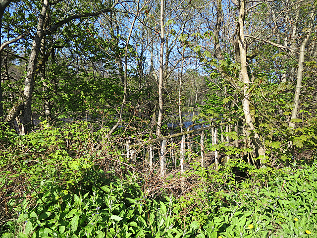
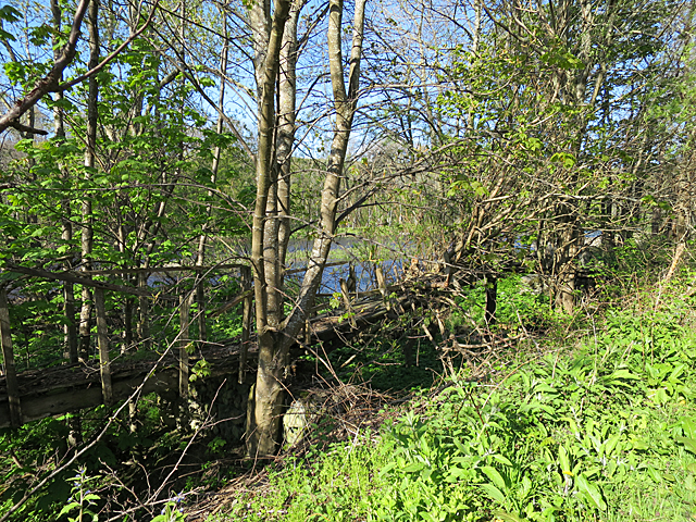
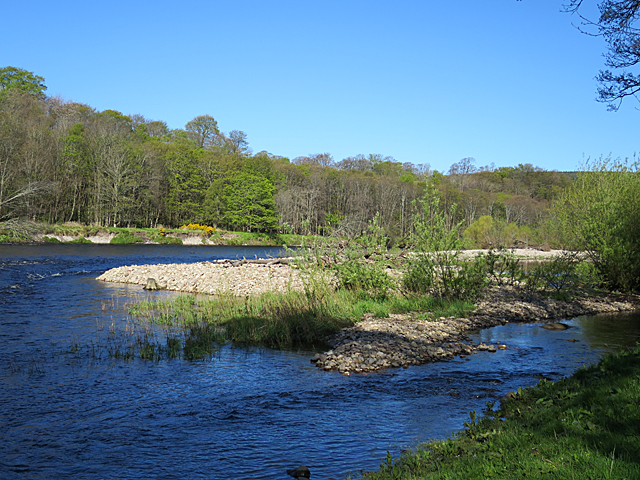
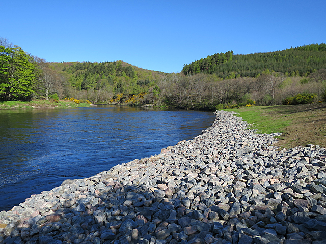
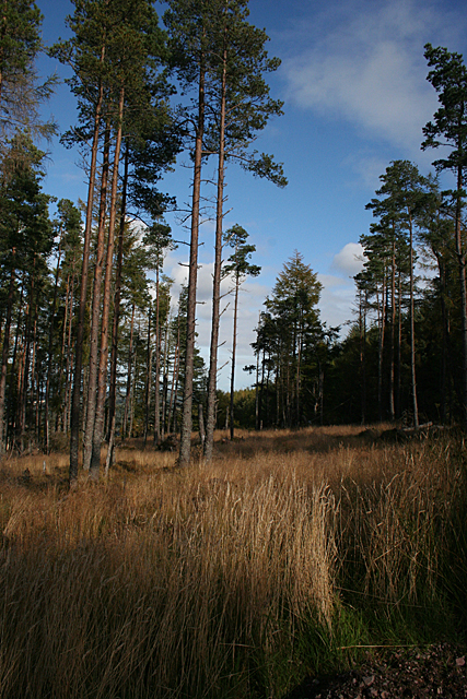
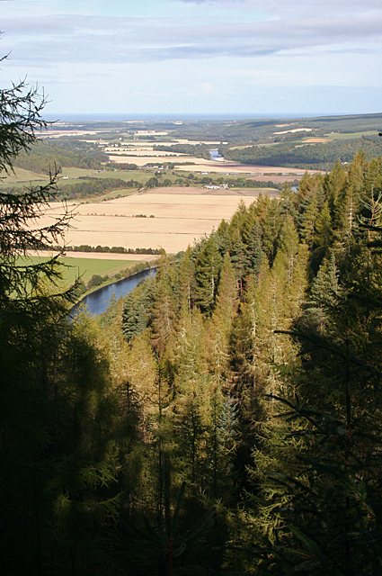
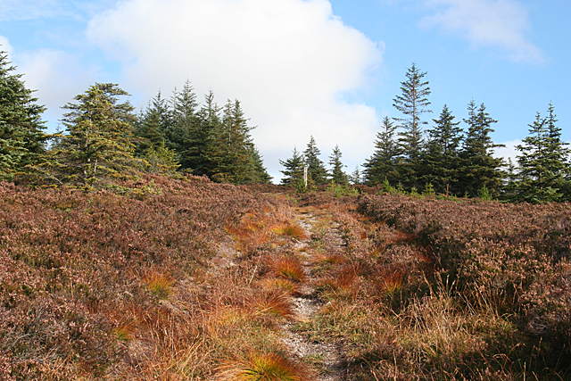
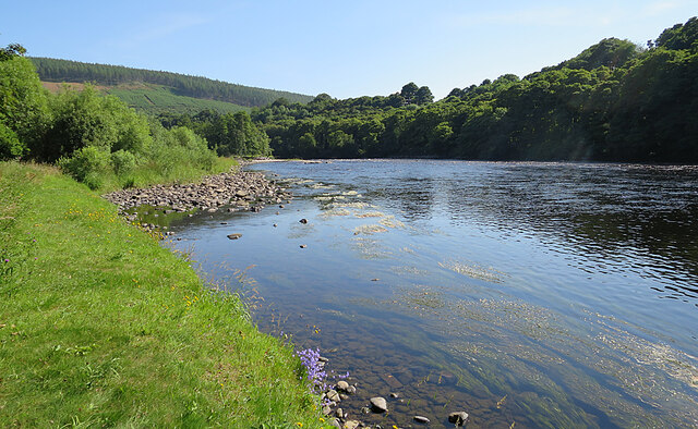
Big Haddock Pool, located in Banffshire, is a serene and picturesque freshwater marsh that offers a unique and diverse ecosystem. Covering an area of approximately 2 acres, it is situated amidst lush greenery and rolling hills, providing a tranquil and enchanting setting for nature enthusiasts and wildlife lovers alike.

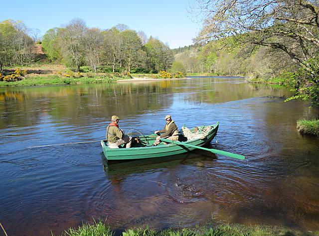
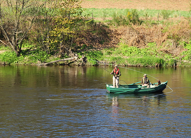
The pool is fed by several natural springs, ensuring a constant flow of crystal-clear water throughout the year. The water in Big Haddock Pool is renowned for its exceptional clarity, making it a haven for various aquatic plants and organisms. The pool is home to an array of native fish species, including the iconic haddock, which lends its name to the pool. Anglers are often drawn to its tranquil waters, as it provides an excellent opportunity for fishing.

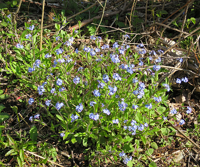
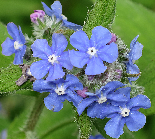
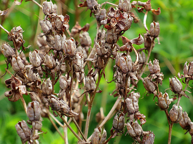
Surrounding the pool are vibrant and diverse wetland plants such as water lilies, reeds, and sedges. These plants not only provide habitat and food for a multitude of bird species but also create a stunning and picturesque landscape. Birdwatchers flock to Big Haddock Pool, especially during the migratory seasons, as it attracts a wide variety of bird species including herons, ducks, and waders.

Furthermore, the pool serves as an important breeding ground for amphibians such as frogs and toads. The shallow areas and abundant vegetation provide ideal conditions for their reproduction and development. This, in turn, attracts predators such as otters and water snakes, enhancing the overall biodiversity of the area.

Overall, Big Haddock Pool in Banffshire is a hidden gem nestled in the Scottish countryside, offering a unique and captivating experience for nature enthusiasts. Its vibrant ecosystem, diverse wildlife, and serene ambiance make it a must-visit destination for anyone seeking a peaceful and immersive encounter with nature.

If you have any feedback on the listing, please let us know in the comments section below.

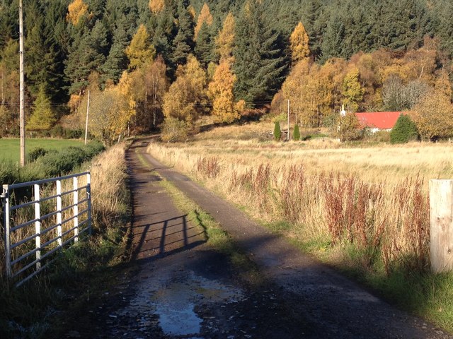
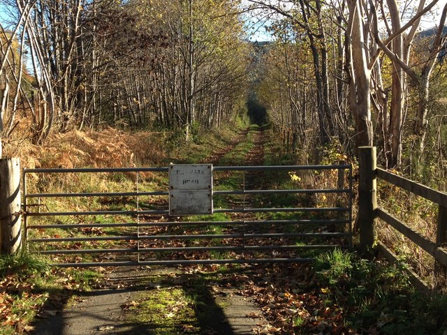
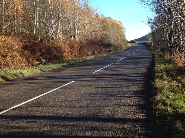
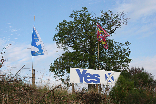
Big Haddock Pool Images

Images are sourced within 2km of 57.537778/-3.1808654 or Grid Reference NJ2950. Thanks to Geograph Open Source API. All images are credited.

Track to a ruined cottage near Dundurcas
Private road near Dundurcas Farm
B9015 near Rothes
B9015 near Rothes
Yes Campaign Sign No prizes for guessing which was this householder intends to vote. The red flag is tartan and bears a lion rampant and the words 'Scotland the Brave'.
Yes Campaign Sign
No prizes for guessing which was this householder intends to vote. The red flag is tartan and bears a lion rampant and the words 'Scotland the Brave'.
Old Footbridge This used to be the way you got dryshod on to and off the Island of Dundurcas, but there's now a track so it is no longer needed.
Old Footbridge
This used to be the way you got dryshod on to and off the Island of Dundurcas, but there's now a track so it is no longer needed.
Vanishing Footbridge This used to be the way you got dryshod on to and off the Island of Dundurcas, but there's now a track so it is no longer needed - and it has almost disappeared among the vegetation.
Vanishing Footbridge
This used to be the way you got dryshod on to and off the Island of Dundurcas, but there's now a track so it is no longer needed - and it has almost disappeared among the vegetation.
Island of Dundurcas I am actually on the Island of Dundurcas (which is a peninsula, not an island, according to the map) and the shingle banks are part of a smaller island in the River Spey.
Island of Dundurcas
I am actually on the Island of Dundurcas (which is a peninsula, not an island, according to the map) and the shingle banks are part of a smaller island in the River Spey.
Riverbank Reinforcement There has been major investment in protecting the river bank on the Island of Dundurcas from erosion by the Spey.
Riverbank Reinforcement
There has been major investment in protecting the river bank on the Island of Dundurcas from erosion by the Spey.
Angler on the River Spey The ghillie is about to row the boat out into mid-river, where the angler will try his skill.
Angler on the River Spey
The ghillie is about to row the boat out into mid-river, where the angler will try his skill.
Forget-me-not (Myosotis sp) Sorry, but I can't make up my mind which species of Forget-me-not. Any assistance will be appreciated.
Forget-me-not (Myosotis sp)
Sorry, but I can't make up my mind which species of Forget-me-not. Any assistance will be appreciated.
Casting on the Spey The ghillie has anchored the boat, and the angler is casting a line with a fly.
Casting on the Spey
The ghillie has anchored the boat, and the angler is casting a line with a fly.
Green Alkanet (Pentaglottis sempervirens) Green Alkanet forms great green-and-blue swathes along the riverside track.
Green Alkanet (Pentaglottis sempervirens)
Green Alkanet forms great green-and-blue swathes along the riverside track.
Seed Heads I don't know what these are, but I thought it odd to see such obviously dried-out seed heads in June.
Seed Heads
I don't know what these are, but I thought it odd to see such obviously dried-out seed heads in June.
Open Woodland From the height of the Scots Pines, this area must have been densely planted and then partly felled, making space for tall grasses to thrive.
Open Woodland
From the height of the Scots Pines, this area must have been densely planted and then partly felled, making space for tall grasses to thrive.
Red Sheugh The Forestry Commission has thoughtfully provided and signposted a viewpoint here, close to where the road crosses the upper part of the Red Sheugh. The view is right down the strath to Spey Bay, where the River Spey enters the sea.
Red Sheugh
The Forestry Commission has thoughtfully provided and signposted a viewpoint here, close to where the road crosses the upper part of the Red Sheugh. The view is right down the strath to Spey Bay, where the River Spey enters the sea.
Path to Ben Aigen This path is marked on the current maps, and is the route to the top of the Ben from this side. It is also part of the mountain bike trail network.
Path to Ben Aigen
This path is marked on the current maps, and is the route to the top of the Ben from this side. It is also part of the mountain bike trail network.
Crossroads on Ben Aigan The track from left to right is a mountain bike trail called 'The Hammer'. The one coming up from the left is the main path up to Ben Aigen, and the waymark forbids cycling downhill on it, no doubt for the safety of pedestrians and ascending cyclists. It continues beyodn 'The Hammer' towards the summit.
Crossroads on Ben Aigan
The track from left to right is a mountain bike trail called 'The Hammer'. The one coming up from the left is the main path up to Ben Aigen, and the waymark forbids cycling downhill on it, no doubt for the safety of pedestrians and ascending cyclists. It continues beyodn 'The Hammer' towards the summit.
River Spey A peaceful reach of the River Spey at Dundurcas.
River Spey
A peaceful reach of the River Spey at Dundurcas.
Show me another place!

Big Haddock Pool is located at Grid Ref: NJ2950 (Lat: 57.537778, Lng: -3.1808654)

Unitary Authority: Moray

Police Authority: North East

What 3 Words

///sinkhole.chitchat.crowns. Near Rothes, Moray

Related Wikis

Sourden railway station

Sourden railway station or Sourdon railway station later Sourden Siding served the rural area near Aikenway Castle and the Wood of Sourden, Moray, Scotland...

Rothes F.C.

Rothes Football Club is a senior football club who play in the Highland Football League. They were originally founded in 1907 as a Junior club, Rothes...

Caperdonich distillery

Caperdonich distillery was a producer of Speyside single malt Scotch whisky that operated between 1898 and 1902, and then again between 1965 and 2002....

Rothes railway station

Rothes railway station served the town of Rothes, Moray, Scotland from 1858 to 1968 on the Morayshire Railway. == History == The station opened on 23 August...

Glen Grant distillery

Glen Grant distillery was founded in 1840 in Rothes, Speyside, and produces single malt Scotch whisky. Previously owned by Chivas Brothers Ltd, best known...

Grant Hall, Rothes

Grant Hall, formerly Rothes Town Hall, is a municipal building in New Street, Rothes, Moray, Scotland. The structure is currently used as a community events...

Rothes

Rothes (; Scottish Gaelic: RĂ thais) is a town in Moray, Scotland, on the banks of the River Spey, 10 miles (16 km) south of Elgin. The town had a population...
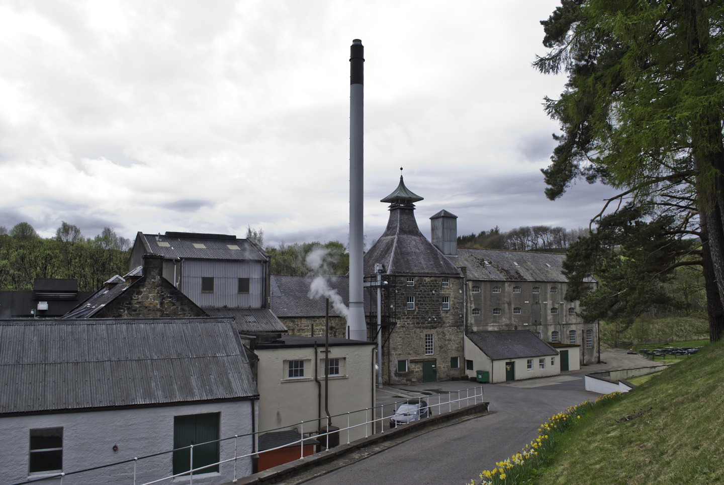
Speyburn distillery

Speyburn distillery Speyside Scottish whisky distillery, in Rothes, Moray, Scotland. == History == Speyburn distillery was founded in 1897 by John Hopkins...

Related Videos

Rothes Glen, Glen Grant Distillery, Speyside, Moray

Absolutely love this place. It's a sanctuary. We had the whole place to ourselves - our very own gardens. Something very ...

ARNDILLY DAY TRIP DIARY - (Scotland)

ARNDILLY DAY TRIP DIARY - (Scotland) Diary: 21 Jun 2020 The weather forecast is not good for today's trip but that is not going ...

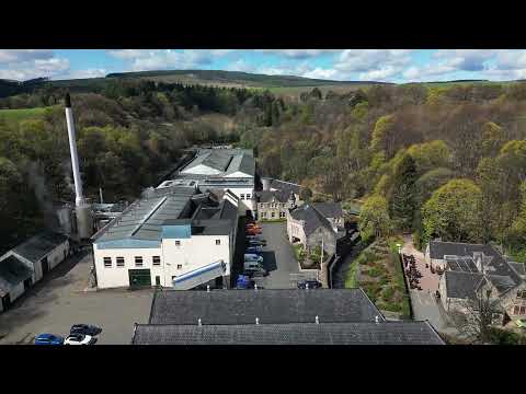
Glen Grant, Glen Spey & Glenrothes - 3 Distilleries in Rothes - DJI MINI3 Pro 4K - April 2023

Another from the Speyside day out - 5th day of our recent Highland holiday - and this time 3 distilleries all in Rothes, Speyside.

Chris Grant - Can't Take My Eyes Off You.

Please Subscribe, Share and Like this Channel. Tia If you want to see more of Chris go to these links: ...

Nearby Amenities

Located within 500m of 57.537778,-3.1808654
Power: pole
Lat/Long: 57.5421462/-3.1823833
Power: pole
Lat/Long: 57.541859/-3.1810623
Power: pole
Lat/Long: 57.5415776/-3.1797293
Power: pole
Lat/Long: 57.5412954/-3.1783935
Power: pole
Lat/Long: 57.5410176/-3.17709
Power: pole
Lat/Long: 57.5407297/-3.1757918
Power: pole
Lat/Long: 57.5375466/-3.1877829
Power: pole
Lat/Long: 57.5370423/-3.1874363
Power: pole
Lat/Long: 57.5365095/-3.1870677
Power: pole
Lat/Long: 57.5361121/-3.1867823
Power: pole
Lat/Long: 57.5356988/-3.1865063
The data included in this document is from www.openstreetmap.org. The data is made available under ODbL.

Have you been to Big Haddock Pool?

Leave your review of Big Haddock Pool below (or comments, questions and feedback).