Gavins Loch
Lake, Pool, Pond, Freshwater Marsh in Dumfriesshire
Scotland
Gavins Loch
Gavins Loch is a picturesque freshwater loch located in the region of Dumfriesshire in south-west Scotland. Nestled amidst rolling hills and verdant landscapes, this stunning body of water stretches over an area of approximately 100 acres. It is a prominent feature of the local landscape and is a popular destination for nature enthusiasts and visitors seeking tranquility.
The loch is teeming with a diverse array of flora and fauna, making it a haven for wildlife. The surrounding area is adorned with reed beds, which provide a habitat for various species of birds and waterfowl. Visitors can often spot elegant swans gracefully gliding across the water, while ducks and geese can be seen paddling near the shores.
Gavins Loch is also known for its abundance of fish, including brown trout and pike, making it a favored spot for anglers. The calm waters and serene surroundings make it an ideal place for fishing enthusiasts to spend a peaceful day casting their lines.
Surrounded by lush vegetation and offering breathtaking views, Gavins Loch is a haven for outdoor activities. Many visitors enjoy leisurely walks along its shores, taking in the tranquil atmosphere and enjoying the beauty of the surrounding nature. The loch is also a popular spot for boating and kayaking, providing an opportunity to explore its calm waters and appreciate the stunning surroundings from a different perspective.
In conclusion, Gavins Loch is a serene and scenic freshwater loch in Dumfriesshire, Scotland. With its diverse wildlife, excellent fishing opportunities, and breathtaking views, it continues to enchant visitors and locals alike.
If you have any feedback on the listing, please let us know in the comments section below.
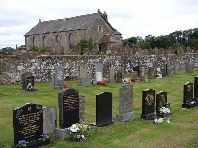
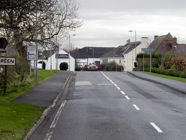
Gavins Loch Images
Images are sourced within 2km of 55.012047/-3.1062732 or Grid Reference NY2969. Thanks to Geograph Open Source API. All images are credited.


Gavins Loch is located at Grid Ref: NY2969 (Lat: 55.012047, Lng: -3.1062732)
Unitary Authority: Dumfries and Galloway
Police Authority: Dumfries and Galloway
What 3 Words
///airbase.shackles.jaunts. Near Gretna, Dumfries & Galloway
Nearby Locations
Related Wikis
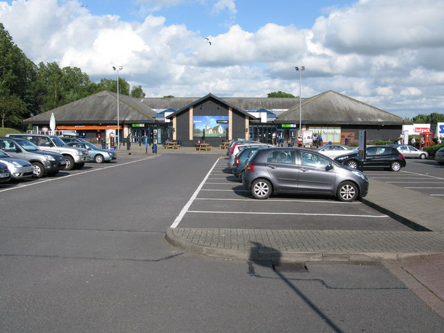
Gretna Green services
Gretna Green services is a motorway service station near the village of Gretna Green, Scotland and the town of Gretna. The service station is located next...

Kirkpatrick railway station
Kirkpatrick railway station was a station which served the rural area around Kirkpatrick Fleming, north of Gretna in the Scottish county of Dumfries and...

Rigg railway station
Rigg railway station was a railway station in Dumfries and Galloway between Eastriggs and Gretna, serving the small village of Rigg. == History == The...
Kirkpatrick-Fleming
Kirkpatrick-Fleming (Scottish Gaelic: Cill Phàdraig) is a village and civil parish in Dumfries and Galloway, south-west Scotland. It is located between...
Halcrow Stadium
Halcrow Stadium was a greyhound racing stadium in Annan Road, Gretna, Scotland == History == The plans to build a new greyhound stadium on a ten-acre site...

Quintinshill rail disaster
The Quintinshill rail disaster was a multi-train rail crash which occurred on 22 May 1915 outside the Quintinshill signal box near Gretna Green in Dumfriesshire...
Gretna Green
Gretna Green is a parish in the southern council area of Dumfries and Galloway, Scotland, on the Scottish side of the border between Scotland and England...

Gretna Green railway station
Gretna Green is a railway station on the Glasgow South Western Line, which runs between Carlisle and Glasgow Central via Kilmarnock. The station, situated...
Nearby Amenities
Located within 500m of 55.012047,-3.1062732Have you been to Gavins Loch?
Leave your review of Gavins Loch below (or comments, questions and feedback).