Kennan's Isle
Island in Kirkcudbrightshire
Scotland
Kennan's Isle
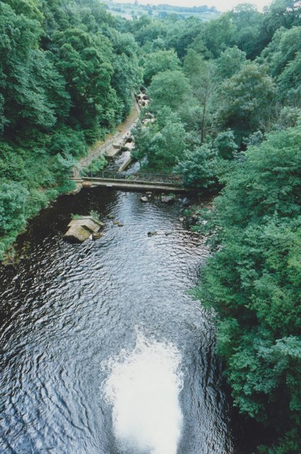
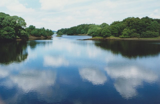
Kennan's Isle is a small island located off the coast of Kirkcudbrightshire, Scotland. Situated in the Solway Firth, this uninhabited isle covers an area of approximately 0.4 hectares and is accessible by boat. The island is named after the nearby Kennan Bay and is known for its rugged and picturesque landscape.
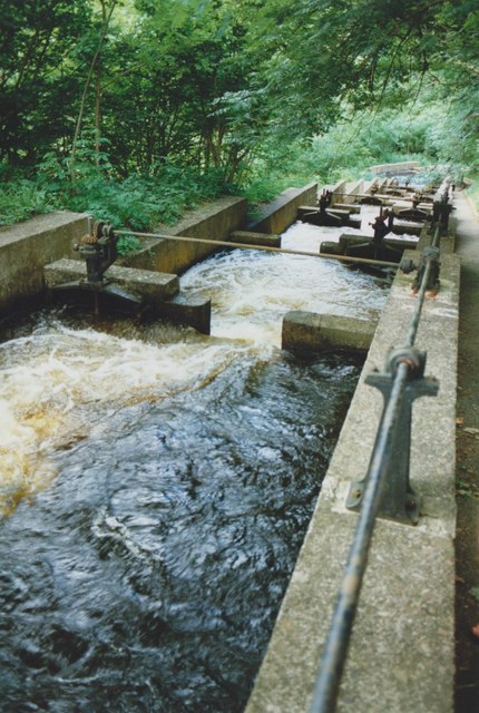
The terrain of Kennan's Isle is characterized by rocky cliffs, grassy slopes, and a few scattered trees. The island offers stunning views of the surrounding waters and the distant coastline, making it an ideal spot for nature enthusiasts and photographers. The lack of permanent human settlement on the island has allowed wildlife to thrive, and it is home to a variety of bird species, including gulls and cormorants.
Visitors can explore the island by foot, taking in the breathtaking scenery and enjoying the peaceful atmosphere. The rocky shores offer opportunities for rock pooling and beachcombing, while the grassy areas are perfect for picnics or simply relaxing amidst nature.
Kennan's Isle holds historical significance as well. It is believed that the island was used as a refuge by smugglers in the past, taking advantage of its secluded location. Today, remnants of this history can still be found, with the ruins of old stone structures and the occasional artifact.
Overall, Kennan's Isle is a hidden gem off the coast of Kirkcudbrightshire, offering a peaceful retreat amidst stunning natural beauty and a glimpse into Scotland's rich history.
If you have any feedback on the listing, please let us know in the comments section below.
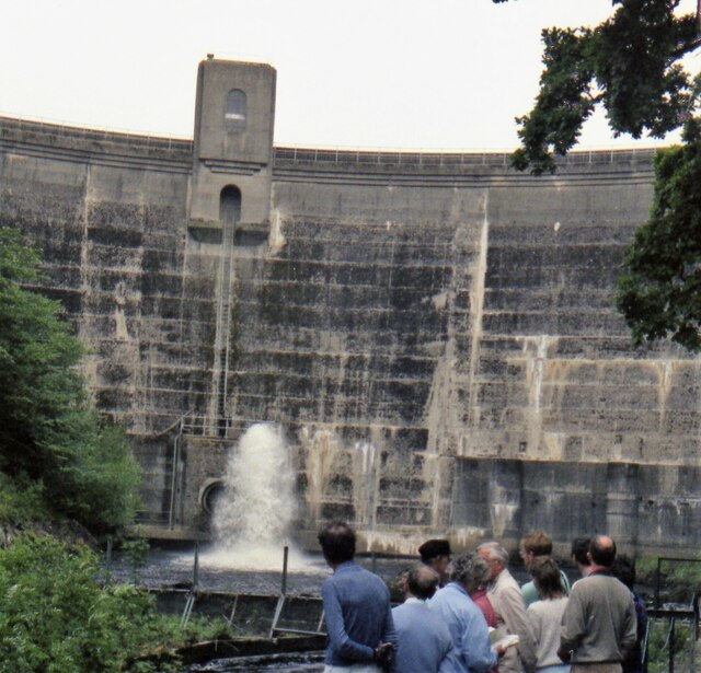
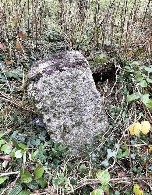
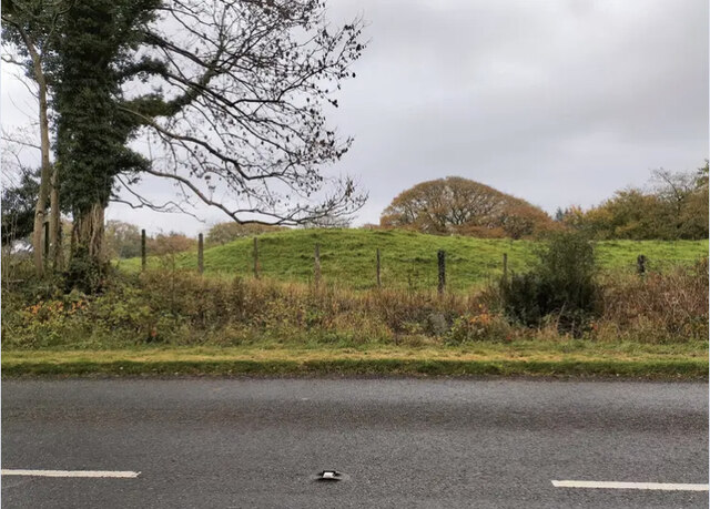
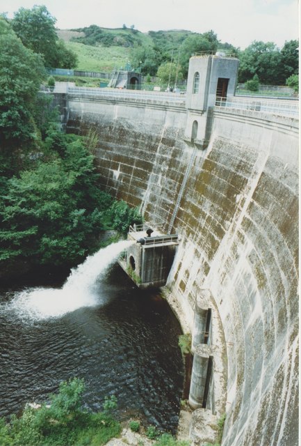
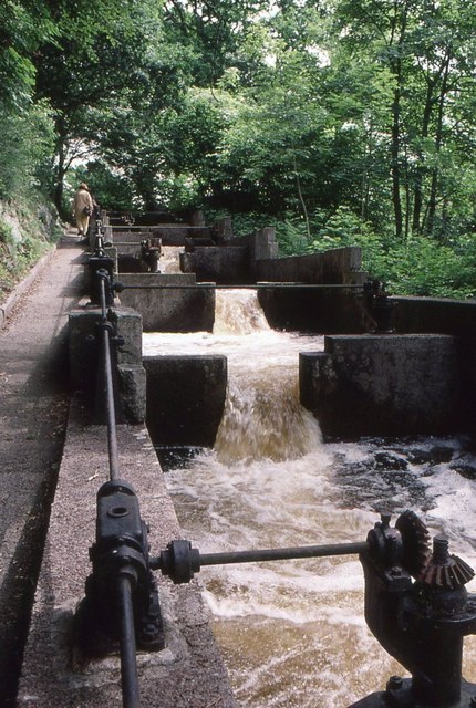
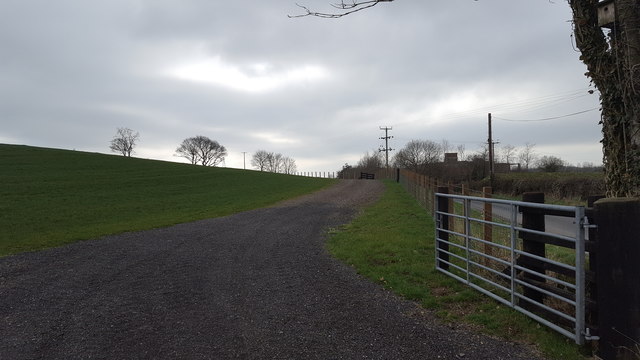
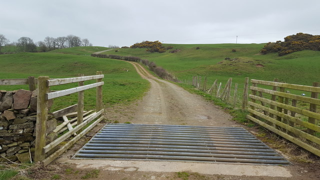
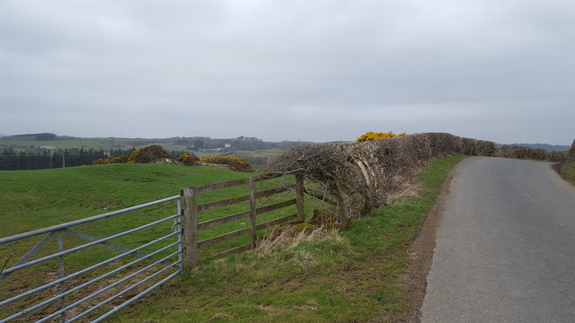
Kennan's Isle Images
Images are sourced within 2km of 54.877325/-4.0202003 or Grid Reference NX7055. Thanks to Geograph Open Source API. All images are credited.


Kennan's Isle is located at Grid Ref: NX7055 (Lat: 54.877325, Lng: -4.0202003)
Unitary Authority: Dumfries and Galloway
Police Authority: Dumfries and Galloway
What 3 Words
///firepower.goad.sticks. Near Kirkcudbright, Dumfries & Galloway
Nearby Locations
Related Wikis

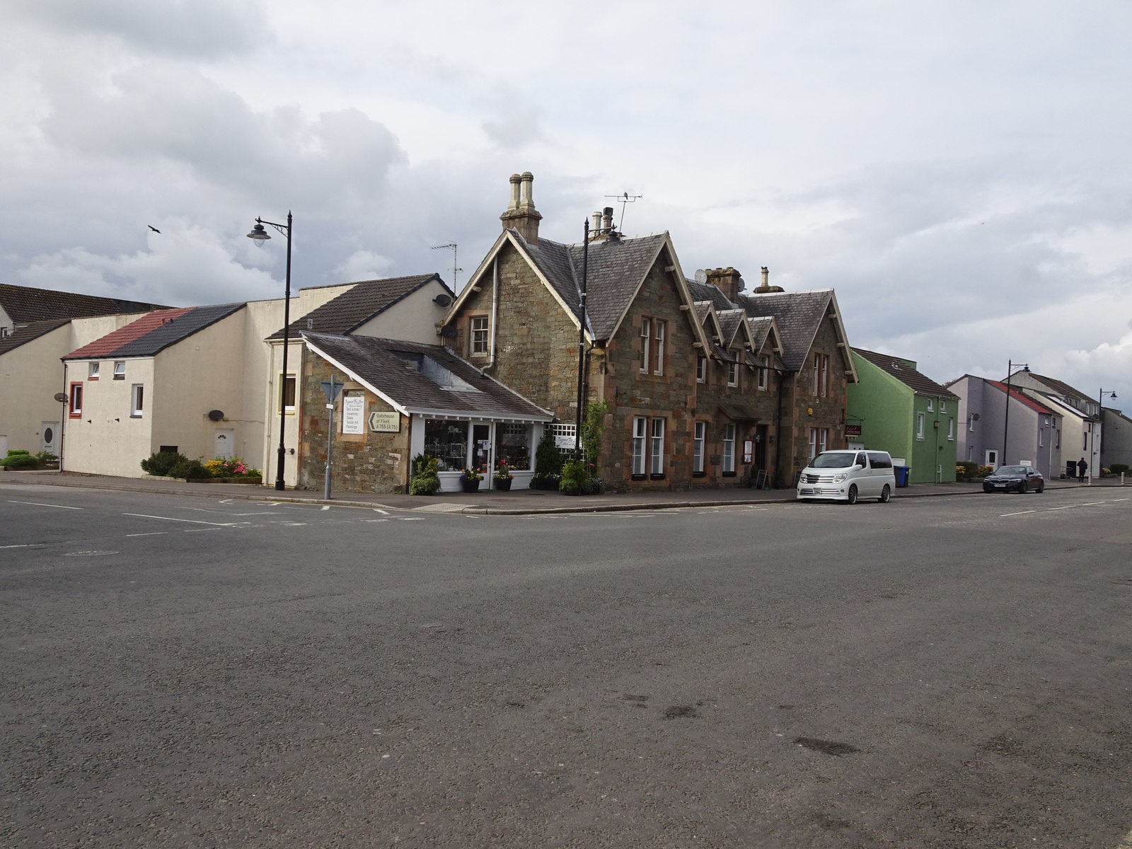
Tongland
Tongland is a small village about 2 miles (3 km) north of Kirkcudbright, in the historic county of Kirkcudbrightshire in Dumfries and Galloway, Scotland...
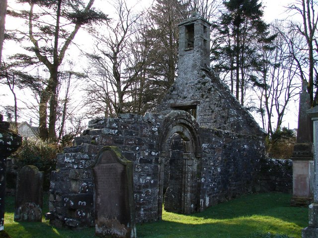
Tongland Abbey
Tungland or Tongland Abbey was a Premonstratensian monastic community located in Tongland in the historical county of Kirkcudbrightshire in Dumfries and...

Tarff railway station
Tarff railway station served the village of Ringford, Dumfries and Galloway, Scotland from 1864 to 1965 on the Kirkcudbright Railway. == History == The...

Ringford
Ringford is a village in the historical county of Kirkcudbrightshire in Dumfries and Galloway located at grid reference NX689578 beside the Tarff Water...

Twynholm
Twynholm () is a village in Scotland. It is located 2+1⁄4 miles (3.6 km) north-northwest of Kirkcudbright and 4+1⁄2 miles (7.2 km) east of Gatehouse of...
Kirkcudbright Railway
The Kirkcudbright Railway was a railway branch line linking Kirkcudbright to the Castle Douglas and Dumfries Railway at Castle Douglas. It opened in 1864...
Kirkcudbright railway station
Kirkcudbright railway station served the town of Kirkcudbright, Dumfries and Galloway, Scotland from 1864 to 1965 on the Kirkcudbright Railway. == History... ==

Kirkcudbright war memorial
Kirkcudbright war memorial commemorates the men of the Scottish town of Kirkcudbright killed during the First and Second World Wars. It is situated in...
Nearby Amenities
Located within 500m of 54.877325,-4.0202003Have you been to Kennan's Isle?
Leave your review of Kennan's Isle below (or comments, questions and feedback).