Yeovil Rock
Island in Devon
England
Yeovil Rock

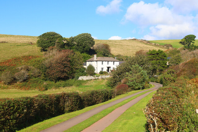
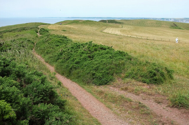
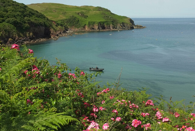
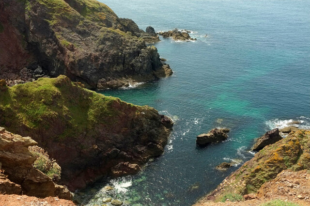
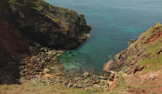
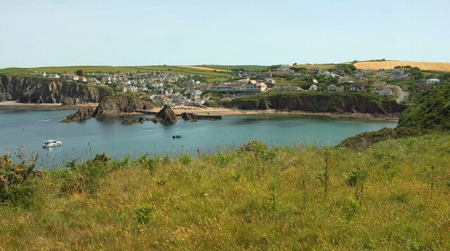
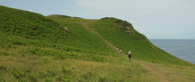
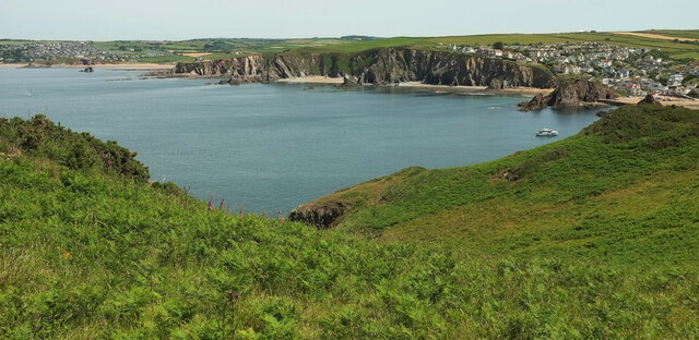
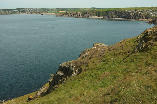
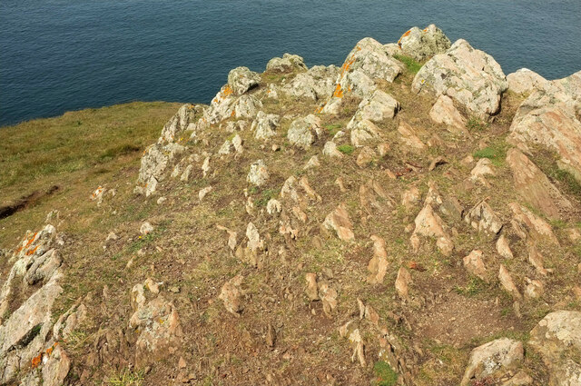
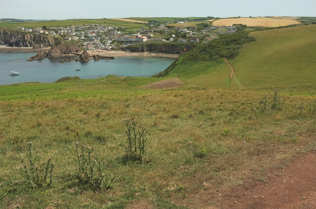
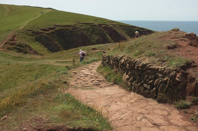
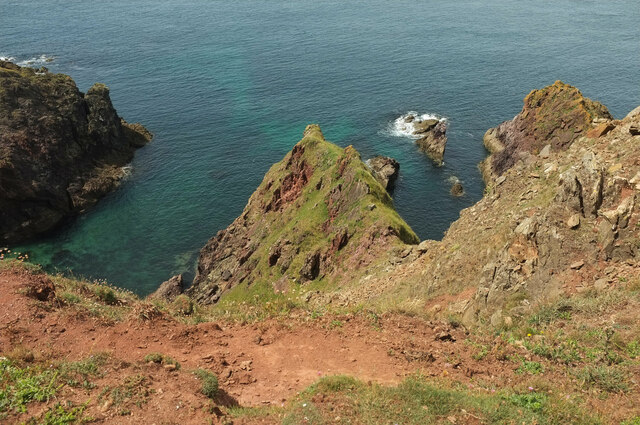
Yeovil Rock is a small island located off the coast of Devon, England. It is situated in the Bristol Channel, approximately 2.5 miles southwest of the town of Ilfracombe. The island is characterized by rugged cliffs and rocky shores, making it a popular destination for nature enthusiasts and birdwatchers.
With an area of just over 2 hectares, Yeovil Rock is relatively small in size. It is composed mainly of limestone and is known for its unique geology, featuring a variety of rock formations and caves. The island is accessible by boat, and visitors can explore its shores and observe the diverse marine life that inhabits the surrounding waters.
In terms of wildlife, Yeovil Rock is home to a range of bird species, including puffins, guillemots, and razorbills, which nest on the cliffs during the breeding season. The island also attracts seals, who can often be spotted lounging on the rocky outcrops. Additionally, the waters around Yeovil Rock are known for their rich biodiversity, with an array of fish and invertebrate species thriving in the marine environment.
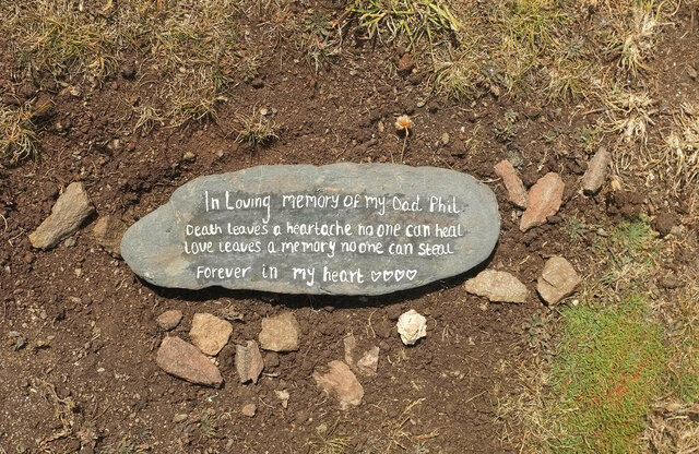
Due to its remote location and protected status, Yeovil Rock remains largely untouched by human activity. The island offers a serene and picturesque setting, ideal for those seeking a tranquil escape or an opportunity to observe nature in its purest form.
If you have any feedback on the listing, please let us know in the comments section below.
Yeovil Rock Images
Images are sourced within 2km of 50.243403/-3.8672361 or Grid Reference SX6639. Thanks to Geograph Open Source API. All images are credited.
Yeovil Rock is located at Grid Ref: SX6639 (Lat: 50.243403, Lng: -3.8672361)
Administrative County: Devon
Police Authority: Devon and Cornwall
What 3 Words
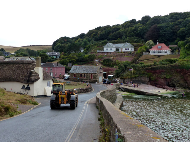
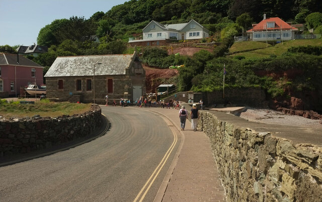
///cracker.consoled.meanings. Near Salcombe, Devon
Nearby Locations
Related Wikis
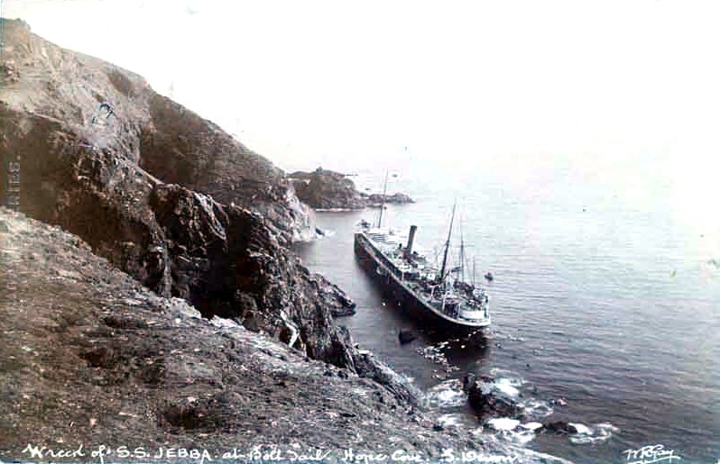
SS Jebba
SS Jebba was a steamship that was built in Middlesbrough in 1896 and wrecked on the south coast of Devon in 1907. She was launched as Albertville for the...

Bolt Tail
Bolt Tail is a headland in Devon, England, immediately to the southwest of Hope Cove in the South Hams district, at grid reference SX670397. Bolt Tail...
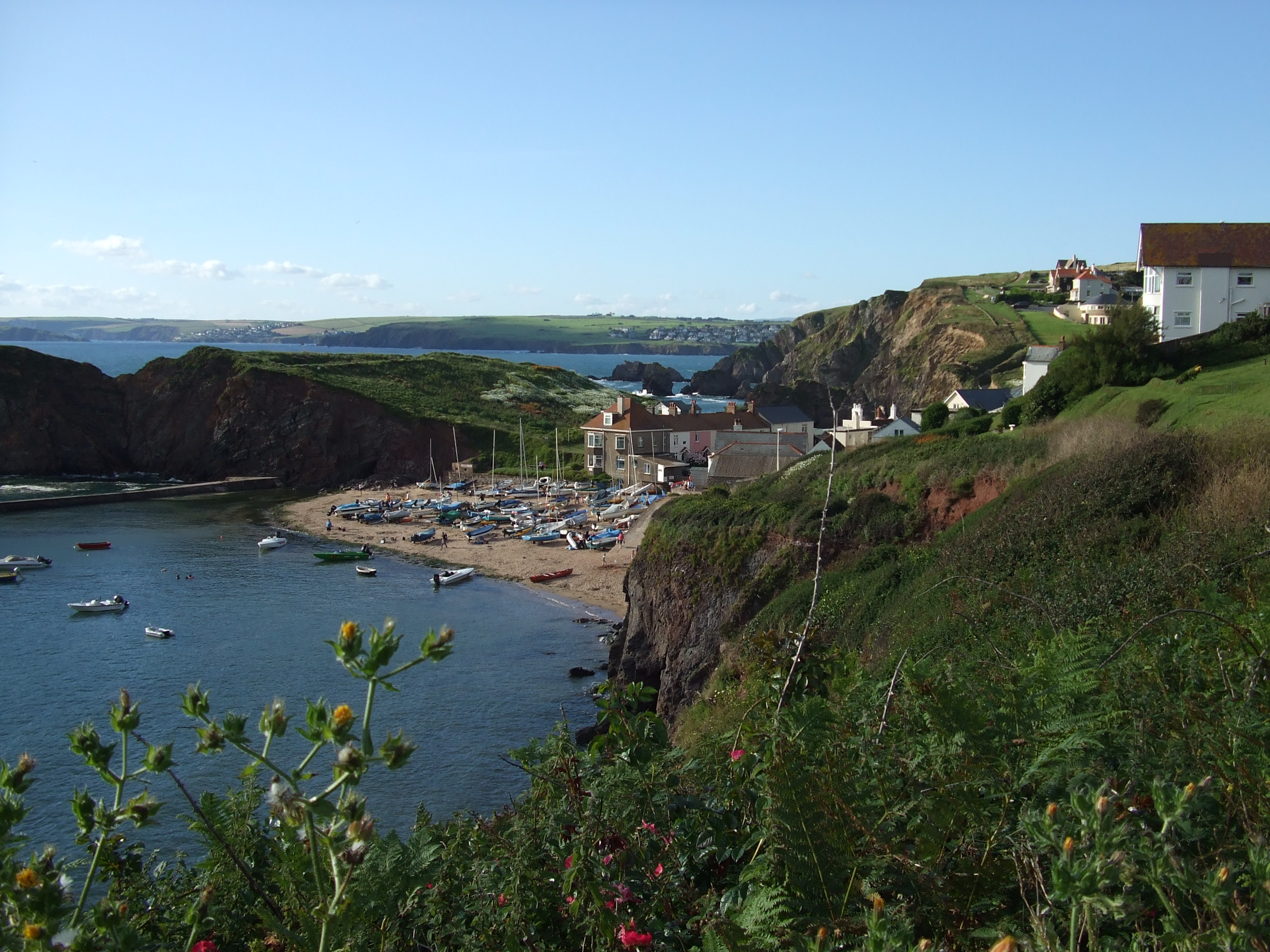
Hope Cove
Hope Cove is a small seaside village within the civil parish of South Huish in South Hams District, Devon, England. It is located 5 miles (8.0 km) west...

Hope Cove Life Boat
Hope Cove Life Boat (based in Hope Cove, Devon) was formed in 1878 and is a voluntary search and rescue service that operates an inshore rescue boat in...

SS Louis Sheid
SS Louis Sheid was a 6,057 ton Belgian steamer that ran aground off Devon after escaping U-47 following the rescue of the captain and crew of the freighter...

Bolberry Down
Bolberry Down is a clifftop area on the coast of Devon, England. The headland of Bolt Tail lies to the west and Bolt Head and the town of Salcombe to the...

Galmpton, South Hams
Galmpton is a small hamlet near Thurlestone, Devon, England. It is in the South Hams district and is five miles west of Salcombe. In 1870-72 Galmpton had...
South Milton Ley
South Milton Ley (grid reference SX685422) is a 162,000 square metres (40 acres) wetland in the South Hams, Devon, England. It was notified as a Site of...
Nearby Amenities
Located within 500m of 50.243403,-3.8672361Have you been to Yeovil Rock?
Leave your review of Yeovil Rock below (or comments, questions and feedback).