Redrot Ledge
Island in Devon
England
Redrot Ledge

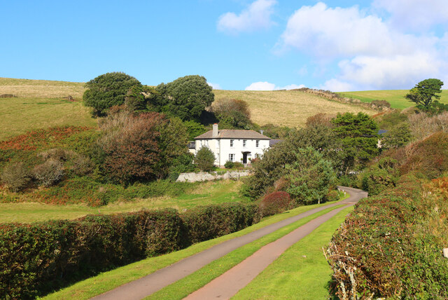
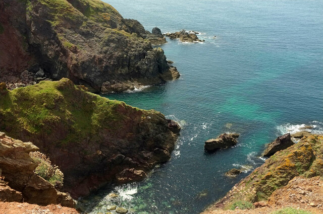
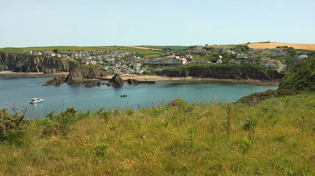
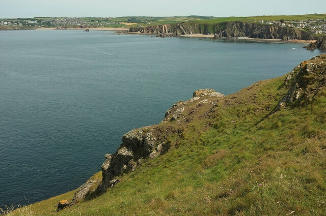
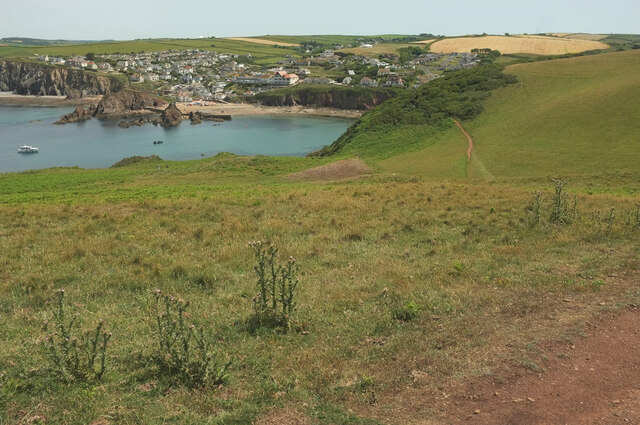
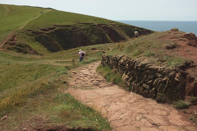
Redrot Ledge is a picturesque island located off the coast of Devon, England. With an area of approximately 20 acres, this small yet stunning island is known for its rugged cliffs, pristine beaches, and diverse wildlife. Accessible only by boat, it offers a secluded and tranquil escape for nature enthusiasts and adventurers alike.
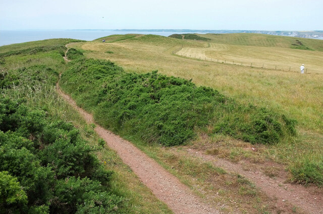
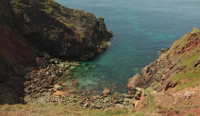
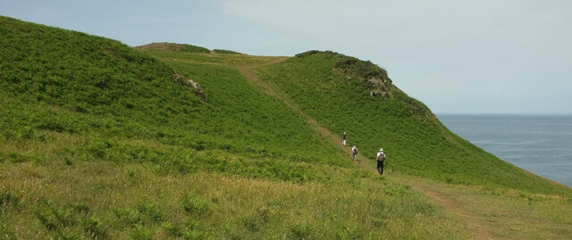
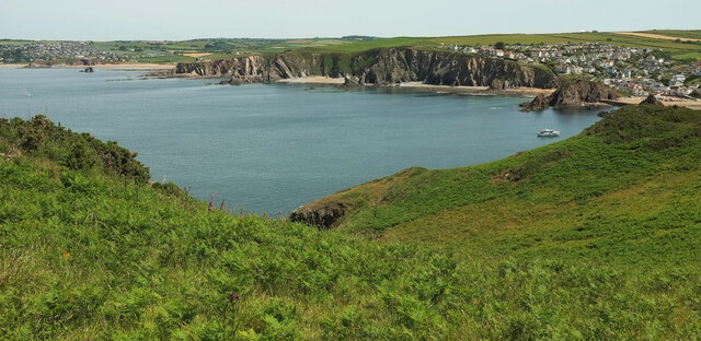
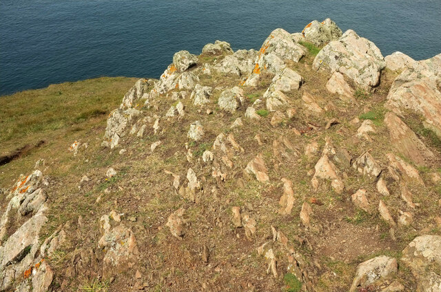
The island's most distinctive feature is its towering cliffs, which reach heights of up to 100 meters in some areas. These dramatic rock formations provide breathtaking panoramic views of the surrounding sea and coastline, making Redrot Ledge a popular spot for photographers and hikers seeking stunning vistas.
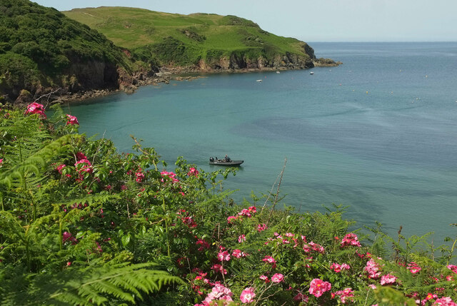
The island's beaches are equally captivating, with their golden sands and crystal-clear waters. Visitors can relax on the shore, sunbathe, or indulge in water activities such as swimming, snorkeling, and kayaking. The coastal waters surrounding Redrot Ledge are teeming with marine life, making it a haven for divers and snorkelers who can explore the vibrant underwater ecosystem.
Redrot Ledge is also home to a rich variety of flora and fauna. The island's diverse habitats, including grasslands, woodlands, and rocky cliffs, support a wide array of plant species. Wildlife enthusiasts can spot various bird species, including puffins, gulls, and cormorants, nesting on the cliffs. Seals and dolphins are frequently seen swimming in the surrounding waters, adding to the island's natural charm.
As a protected nature reserve, Redrot Ledge offers visitors a unique opportunity to immerse themselves in the unspoiled beauty of Devon's coastline. Whether it's admiring the dramatic cliffs, exploring the marine life, or simply enjoying the tranquility of the island, Redrot Ledge promises an unforgettable experience for all who venture to its shores.
If you have any feedback on the listing, please let us know in the comments section below.
Redrot Ledge Images
Images are sourced within 2km of 50.238711/-3.8686936 or Grid Reference SX6639. Thanks to Geograph Open Source API. All images are credited.
Redrot Ledge is located at Grid Ref: SX6639 (Lat: 50.238711, Lng: -3.8686936)
Administrative County: Devon
Police Authority: Devon and Cornwall
What 3 Words
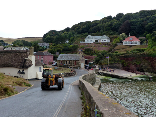
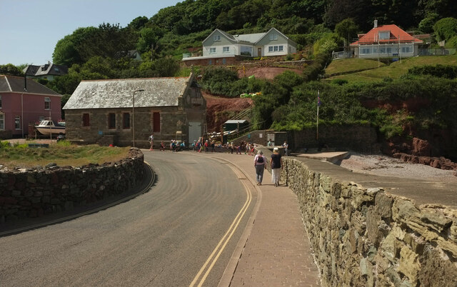
///videos.fixture.hooked. Near Salcombe, Devon
Nearby Locations
Related Wikis
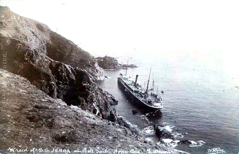
SS Jebba
SS Jebba was a steamship that was built in Middlesbrough in 1896 and wrecked on the south coast of Devon in 1907. She was launched as Albertville for the...

Bolt Tail
Bolt Tail is a headland in Devon, England, immediately to the southwest of Hope Cove in the South Hams district, at grid reference SX670397. Bolt Tail...
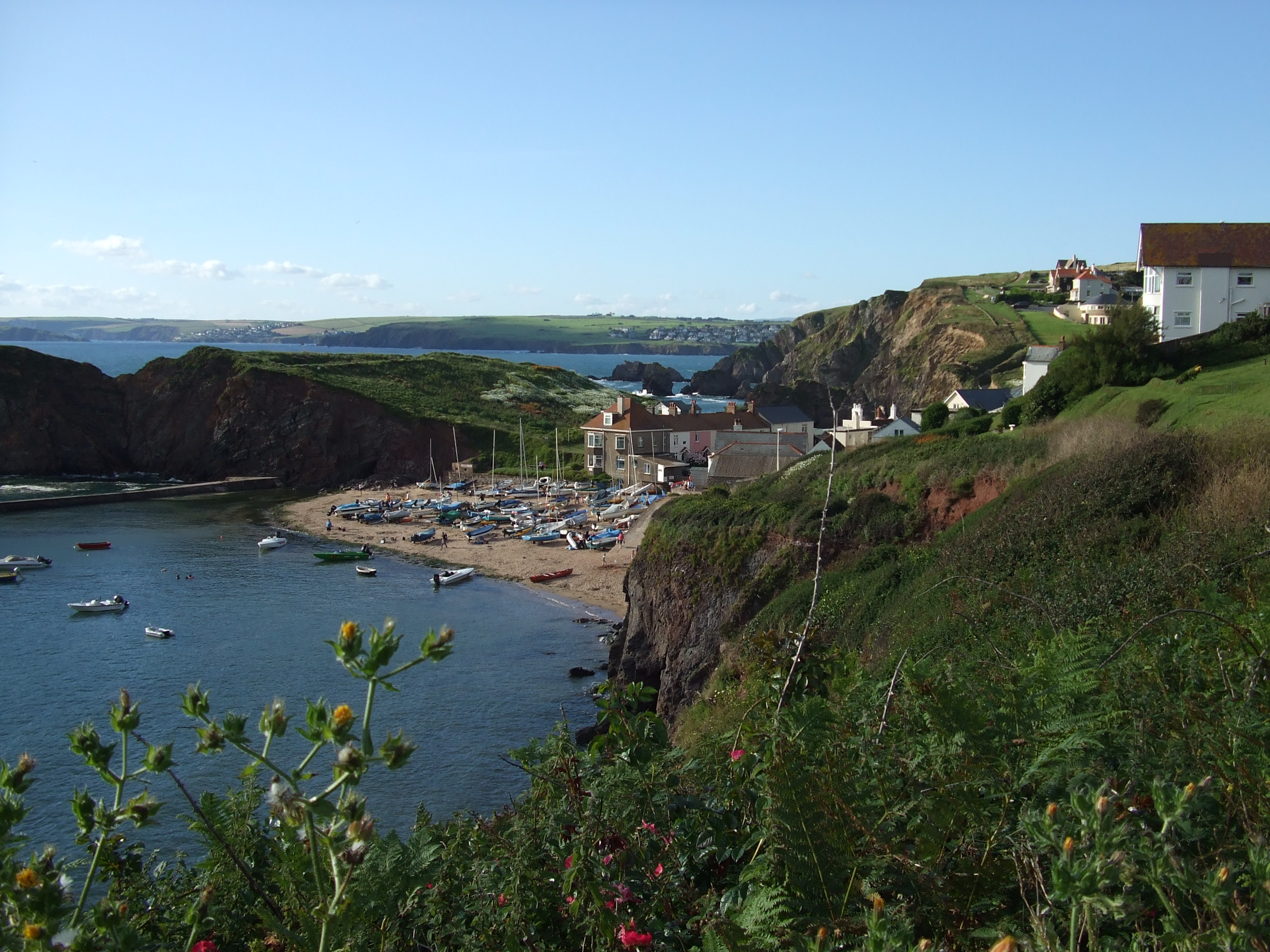
Hope Cove
Hope Cove is a small seaside village within the civil parish of South Huish in South Hams District, Devon, England. It is located 5 miles (8.0 km) west...

Hope Cove Life Boat
Hope Cove Life Boat (based in Hope Cove, Devon) was formed in 1878 and is a voluntary search and rescue service that operates an inshore rescue boat in...

Bolberry Down
Bolberry Down is a clifftop area on the coast of Devon, England. The headland of Bolt Tail lies to the west and Bolt Head and the town of Salcombe to the...

SS Louis Sheid
SS Louis Sheid was a 6,057 ton Belgian steamer that ran aground off Devon after escaping U-47 following the rescue of the captain and crew of the freighter...

Galmpton, South Hams
Galmpton is a small hamlet near Thurlestone, Devon, England. It is in the South Hams district and is five miles west of Salcombe. In 1870-72 Galmpton had...
Bolberry
Bolberry is a hamlet on the south coast of Devon, England. The village is mentioned in Domesday Book in 1066 and 1086, which shows the land was of little...
Nearby Amenities
Located within 500m of 50.238711,-3.8686936Have you been to Redrot Ledge?
Leave your review of Redrot Ledge below (or comments, questions and feedback).