Bolt Tail
Coastal Feature, Headland, Point in Devon South Hams
England
Bolt Tail

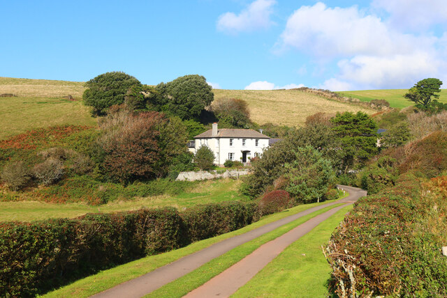
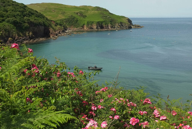
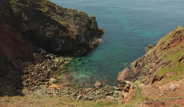
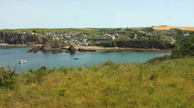
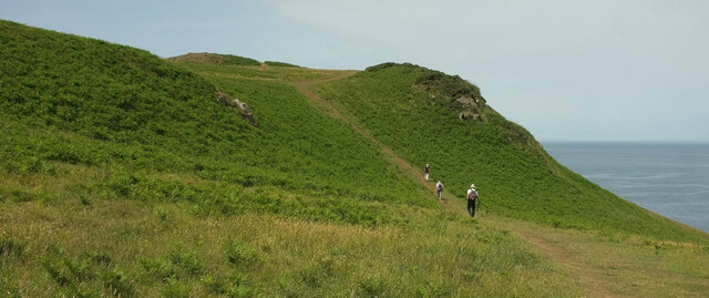
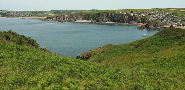
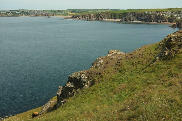
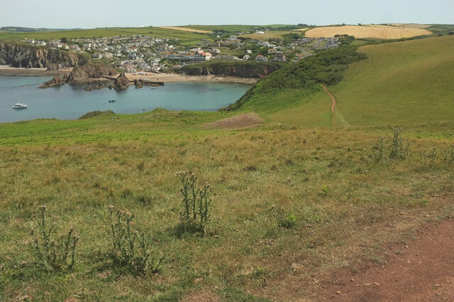
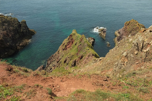
Bolt Tail is a prominent headland located on the southern coast of Devon, England. Situated between the towns of Salcombe and Thurlestone, it juts out into the English Channel, offering stunning panoramic views of the surrounding coastline. With its dramatic cliffs and rugged terrain, Bolt Tail is a popular destination for hikers, nature enthusiasts, and photographers.
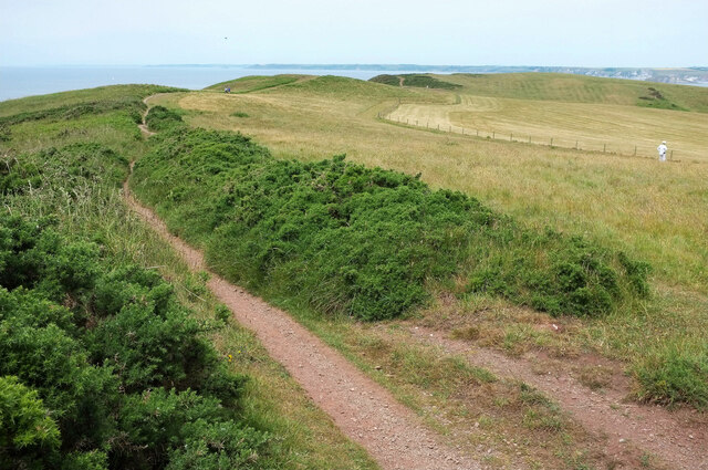
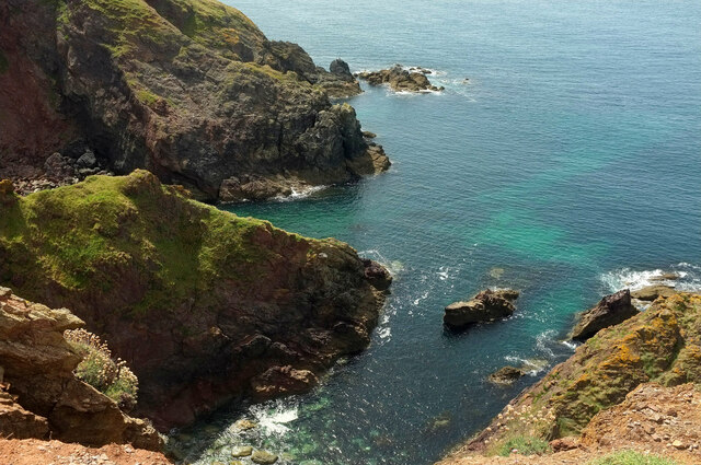
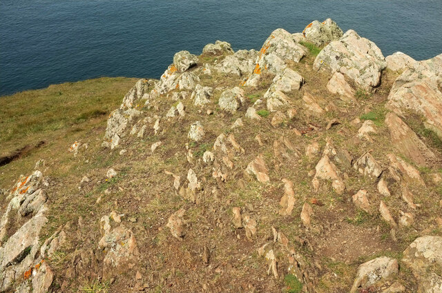
The headland is characterized by its distinctive geological features, including steep cliffs that rise up to 60 meters above sea level. These cliffs provide a nesting site for various seabird species, such as fulmars, guillemots, and kittiwakes. The area is also home to a diverse range of flora and fauna, with wildflowers, grasses, and shrubs dotting the landscape.
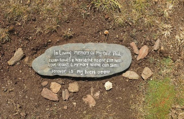
In addition to its natural beauty, Bolt Tail has a rich history. The headland was once used as a vantage point for spotting enemy ships during times of war, and remnants of ancient fortifications can still be seen today. The area is also associated with local legends and folklore, adding to its mystique and allure.
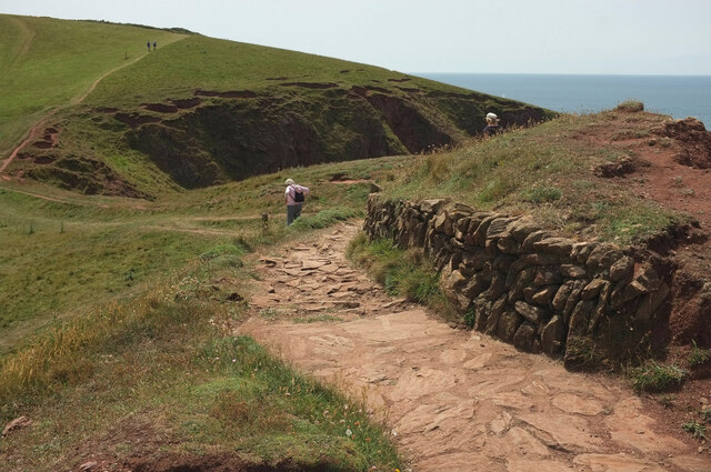
Visitors to Bolt Tail can explore the headland via a network of footpaths, which offer breathtaking views of the surrounding coastline and the open sea. The area is also a popular spot for birdwatching and whale watching, as dolphins and porpoises are frequently spotted in the waters below.
Overall, Bolt Tail is a captivating coastal feature that combines natural beauty, rich history, and abundant wildlife, making it a must-visit destination for anyone exploring the stunning coast of Devon.
If you have any feedback on the listing, please let us know in the comments section below.
Bolt Tail Images
Images are sourced within 2km of 50.24189/-3.8695472 or Grid Reference SX6639. Thanks to Geograph Open Source API. All images are credited.
Bolt Tail is located at Grid Ref: SX6639 (Lat: 50.24189, Lng: -3.8695472)
Administrative County: Devon
District: South Hams
Police Authority: Devon and Cornwall
What 3 Words
///frown.inner.product. Near Salcombe, Devon
Nearby Locations
Related Wikis
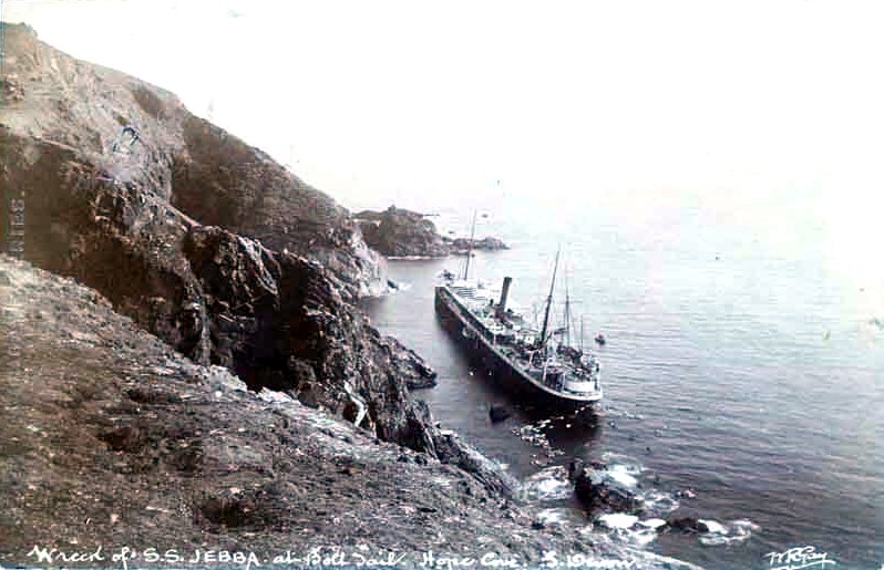
SS Jebba
SS Jebba was a steamship that was built in Middlesbrough in 1896 and wrecked on the south coast of Devon in 1907. She was launched as Albertville for the...

Bolt Tail
Bolt Tail is a headland in Devon, England, immediately to the southwest of Hope Cove in the South Hams district, at grid reference SX670397. Bolt Tail...
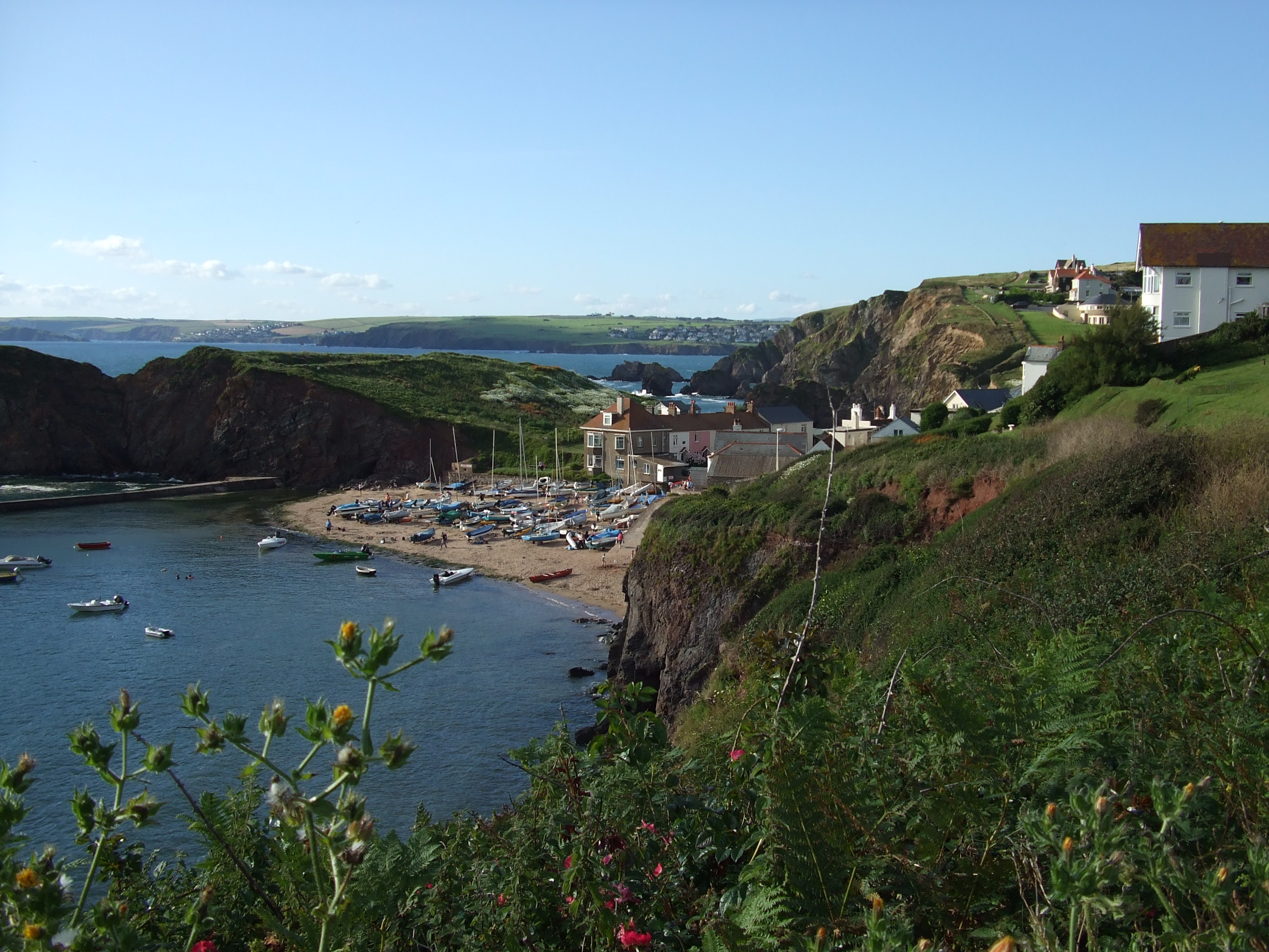
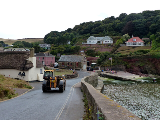
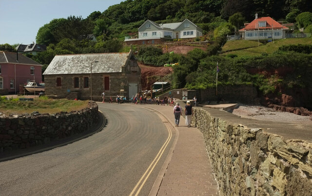
Hope Cove
Hope Cove is a small seaside village within the civil parish of South Huish in South Hams District, Devon, England. It is located 5 miles (8.0 km) west...

Hope Cove Life Boat
Hope Cove Life Boat (based in Hope Cove, Devon) was formed in 1878 and is a voluntary search and rescue service that operates an inshore rescue boat in...

SS Louis Sheid
SS Louis Sheid was a 6,057 ton Belgian steamer that ran aground off Devon after escaping U-47 following the rescue of the captain and crew of the freighter...

Bolberry Down
Bolberry Down is a clifftop area on the coast of Devon, England. The headland of Bolt Tail lies to the west and Bolt Head and the town of Salcombe to the...

Galmpton, South Hams
Galmpton is a small hamlet near Thurlestone, Devon, England. It is in the South Hams district and is five miles west of Salcombe. In 1870-72 Galmpton had...
South Milton Ley
South Milton Ley (grid reference SX685422) is a 162,000 square metres (40 acres) wetland in the South Hams, Devon, England. It was notified as a Site of...
Nearby Amenities
Located within 500m of 50.24189,-3.8695472Have you been to Bolt Tail?
Leave your review of Bolt Tail below (or comments, questions and feedback).