Holland Isle

Island in Kirkcudbrightshire

Scotland

Holland Isle

Young trees, Airds Hill Birch on the site of harvested conifers.
Young trees, Airds Hill Credit: Richard Webb

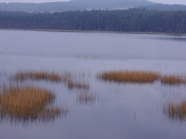
Holland Isle is a small island located off the coast of Kirkcudbrightshire, in the southwestern part of Scotland. It is situated in the Solway Firth, near the mouth of the River Dee. With an area of approximately 20 hectares, the island is predominantly flat and low-lying.

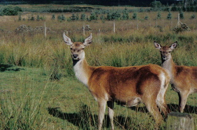
Holland Isle is known for its natural beauty and rich biodiversity. The island is covered in lush grassland, which provides a suitable habitat for a variety of bird species. It is a designated site of special scientific interest due to its importance as a breeding ground for several rare bird species, including the Arctic tern and the little tern.

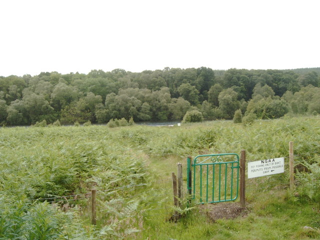
Access to Holland Isle is limited, as it can only be reached by boat during low tide. The island is privately owned and is not open to the public, except for occasional guided tours organized by local conservation groups.

In addition to its natural significance, Holland Isle also has historical importance. The remains of an ancient fort, believed to date back to the Iron Age, can be found on the island. This fort is a testament to the island's long history and the human presence in the area.

Overall, Holland Isle is a picturesque and ecologically significant island in Kirkcudbrightshire. Its combination of natural beauty, rare bird species, and historical value make it a unique and fascinating location for those interested in nature and history.

If you have any feedback on the listing, please let us know in the comments section below.
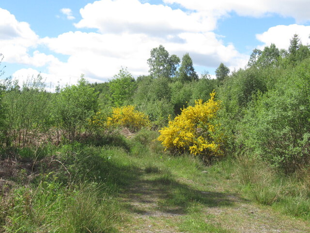
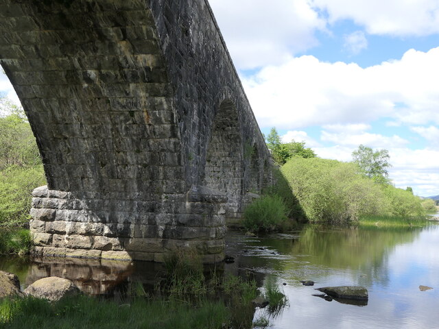
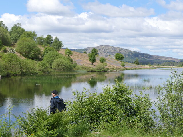
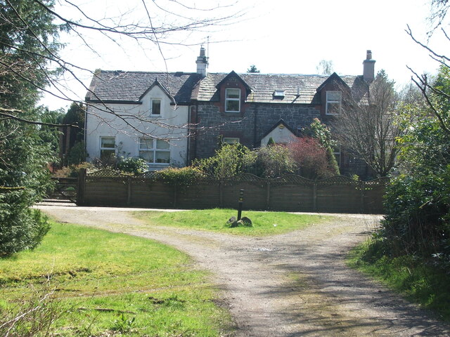
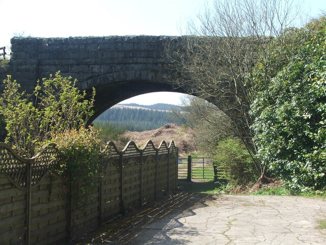
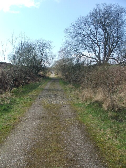
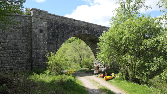
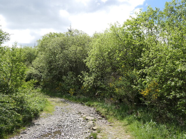
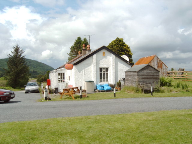
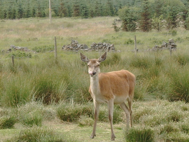
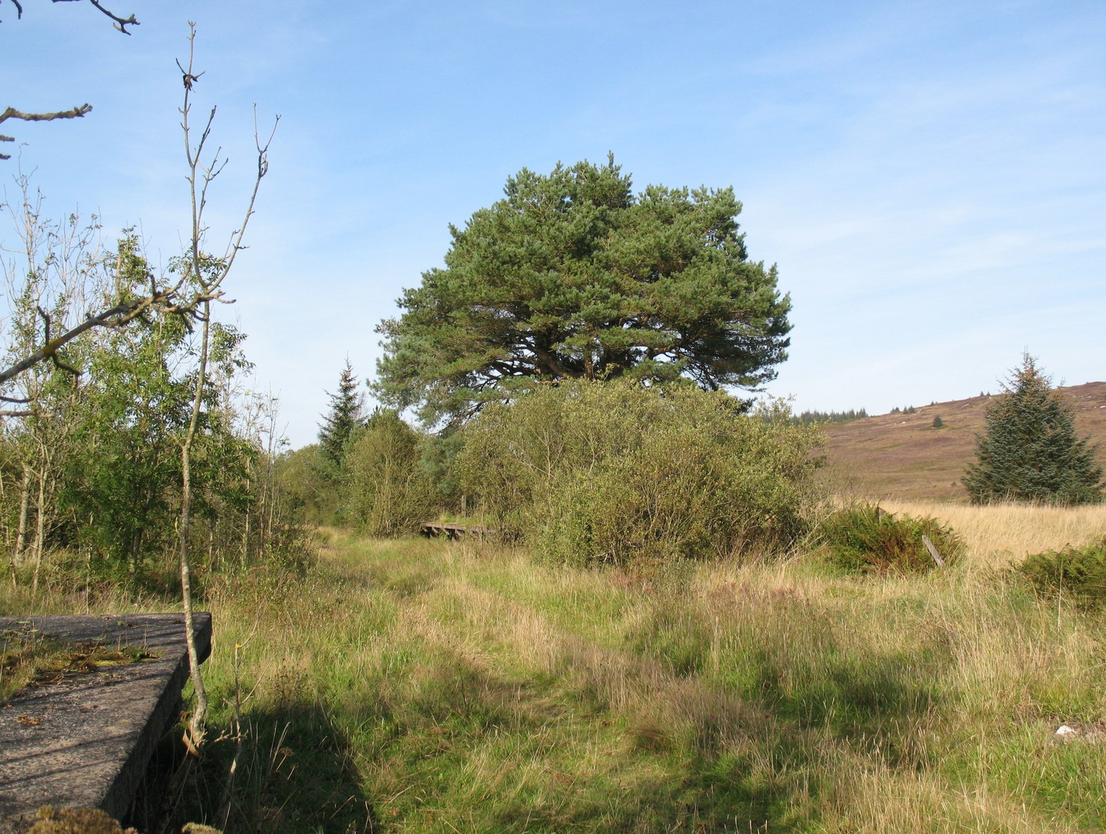
Holland Isle Images

Images are sourced within 2km of 55.003554/-4.0951104 or Grid Reference NX6669. Thanks to Geograph Open Source API. All images are credited.

Young trees, Airds Hill Birch on the site of harvested conifers.
Young trees, Airds Hill
Birch on the site of harvested conifers.
Stroan Viaduct
Stroan Viaduct
Stroan Loch Fishing from near the Forestry Commission or whatever they are called this week's car park.
Stroan Loch
Fishing from near the Forestry Commission or whatever they are called this week's car park.
Old railway Some of this building at Mossdale by the disused railway line was New Galloway Station.  New Galloway is 5 miles to the north but because of the terrain the railway line could not always go through larger settlements.   There are 4 milestones along the road from New Galloway giving the distance to the station.
Old railway
Some of this building at Mossdale by the disused railway line was New Galloway Station. New Galloway is 5 miles to the north but because of the terrain the railway line could not always go through larger settlements. There are 4 milestones along the road from New Galloway giving the distance to the station.
Old railway This bridge carries the A762 over the disused railway line at Mossdale.   The railway between Castle Douglas and Port Patrick was built in 1863.
Old railway
This bridge carries the A762 over the disused railway line at Mossdale. The railway between Castle Douglas and Port Patrick was built in 1863.
Old railway Travelling generally westwards but following the contours, the next big town reached along this dismantled Castle Douglas to Port Patrick railway would be Newton Stewart.
Old railway
Travelling generally westwards but following the contours, the next big town reached along this dismantled Castle Douglas to Port Patrick railway would be Newton Stewart.
Stroan Viaduct The Port Road by the outlet of the Stroan Loch. The kayakers are about to go fishing.
Stroan Viaduct
The Port Road by the outlet of the Stroan Loch. The kayakers are about to go fishing.
Road beside the Dee A track that has just passed under the Stroan Viaduct.
Road beside the Dee
A track that has just passed under the Stroan Viaduct.
Stroan Viaduct Stroan Viaduct and Loch Stroan.
Stroan Viaduct
Stroan Viaduct and Loch Stroan.
Memorial, Stroan Loch Memorial to a local forester
Memorial, Stroan Loch
Memorial to a local forester
Stroan Loch and Viaduct. The loch is by the Raider's Road, a Forest Drive in the Galloway Forest Park. The railway viaduct featured in Buchan's "The Thirty Nine Steps" but the railway is now long gone. The viaduct now carries a footpath.
Stroan Loch and Viaduct.
The loch is by the Raider's Road, a Forest Drive in the Galloway Forest Park. The railway viaduct featured in Buchan's "The Thirty Nine Steps" but the railway is now long gone. The viaduct now carries a footpath.
Stroan Loch. Another Scottish loch which is used by fishermen.
Stroan Loch.
Another Scottish loch which is used by fishermen.
Stroan Loch taken from Stroan Viaduct
Field with deer, Mossdale These deer were seen in a field at Mossdale, down a tiny lane to the right of the Post Office.
Field with deer, Mossdale
These deer were seen in a field at Mossdale, down a tiny lane to the right of the Post Office.
Gate entrance and gatehouse This is the main entrance to the Hensol estate.
Gate entrance and gatehouse
This is the main entrance to the Hensol estate.
Gate near Mossdale Lock
Mossdale Post Office and Store
Oh Deer in a pen in Mossdale
Oh Deer
in a pen in Mossdale
Show me another place!

Holland Isle is located at Grid Ref: NX6669 (Lat: 55.003554, Lng: -4.0951104)

Unitary Authority: Dumfries and Galloway

Police Authority: Dumfries and Galloway

What 3 Words

///newly.headboard.lunging. Near Castle Douglas, Dumfries & Galloway

Related Wikis

New Galloway railway station

New Galloway railway station served the town of New Galloway in Dumfries and Galloway, Scotland, from 1861 to 1965 on the Portpatrick and Wigtownshire...

Airds of Kells

Airds of Kells is a farm and small estate in the historical county of Kirkcudbrightshire in the parish of Kells, Dumfries and Galloway, Scotland. The...
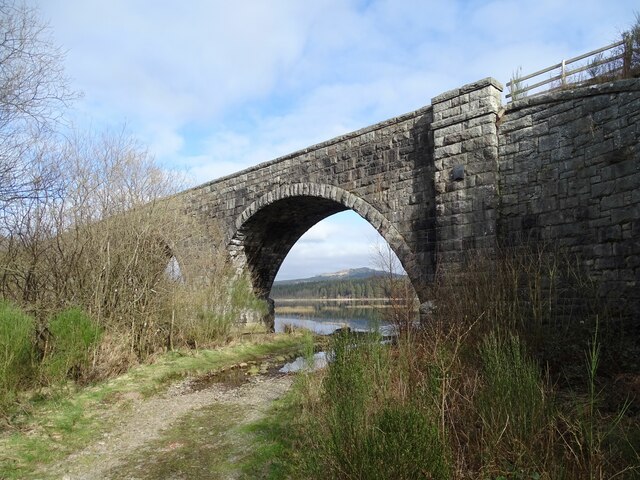
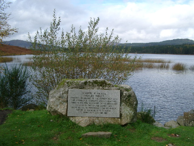
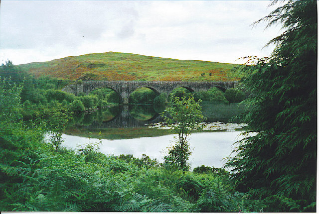
Loch Ken

Loch Ken is a 9 miles (14 km) long freshwater loch in the historic county of Kirkcudbrightshire in Dumfries and Galloway, Scotland. It lies in the Glenkens...

Parton railway station (Portpatrick and Wigtownshire Joint Railway)

Parton railway station served the hamlet of Parton, Dumfries and Galloway, Scotland, from 1861 to 1965 on the Portpatrick and Wigtownshire Joint Railway...

Parton, Dumfries and Galloway

Parton is a hamlet situated on the banks of the River Dee in the historical county of Kirkcudbrightshire, Dumfries and Galloway, Scotland. == Notable... ==

Skerrow

Skerrow was a burgh in Dumfries and Galloway, Scotland. Loch Skerrow Halt railway station, on the Portpatrick and Wigtownshire Joint Railway, served Skerrow...

Loch Skerrow Halt railway station

Loch Skerrow Halt railway station served the burgh of Skerrow, Dumfries and Galloway, Scotland on the Portpatrick and Wigtownshire Joint Railway. ��2...

Ironmacannie Mill

Ironmacannie Mill is a historic watermill near Balmaclellan in Dumfries and Galloway, Scotland. Built in the 18th and 19th centuries, on the site of an...

Nearby Amenities

Located within 500m of 55.003554,-4.0951104
Power: pole
Lat/Long: 55.0078553/-4.0937596
Power: pole
Lat/Long: 55.0072389/-4.0946646
Power: pole
Lat/Long: 55.0066017/-4.0955824
Power: pole
Lat/Long: 55.0060424/-4.0963833
Power: pole
Lat/Long: 55.005471/-4.0972098
Power: pole
Lat/Long: 55.0049045/-4.098051
Power: pole
Lat/Long: 55.0042929/-4.0989284
Power: pole
Lat/Long: 55.0036873/-4.0997825
Power: pole
Lat/Long: 55.0030683/-4.1006854
Power: pole
Lat/Long: 55.0024445/-4.101567
The data included in this document is from www.openstreetmap.org. The data is made available under ODbL.

Have you been to Holland Isle?

Leave your review of Holland Isle below (or comments, questions and feedback).