Kempthorn's Rock
Island in Cornwall
England
Kempthorn's Rock
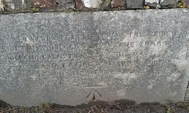
Kempthorn's Rock is a small island located off the coast of Cornwall, England. It is situated in the Celtic Sea, approximately 2 miles southwest of the village of Mousehole. The island is named after the Kempthorn family, who were the original owners of the land.
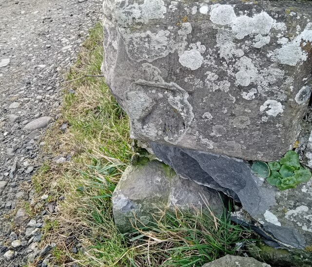
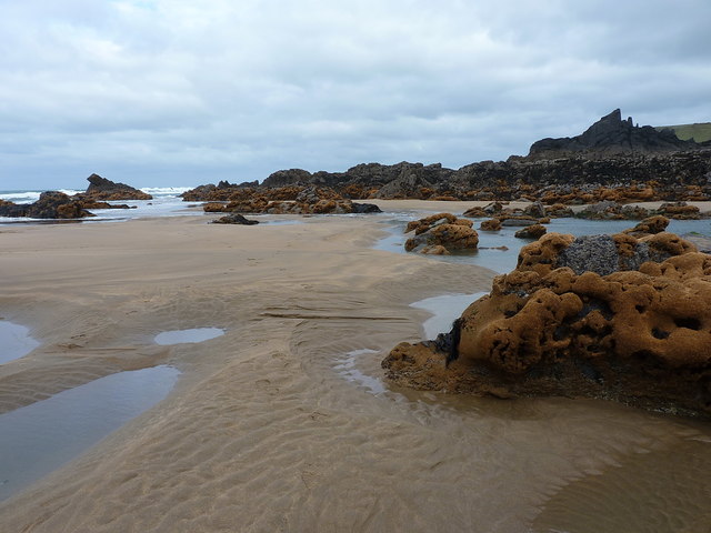
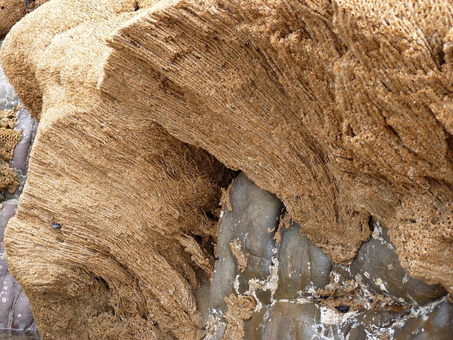
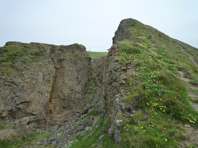
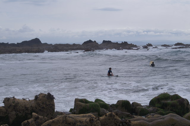
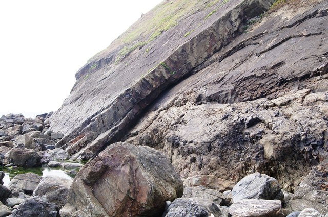
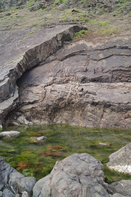
Measuring only about 200 meters in length and 100 meters in width, Kempthorn's Rock is known for its rugged and rocky terrain. The island is predominantly composed of granite, which gives it a distinctive appearance. It is surrounded by steep cliffs, making it inaccessible to most visitors.
Due to its remote location and limited access, Kempthorn's Rock remains largely uninhabited. However, it is a popular spot for birdwatching enthusiasts, as it provides a sanctuary for various seabird species. The island's cliffs and rocky outcrops serve as nesting sites for species such as gulls, cormorants, and puffins.
The island is also known for its rich marine life. The surrounding waters are teeming with a diverse range of fish, making it an attractive destination for anglers. Additionally, Kempthorn's Rock is a popular spot for scuba diving, as the clear waters offer great visibility and the chance to explore underwater caves and rock formations.
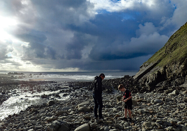
Visitors to Kempthorn's Rock must be cautious, as the island can only be accessed by boat during low tide. It is important to check the tidal timetable before planning a visit.
If you have any feedback on the listing, please let us know in the comments section below.
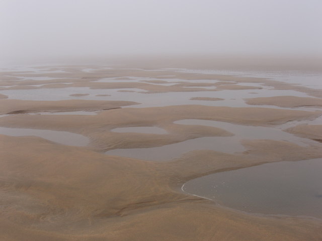
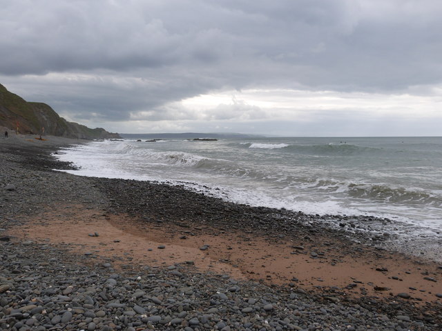
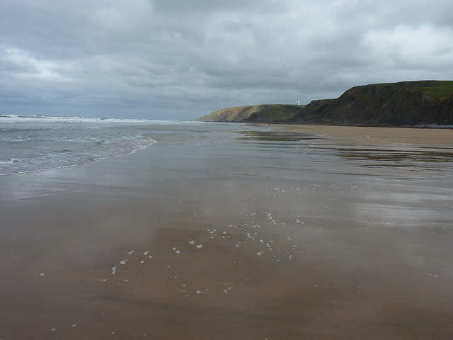
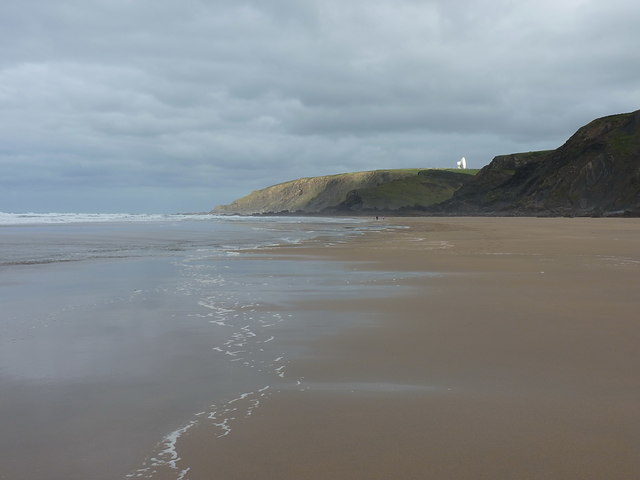
Kempthorn's Rock Images
Images are sourced within 2km of 50.878426/-4.5636406 or Grid Reference SS1911. Thanks to Geograph Open Source API. All images are credited.


Kempthorn's Rock is located at Grid Ref: SS1911 (Lat: 50.878426, Lng: -4.5636406)
Unitary Authority: Cornwall
Police Authority: Devon and Cornwall
What 3 Words
///cools.preheated.puddles. Near Flexbury, Cornwall
Nearby Locations
Related Wikis

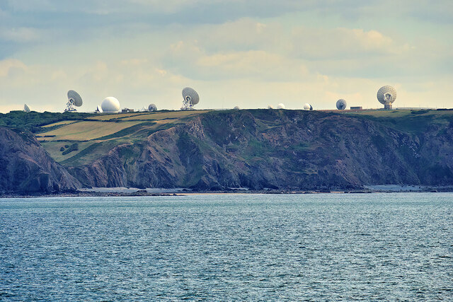
GCHQ Bude
GCHQ Bude, also known as GCHQ Composite Signals Organisation Station Morwenstow, abbreviated to GCHQ CSO Morwenstow, is a UK Government satellite ground...
Coombe, Morwenstow
Coombe (Cornish: Komm) is a hamlet in northeast Cornwall, England, United Kingdom.Combe is situated in the civil parish of Morwenstow three miles (5 km...

RAF Cleave
RAF Cleave is a former Royal Air Force station located 4.2 miles (7 kilometres) north of Bude in Cornwall, United Kingdom, which was operational from 1939...

Woodford, Cornwall
Woodford is a hamlet in northeast Cornwall, England, United Kingdom. It is located southeast of Morwenstow, northwest of Kilkhampton and north of Flexbury...

Stowe, Kilkhampton
Stowe House in the parish of Kilkhampton in Cornwall, England, UK, was a mansion built in 1679 by John Grenville, 1st Earl of Bath (1628–1701) and demolished...

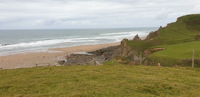
Sandymouth Beach
Sandymouth is a beach three miles north of Bude in Cornwall, England, United Kingdom. == Topography == The area is formed from cliffs and rock formations...

Duckpool to Furzey Cove
Duckpool to Furzey Cove is a coastal Geological Conservation Review site and Site of Special Scientific Interest (SSSI) in north Cornwall, England, UK...
Caledonia (1839 brig)
The Caledonia was a brig of some 200 tons (bm), built in Arbroath, Scotland, and wrecked on 7 September 1843 on Sharpnose Point, near Morwenstow, Cornwall...
Nearby Amenities
Located within 500m of 50.878426,-4.5636406Have you been to Kempthorn's Rock?
Leave your review of Kempthorn's Rock below (or comments, questions and feedback).