Eilean a' Mhadaidh
Island in Sutherland
Scotland
Eilean a' Mhadaidh
The requested URL returned error: 429 Too Many Requests
If you have any feedback on the listing, please let us know in the comments section below.
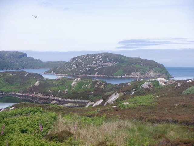
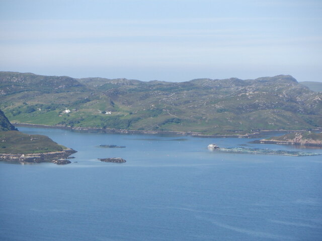
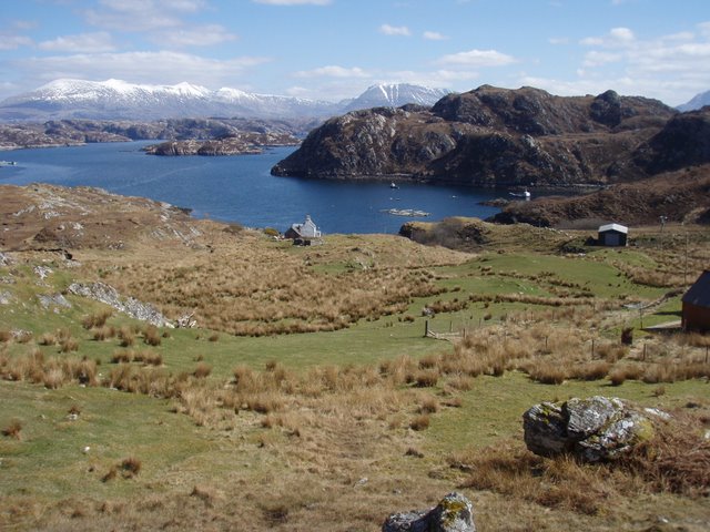
Eilean a' Mhadaidh Images
Images are sourced within 2km of 58.397944/-5.0866601 or Grid Reference NC1949. Thanks to Geograph Open Source API. All images are credited.


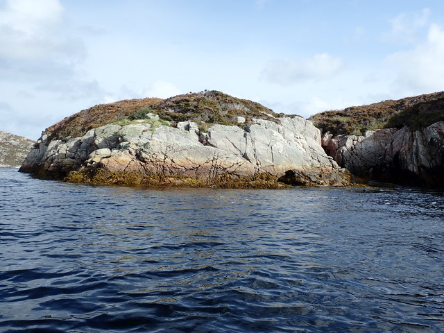

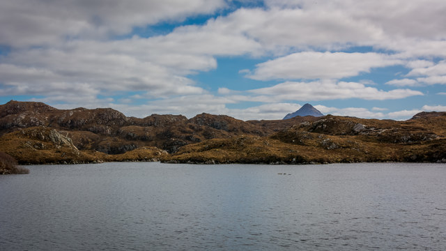


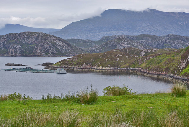


Eilean a' Mhadaidh is located at Grid Ref: NC1949 (Lat: 58.397944, Lng: -5.0866601)
Unitary Authority: Highland
Police Authority: Highlands and Islands
What 3 Words
///rather.various.clouding. Near Oldshoremore, Highland
Related Wikis

Foindle
Foindle (Scottish Gaelic: An Fhionndail) is a village on the south shore of Loch Laxford in Lairg, Sutherland, Scottish Highlands and is in the Scottish...
Fanagmore
Fanagmore (Scottish Gaelic: An Fheannag Mhòr) is a hamlet in Sutherland, Highland, in far northwestern Scotland. It lies on the south shore of Loch Laxford...

Tarbet, Sutherland
Tarbet (Scottish Gaelic, An Tairbeart) is a hamlet in Sutherland, on the west coast of Scotland. It is the nearest port of contact to the Scottish Wildlife...

Laxford
Laxford is a remote area in the far Northwest Highlands of Scotland around the River Laxford which runs northwest from Loch Stack to Laxford Bay. This...
Nearby Amenities
Located within 500m of 58.397944,-5.0866601Have you been to Eilean a' Mhadaidh?
Leave your review of Eilean a' Mhadaidh below (or comments, questions and feedback).