Northern Door
Island in Cornwall
England
Northern Door
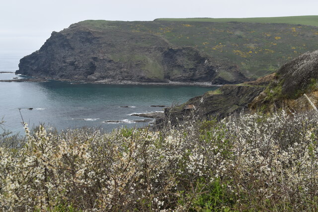
Northern Door is a small island located off the coast of Cornwall, in the southwestern part of England. Situated in the Celtic Sea, this picturesque island is known for its stunning natural beauty, rich history, and vibrant local community.
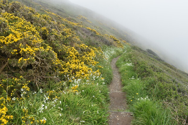
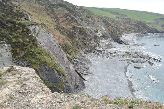
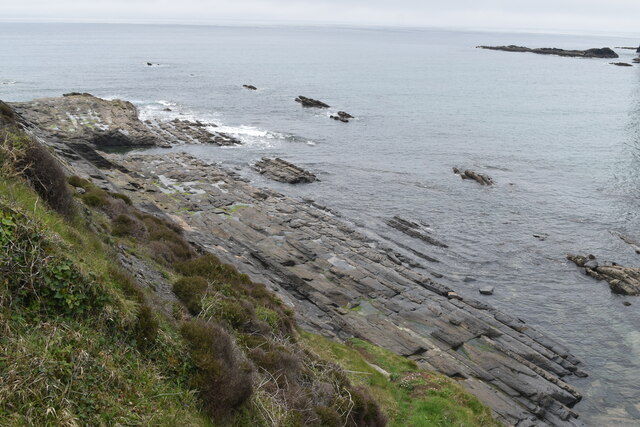
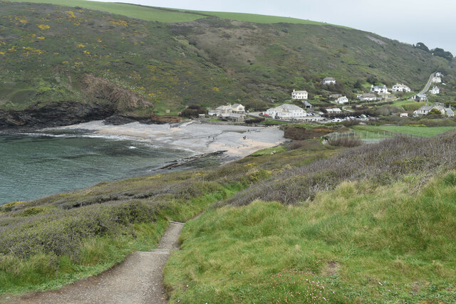
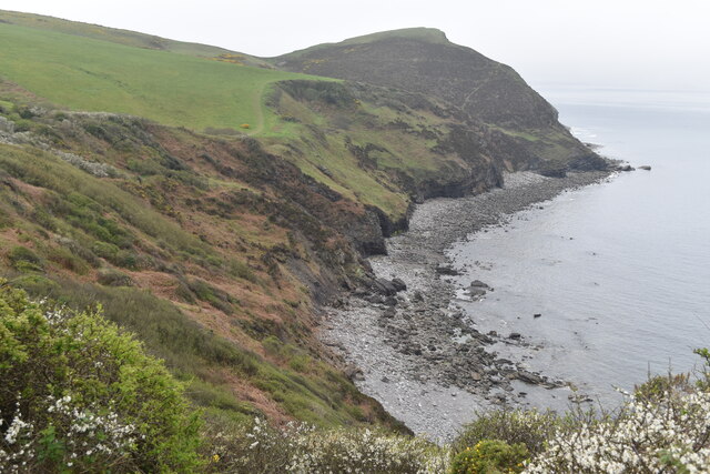
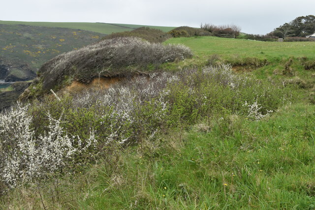
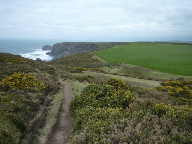
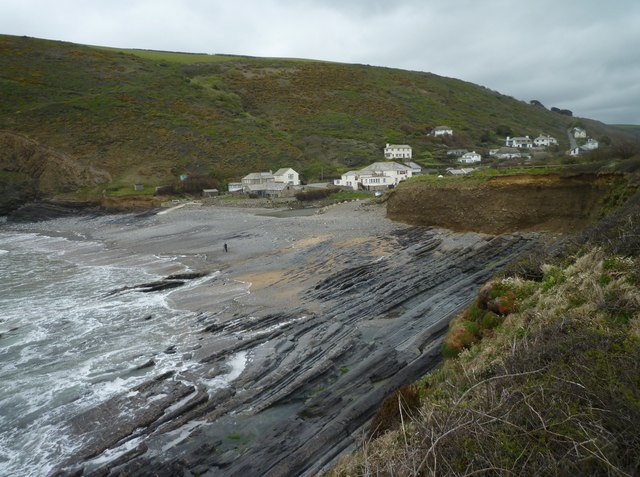
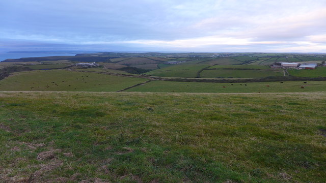
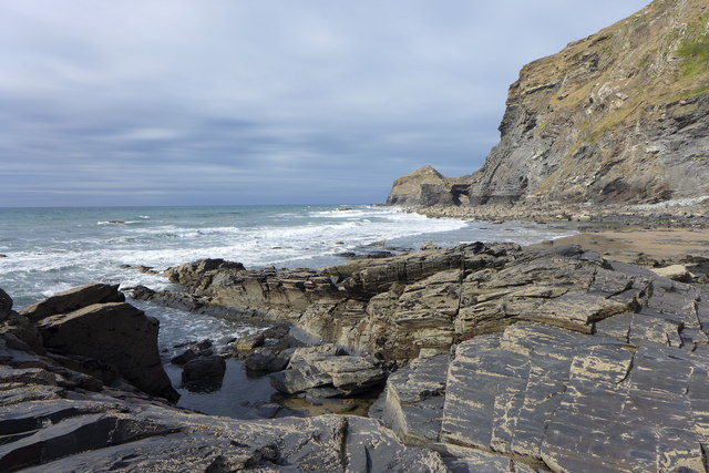
Covering an area of approximately 2 square miles, Northern Door boasts a diverse landscape that includes rocky cliffs, pristine sandy beaches, and lush green hills. The island is a haven for nature enthusiasts, offering a range of outdoor activities such as hiking, birdwatching, and fishing. Visitors can explore the island's numerous walking trails, which showcase its unique flora and fauna.
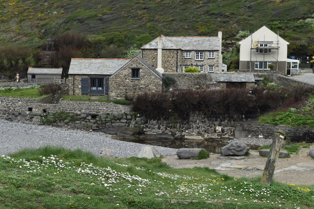
Steeped in history, Northern Door is home to several ancient landmarks and archaeological sites. The most prominent is the remains of an Iron Age fort, situated atop a hill, which offers breathtaking views of the surrounding coastline. Additionally, the island features a 12th-century church and a small museum, providing insights into its past.
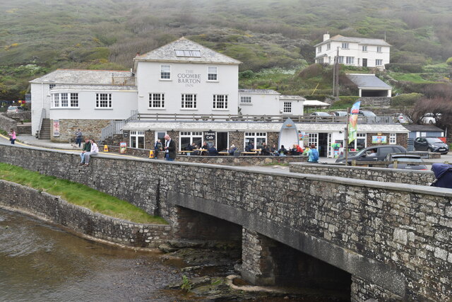
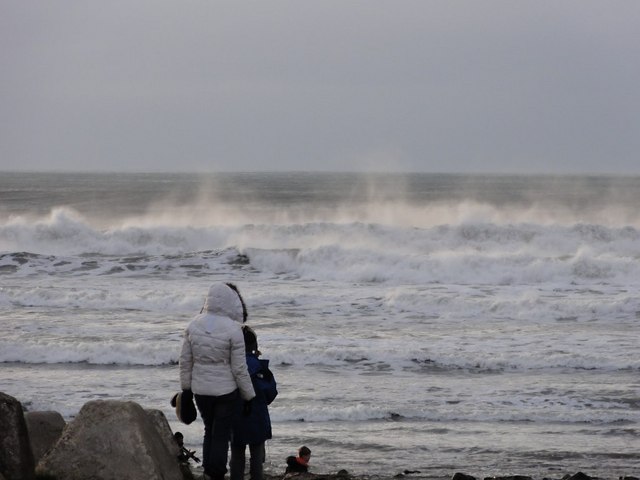
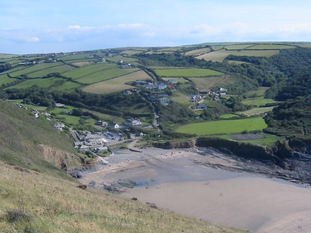
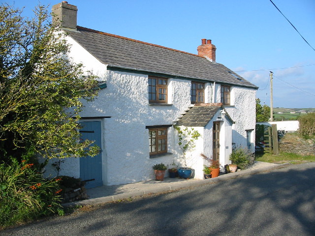
The local community of Northern Door is known for its warmth and hospitality. The island is home to a close-knit population, with a small number of residents who primarily rely on fishing and agriculture for their livelihoods. Visitors can experience the island's friendly atmosphere by staying in cozy bed and breakfast accommodations or enjoying a meal at one of the charming local restaurants.
Access to Northern Door is primarily by ferry, with regular services running from the mainland. The island offers a tranquil escape from the hustle and bustle of city life, making it an ideal destination for those seeking relaxation and a connection with nature.
If you have any feedback on the listing, please let us know in the comments section below.
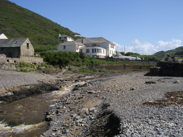
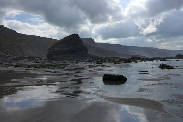
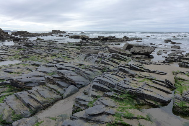
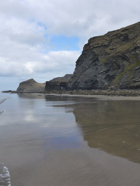
Northern Door Images
Images are sourced within 2km of 50.734283/-4.6516378 or Grid Reference SX1296. Thanks to Geograph Open Source API. All images are credited.
Northern Door is located at Grid Ref: SX1296 (Lat: 50.734283, Lng: -4.6516378)
Unitary Authority: Cornwall
Police Authority: Devon and Cornwall
What 3 Words
///intend.clinked.brotherly. Near Jacobstow, Cornwall
Nearby Locations
Related Wikis
Crackington Haven
Crackington Haven (Cornish: Porthkragen, meaning "sandstone cove") is a coastal village in Cornwall, England, United Kingdom. It is in the civil parish...

Pengold
Pengold is a hamlet near St Gennys in Cornwall, England, UK. Pengold is southwest of Higher Crackington. == References ==
St Gennys
St Gennys (Standard Written Form: S. Gwynnas) is a coastal civil parish and small settlement in north Cornwall, England, United Kingdom. The village of...
Sweets, Cornwall
Sweets is a hamlet between Middle Crackington and Higher Crackington in north Cornwall, England, United Kingdom. == References ==
Related Videos

Crackington and St Gennys headland walk
late April 2021 on a calm warm sunny day.

VLOG 36 - Full week in Boscastle, Crackington Haven coastal hike, friendly lambs & angry bulls
Subscribe & Turn on Notifications for more! ❤ Camera that I filmed this video on - https://bit.ly/38bv2xP ❤ WHERE ELSE TO FIND ...
Crackington Haven Bude Cornwall
Music called "Wavelength" written by Stu Hannaford Saltash Cornwall UK copyright.
South West Coast Path Cornwall - Pt5 - Widemouth Bay to Crackington Haven
South West Coast Path Cornwall - Pt5 - Widemouth Bay to Crackington Haven Welcome to the fifth and hardest part of the coast ...
Nearby Amenities
Located within 500m of 50.734283,-4.6516378Have you been to Northern Door?
Leave your review of Northern Door below (or comments, questions and feedback).