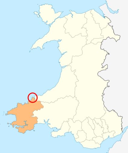
Craig yr Odyn
Island in Pembrokeshire
Wales
Craig yr Odyn

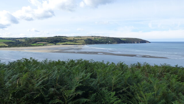
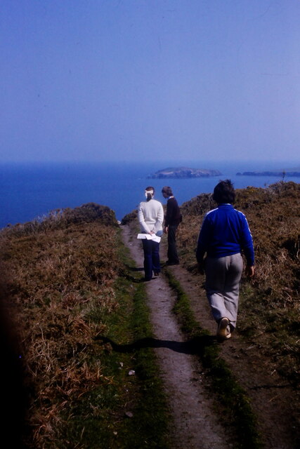
Craig yr Odyn is a small island located off the coast of Pembrokeshire, Wales. It is situated in the Celtic Sea, approximately 2 kilometers from the mainland. The island is accessible by boat, and is a popular destination for tourists and nature enthusiasts.
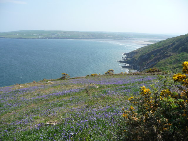
Measuring around 1.5 hectares, Craig yr Odyn is characterized by its rugged and rocky terrain. The island is home to a variety of seabirds, including guillemots, razorbills, and kittiwakes, making it a haven for birdwatchers. The surrounding waters are rich in marine life, attracting snorkelers and divers who are eager to explore the vibrant underwater ecosystem.
The island's name translates to "rock of the otter" in Welsh, hinting at the presence of otters in the area. Visitors may be lucky enough to spot these elusive creatures in their natural habitat.
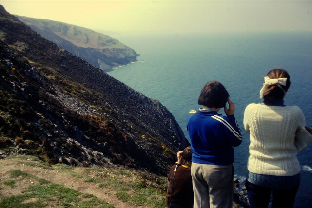
Craig yr Odyn also boasts stunning panoramic views of the Pembrokeshire coastline and the nearby islands. On a clear day, one can see as far as Ramsey Island and the Preseli Hills. The island's exposed position often results in strong winds, so visitors are advised to dress appropriately.
Despite its small size, Craig yr Odyn has a rich history. It is believed to have been inhabited during the Neolithic period, and evidence of ancient settlements can still be found. Today, the island is protected as a Site of Special Scientific Interest (SSSI), ensuring its preservation for future generations to enjoy.
If you have any feedback on the listing, please let us know in the comments section below.
Craig yr Odyn Images
Images are sourced within 2km of 52.115654/-4.7335512 or Grid Reference SN1249. Thanks to Geograph Open Source API. All images are credited.


Craig yr Odyn is located at Grid Ref: SN1249 (Lat: 52.115654, Lng: -4.7335512)
Unitary Authority: Pembrokeshire
Police Authority: Dyfed Powys
What 3 Words
///flashback.everyone.transfers. Near Cardigan, Ceredigion
Nearby Locations
Related Wikis
Cemaes Head
Cemaes Head (formerly Cemais, and historically anglicised as Cemmaes, Kemmaes or Kemmes) (Welsh: Pen Cemaes or Trwyn Cemaes) is a headland and nature reserve...
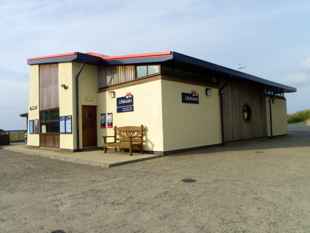
Cardigan Lifeboat Station
Cardigan Lifeboat Station, at Poppit Sands, North Pembrokeshire, near Cardigan, Ceredigion, Wales, is a Royal National Lifeboat Institution (RNLI) lifeboat...
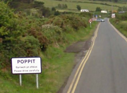
Poppit Sands
Poppit (Welsh: Poppit) is a small, dispersed settlement which lies on the southern side of the estuary of the River Teifi, near Cardigan, in northern Pembrokeshire...

Gwbert
Gwbert (Welsh pronunciation: [ˈɡubɛrt]), also known as Gwbert-on-Sea, is a cliff-top coastal village in Y Ferwig community, Ceredigion, Wales. It lies...
Nearby Amenities
Located within 500m of 52.115654,-4.7335512Have you been to Craig yr Odyn?
Leave your review of Craig yr Odyn below (or comments, questions and feedback).