Pwll Tro
Sea, Estuary, Creek in Pembrokeshire
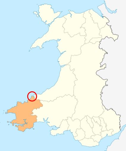
Wales
Pwll Tro

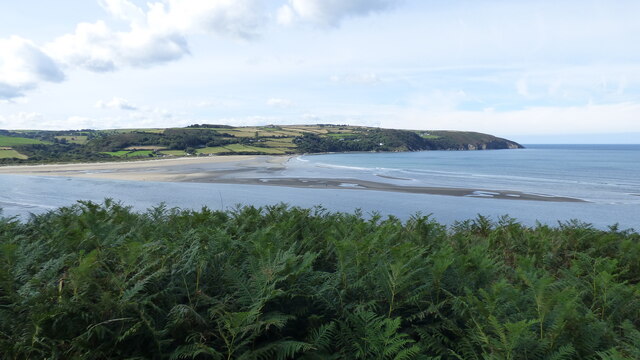
Pwll Tro is a picturesque coastal feature located in Pembrokeshire, Wales. It is a small sea, estuary, and creek formation that offers visitors a stunning natural landscape to explore.
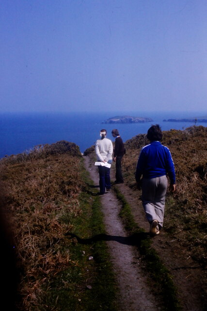
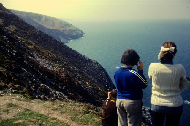
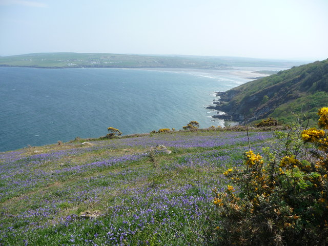
Situated along the western coast of Wales, Pwll Tro is known for its rugged cliffs, golden sandy beaches, and crystal-clear waters. The area is a popular destination for outdoor enthusiasts and nature lovers as it offers various activities such as swimming, fishing, boating, and hiking.
The sea at Pwll Tro showcases a diverse marine ecosystem, with a rich variety of fish, crustaceans, and other marine life. The estuary, formed by the convergence of a river with the sea, provides a unique habitat for numerous bird species, including herons, oystercatchers, and curlews. Visitors can observe these birds as they feed along the muddy banks during low tide.
The creek at Pwll Tro is a tranquil and sheltered waterway, perfect for kayaking and paddleboarding. Surrounded by lush vegetation and towering cliffs, it offers a peaceful retreat where visitors can enjoy the serenity of the natural surroundings.
Pwll Tro is also home to a small fishing community, adding to the area's charm and authenticity. Visitors can experience the traditional fishing practices and sample freshly caught seafood at the local restaurants and cafes.
Overall, Pwll Tro in Pembrokeshire is a must-visit destination for those seeking a tranquil coastal escape, abundant wildlife, and breathtaking natural beauty.
If you have any feedback on the listing, please let us know in the comments section below.
Pwll Tro Images
Images are sourced within 2km of 52.108242/-4.7386476 or Grid Reference SN1249. Thanks to Geograph Open Source API. All images are credited.


Pwll Tro is located at Grid Ref: SN1249 (Lat: 52.108242, Lng: -4.7386476)
Unitary Authority: Pembrokeshire
Police Authority: Dyfed Powys
What 3 Words
///surprises.regularly.intervene. Near Cardigan, Ceredigion
Nearby Locations
Related Wikis
Cemaes Head
Cemaes Head (formerly Cemais, and historically anglicised as Cemmaes, Kemmaes or Kemmes) (Welsh: Pen Cemaes or Trwyn Cemaes) is a headland and nature reserve...
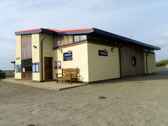
Cardigan Lifeboat Station
Cardigan Lifeboat Station, at Poppit Sands, North Pembrokeshire, near Cardigan, Ceredigion, Wales, is a Royal National Lifeboat Institution (RNLI) lifeboat...
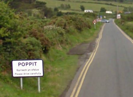
Poppit Sands
Poppit (Welsh: Poppit) is a small, dispersed settlement which lies on the southern side of the estuary of the River Teifi, near Cardigan, in northern Pembrokeshire...

River Teifi
The River Teifi (English: ; Welsh: Afon Teifi, pronounced [ˈavɔn ˈtei̯vi]) in Wales forms the boundary for most of its length between the counties of Ceredigion...
Have you been to Pwll Tro?
Leave your review of Pwll Tro below (or comments, questions and feedback).