Samphire Rock
Island in Cornwall
England
Samphire Rock
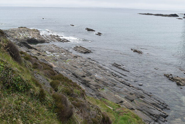
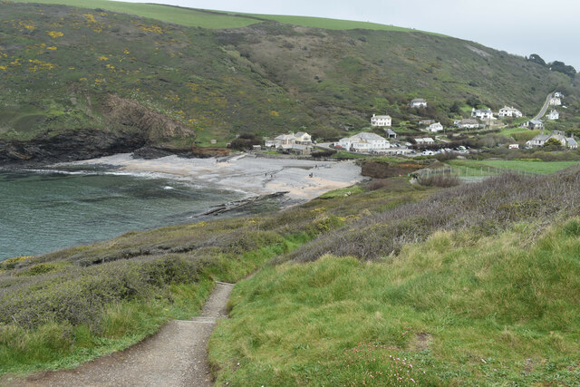
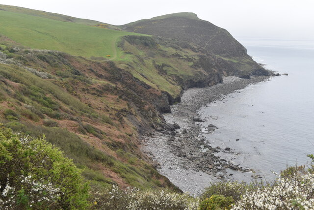
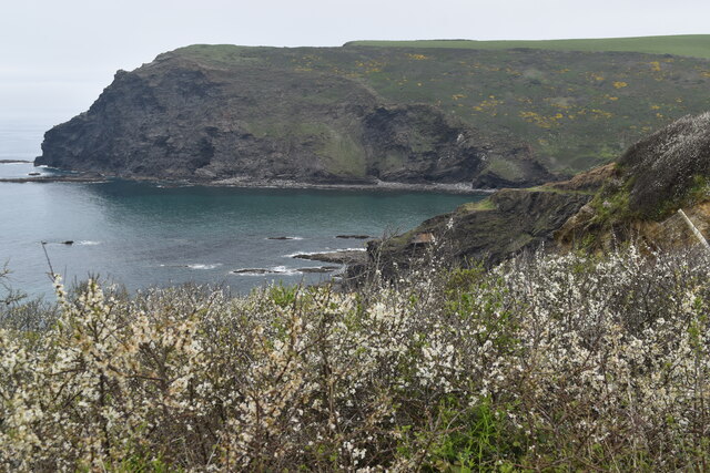
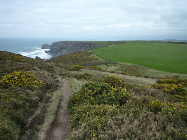
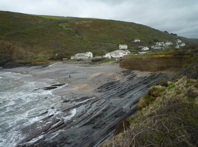
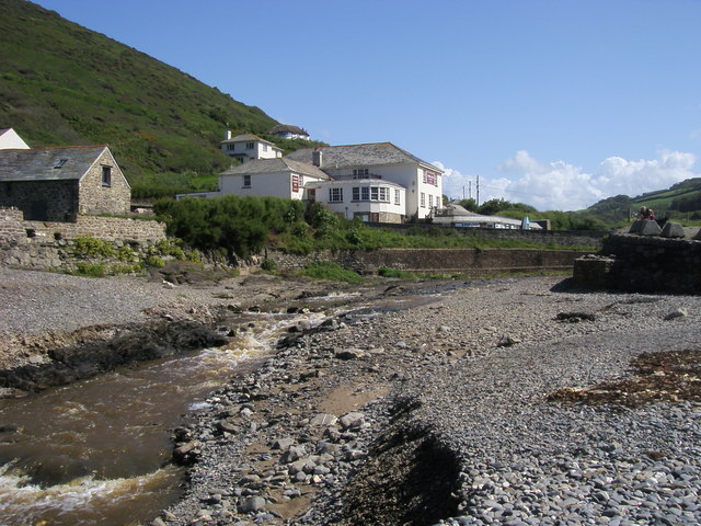
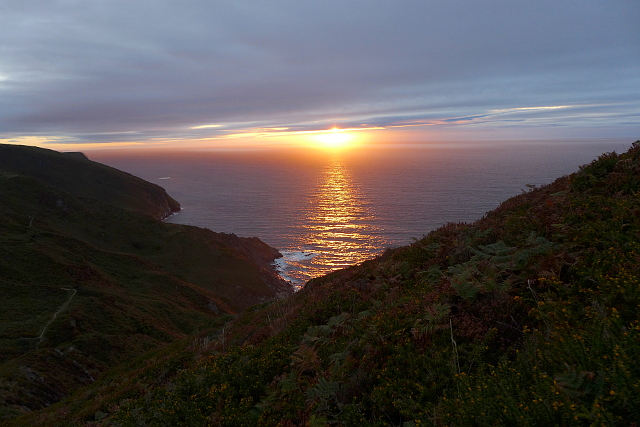
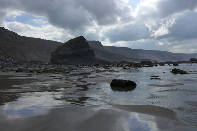
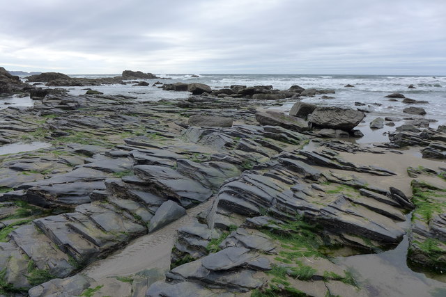
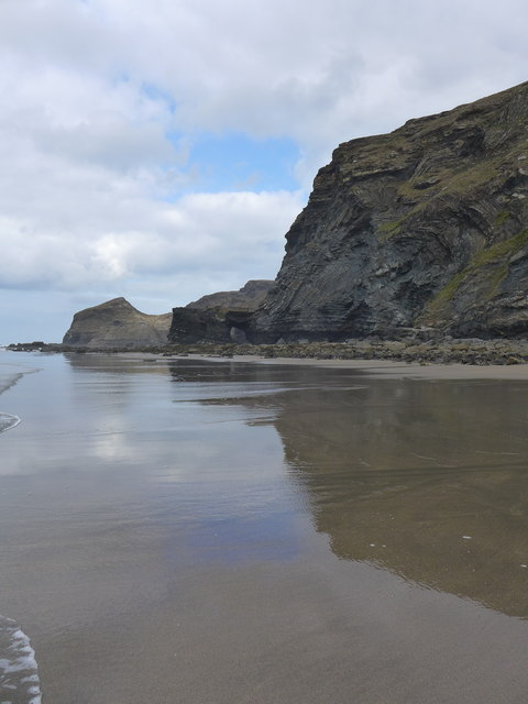
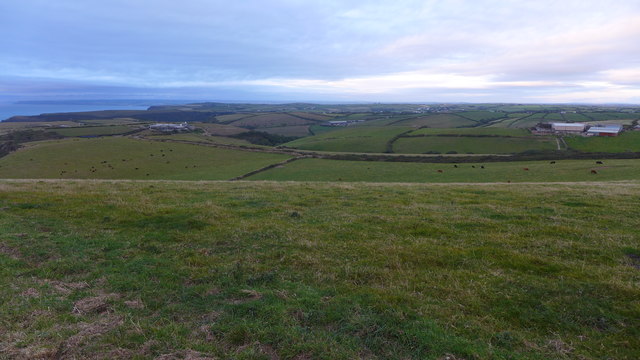
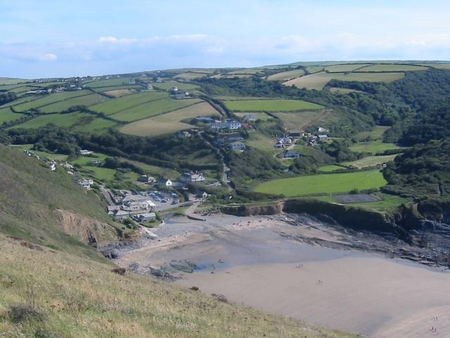
Samphire Rock, located off the coast of Cornwall, is a small island that has captured the interest and imagination of locals and tourists alike. Situated in the Celtic Sea, this rocky outcrop is known for its unique geological formations and vibrant wildlife.
The island itself is relatively small, measuring around 2.5 acres in size. It is accessible by boat, making it a popular destination for day trips and exploration. Samphire Rock is surrounded by crystal-clear waters, which provide an ideal habitat for a diverse range of marine life. Visitors can often spot seals, dolphins, and various species of seabirds in the surrounding waters.
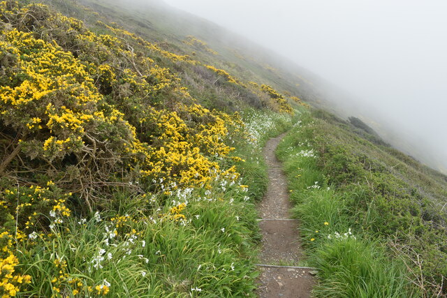
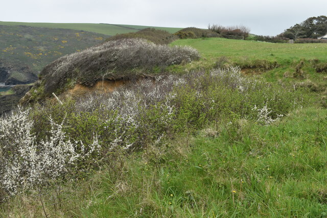
The island gets its name from the abundant samphire plants that grow along its rocky cliffs. Samphire, also known as sea asparagus, is a type of succulent that is commonly found in coastal regions. The plant is highly sought after for its unique flavor and is often used in gourmet cuisine.
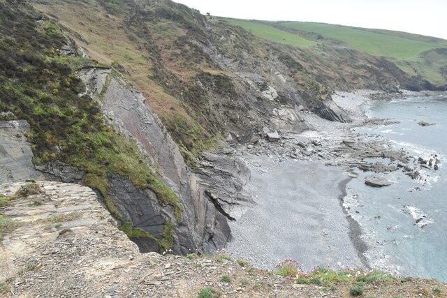
The geology of Samphire Rock is truly fascinating. The island is composed primarily of granite, which gives it a rugged and dramatic appearance. Over the years, the relentless crashing waves have sculpted the granite into intriguing shapes, creating caves, arches, and stacks that are a delight to explore.
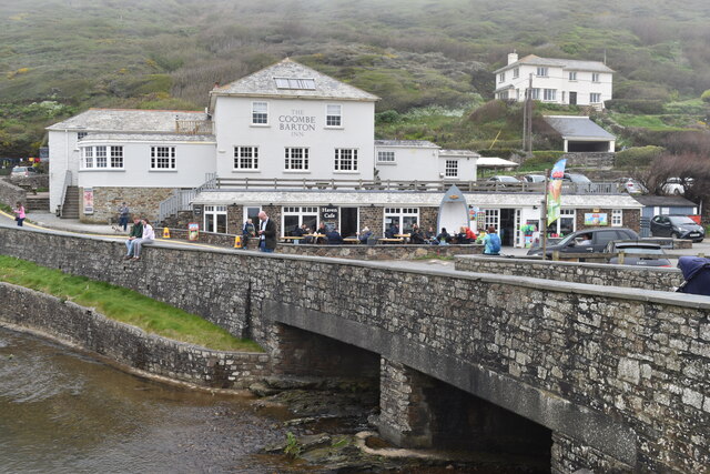
Visitors to Samphire Rock can enjoy breathtaking views of the surrounding coastline and the open sea. The island is also a popular spot for fishing, snorkeling, and diving, thanks to its clear waters and abundance of marine life.
Overall, Samphire Rock is a hidden gem in Cornwall that offers a unique and unforgettable experience for nature lovers and adventure seekers alike.
If you have any feedback on the listing, please let us know in the comments section below.
Samphire Rock Images
Images are sourced within 2km of 50.730414/-4.65132 or Grid Reference SX1295. Thanks to Geograph Open Source API. All images are credited.
Samphire Rock is located at Grid Ref: SX1295 (Lat: 50.730414, Lng: -4.65132)
Unitary Authority: Cornwall
Police Authority: Devon and Cornwall
What 3 Words
///thorax.waistcoat.putty. Near Jacobstow, Cornwall
Nearby Locations
Related Wikis

Pengold
Pengold is a hamlet near St Gennys in Cornwall, England, UK. Pengold is southwest of Higher Crackington. == References ==
Crackington Haven
Crackington Haven (Cornish: Porthkragen, meaning "sandstone cove") is a coastal village in Cornwall, England, United Kingdom. It is in the civil parish...
Sweets, Cornwall
Sweets is a hamlet between Middle Crackington and Higher Crackington in north Cornwall, England, United Kingdom. == References ==

Mineshope
Mineshope is a hamlet in the parish of St Gennys, Cornwall, England. == References ==
Nearby Amenities
Located within 500m of 50.730414,-4.65132Have you been to Samphire Rock?
Leave your review of Samphire Rock below (or comments, questions and feedback).