Barton Turn
Settlement in Staffordshire East Staffordshire
England
Barton Turn

Barton Turn is a small village located in Staffordshire, England. Situated on the Trent and Mersey Canal, it is situated approximately 7 miles southwest of Burton upon Trent and 9 miles northeast of Tamworth. The village falls within the district of East Staffordshire.
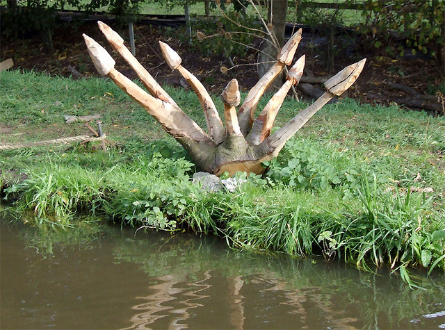
Barton Turn is known for its picturesque surroundings, with the canal providing a tranquil setting for residents and visitors alike. The village is renowned for its boating and fishing opportunities, attracting enthusiasts from near and far. The canal also offers a pleasant pathway for leisurely walks, with benches along the route for people to pause and enjoy the scenic views.
The village itself is home to a tight-knit community, with a small number of local amenities serving the residents. These include a village hall, a pub, and a handful of local businesses. The village hall hosts various community events throughout the year, fostering a sense of togetherness among the inhabitants.
Barton Turn benefits from its proximity to Burton upon Trent, a larger town that provides more extensive amenities such as supermarkets, schools, and healthcare facilities. The village offers a peaceful and rural lifestyle, while still offering convenient access to nearby urban centers.
In conclusion, Barton Turn is a charming village in Staffordshire, known for its idyllic location on the Trent and Mersey Canal. With its strong sense of community and beautiful surroundings, it provides a serene and welcoming environment for its residents and visitors.
If you have any feedback on the listing, please let us know in the comments section below.
Barton Turn Images
Images are sourced within 2km of 52.762848/-1.70153 or Grid Reference SK2018. Thanks to Geograph Open Source API. All images are credited.


Barton Turn is located at Grid Ref: SK2018 (Lat: 52.762848, Lng: -1.70153)
Administrative County: Staffordshire
District: East Staffordshire
Police Authority: Staffordshire
What 3 Words
///fishery.handsets.fuels. Near Barton under Needwood, Staffordshire
Nearby Locations
Related Wikis
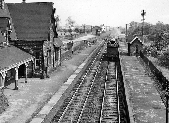
Barton and Walton railway station
Barton and Walton railway station opened in 1839 by the Birmingham and Derby Junction Railway on its original route from Derby to Hampton-in-Arden meeting...

Central Rivers TMD
Central Rivers TMD (also known as Barton-under-Needwood CMD) is a railway maintenance depot, located in Barton-under-Needwood, 4 miles (6 km) south-west...
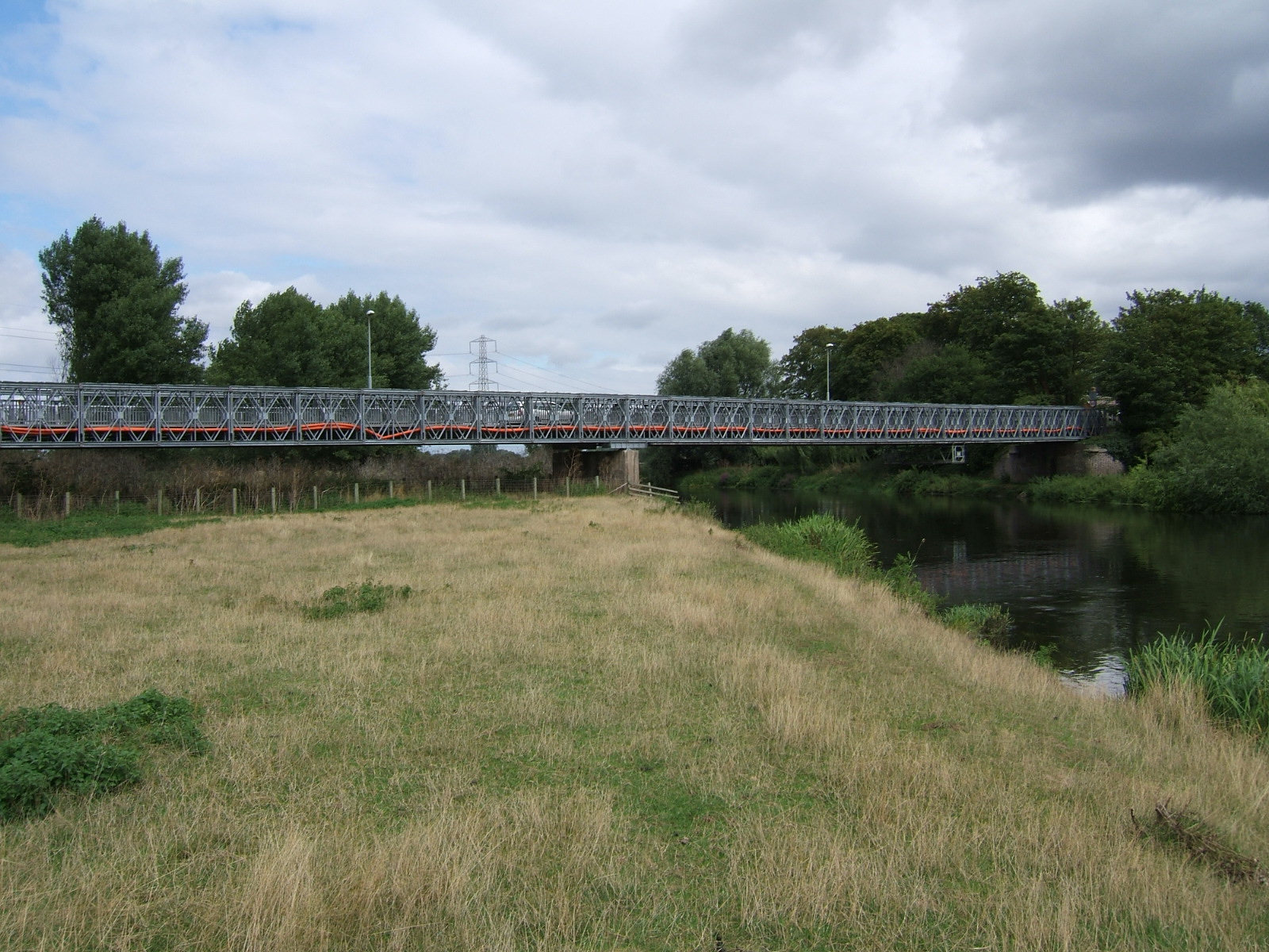
Bailey Bridge (Walton on Trent)
The Bailey Bridge (also known as Walton Bridge) is a crossing of the River Trent at Walton-on-Trent on the border of Derbyshire and Staffordshire in England...

John Taylor High School
John Taylor High School is a specialist science and leadership academy located in the East Staffordshire village of Barton-under-Needwood, near Burton...
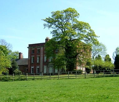
Walton Hall, Walton-on-Trent
Walton Hall is an 18th-century country house situated in the village of Walton on Trent, Derbyshire. It is a Grade II* listed building but is in slow decay...

St Lawrence's Church, Walton-on-Trent
St Lawrence's Church, Walton-on-Trent is a Grade II* listed parish church in the Church of England in Walton-on-Trent, Derbyshire. == History == The church...
Barton Turn
Barton Turn is a village in Staffordshire, England. For population details taken at the 2011 Census see Barton-under-Needwood. == See also == Listed buildings...
Walton-on-Trent
Walton-on-Trent is a village within the civil parish of Walton-upon-Trent, in the National Forest in the South Derbyshire district in Derbyshire, England...
Related Videos

Barton marina visit
We travelled to Barton Marina which is a genuinely nice area in the village Barton-under-Needwood, in Staffordshire, in the heart ...

Barton marina hidden gem 🚤❤️
Great little marina relaxed atmosphere Good amenities. All you need for a relaxing morning or afternoon out # Bartonmarina ...

National Forest Way Escapades: The Adventure Continues
For lovers of English forests and woodlands, the the National Forest Way is a must to experience. It's a long distance path first ...

Nearby Amenities
Located within 500m of 52.762848,-1.70153Have you been to Barton Turn?
Leave your review of Barton Turn below (or comments, questions and feedback).