Creag an Sgairbh

Island in Ross-shire

Scotland

Creag an Sgairbh

Trigpoint, Meall na h-Airde Looking north-east towards Gairloch
Trigpoint, Meall na h-Airde Credit: Becky Williamson

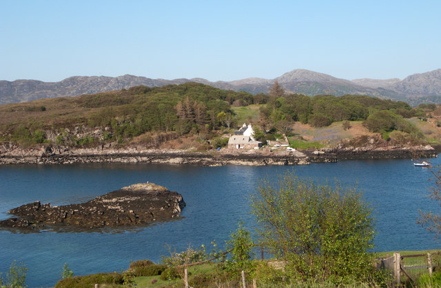
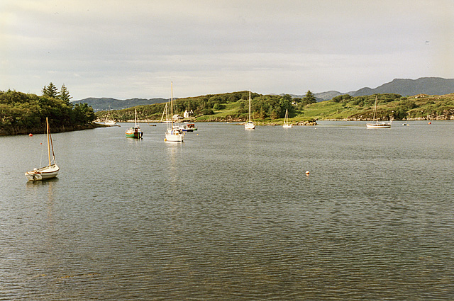
Creag an Sgairbh is a small island located in Ross-shire, Scotland. With an area of approximately 1.5 hectares, it is nestled in the scenic Loch Broom, near the village of Ullapool. The island is known for its rugged and rocky terrain, boasting impressive cliffs and a distinctive peak that gives it its name, which translates to "Rock of the Cormorant" in Gaelic.

The island is uninhabited and is primarily used as a nature reserve, providing a sanctuary for a variety of wildlife. The surrounding waters are teeming with marine life, making it a popular spot for birdwatching and fishing enthusiasts. The island is particularly known for its large population of seabirds, including cormorants, puffins, and guillemots.

Access to Creag an Sgairbh is limited, as it can only be reached by boat. However, the island's unique geological features and picturesque views make it a popular destination for tourists and nature lovers. Visitors can enjoy hiking along the island's rugged trails, exploring its caves and rock formations, and taking in the breathtaking vistas of the surrounding Loch Broom.

Creag an Sgairbh offers a peaceful and unspoiled natural environment, allowing visitors to immerse themselves in the tranquility of the Scottish Highlands. Its remote location and untouched beauty make it a hidden gem in Ross-shire, attracting those seeking an escape from the hustle and bustle of everyday life.

If you have any feedback on the listing, please let us know in the comments section below.

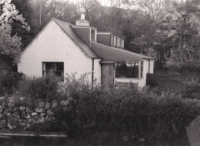
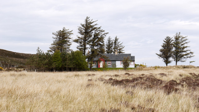
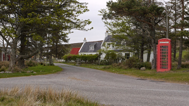
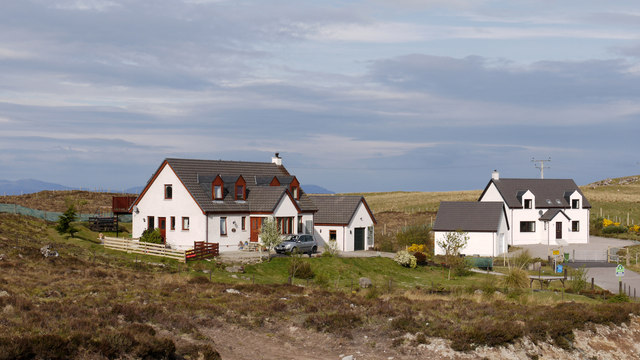
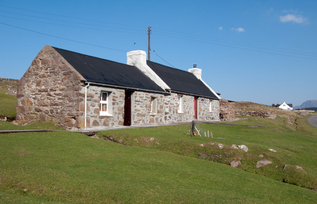
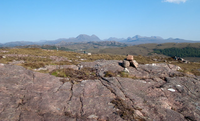
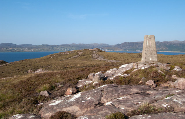
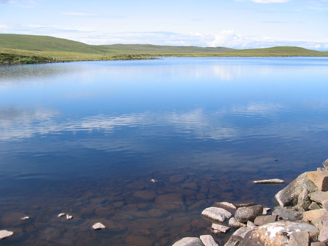
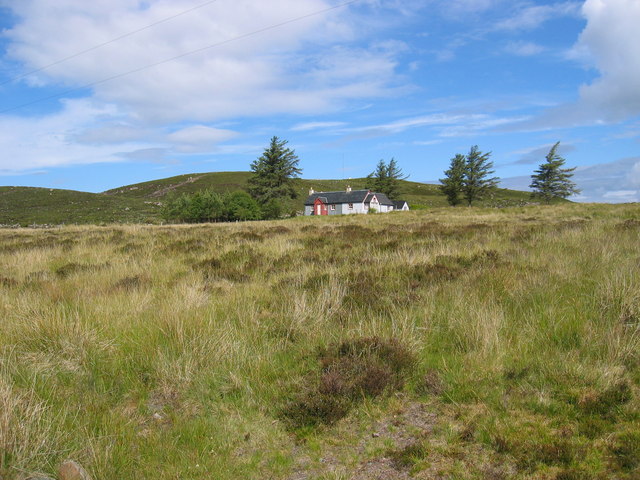
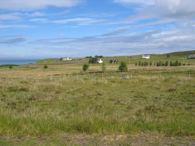
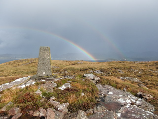
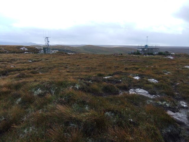
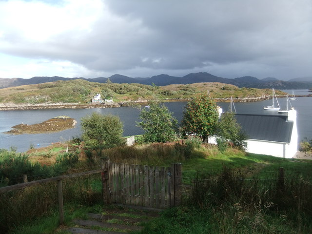
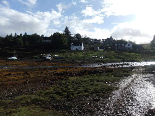
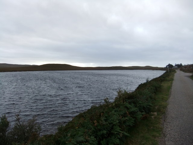
Creag an Sgairbh Images

Images are sourced within 2km of 57.707052/-5.7500872 or Grid Reference NG7674. Thanks to Geograph Open Source API. All images are credited.

Trigpoint, Meall na h-Airde Looking north-east towards Gairloch
Trigpoint, Meall na h-Airde
Looking north-east towards Gairloch
Aird Cottage
Aird Cottage
Park Cottage Park Cottage is part of the crofting community of Port Henderson, near to Gairloch.
Park Cottage
Park Cottage is part of the crofting community of Port Henderson, near to Gairloch.
Road junction in Port Henderson Port Henderson is a crofting community on the south side of Loch Gairloch. The road crossing the image from left to right is the B8056.
Road junction in Port Henderson
Port Henderson is a crofting community on the south side of Loch Gairloch. The road crossing the image from left to right is the B8056.
New housing at Badachro Badachro is a small village on the south side of Loch Gairloch. The detached houses seen in this image are part of the Coille Dhorch development on what was until recently, moorland.
New housing at Badachro
Badachro is a small village on the south side of Loch Gairloch. The detached houses seen in this image are part of the Coille Dhorch development on what was until recently, moorland.
Cottage at Port Henderson Port Henderson is a crofting community to the south of Loch Gairloch. The cottage is beside a minor road north of the B8056 and appears to have been renovated in recent times; it's doubtful if its present owner(s) follow a crofting life, it being more likely a holiday home now.
Cottage at Port Henderson
Port Henderson is a crofting community to the south of Loch Gairloch. The cottage is beside a minor road north of the B8056 and appears to have been renovated in recent times; it's doubtful if its present owner(s) follow a crofting life, it being more likely a holiday home now.
Sandstone slab with cairn on Meall na h-Airde Meall na h-Airde is a low hill on the south side of Loch Gairloch. Baosbheinn is the distant, prominent mountain at the left side of the image; the Torridon mountains lie to the right of it.
Sandstone slab with cairn on Meall na h-Airde
Meall na h-Airde is a low hill on the south side of Loch Gairloch. Baosbheinn is the distant, prominent mountain at the left side of the image; the Torridon mountains lie to the right of it.
Trig point of Meall na h-Airde Meall na h-Airde is a low hill on the south side of Loch Gairloch. Sandstone ribs run away from the pillar towards the loch.
Trig point of Meall na h-Airde
Meall na h-Airde is a low hill on the south side of Loch Gairloch. Sandstone ribs run away from the pillar towards the loch.
Eilean Horrisdale Eilean Horrisdale as seen from Aird, to the west.
Eilean Horrisdale
Eilean Horrisdale as seen from Aird, to the west.
Loch Bad na h-Achlaise
Park Cottage near Port Henderson
Port Henderson crofting community
Double rainbow , Meall na h-Airde
Mast and reservoir on Meall na h-Airde
Eilean Horrisdale
Eilean Horrisdale
Badachro
Badachro
Loch bad na h-Aclaise
Badachro Bay A small, but sheltered, anchorage.
Badachro Bay
A small, but sheltered, anchorage.
Show me another place!

Creag an Sgairbh is located at Grid Ref: NG7674 (Lat: 57.707052, Lng: -5.7500872)

Unitary Authority: Highland

Police Authority: Highlands and Islands

What 3 Words

///aquatic.bunkers.september. Near Gairloch, Highland

Related Wikis

Port Henderson

Port Henderson (Scottish Gaelic: Portaigil) is a fishing village on the south west shore of the Gair Loch near the village of Gairloch, Ross-shire, Scottish...

Gair Loch

The Gair Loch is a sea loch on the North West coast of Highland, Scotland. In Scottish Gaelic it is an Geàrr Loch meaning 'the short loch'. Around 6 miles...

Badachro

Badachro (Scottish Gaelic: Bad a' Chrò) is a former fishing village, in the northwest Highlands of Scotland. == Geography == Badachro sits about 3 km south...

Eilean Horrisdale

Eilean Horrisdale is an uninhabited island in Loch Gairloch in Wester Ross, Scotland. == Geography == Eilean Horrisdale is the largest island in Loch Gairloch...

Nearby Amenities

Located within 500m of 57.707052,-5.7500872
Created By: almien_coastlines
Source: PGS
Lat/Long: 57.707714/-5.74205
Created By: almien_coastlines
Source: PGS
Lat/Long: 57.707448/-5.742508
Created By: almien_coastlines
Source: PGS
Lat/Long: 57.707438/-5.742986
Created By: almien_coastlines
Source: PGS
Lat/Long: 57.707683/-5.743483
Created By: almien_coastlines
Source: PGS
Lat/Long: 57.707662/-5.744438
Created By: almien_coastlines
Source: PGS
Lat/Long: 57.707344/-5.747285
Created By: almien_coastlines
Source: PGS
Lat/Long: 57.707078/-5.747744
Created By: almien_coastlines
Source: PGS
Lat/Long: 57.706812/-5.748202
Created By: almien_coastlines
Source: PGS
Lat/Long: 57.706802/-5.74868
Source: PGS
Lat/Long: 57.7066414/-5.7509585
Source: PGS
Lat/Long: 57.7063095/-5.7520786
Source: PGS
Lat/Long: 57.7069039/-5.7537732
Source: PGS
Lat/Long: 57.7071596/-5.7557501
Created By: almien_coastlines
Source: PGS
Lat/Long: 57.707413/-5.755904
Source: PGS
Lat/Long: 57.7072285/-5.7571662
Source: PGS
Lat/Long: 57.7071344/-5.7575026
Source: PGS
Lat/Long: 57.7070773/-5.7579158
Badantionail
Name Gd: Bad an Inneil
Place: hamlet
Lat/Long: 57.7053592/-5.7550612
The data included in this document is from www.openstreetmap.org. The data is made available under ODbL.

Have you been to Creag an Sgairbh?

Leave your review of Creag an Sgairbh below (or comments, questions and feedback).