Meall na h-Àirde
Hill, Mountain in Ross-shire
Scotland
Meall na h-Àirde

The requested URL returned error: 429 Too Many Requests
If you have any feedback on the listing, please let us know in the comments section below.
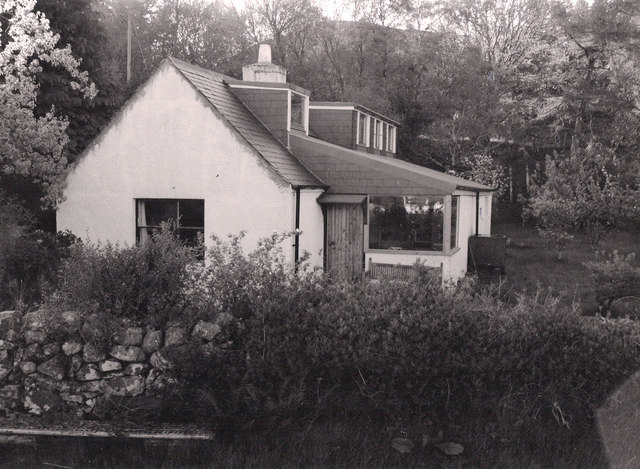
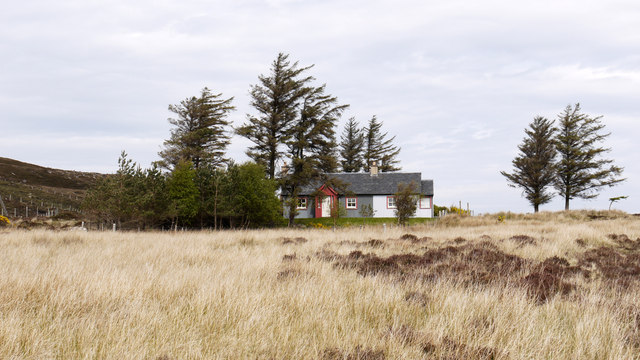
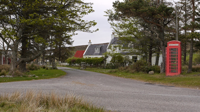
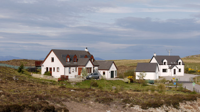
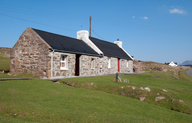
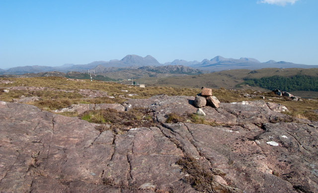
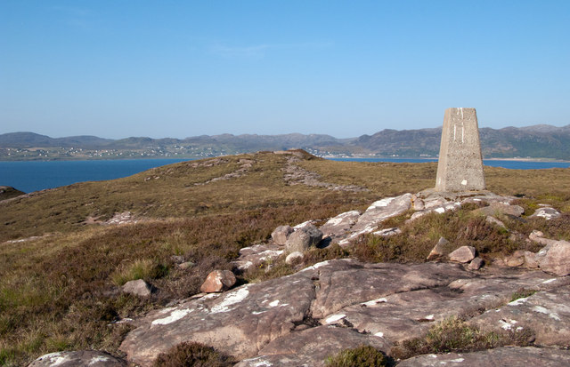
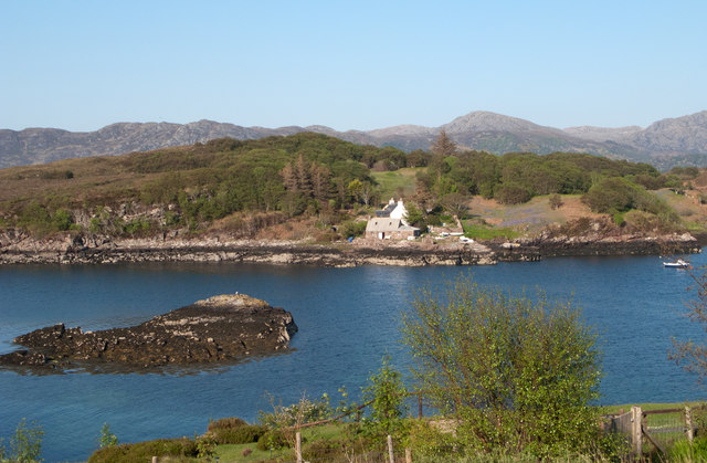
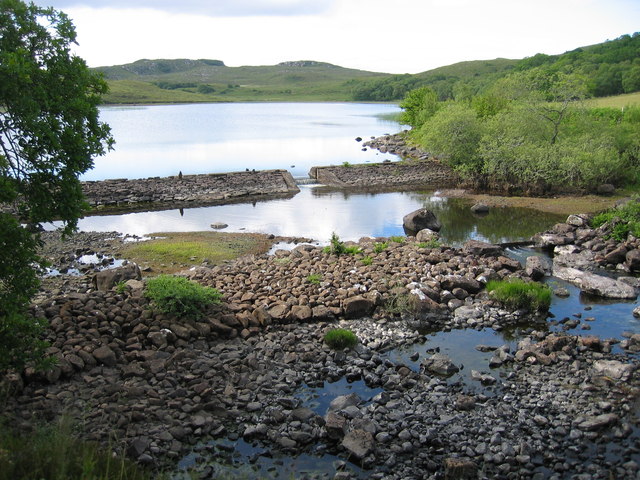
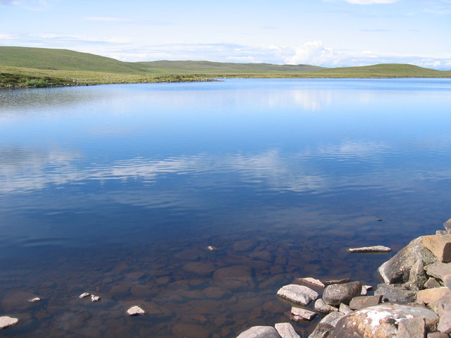
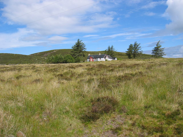
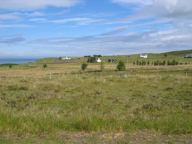
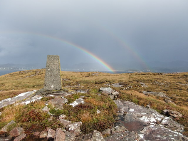
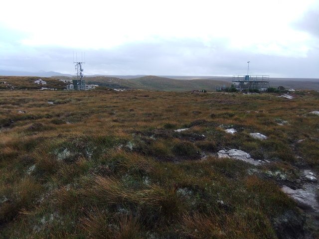
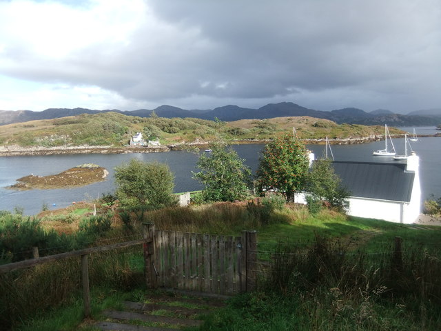
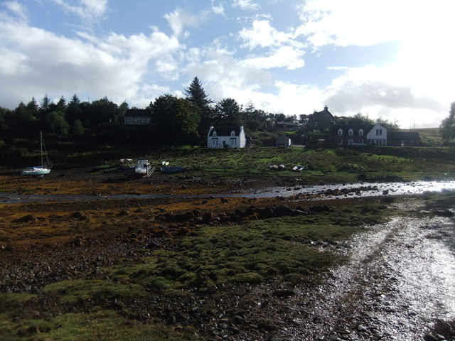
Meall na h-Àirde Images
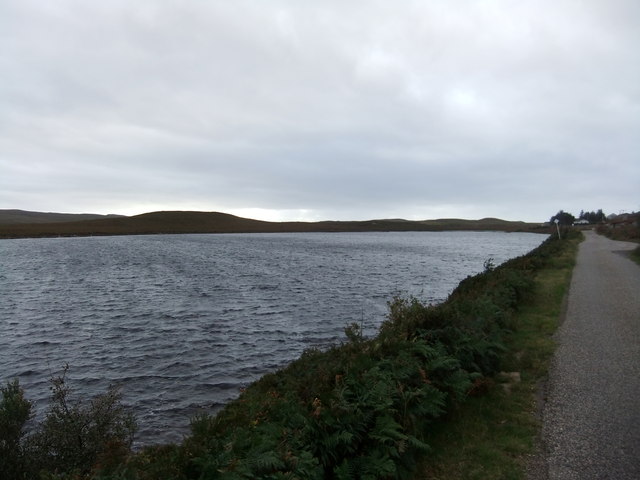
Images are sourced within 2km of 57.70296/-5.7455827 or Grid Reference NG7674. Thanks to Geograph Open Source API. All images are credited.
Meall na h-Àirde is located at Grid Ref: NG7674 (Lat: 57.70296, Lng: -5.7455827)
Unitary Authority: Highland
Police Authority: Highlands and Islands
What 3 Words
///official.locals.ambushed. Near Gairloch, Highland
Nearby Locations
Related Wikis

Port Henderson
Port Henderson (Scottish Gaelic: Portaigil) is a fishing village on the south west shore of the Gair Loch near the village of Gairloch, Ross-shire, Scottish...

Badachro
Badachro (Scottish Gaelic: Bad a' Chrò) is a former fishing village, in the northwest Highlands of Scotland. == Geography == Badachro sits about 3 km south...

Eilean Horrisdale
Eilean Horrisdale is an uninhabited island in Loch Gairloch in Wester Ross, Scotland. == Geography == Eilean Horrisdale is the largest island in Loch Gairloch...

Gair Loch
The Gair Loch is a sea loch on the North West coast of Highland, Scotland. In Scottish Gaelic it is an Geàrr Loch meaning 'the short loch'. Around 6 miles...
Nearby Amenities
Located within 500m of 57.70296,-5.7455827Have you been to Meall na h-Àirde?
Leave your review of Meall na h-Àirde below (or comments, questions and feedback).