Airor Island
Island in Inverness-shire
Scotland
Airor Island
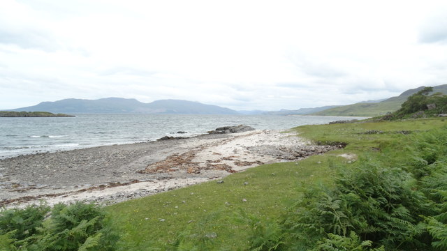
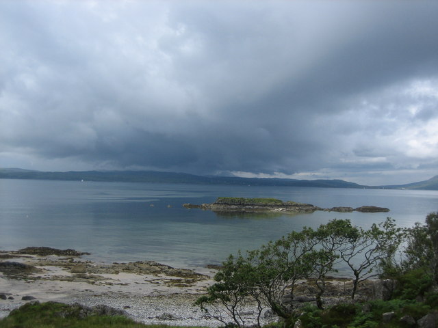
Located off the west coast of Scotland, Airor Island is a small, uninhabited island in Inverness-shire. The island is part of the Inner Hebrides archipelago and is known for its rugged and remote beauty.
Measuring just 0.3 square kilometers in size, Airor Island is largely covered in heather and grasses, with rocky cliffs lining its coastline. The island is home to a variety of bird species, including puffins, guillemots, and razorbills, making it a popular destination for birdwatchers.
Access to Airor Island is limited, with no scheduled ferry services or accommodation options available on the island. Visitors looking to explore the island must arrange their own transportation, such as hiring a private boat or kayak.
Despite its lack of amenities, Airor Island offers a peaceful and unspoiled natural environment for those looking to escape the hustle and bustle of modern life. The island's remote location and stunning scenery make it a popular destination for nature lovers and outdoor enthusiasts seeking a tranquil retreat.
If you have any feedback on the listing, please let us know in the comments section below.
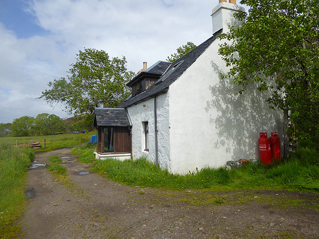
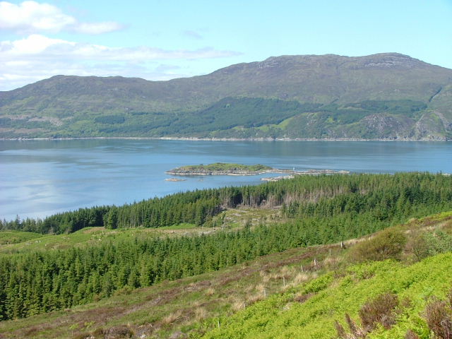
Airor Island Images
Images are sourced within 2km of 57.085642/-5.7703554 or Grid Reference NG7105. Thanks to Geograph Open Source API. All images are credited.


Airor Island is located at Grid Ref: NG7105 (Lat: 57.085642, Lng: -5.7703554)
Unitary Authority: Highland
Police Authority: Highlands and Islands
What 3 Words
///making.blasted.wrenching. Near Armadale, Highland
Nearby Locations
Related Wikis

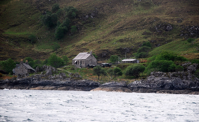
Airor
Airor is a hamlet in the peninsula of Knoydart, Lochaber, Highland, on the west coast of Scotland. It is situated on the north-west coast of Knoydart,...
Sound of Sleat
The Sound of Sleat is a narrow sea channel off the western coast of Scotland. It divides the Sleat peninsula on the south-east side of the Isle of Skye...

Sandaig Bay
Sandaig Bay is a coastal embayment, on a chord of 2.04 kilometres (1 mile 471 yards), on a 194° orientation, located on the northwestern end of the sea...
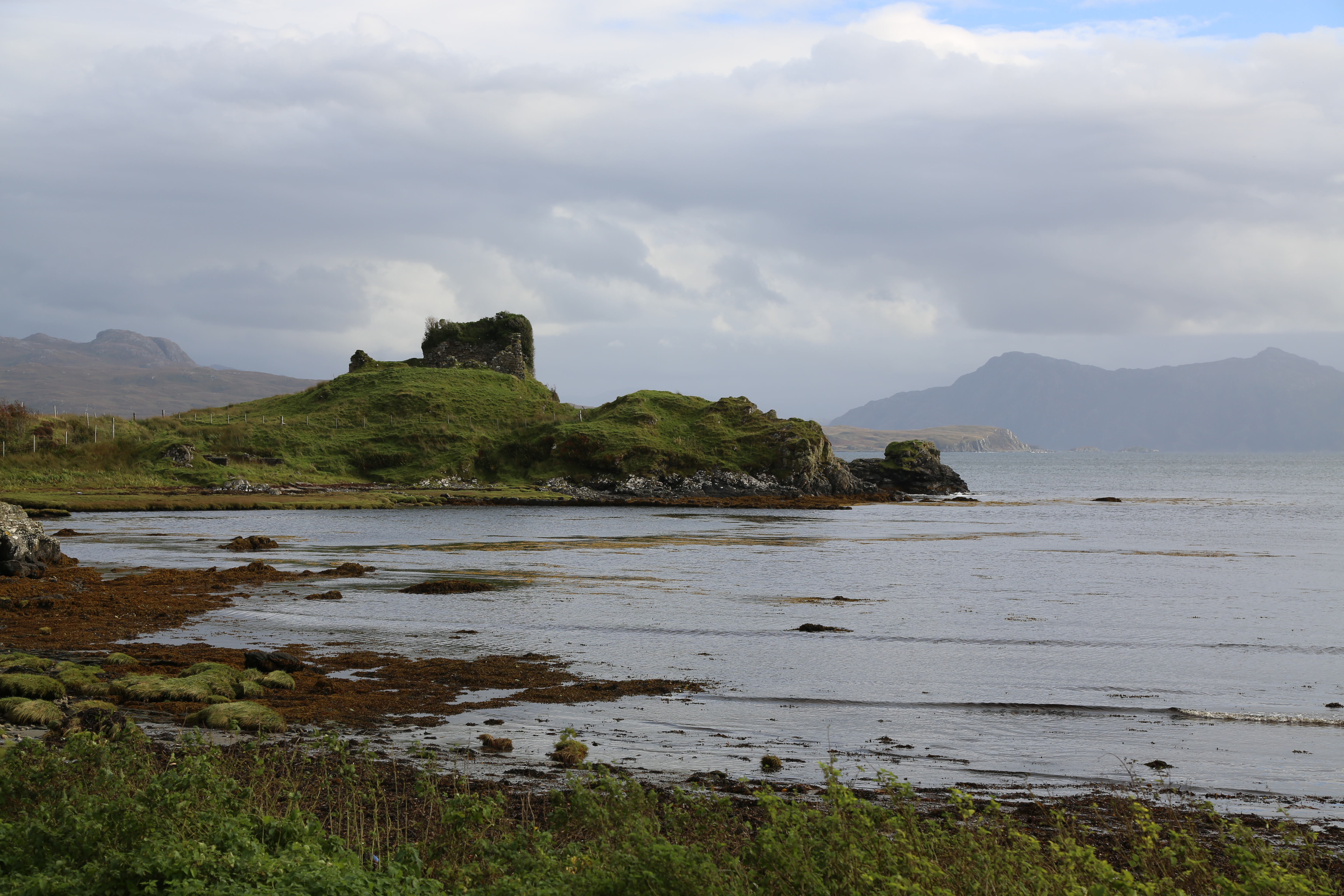
Knock Castle (Isle of Skye)
Knock Castle, also known as Caisteal Chamuis (Castle Camus) is a former stronghold of the MacDonalds. It lies on the east coast of Sleat, approximately...
Nearby Amenities
Located within 500m of 57.085642,-5.7703554Have you been to Airor Island?
Leave your review of Airor Island below (or comments, questions and feedback).