Rill Ledges
Island in Cornwall
England
Rill Ledges
The requested URL returned error: 429 Too Many Requests
If you have any feedback on the listing, please let us know in the comments section below.
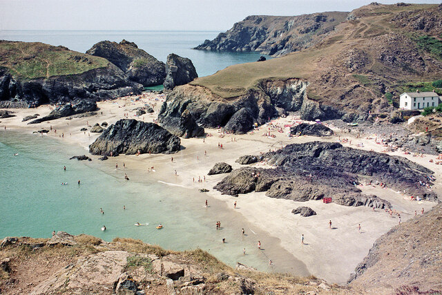
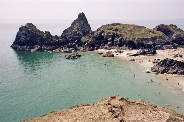
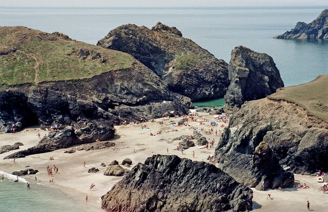
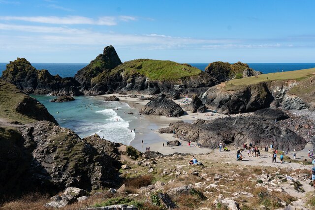
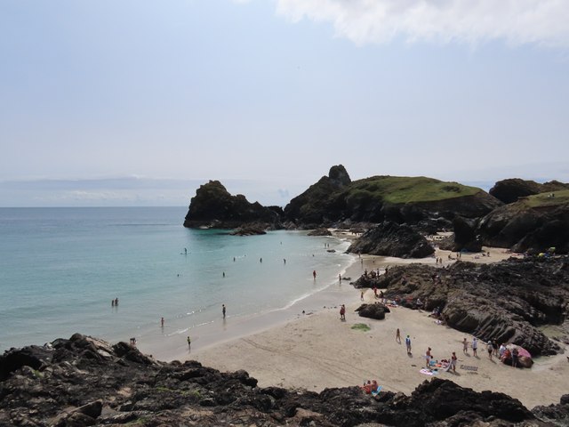
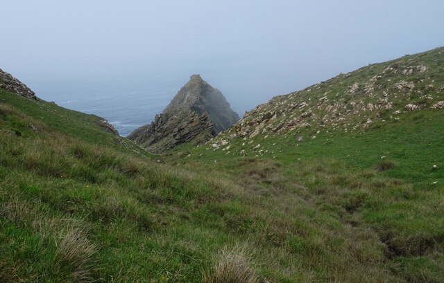
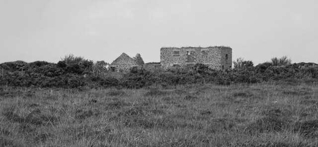
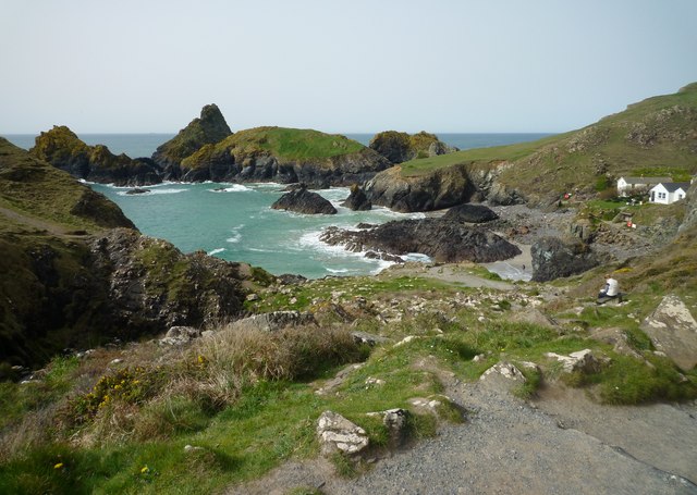
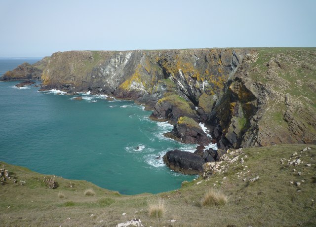
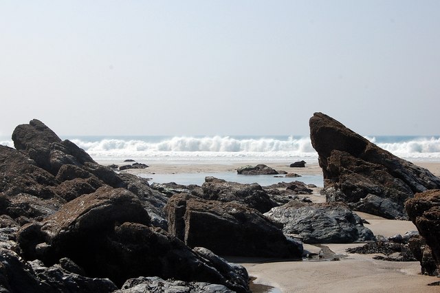
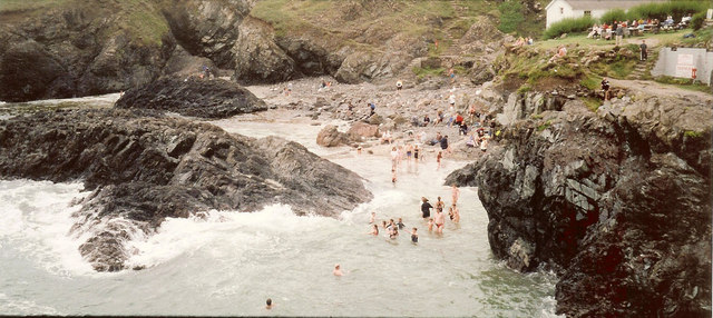
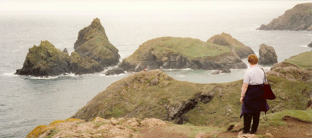
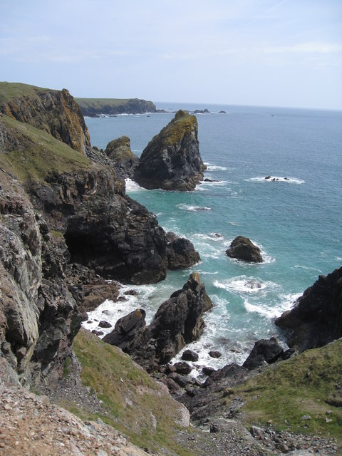
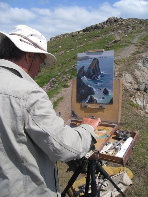
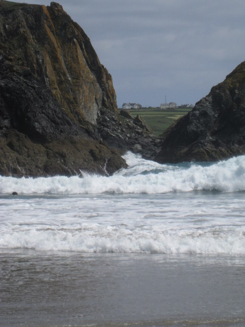
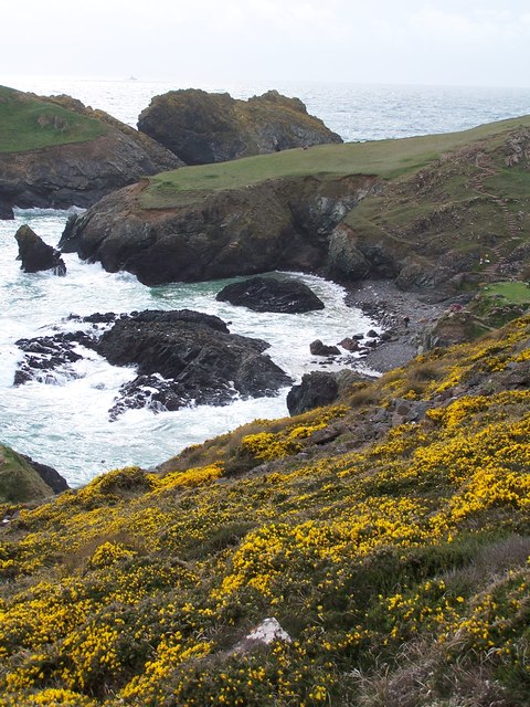
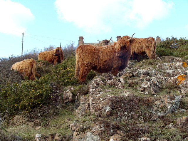
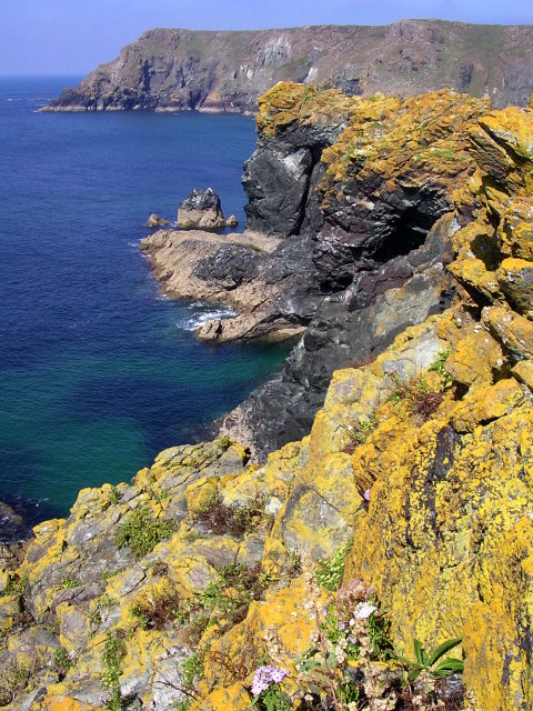
Rill Ledges Images
Images are sourced within 2km of 49.975/-5.2458571 or Grid Reference SW6713. Thanks to Geograph Open Source API. All images are credited.

Rill Ledges is located at Grid Ref: SW6713 (Lat: 49.975, Lng: -5.2458571)
Unitary Authority: Cornwall
Police Authority: Devon and Cornwall
What 3 Words
///flamingo.collide.rewriting. Near Landewednack, Cornwall
Nearby Locations
Related Wikis

Rill Cove Wreck
The Rill Cove Wreck is an underwater wreck of a 16th-century Spanish cargo ship lying off the coast of Rill Cove, west of Kynance Cove, in Cornwall, England...
Asparagus Island
Asparagus Island (Cornish: Enys Merlosowen) is a small tidal island on the eastern side of Mount's Bay, within the parish of Mullion, Cornwall, United...

Kynance Cove
Kynance Cove (Cornish: Porth Keynans, meaning ravine cove) is a cove on the eastern side of Mount's Bay, Cornwall, England. It is situated on the Lizard...

Pentreath
Higher Pentreath and Lower Pentreath (Cornish: Penntreth, representing penn an treth, meaning head (of) the beach) are hamlets to the west of Praa Sands...
Have you been to Rill Ledges?
Leave your review of Rill Ledges below (or comments, questions and feedback).