Eilean an Fheidh

Island in Inverness-shire

Scotland

Eilean an Fheidh

Gated road to Shona Beag
Gated road to Shona Beag Credit: Steven Brown

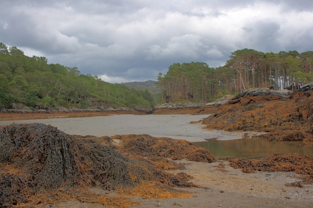
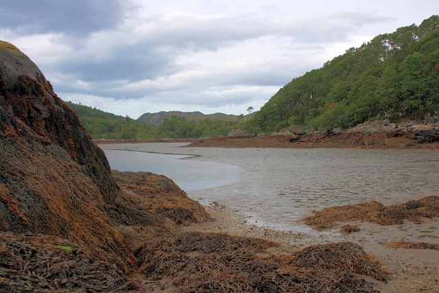
Eilean an Fheidh is a small island located in the county of Inverness-shire in Scotland. It is situated in Loch Maree, one of the largest freshwater lochs in the Highlands region. The name "Eilean an Fheidh" translates to "Island of the Deer" in Gaelic, and it is often referred to as Deer Island.

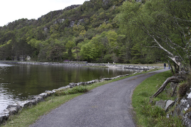
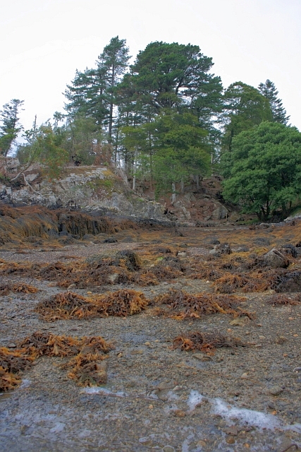
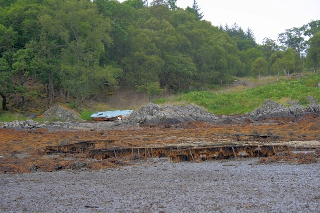
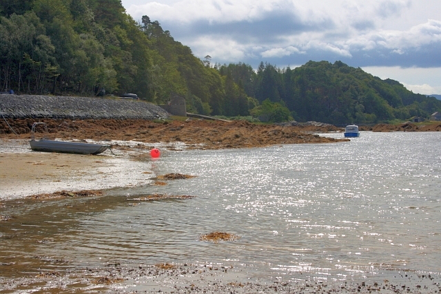
The island is known for its stunning natural beauty and rich wildlife. Covered in lush greenery and surrounded by the tranquil waters of Loch Maree, Eilean an Fheidh offers a peaceful retreat for nature lovers and outdoor enthusiasts. The island is home to a thriving population of red deer, which gives it its name. Visitors can often spot these majestic creatures roaming freely across the island.

In addition to its wildlife, Eilean an Fheidh is also famous for its historical significance. The island is home to the ruins of an ancient chapel, believed to have been built in the 8th or 9th century. These ruins serve as a reminder of the island's long and fascinating history.

Access to Eilean an Fheidh is primarily by boat, with several boat tours available for visitors who wish to explore the island. These tours offer a unique opportunity to immerse oneself in the natural beauty and tranquility of this remote Scottish island.

Overall, Eilean an Fheidh is a picturesque island that is cherished for its natural beauty, wildlife, and historical significance. It provides a perfect escape for those seeking a peaceful and immersive experience in the heart of the Scottish Highlands.

If you have any feedback on the listing, please let us know in the comments section below.

Eilean an Fheidh Images

Images are sourced within 2km of 56.788649/-5.8142374 or Grid Reference NM6772. Thanks to Geograph Open Source API. All images are credited.

Gated road to Shona Beag
A861 near Shona Beag
A861 at Kylesbeg
A861 at Kylesbeg
A861 and Loch Moidart
Castle Tioram This most exposed corner which was in danger of collapse has now been saved by the owner being granted permission at long last to restore the castle to its former habitable state.
Castle Tioram
This most exposed corner which was in danger of collapse has now been saved by the owner being granted permission at long last to restore the castle to its former habitable state.
Castle Tioram
Castle Tioram
Castle Tioram from the Silver Walk At low water the beach between the island and the headland is exposed.
Castle Tioram from the Silver Walk
At low water the beach between the island and the headland is exposed.
Road by the Loch Side
Castle Tioram - High Tide
Castle Tioram - 1987 Or Castle Tiorlair on the largest scale OS maps. A view from just south of the causeway that connects the castle with the mainland when the tide is out. Behind is Eilean Shona.
Castle Tioram - 1987
Or Castle Tiorlair on the largest scale OS maps. A view from just south of the causeway that connects the castle with the mainland when the tide is out. Behind is Eilean Shona.
Eilean Shona and Castle Tioram A view northwest from near the causeway that allows access to the castle at low tide.
Eilean Shona and Castle Tioram
A view northwest from near the causeway that allows access to the castle at low tide.
Shoreline near Eilean Shona House At low tide.
Shoreline near Eilean Shona House
At low tide.
Oyster Cages I think these are disused cages used for cultivating oysters. Near Eilean Shona House.
Oyster Cages
I think these are disused cages used for cultivating oysters. Near Eilean Shona House.
Shoreline below Cnoc a'Chrochaidh
Caisteal Tioram From Riska Island The Dry Castle. Due to the fact that it can be reached by a sandy strand. not quite an island.

The castle was first recorded in 1373 and was intentionally burnt down in 1715 by Alan, the 14th chief, who was off to join the Jacobite Rebellion and had a premonition of his own death.
Caisteal Tioram From Riska Island
The Dry Castle. Due to the fact that it can be reached by a sandy strand. not quite an island. The castle was first recorded in 1373 and was intentionally burnt down in 1715 by Alan, the 14th chief, who was off to join the Jacobite Rebellion and had a premonition of his own death.
Remains of Small Building at Caisteal Tioram Containing human excrement. Not a nice sight for the many tourists exploring the castle.
Remains of Small Building at Caisteal Tioram
Containing human excrement. Not a nice sight for the many tourists exploring the castle.
Channel Between Shona Beag and Eilean na Gruagaig A narrow channel between two islands, Shona Beag on the left, Eilean na Gruagaig on the right. Dry at low tide.
Channel Between Shona Beag and Eilean na Gruagaig
A narrow channel between two islands, Shona Beag on the left, Eilean na Gruagaig on the right. Dry at low tide.
Shoreline of Shona Beag Looking towards the muddy bay of Port Thairbeirt Dheas. At low tide.
Shoreline of Shona Beag
Looking towards the muddy bay of Port Thairbeirt Dheas. At low tide.
Show me another place!

Eilean an Fheidh is located at Grid Ref: NM6772 (Lat: 56.788649, Lng: -5.8142374)

Unitary Authority: Highland

Police Authority: Highlands and Islands

What 3 Words

///annotated.rags.releasing. Near Arisaig, Highland

Related Wikis

Loch Moidart

Loch Moidart is a sea loch (sea inlet) in the district of Moidart in Highland, Scotland. It is on the west coast of Scotland, and runs about 8 km (5 miles...

Castle Tioram

Castle Tioram (; Scottish Gaelic: Caisteal Tioram, meaning "dry castle") is a ruined castle that sits on the tidal island Eilean Tioram in Loch Moidart...

Eilean Shona

Eilean Shona (Scottish Gaelic: Eilean SeĆ²na) is a tidal island in Loch Moidart, Scotland. The modern name may be from the Old Norse for "sea island". The...

Newton of Ardtoe

Newton of Ardtoe is a scattered crofting hamlet near Acharacle in Lochaber, Scottish Highlands and is in the council area of Highland.

Nearby Amenities

Located within 500m of 56.788649,-5.8142374
Source: PGS
Lat/Long: 56.7860716/-5.816692
Source: PGS
Lat/Long: 56.7861198/-5.8169117
Source: PGS
Lat/Long: 56.7862/-5.8174393
Source: PGS
Lat/Long: 56.7862244/-5.8178056
Source: PGS
Lat/Long: 56.7862179/-5.8180825
Source: PGS
Lat/Long: 56.7861951/-5.8185057
Source: PGS
Lat/Long: 56.7861946/-5.8189075
Source: PGS
Lat/Long: 56.7861897/-5.8197335
Source: PGS
Lat/Long: 56.7862869/-5.820559
Source: PGS
Lat/Long: 56.786381/-5.8210409
The data included in this document is from www.openstreetmap.org. The data is made available under ODbL.

Have you been to Eilean an Fheidh?

Leave your review of Eilean an Fheidh below (or comments, questions and feedback).