Oitir Uaine
Coastal Marsh, Saltings in Inverness-shire
Scotland
Oitir Uaine

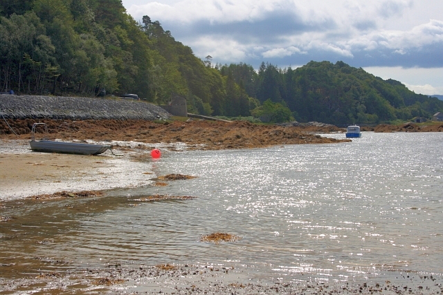
Oitir Uaine, located in Inverness-shire, is a coastal marsh and saltings area that boasts stunning natural beauty and abundant biodiversity. Spanning approximately 200 hectares, it is situated along the northern coast of Scotland, near the town of Inverness.
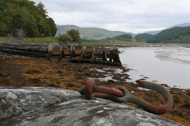
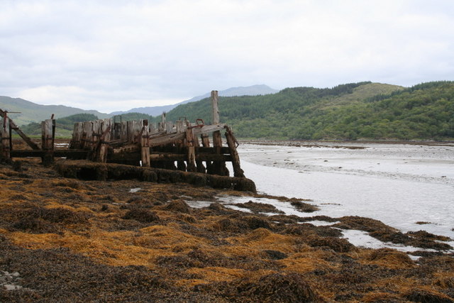
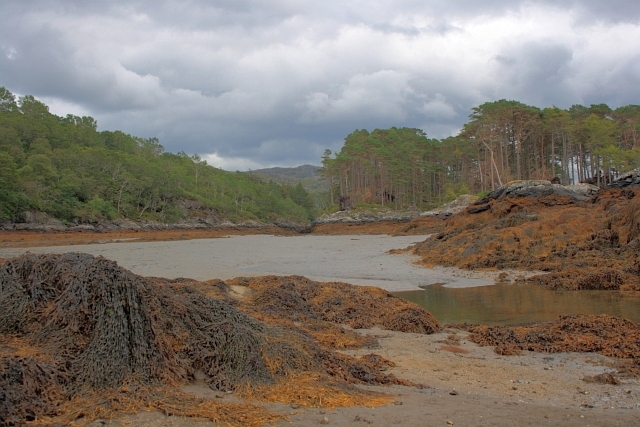
The landscape of Oitir Uaine is characterized by its extensive mudflats, salt marshes, and sand dunes. These unique coastal features are the result of a delicate balance between the sea, wind, and tides. The area is also crisscrossed by meandering creeks and channels, providing a vital habitat for various marine and avian species.
The marshes and saltings of Oitir Uaine are of great ecological significance. They serve as an important feeding and breeding ground for a wide range of bird species, including waders, waterfowl, and seabirds. These birds are attracted to the area due to the abundance of invertebrates, such as worms, snails, and crustaceans, found in the rich mudflats.
In addition to its avian inhabitants, Oitir Uaine supports a diverse array of plant life. The salt marshes are home to salt-tolerant vegetation, including samphire and sea lavender, which adds to the area's beauty. The dunes are covered in marram grass and other coastal plants that stabilize the sandy soil and prevent erosion.
Oitir Uaine is a designated nature reserve and is managed by conservation organizations to protect its delicate ecosystems. Visitors can explore the area through a network of footpaths and enjoy the breathtaking views of the marshes, dunes, and the sea. It is a haven for nature enthusiasts and birdwatchers, providing a unique opportunity to immerse oneself in the beauty of Scotland's coastal habitats.
If you have any feedback on the listing, please let us know in the comments section below.
Oitir Uaine Images
Images are sourced within 2km of 56.786611/-5.8044468 or Grid Reference NM6772. Thanks to Geograph Open Source API. All images are credited.


Oitir Uaine is located at Grid Ref: NM6772 (Lat: 56.786611, Lng: -5.8044468)
Unitary Authority: Highland
Police Authority: Highlands and Islands
What 3 Words
///shook.jokers.lakeside. Near Arisaig, Highland
Nearby Locations
Related Wikis

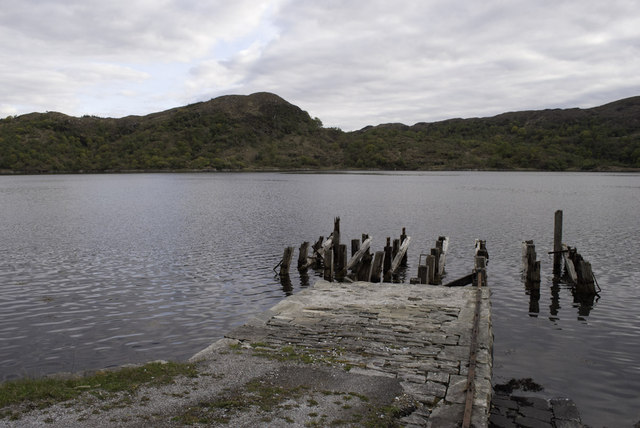
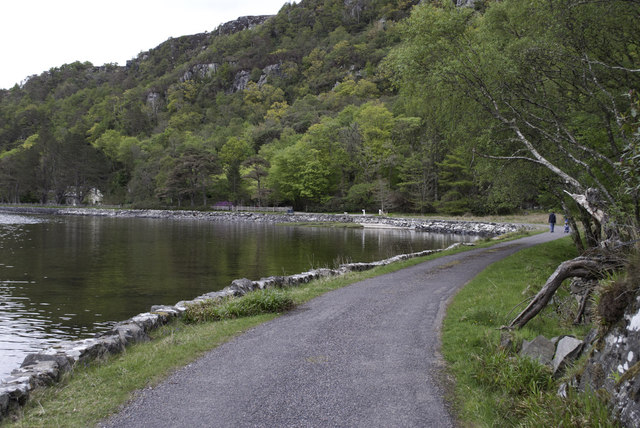
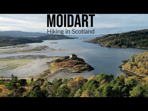
Loch Moidart
Loch Moidart is a sea loch (sea inlet) in the district of Moidart in Highland, Scotland. It is on the west coast of Scotland, and runs about 8 km (5 miles...

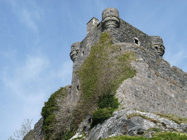
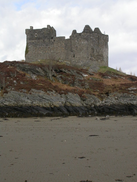
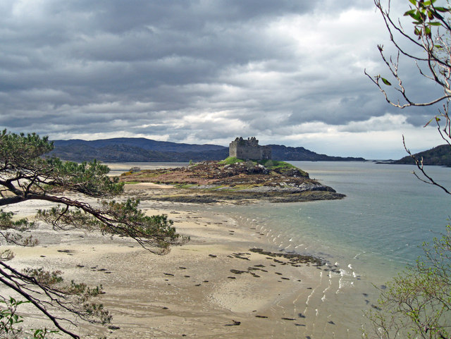
Castle Tioram
Castle Tioram (; Scottish Gaelic: Caisteal Tioram, meaning "dry castle") is a ruined castle that sits on the tidal island Eilean Tioram in Loch Moidart...

Eilean Shona
Eilean Shona (Scottish Gaelic: Eilean Seòna) is a tidal island in Loch Moidart, Scotland. The modern name may be from the Old Norse for "sea island". The...
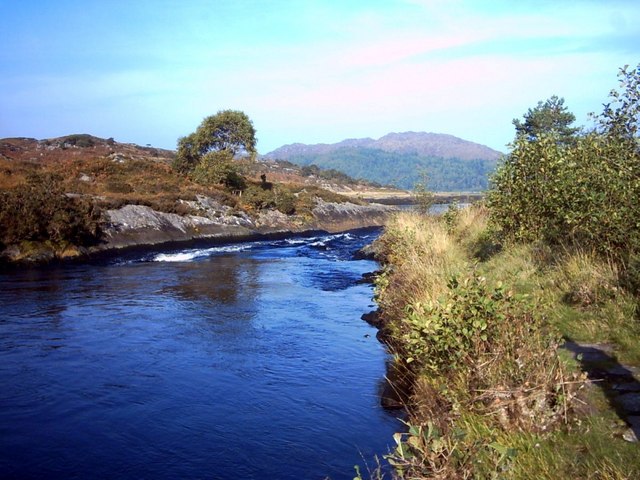
River Shiel
The River Shiel (Scottish Gaelic: Abhainn Seile) is a four kilometre long river in Acharacle, Highland. It flows out of the Loch Shiel into the sea at...
Related Videos
Hiking in Moidart - Scotland
00:00 Intro 00:24 Up the hill 02:56 View over Loch Moidart 03:29 Into the woods 04:06 Briaig clearance village 04:50 Silver Walk ...


Silver Walk @ Loch Moidart
This is a partial tour of the Silver Walk on the banks of Loch Moidart in Scotland. Well worth the trip, if you're thinking of going ...
Nearby Amenities
Located within 500m of 56.786611,-5.8044468Have you been to Oitir Uaine?
Leave your review of Oitir Uaine below (or comments, questions and feedback).