Little Bealings
Settlement in Suffolk East Suffolk
England
Little Bealings
Little Bealings is a small village located in the county of Suffolk, England. It is situated approximately 5 miles north-east of the county town, Ipswich. The village is nestled in a rural area and is surrounded by picturesque countryside, making it an attractive destination for nature enthusiasts and those seeking a peaceful retreat.
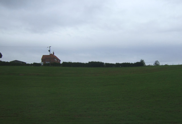
Little Bealings boasts a population of around 350 residents, contributing to its close-knit community and friendly atmosphere. The village is characterized by its charming mix of traditional and modern architecture, with a range of housing styles including quaint cottages and contemporary homes.
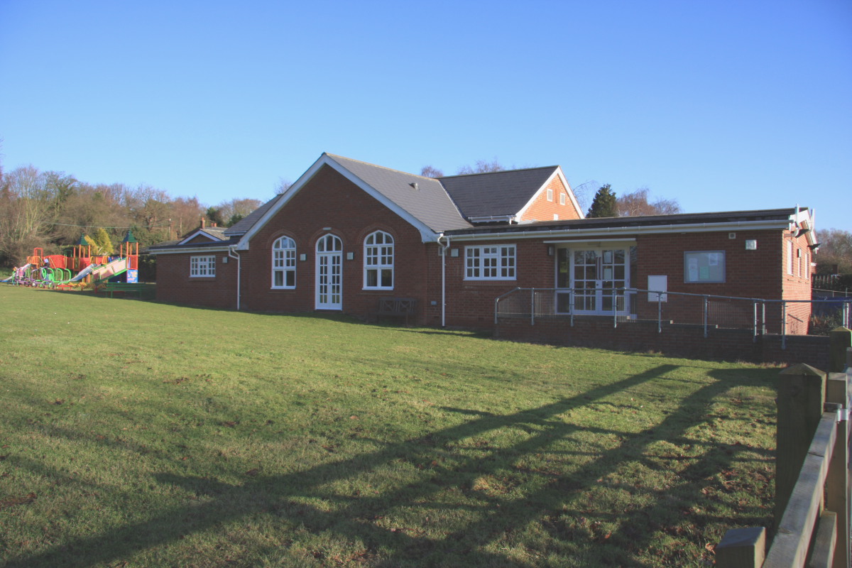
The heart of Little Bealings is its village green, a focal point for community events and gatherings. The green is well-maintained and features a children's playground, providing a space for families to relax and enjoy outdoor activities. Additionally, the village has a small primary school and a village hall, which hosts various social and cultural activities.
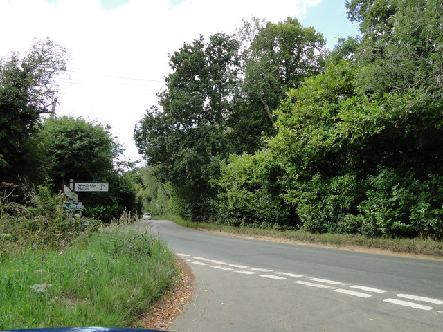
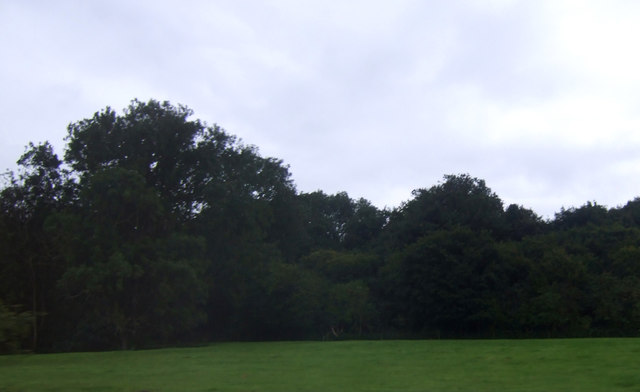
Surrounding the village are vast expanses of farmland and woodlands, offering numerous opportunities for outdoor pursuits such as walking, cycling, and bird-watching. The nearby River Fynn, which runs through the village, adds to the natural beauty and provides a tranquil setting for leisurely walks along its banks.
Little Bealings benefits from its convenient location, with easy access to Ipswich and the A12 road, connecting it to other major towns and cities in the region. Overall, Little Bealings is a charming and idyllic village, offering a peaceful and scenic environment for residents and visitors alike.
If you have any feedback on the listing, please let us know in the comments section below.
Little Bealings Images
Images are sourced within 2km of 52.084309/1.253059 or Grid Reference TM2247. Thanks to Geograph Open Source API. All images are credited.


Little Bealings is located at Grid Ref: TM2247 (Lat: 52.084309, Lng: 1.253059)
Administrative County: Suffolk
District: East Suffolk
Police Authority: Suffolk
What 3 Words
///typical.corporate.initial. Near Kesgrave, Suffolk
Nearby Locations
Related Wikis
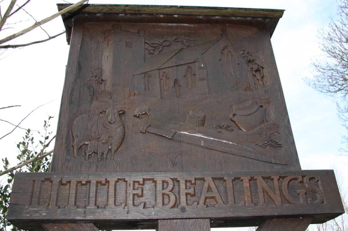
Little Bealings
Little Bealings is a village in Suffolk, England. It has a population of approximately 470 people living in around 185 households. The population had...
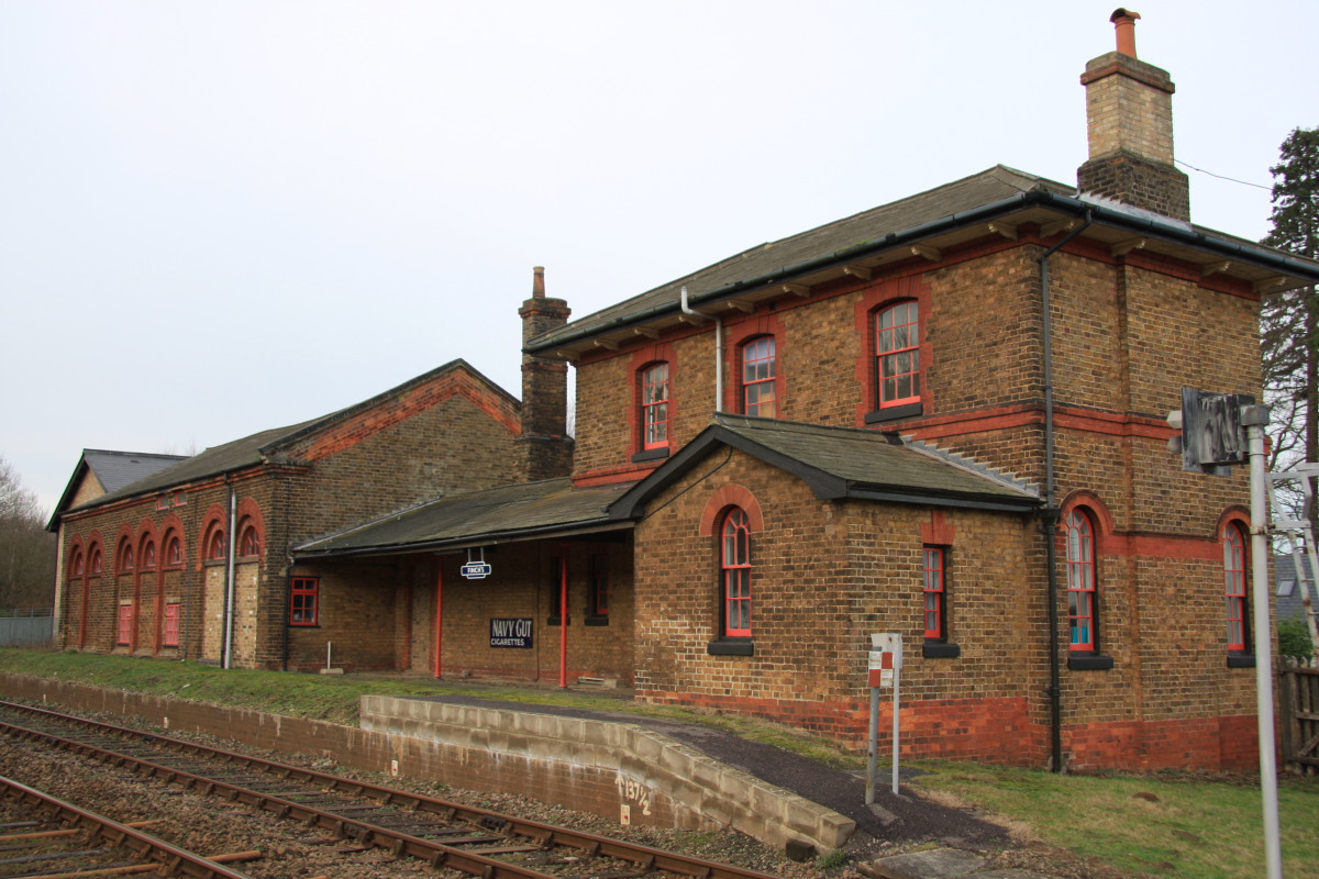
Bealings railway station
Bealings railway station was a station in Little Bealings, Suffolk, on the line between Ipswich and Lowestoft. It was 7 miles 20 chains (11.7 km) down...
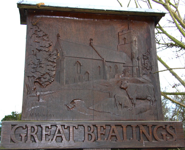
Great Bealings
Great Bealings is a small village in Suffolk, England. It has about 302 people living in it in around 113 households. Its nearest towns are Ipswich...
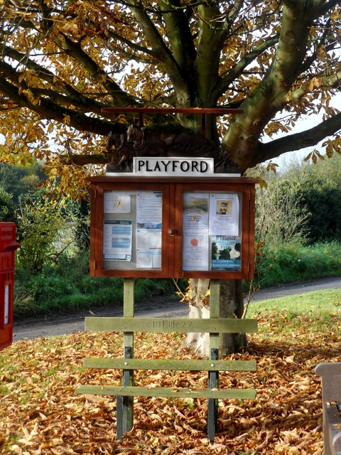
Playford, Suffolk
Playford is a village and civil parish in the East Suffolk district, in Suffolk, England, on the outskirts of Ipswich. It has about 215 residents in 90...
Nearby Amenities
Located within 500m of 52.084309,1.253059Have you been to Little Bealings?
Leave your review of Little Bealings below (or comments, questions and feedback).