Bealings, Little
Settlement in Suffolk East Suffolk
England
Bealings, Little
Bealings, Little is a charming village located in the county of Suffolk, England. Situated on the eastern coast of the country, this picturesque settlement is nestled amidst the breathtaking countryside landscape that Suffolk is renowned for. Bealings, Little is part of a larger parish known as Great Bealings, which it shares with the neighboring village of Great Bealings.
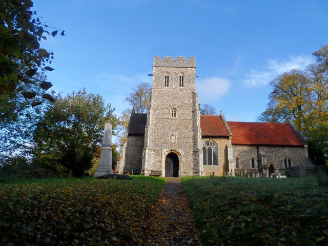
The village is characterized by its traditional English architecture, with quaint cottages and historic buildings dotting the landscape. The centerpiece of Bealings, Little is the St. Mary's Church, a beautiful medieval church that dates back to the 14th century. This architectural gem features stunning stained glass windows and a tranquil churchyard, making it a popular destination for history enthusiasts and visitors seeking a moment of serenity.
Surrounded by rolling hills and lush green fields, Bealings, Little offers an idyllic setting for long walks and outdoor activities. The nearby River Deben adds to the village's charm, providing opportunities for boating and fishing. The village also boasts several local pubs and eateries, where visitors can enjoy a traditional English meal or relax with a pint of locally brewed ale.
Despite its small size, Bealings, Little enjoys a strong sense of community, with residents actively participating in various social and cultural events. The village hosts an annual summer fete, which attracts visitors from the surrounding areas and showcases local crafts, food, and entertainment.
Overall, Bealings, Little is a tranquil and picturesque village, offering a peaceful retreat for both residents and visitors in the heart of the Suffolk countryside.
If you have any feedback on the listing, please let us know in the comments section below.
Bealings, Little Images
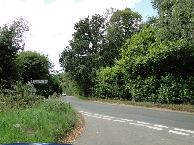
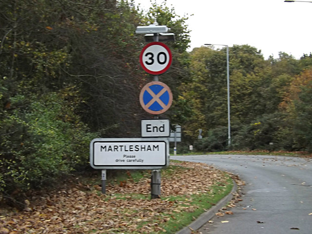
Images are sourced within 2km of 52.084309/1.253059 or Grid Reference TM2247. Thanks to Geograph Open Source API. All images are credited.


Bealings, Little is located at Grid Ref: TM2247 (Lat: 52.084309, Lng: 1.253059)
Administrative County: Suffolk
District: East Suffolk
Police Authority: Suffolk
What 3 Words
///typical.corporate.initial. Near Kesgrave, Suffolk
Nearby Locations
Related Wikis
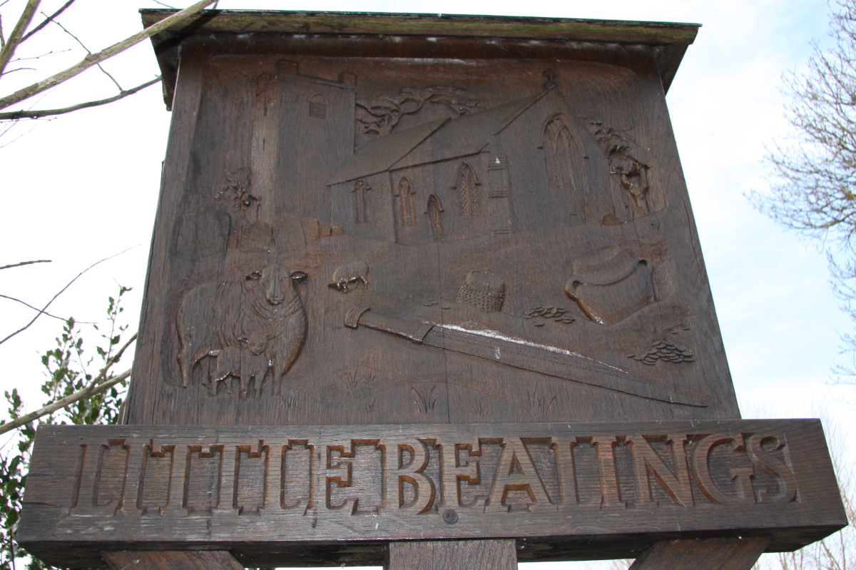
Little Bealings
Little Bealings is a village in Suffolk, England. It has a population of approximately 470 people living in around 185 households. The population had...
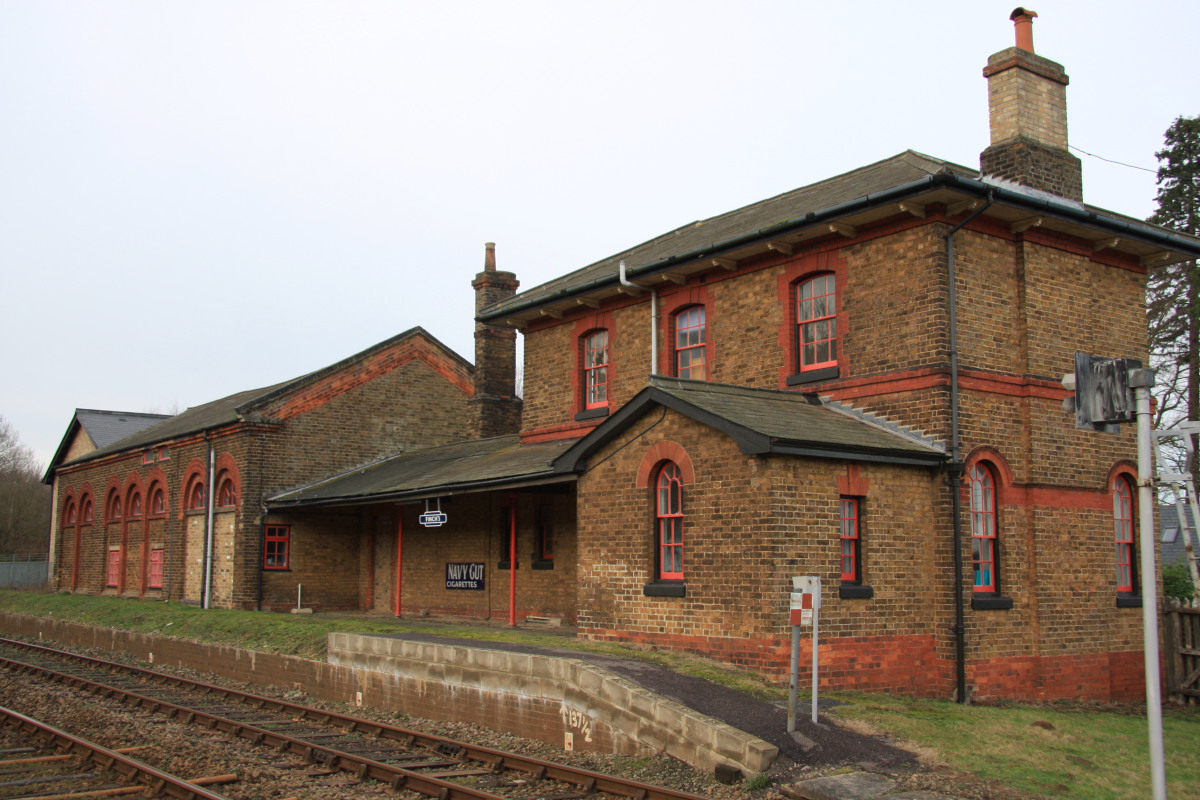
Bealings railway station
Bealings railway station was a station in Little Bealings, Suffolk, on the line between Ipswich and Lowestoft. It was 7 miles 20 chains (11.7 km) down...
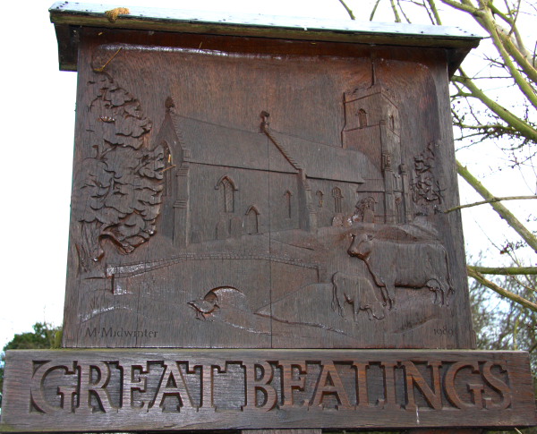
Great Bealings
Great Bealings is a small village in Suffolk, England. It has about 302 people living in it in around 113 households. Its nearest towns are Ipswich...
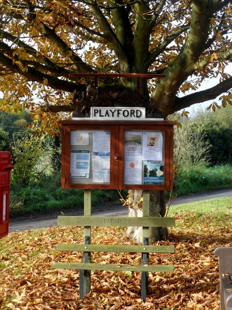
Playford, Suffolk
Playford is a village and civil parish in the East Suffolk district, in Suffolk, England, on the outskirts of Ipswich. It has about 215 residents in 90...
Nearby Amenities
Located within 500m of 52.084309,1.253059Have you been to Bealings, Little?
Leave your review of Bealings, Little below (or comments, questions and feedback).