Jura
Island in Argyllshire
Scotland
Jura
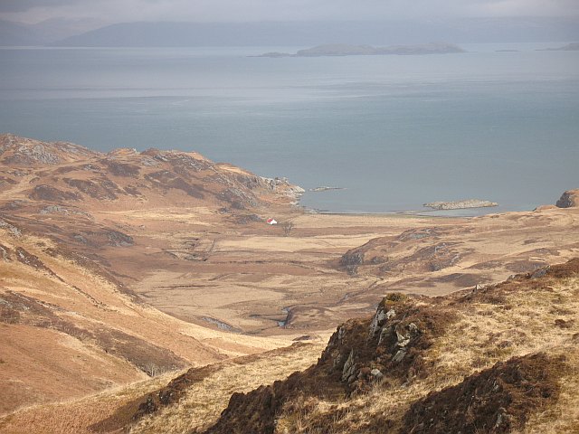
Jura, located in Argyllshire, Scotland, is a picturesque island known for its untouched natural beauty and rich wildlife. With an area of around 367 square kilometers, it is the seventh-largest Scottish island. Jura is separated from mainland Scotland by the Sound of Jura, a narrow strait, and is neighbored by the islands of Islay to the southwest and Scarba to the southeast.
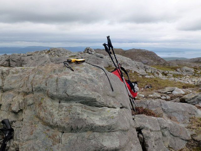
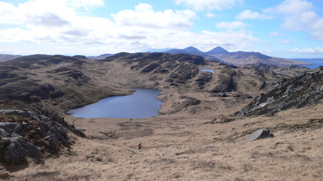
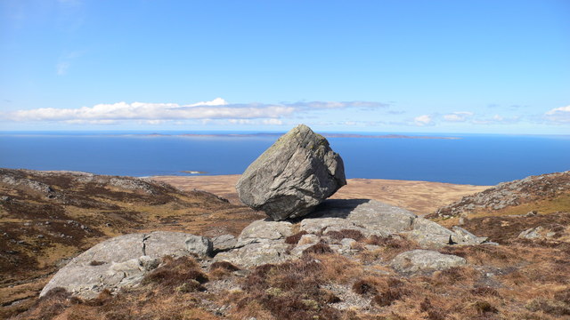
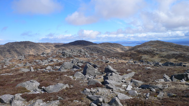
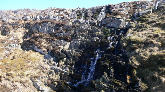
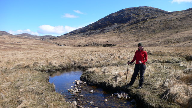
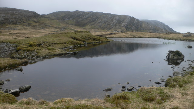
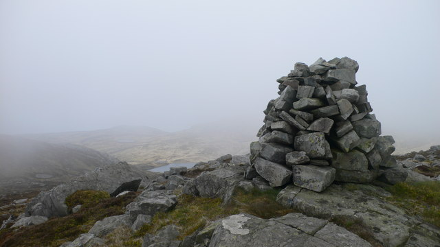
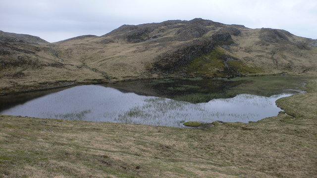
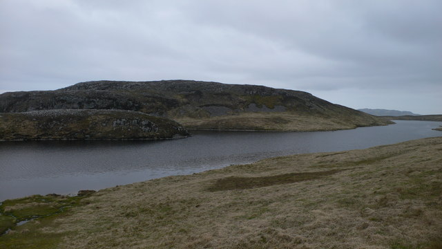
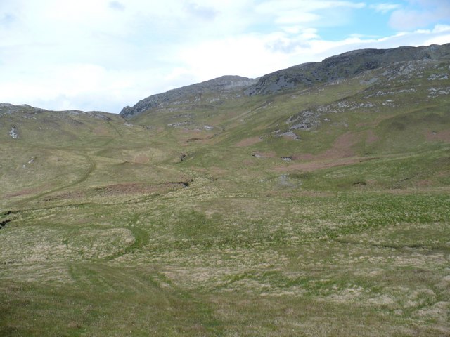
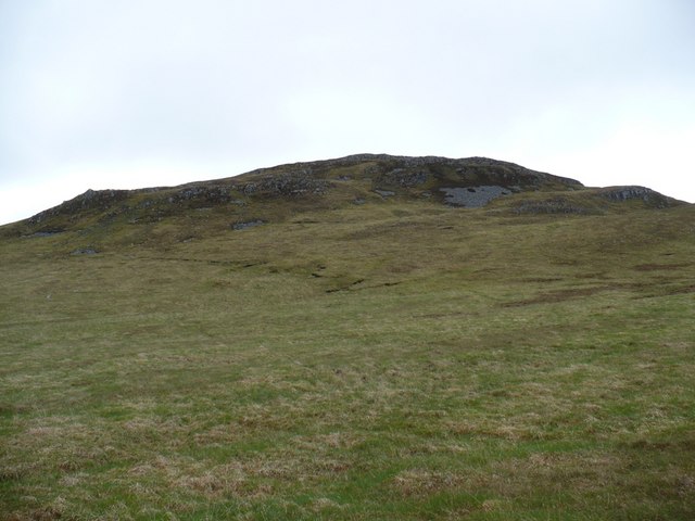
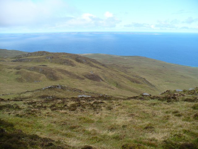
The landscape of Jura is characterized by rugged mountains, moorlands, and serene sandy beaches. The iconic Paps of Jura, three distinctive peaks, dominate the island's skyline, making it a magnet for hikers and climbers. The highest peak, Beinn an Òir, stands at an impressive 785 meters.
Jura is also renowned for its abundant wildlife. Red deer roam freely across the island, and it is estimated that their population outnumbers the human inhabitants. The island is also home to a variety of bird species, including golden eagles, peregrine falcons, and corncrakes, making it a haven for birdwatchers.
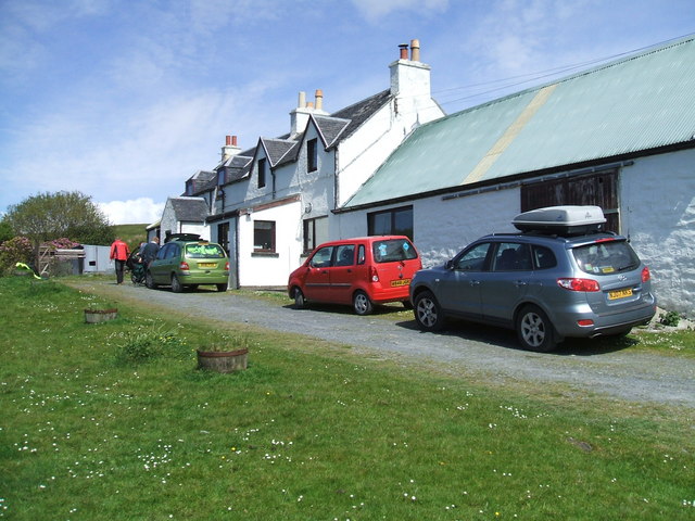
The island's population is relatively small, with only about 200 residents. The main settlement is Craighouse, where visitors can find essential amenities such as accommodations, a post office, and a distillery. Jura Distillery, established in 1810, produces the world-famous Jura single malt whisky, which is sought after by whisky enthusiasts worldwide.
Jura offers a tranquil escape from the hustle and bustle of urban life, with its stunning scenery, peaceful atmosphere, and opportunities for outdoor activities such as hiking, fishing, and wildlife spotting. It is a destination that beckons nature lovers and those seeking a true Scottish island experience.
If you have any feedback on the listing, please let us know in the comments section below.
Jura Images
Images are sourced within 2km of 56.020786/-5.8946342 or Grid Reference NR5787. Thanks to Geograph Open Source API. All images are credited.
Jura is located at Grid Ref: NR5787 (Lat: 56.020786, Lng: -5.8946342)
Unitary Authority: Argyll and Bute
Police Authority: Argyll and West Dunbartonshire
What 3 Words
///summer.superhero.driveways. Near Scalasaig, Argyll & Bute
Nearby Locations
Related Wikis

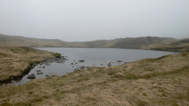
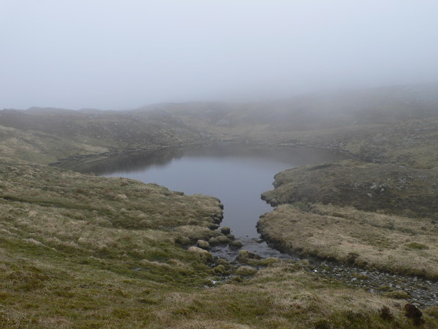
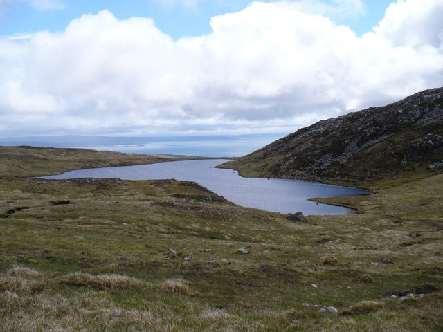
Ardlussa Fishing Loch
The Ardlussa Fishing Loch is an impounding reservoir, located 2 kilometres north of Lussagiven on a remote part of the Ardlussa Estate on Jura, Argyll...

Inverlussa
Inverlussa is a hamlet 1 mile (1.6 km) southwest of Ardlussa and 14 miles from Craighouse at the mouth of Lussa River on the east coast of the island of...
Tarbert, Jura
Tarbert is a hamlet on Tarbert Bay, on the east coast of the island of Jura, in the council area of Argyll and Bute, Scotland. The Tarbert estate is owned...
Battle of the Western Isles
The Battle of the Western Isles was a series of conflicts in 1585 and 1586 on the islands of Jura, Islay, Mull and Tiree, Scotland as well as the peninsula...
Nearby Amenities
Located within 500m of 56.020786,-5.8946342Have you been to Jura?
Leave your review of Jura below (or comments, questions and feedback).