Eilean na h-Àirde
Island in Inverness-shire
Scotland
Eilean na h-Àirde
The requested URL returned error: 429 Too Many Requests
If you have any feedback on the listing, please let us know in the comments section below.
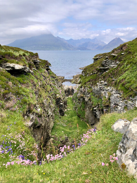
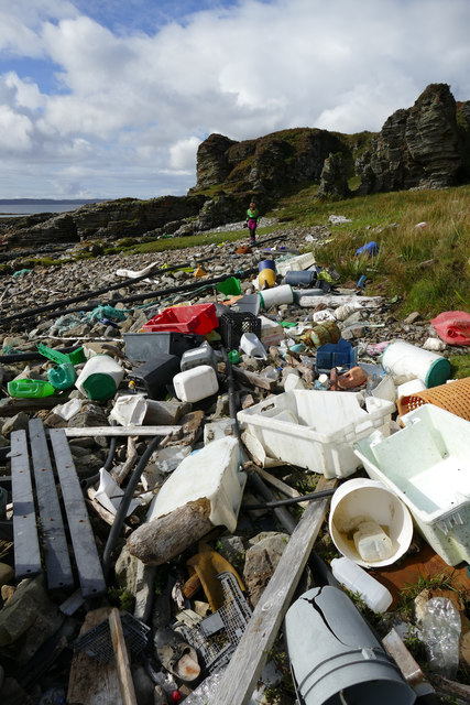
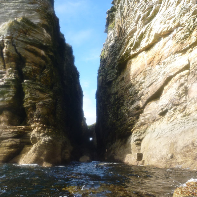
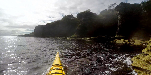
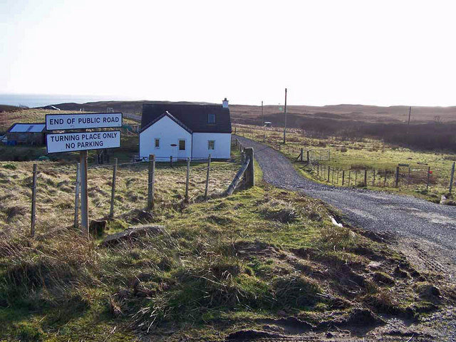
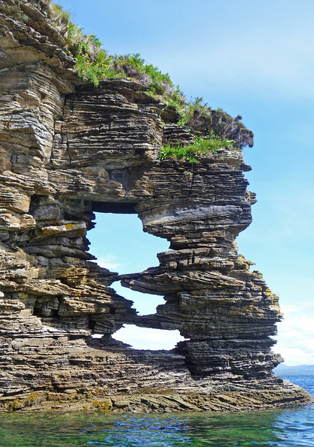
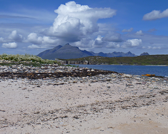
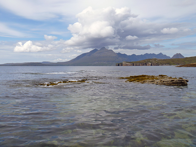
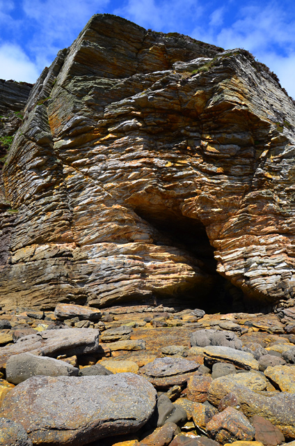
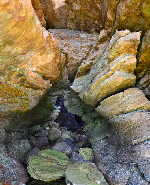
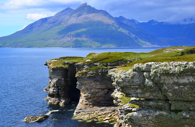
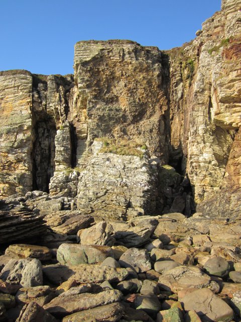
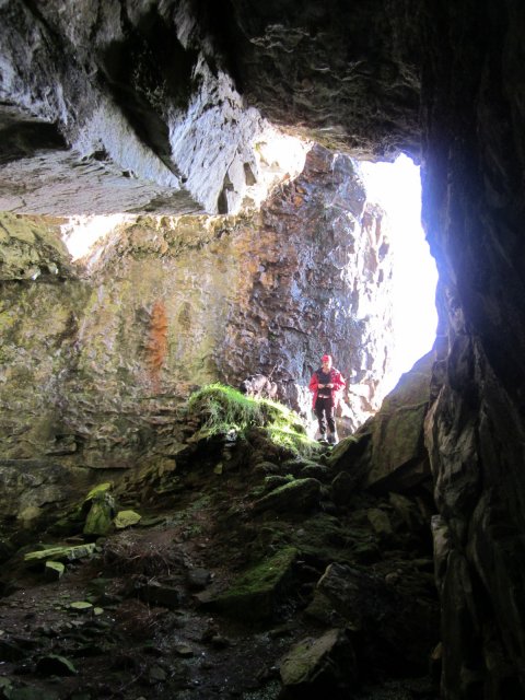
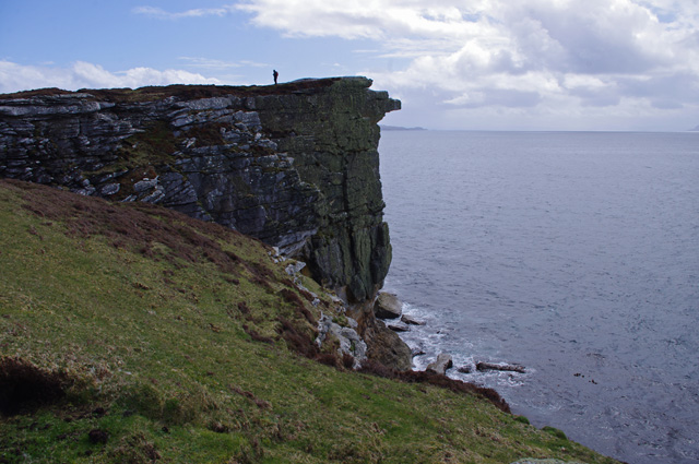
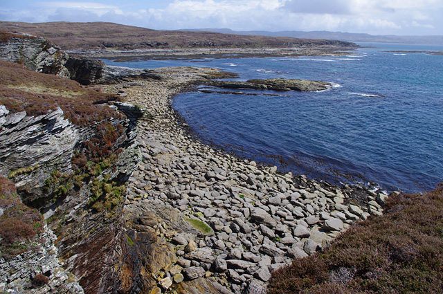
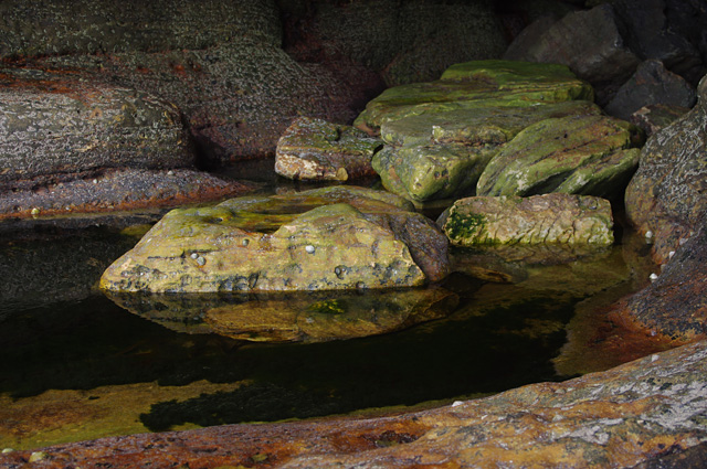
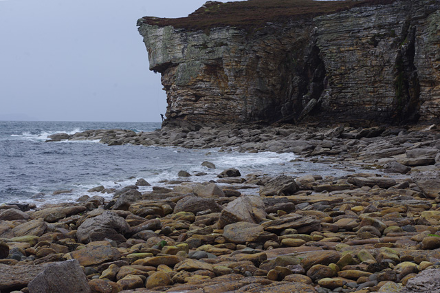
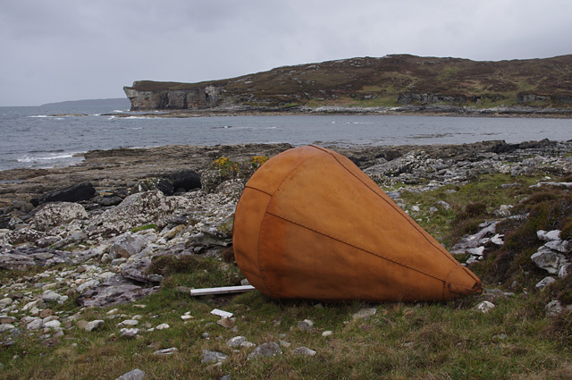
Eilean na h-Àirde Images
Images are sourced within 2km of 57.125172/-6.0940668 or Grid Reference NG5211. Thanks to Geograph Open Source API. All images are credited.
Eilean na h-Àirde is located at Grid Ref: NG5211 (Lat: 57.125172, Lng: -6.0940668)
Unitary Authority: Highland
Police Authority: Highlands and Islands
What 3 Words
///crusaders.should.approach. Near Elgol, Highland
Nearby Locations
Related Wikis

Strathaird
Strathaird is a peninsula on the island of Skye, Scotland, situated between Loch Slapin and Loch Scavaig on the south coast.W. H. Murray said that "Skye...

Elgol
Elgol (Scottish Gaelic: Ealaghol) is a village on the shores of Loch Scavaig towards the end of the Strathaird peninsula in the Isle of Skye, in the Scottish...

Tarskavaig
Tarskavaig (Tarsgabhaig in Scottish Gaelic) is a crofting village on the west coast of Sleat on the Isle of Skye in Scotland. It sits in a glen which meets...

Kilmarie
Kilmarie or Kilmaree (Scottish Gaelic: Cill Ma Ruibhe), (Gaelic: cill =' church or cell'; marie from St. Maolrubha) is a village in the Isle of Skye, Scotland...
Related Videos

Isle of Skye Photography VLOG // Elgol (Day 1 of 3)
I recently took a solo trip to the Isle of Skye for some photography and inspiration. I spent my first day at Elgol, a remote village on ...

Elgol Seascape Heaven | A Must Visit Landscape Photography Location on the Isle of Skye
Howdy Doody, And welcome to our Scotland Photography Road Trip. In this video we make a trip to Elgol, this is Seascape ...

Skye Staycation Snippets
A few highlights from our visit to Skye. It rained most of the week although we still managed to experience some of the beauty that ...

Nearby Amenities
Located within 500m of 57.125172,-6.0940668Have you been to Eilean na h-Àirde?
Leave your review of Eilean na h-Àirde below (or comments, questions and feedback).