Lariggan Rocks
Island in Cornwall
England
Lariggan Rocks

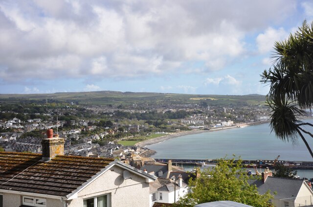
Lariggan Rocks is a small island located off the coast of Cornwall, England. Situated in the Celtic Sea, it is part of the South West Coast Path and is a popular destination for tourists and nature enthusiasts.
The island covers an area of approximately 10 acres and is known for its rugged and dramatic landscape. It is predominantly made up of granite rock formations, which have been shaped over centuries by the relentless crashing of waves. These formations create a stunning backdrop, especially during high tide when the waves crash against the rocks, creating a mesmerizing display of power and beauty.
Lariggan Rocks is home to a diverse range of wildlife, including various species of seabirds such as gulls and cormorants. The surrounding waters are also teeming with marine life, making it an ideal spot for snorkeling and diving. The clear waters provide excellent visibility, allowing visitors to explore the vibrant underwater world.
Access to Lariggan Rocks is possible during low tide, when a causeway is exposed, connecting the island to the mainland. However, it is important to check the tide times to ensure a safe visit, as the causeway is completely submerged during high tide, making it inaccessible.
For those seeking a peaceful and picturesque escape, Lariggan Rocks offers a serene and unspoiled environment. Its natural beauty, coupled with its rich wildlife, makes it a must-visit destination for nature lovers and those looking to explore Cornwall's stunning coastline.
If you have any feedback on the listing, please let us know in the comments section below.
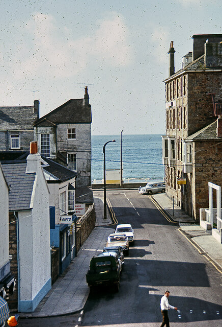
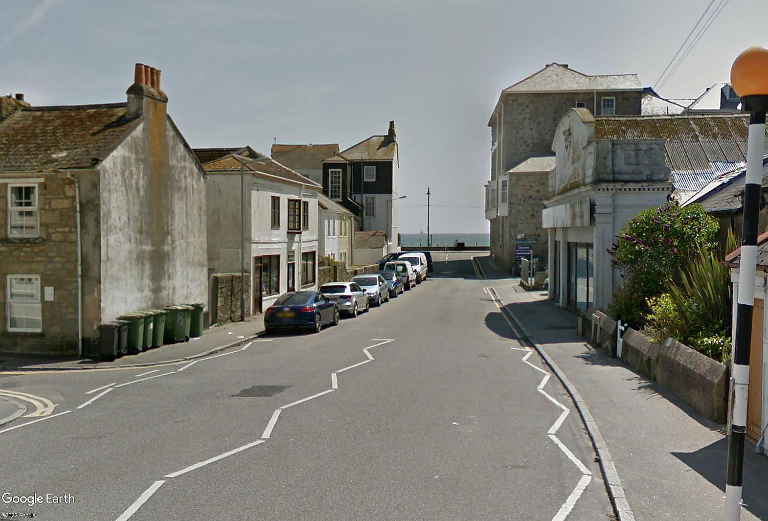
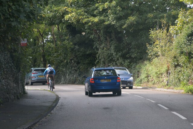
Lariggan Rocks Images
Images are sourced within 2km of 50.109947/-5.5429631 or Grid Reference SW4629. Thanks to Geograph Open Source API. All images are credited.


Lariggan Rocks is located at Grid Ref: SW4629 (Lat: 50.109947, Lng: -5.5429631)
Unitary Authority: Cornwall
Police Authority: Devon and Cornwall
What 3 Words
///modem.novels.mouths. Near Penzance, Cornwall
Nearby Locations
Related Wikis

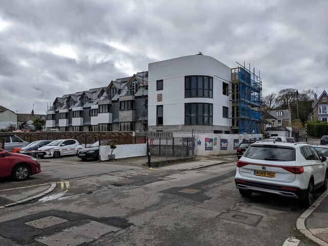
Wherrytown
Wherrytown is a small settlement in west Cornwall, United Kingdom, on the east side of the Laregan River, between Newlyn and Penzance. It was formerly...

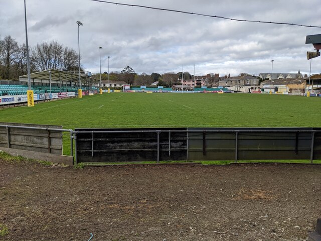
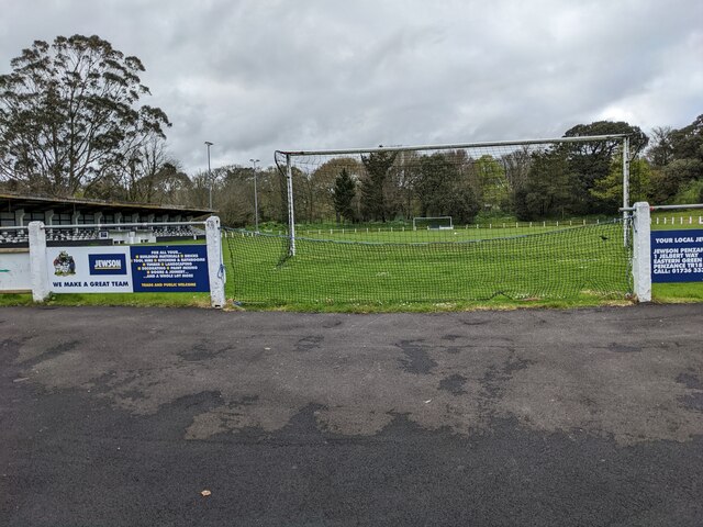
Mennaye Field
The Mennaye Field is a sports stadium located in Penzance, Cornwall, UK. The ground was provided by the Borough of Penzance for the Penzance and Newlyn...
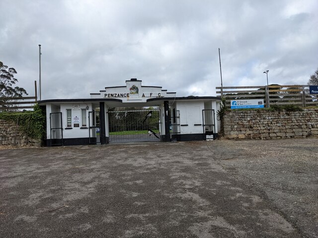
Penzance A.F.C.
Penzance Association Football Club is a Charter Standard Football Club based in Penzance, Cornwall in the United Kingdom. They were established in 1888...

Penlee House
Penlee House is a museum and art gallery located in the town of Penzance in Cornwall, and is home to a great many paintings by members of the Newlyn School...
Nearby Amenities
Located within 500m of 50.109947,-5.5429631Have you been to Lariggan Rocks?
Leave your review of Lariggan Rocks below (or comments, questions and feedback).