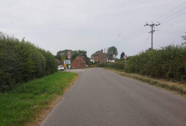
Barton in the Beans
Settlement in Leicestershire Hinckley and Bosworth
England
Barton in the Beans
Barton in the Beans is a charming village located in the county of Leicestershire, England. Nestled in the heart of rural countryside, it offers a peaceful and idyllic setting for its residents and visitors alike. With a population of around 500 people, Barton in the Beans exudes a warm and welcoming atmosphere.
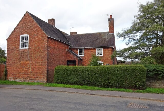
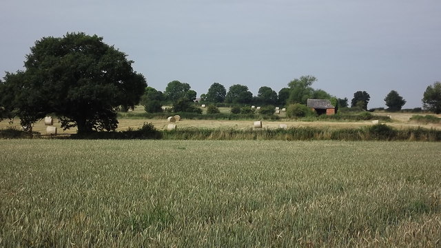
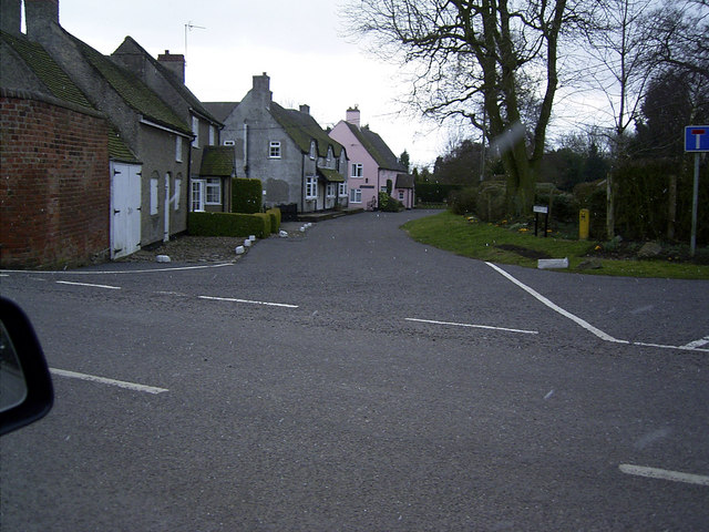
The village is characterized by its picturesque landscapes, with rolling hills, lush green fields, and quaint cottages dotting the area. It is surrounded by several other small villages, creating a close-knit community that is known for its friendly and tight bond.
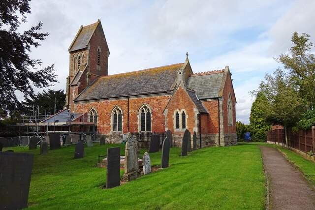
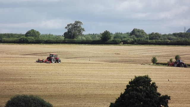
Barton in the Beans boasts a rich history, evident in its historic buildings and landmarks. St. James' Church, a stunning Grade I listed building, dates back to the 13th century and stands as a testament to the village's heritage. The village also has a strong agricultural background, with farming playing a significant role in its economy.
Community spirit is at the heart of Barton in the Beans, with various events and activities held throughout the year. The village hall serves as a focal point for social gatherings, hosting everything from local fairs to art exhibitions and fitness classes. The Barton in the Beans Primary School provides education to the young residents, further fostering a sense of community.
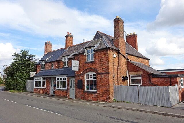
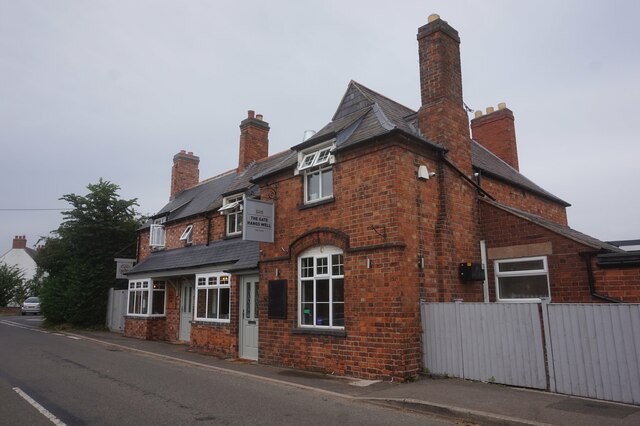
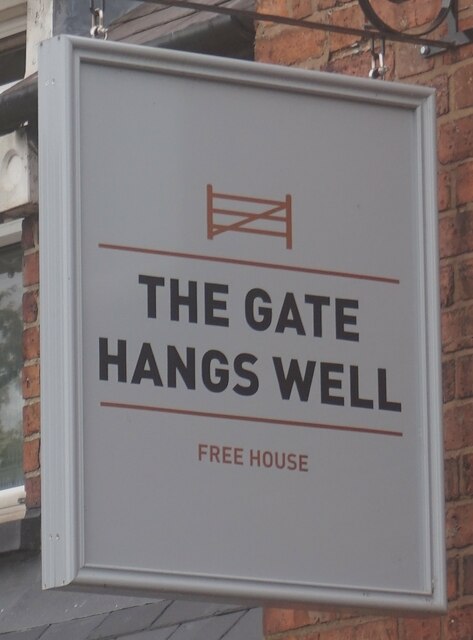
Although a small village, Barton in the Beans offers essential amenities and services to its residents. The village pub is a popular spot for locals and visitors to enjoy a pint and a meal, while a village shop caters to daily needs.
Overall, Barton in the Beans is a picturesque and welcoming village that encapsulates the essence of rural England. With its stunning landscapes, rich history, and strong community spirit, it is a hidden gem in the heart of Leicestershire.
If you have any feedback on the listing, please let us know in the comments section below.
Barton in the Beans Images
Images are sourced within 2km of 52.655668/-1.417501 or Grid Reference SK3906. Thanks to Geograph Open Source API. All images are credited.


Barton in the Beans is located at Grid Ref: SK3906 (Lat: 52.655668, Lng: -1.417501)
Administrative County: Leicestershire
District: Hinckley and Bosworth
Police Authority: Leicestershire
What 3 Words
///driven.pounce.operating. Near Barlestone, Leicestershire
Nearby Locations
Related Wikis
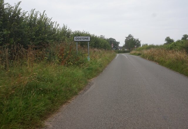
Odstone
Odstone is a hamlet and former civil parish, now in the parish of Shackerstone, in the Hinckley and Bosworth district of Leicestershire, England. It stands...

Barton in the Beans
Barton in the Beans is a hamlet and former civil parish, now in the parish of Shackerstone, in the Hinckley and Bosworth district of Leicestershire, England...

Bufton
Bufton is a small hamlet in England between the Leicestershire villages of Carlton and Barton in the Beans. It has around 10–15 residents, mainly on farms...

Shackerstone
Shackerstone is a village and civil parish in the Hinckley and Bosworth district of Leicestershire, England. It is situated on the Ashby-de-la-Zouch Canal...
Nearby Amenities
Located within 500m of 52.655668,-1.417501Have you been to Barton in the Beans?
Leave your review of Barton in the Beans below (or comments, questions and feedback).