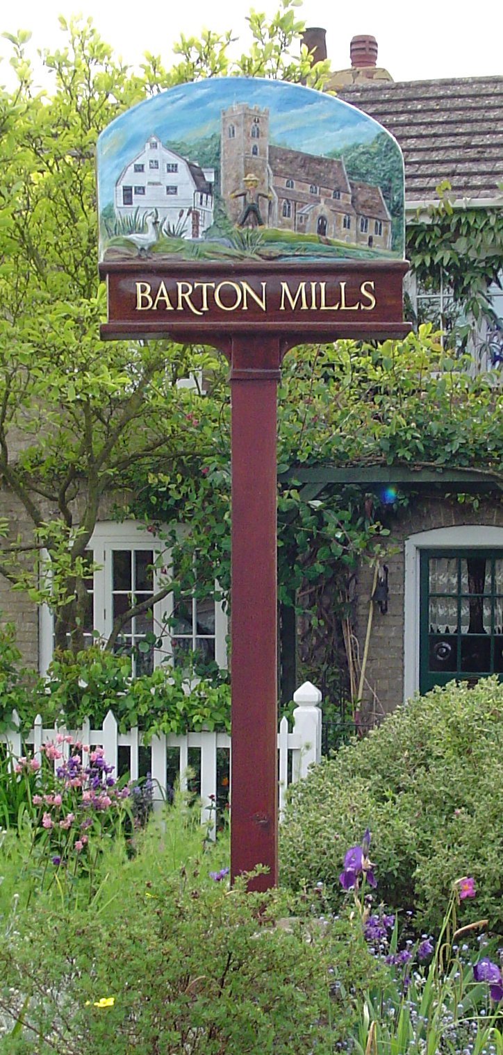
Barton Mills
Settlement in Suffolk West Suffolk
England
Barton Mills

Barton Mills is a small village located in the county of Suffolk, England. Situated on the River Lark, it is part of the Forest Heath district and lies approximately five miles northwest of the town of Mildenhall.
The village is known for its picturesque setting, surrounded by beautiful countryside and offering a tranquil and idyllic atmosphere. It is home to a population of around 1,000 residents, and the community is tight-knit and welcoming.
Barton Mills has a rich history dating back to Roman times, with evidence of a Roman settlement in the area. The village played a significant role during World War II, being the site of a Royal Air Force base that was used by the United States Army Air Forces.
Today, Barton Mills boasts a range of amenities and facilities for its residents and visitors. There are several local shops, a post office, and a primary school, making it a convenient place to live. The village also has a number of pubs and restaurants, offering a variety of dining options.
For those who enjoy the outdoors, Barton Mills offers numerous opportunities for leisure activities. The nearby River Lark provides picturesque walking paths and fishing spots, while the surrounding countryside is perfect for hiking and cycling.
Overall, Barton Mills is a charming village with a rich history and a close-knit community. Its beautiful setting and range of amenities make it an appealing place to live or visit in Suffolk.
If you have any feedback on the listing, please let us know in the comments section below.
Barton Mills Images
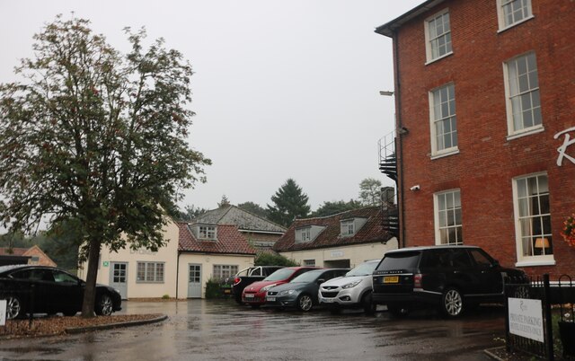
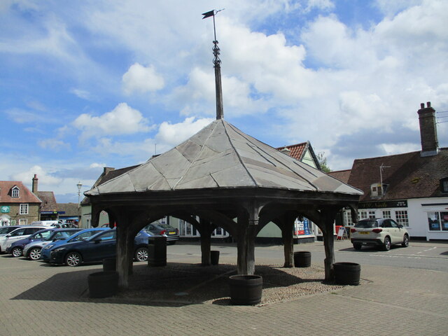
Images are sourced within 2km of 52.335175/0.518287 or Grid Reference TL7173. Thanks to Geograph Open Source API. All images are credited.


Barton Mills is located at Grid Ref: TL7173 (Lat: 52.335175, Lng: 0.518287)
Administrative County: Suffolk
District: West Suffolk
Police Authority: Suffolk
What 3 Words
///remain.promise.reclining. Near Mildenhall, Suffolk
Nearby Locations
Related Wikis
Barton Mills
Barton Mills is a village and civil parish in the West Suffolk district of Suffolk, England. The village is on the south bank of the River Lark. According...

Norah Hanbury-Kelk Meadows
Norah Hanbury-Kelk Meadows is an eight hectare nature reserve in Barton Mills in Suffolk. It is managed by the Suffolk Wildlife Trust.These wet meadows...

Barton Mills Valley
Barton Mills Valley is a 10.7 hectare Local Nature Reserve in Mildenhall in Suffolk. It is owned and managed by West Suffolk Council. The site is in Breckland...
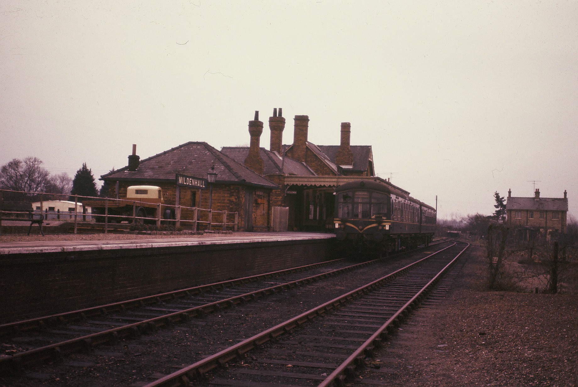
Mildenhall railway station
Mildenhall railway station is a disused railway station that was the terminus of the closed Cambridge to Mildenhall railway. It served the market town...
Nearby Amenities
Located within 500m of 52.335175,0.518287Have you been to Barton Mills?
Leave your review of Barton Mills below (or comments, questions and feedback).