Barton in Fabis

Settlement in Nottinghamshire Rushcliffe

England

Barton in Fabis

Green Street The road was surprisingly busy but this view just has a lone cyclist heading towards the camera.
Green Street Credit: Malcolm Neal

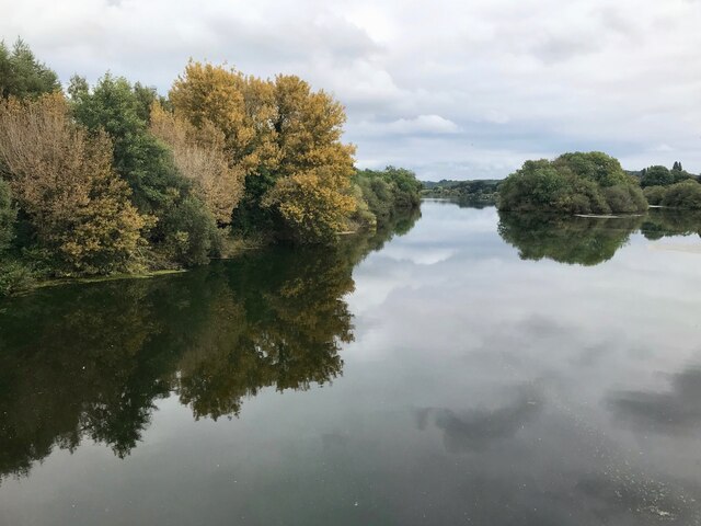
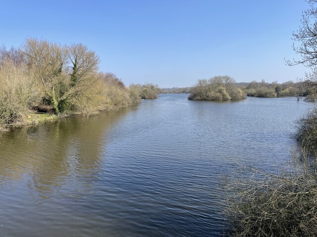
Barton in Fabis is a small village located in the borough of Rushcliffe in Nottinghamshire, England. Situated approximately 7 miles southwest of Nottingham city center, the village is nestled along the banks of the River Trent.

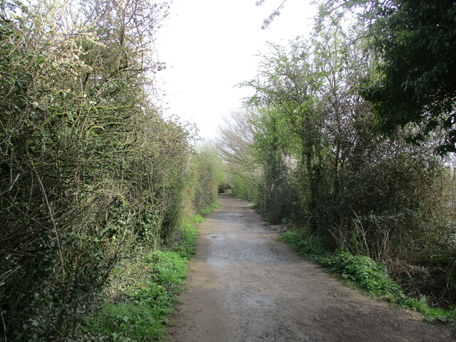
With a population of around 200 residents, Barton in Fabis is a quiet and picturesque village known for its rural charm. The area is predominantly comprised of traditional English cottages and farmhouses, giving it a quaint and idyllic feel.

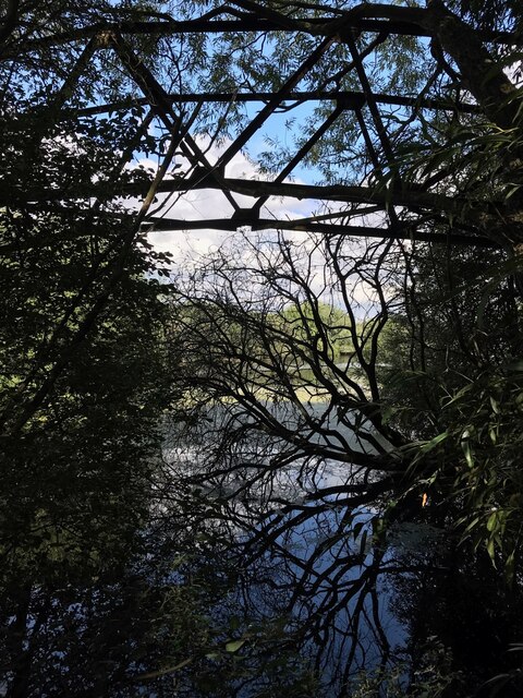
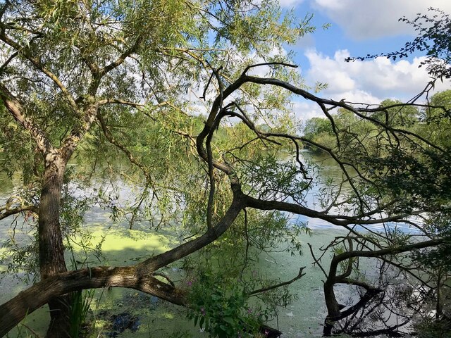
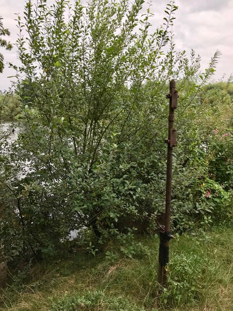
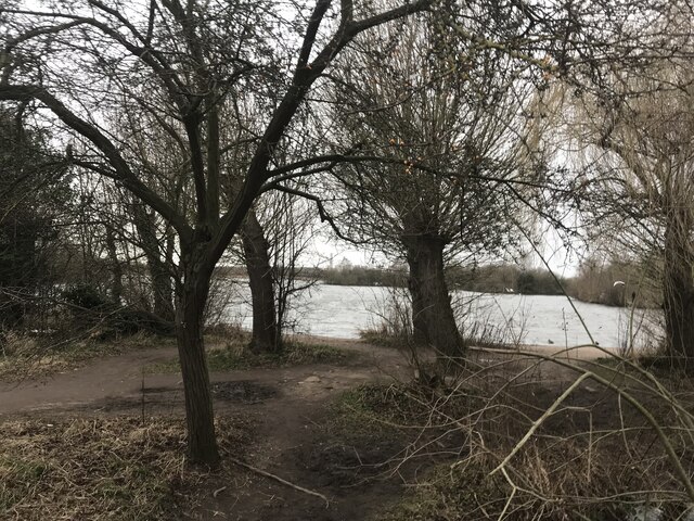
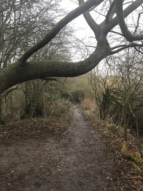
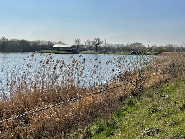
The village is surrounded by lush green countryside, making it a popular destination for nature enthusiasts and outdoor activities. The nearby Attenborough Nature Reserve, spanning over 360 acres, offers a haven for birdwatching and wildlife spotting. The reserve boasts a variety of habitats, including wetlands, grasslands, and woodlands, making it a diverse and rich ecosystem.

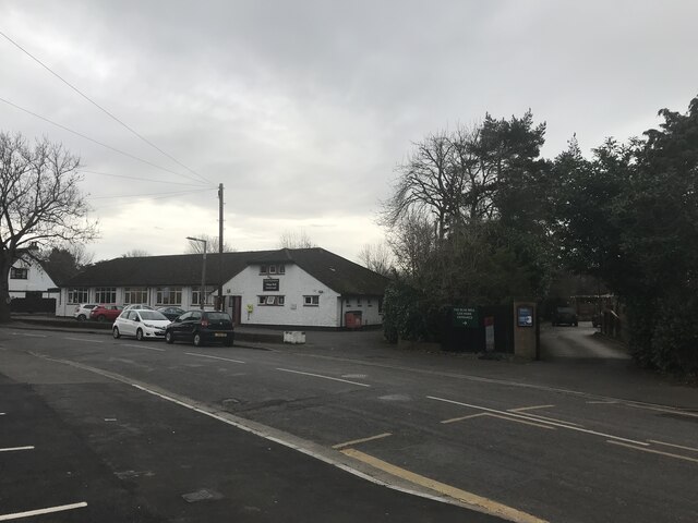
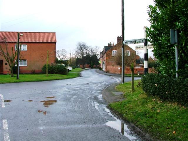
Despite its small size, Barton in Fabis has a strong sense of community, with various local amenities available to its residents. These include a village hall, a primary school, and a pub, which serves as a gathering place for locals and visitors alike.

Transport links to Barton in Fabis are accessible, with regular bus services connecting the village to nearby towns and cities. The village is also conveniently located near major road networks, such as the A453 and the M1 motorway, providing easy access to the wider region.

Overall, Barton in Fabis offers a tranquil and picturesque setting, perfect for those seeking a peaceful retreat within close proximity to urban amenities.

If you have any feedback on the listing, please let us know in the comments section below.

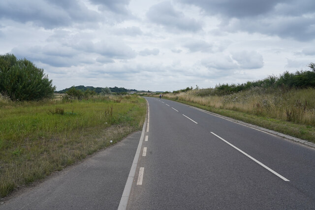
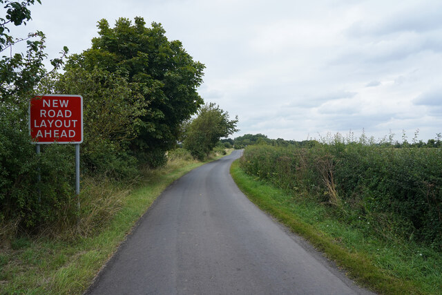
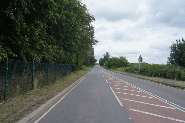
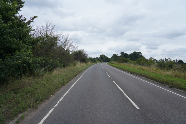
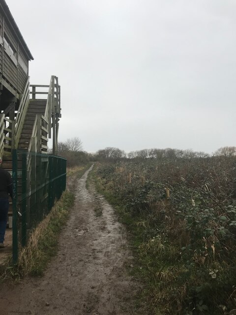
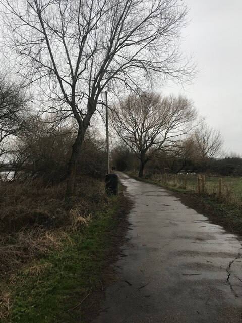
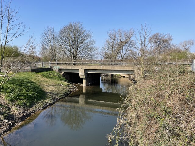
Barton in Fabis Images

Images are sourced within 2km of 52.891612/-1.222332 or Grid Reference SK5232. Thanks to Geograph Open Source API. All images are credited.

Green Street The road was surprisingly busy but this view just has a lone cyclist heading towards the camera.
Green Street
The road was surprisingly busy but this view just has a lone cyclist heading towards the camera.
Manor Road The road leads to the small village of Barton in Fabis.
Manor Road
The road leads to the small village of Barton in Fabis.
Green Street Opposite is the entrance to a farm with a warning that is for the farm only!
Green Street
Opposite is the entrance to a farm with a warning that is for the farm only!
Green Lane A minor road which runs parallel to the A453 Remembrance Way.
Green Lane
A minor road which runs parallel to the A453 Remembrance Way.
Old footbridge I'm amazed to see that this is still marked as such on the OS map.  The channel here has been funded for at least 20 years, and the steel bridge frame is slowly rotting.  Here it is 12 years ago <a href="https://www.geograph.org.uk/photo/1222212">SK5233 : Old Footbridge Attenborough</a>
Old footbridge
I'm amazed to see that this is still marked as such on the OS map. The channel here has been funded for at least 20 years, and the steel bridge frame is slowly rotting. Here it is 12 years ago SK5233 : Old Footbridge Attenborough
Attenborough willows
Rusty pole This spot looks quite a lot different than 12 and a half years ago <a href="https://www.geograph.org.uk/photo/1222216">SK5234 : Private Fishing on the Trent</a>. Or even 9 <a href="https://www.geograph.org.uk/photo/3010857">SK5234 : Old fishing sign beside the Trent</a>
Rusty pole
This spot looks quite a lot different than 12 and a half years ago SK5234 : Private Fishing on the Trent. Or even 9 SK5234 : Old fishing sign beside the Trent
First autumn colours Attenborough Main Pond.
First autumn colours
Attenborough Main Pond.
Reflections of St. Mary's Looking across one of the smaller ponds in Attenborough Nature Reserve towards the nicely reflected church of St. Mary's in Ateenborough village.
Reflections of St. Mary's
Looking across one of the smaller ponds in Attenborough Nature Reserve towards the nicely reflected church of St. Mary's in Ateenborough village.
Bare trees and the lake
Attenborough Village Hall
Footpath in the Reserve
Beside Tower Hide
Beside Tower Hide
Footpath at Attenborough Nature Reserve
Railway bridge over River Erewash
Lake and Boating Club at Attenborough Nature Reserve
Wetlands, Attenborough Nature Reserve
Bridleway to Attenborough
Show me another place!

Barton in Fabis is located at Grid Ref: SK5232 (Lat: 52.891612, Lng: -1.222332)

Administrative County: Nottinghamshire

District: Rushcliffe

Police Authority: Nottinghamshire

What 3 Words

///cape.olive.region. Near Gotham, Nottinghamshire

Nearby Locations

Barton in Fabis

Related Wikis

Barton in Fabis

Barton in Fabis is a village and civil parish in the Rushcliffe district of Nottinghamshire. It has a population of about 250, being measured at 266 in...

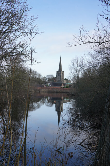
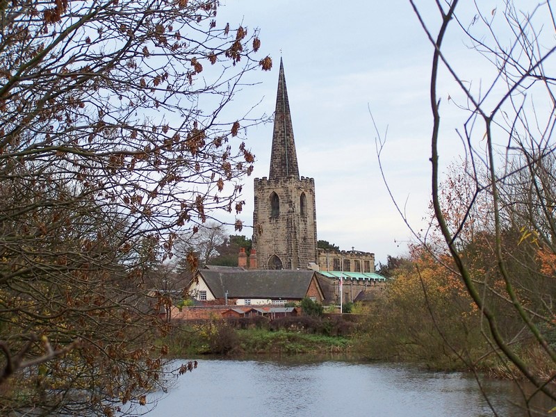
St George's Church, Barton in Fabis

St George's Church is a parish church in the Church of England in Barton in Fabis, Nottinghamshire. == History == The church is medieval and is a Grade...

Attenborough Nature Reserve

Attenborough Nature Reserve is a nature reserve at Attenborough, Nottinghamshire, England, located 5 mi (8 km) south west of Nottingham city centre. It...

St Mary's Church, Attenborough

St. Mary's Church, Attenborough is a parish church in the Church of England in the village of Attenborough, Nottinghamshire. The church is Grade I listed...

River Erewash

The River Erewash is a river in England, a tributary of the River Trent that flows roughly southwards through Derbyshire, close to its eastern border...

Attenborough, Nottinghamshire

Attenborough is a village in the Borough of Broxtowe in Nottinghamshire, England. It forms part of the Greater Nottingham area and is 4+1⁄2 miles (7.2...

Attenborough railway station

Attenborough railway station serves the village of Attenborough in Nottinghamshire, England. == History == Built as a halt known as Attenborough Gate in...

Trent Valley Way

The Trent Valley Way is a waymarked long-distance footpath in England following the River Trent and its valley in the counties of Nottinghamshire and...

Nearby Amenities

Located within 500m of 52.891612,-1.222332
Church Lane
Naptan AtcoCode: 3300RU0362
Naptan Bearing: SW
Naptan CommonName: Church Lane
Naptan Crossing: Church Lane
Naptan Indicator: opp
Naptan NaptanCode: ntsagatm
Naptan Notes: 3300RU0732-suggested stop -BW
Naptan Street: Manor Road
Naptan Verified: no
Physically Present: no
Source: naptan_import
Lat/Long: 52.8894398/-1.2245383
Church Lane
Naptan AtcoCode: 3300RU0732
Naptan Bearing: NE
Naptan BusStopType: CUS
Naptan CommonName: Church Lane
Naptan Crossing: Church Lane
Naptan Indicator: adj
Naptan NaptanCode: ntsgmjdm
Naptan Notes: CUS--3300RU0362
Naptan Street: Manor Road
Naptan Verified: no
Source: naptan_import
Lat/Long: 52.8895212/-1.2246111
Barrier: stile
Fixme: not sure if footpath uses this stile
Lat/Long: 52.8943652/-1.2194342
Post Box
Drive Through: no
Note: Really is the village post box despite being in the front garden of a private house Not surprising the front room of this hadjacent house used to be the post office
Operator: Royal Mail
Post Box Type: lamp
Ref: NG11 244
Royal Cypher: EIIR
Royal Cypher Wikidata: Q33102113
Source: survey
Lat/Long: 52.8888868/-1.2253189
Entrance: main
Lat/Long: 52.8896956/-1.224057
Booth: K6
Description: Disused red telephone box now containing a village history display
Disused Amenity: telephone
Information: board
Man Made: telephone_box
Source: survey
Tourism: information
Lat/Long: 52.8904374/-1.2220232
Bus Stop
Rectory Place
Bus: yes
Naptan AtcoCode: 3300RU0362
Naptan NaptanCode: ntsagatm
Public Transport: platform
Ref: RU0362
Shelter: yes
Source: survey
Lat/Long: 52.8885298/-1.2255234
Historic: memorial
Memorial: war_memorial
Memorial Conflict: WW1;WW2
Source: survey
Lat/Long: 52.8896694/-1.2249565
Entrance: main
Lat/Long: 52.889671/-1.2249991
Defibrillator
Defibrillator Location: Barton Village Hall
Emergency: defibrillator
Lat/Long: 52.8896913/-1.2239429
Bench
Lat/Long: 52.8896985/-1.2239723
Bus Stop
Rectory Place
Bus: yes
Public Transport: platform
Ref: RU0732
Source: survey
Lat/Long: 52.8885176/-1.2254042
Bench
Source: survey
Lat/Long: 52.8898096/-1.2241961
Note: Letterbox here for 'Sunset''
Lat/Long: 52.8909599/-1.2257494
Barton-in-Fabis
Place: village
Lat/Long: 52.8899172/-1.2252193
Dovecote Farm Shop
Addr City: Nottingham
Addr Housename: Manor Farm
Addr Housenumber: 21
Addr Postcode: NG11 0AA
Addr Street: Manor Road
Addr Suburb: Barton-in-Fabis
Fhrs Id: 375200
Shop: farm
Source: survey
Source Addr: Food Hygiene Open Data
Website: http://www.dovecotefarmshop.co.uk/
Lat/Long: 52.8888614/-1.2233436
Bench
Source: survey
Lat/Long: 52.8900321/-1.2201368
Generator Method: photovoltaic
Generator Output Electricity: yes
Generator Source: solar
Generator Type: solar_photovoltaic_panel
Location: roof
Power: generator
Lat/Long: 52.8899456/-1.2232877
Generator Method: photovoltaic
Generator Output Electricity: yes
Generator Source: solar
Generator Type: solar_photovoltaic_panel
Location: roof
Power: generator
Lat/Long: 52.8899434/-1.2240728
Cafe
Dovecote Barn Cafe
Addr Housenumber: 21
Addr Postcode: NG11 0AA
Addr Street: Manor Road
Old Fhrs Id: 1129784
Lat/Long: 52.8887757/-1.2233088
Defibrillator
Emergency: defibrillator
Indoor: no
Lat/Long: 52.8897008/-1.2240175
The data included in this document is from www.openstreetmap.org. The data is made available under ODbL.

Have you been to Barton in Fabis?

Leave your review of Barton in Fabis below (or comments, questions and feedback).