Bogha Bridog
Island in Inverness-shire
Scotland
Bogha Bridog
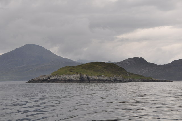
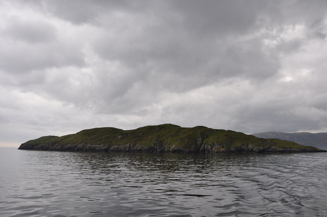
Bogha Bridog is a small island located off the west coast of Scotland in Inverness-shire. With an area of approximately 1 square kilometer, it is situated in the North Atlantic Ocean. The island is part of the Inner Hebrides archipelago, known for its stunning landscapes and rich history.
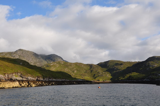
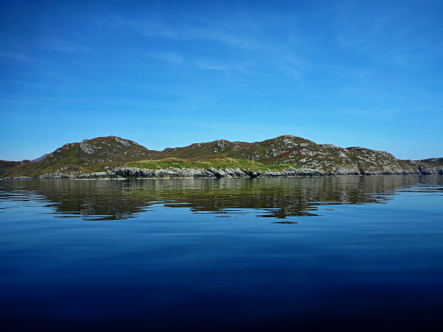
Bogha Bridog is characterized by its rugged terrain, consisting of rocky cliffs and rolling green hills. The island offers breathtaking views of the surrounding sea and neighboring islands. It is home to a variety of bird species, including puffins, guillemots, and razorbills, making it an ideal spot for birdwatching enthusiasts.
Despite its small size, Bogha Bridog has a rich history. It is believed to have been inhabited since ancient times, with archaeological evidence suggesting human presence dating back thousands of years. The island was once used as a fishing and farming community, and remnants of old stone structures can still be found today.
Access to Bogha Bridog is limited, with no permanent residents or public transportation available. However, it is a popular destination for nature lovers and those seeking a peaceful retreat. Visitors can reach the island by boat, either through private arrangements or guided tours.
Bogha Bridog offers a unique opportunity to experience the untamed beauty of the Scottish coast. With its stunning landscapes, diverse wildlife, and historical significance, this small island is a hidden gem waiting to be discovered by adventurous travelers.
If you have any feedback on the listing, please let us know in the comments section below.
Bogha Bridog Images
Images are sourced within 2km of 57.916128/-6.6472251 or Grid Reference NB2401. Thanks to Geograph Open Source API. All images are credited.


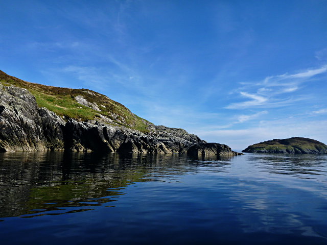

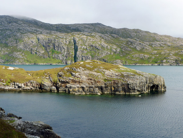
![Coastal View A coastal view taken on Sea Harris trip with the summit of Caiteshal [Caiteseal] in the distance and under cloud.](https://s2.geograph.org.uk/geophotos/03/68/61/3686198_2ccaa6ec.jpg)


Bogha Bridog is located at Grid Ref: NB2401 (Lat: 57.916128, Lng: -6.6472251)
Unitary Authority: Na h-Eileanan an Iar
Police Authority: Highlands and Islands
What 3 Words
///exhale.marginal.heartburn. Near Tarbert, Na h-Eileanan Siar
Nearby Locations
Related Wikis

Rèinigeadal
Rèinigeadal (or Rhenigidale) is a small settlement in Harris, in the Western Isles in Scotland. It is situated on the east coast of Harris 8 kilometres...

Loch Seaforth
Loch Seaforth (Scottish Gaelic: Loch Shiphoirt or Shìophoirt) is a sea loch in the Outer Hebrides of Scotland. It consists of three distinct sections;...

Scalpay, Outer Hebrides
Scalpay (; Scottish Gaelic: Sgalpaigh or Sgalpaigh na Hearadh; i.e. "Scalpay of Harris" to distinguish it from Scalpay off Skye) is an island in the Outer...
Eilean Glas, Scalpay
Eilean Glas is a peninsula of Scalpay in the Outer Hebrides, Scotland. Eilean Glas is home to a historic lighthouse. Eilean Glas means Grey/Green Island...

Eilean Glas Lighthouse
Eilean Glas Lighthouse is situated on the east coast of the island of Scalpay in the Outer Hebrides of Scotland. It was one of the original four lights...

Sgeotasaigh
Scotasay (Scottish Gaelic: Sgeotasaigh) is small island in the Outer Hebrides of Scotland. It lies 1 kilometre (0.6 miles) off the east coast of Harris...

East Loch Tarbert
East Loch Tarbert (Scottish Gaelic: Loch an Tairbeairt) is a sea loch that lies to the east of Harris in the Outer Hebrides of Scotland. The loch contains...

Harris distillery
Harris distillery is a Scotch whisky and Gin distillery in Tarbert on the Isle of Harris, Scotland. The distillery was the first legal distillery ever...
Nearby Amenities
Located within 500m of 57.916128,-6.6472251Have you been to Bogha Bridog?
Leave your review of Bogha Bridog below (or comments, questions and feedback).