Rubha Briodog

Coastal Feature, Headland, Point in Ross-shire

Scotland

Rubha Briodog

Rhenigidale, Harris
Rhenigidale, Harris Credit: Colin Park

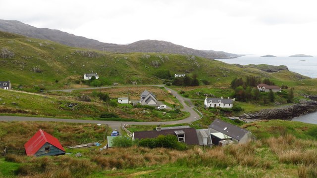
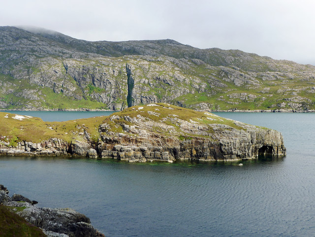
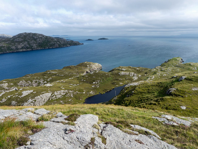
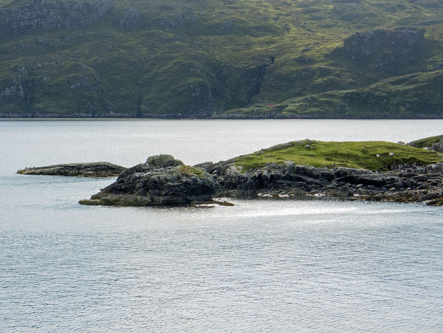
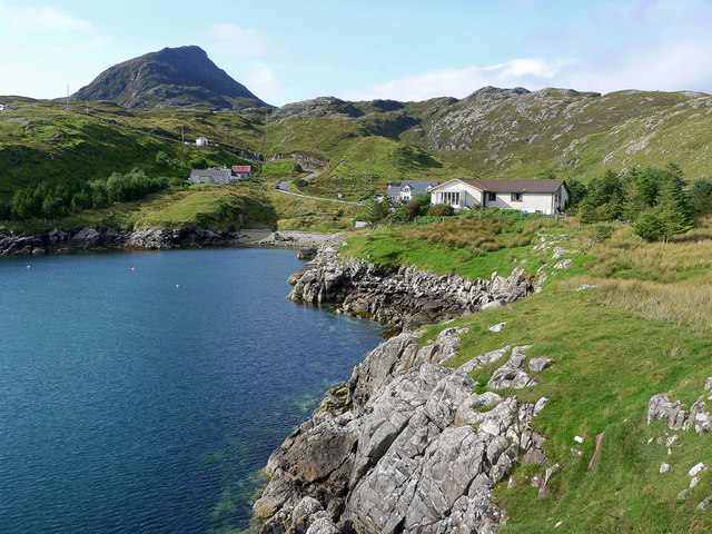
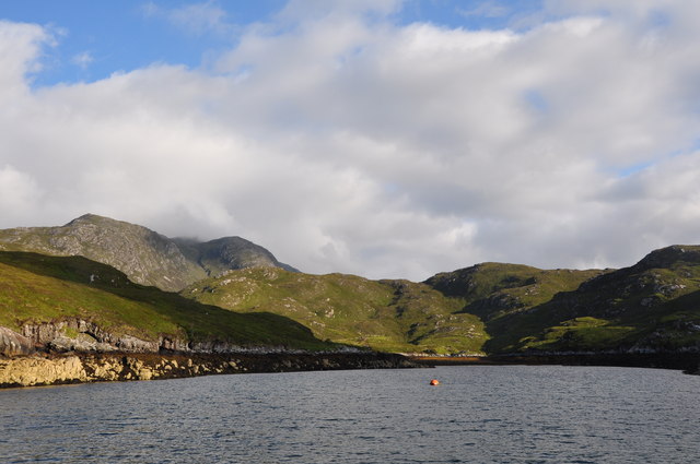
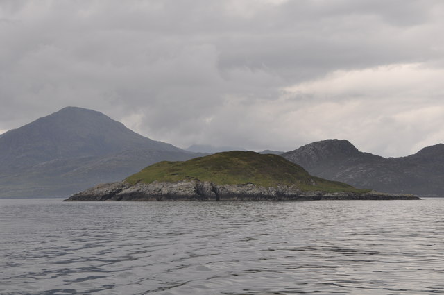
Rubha Briodog is a prominent headland located in Ross-shire, Scotland. Situated along the picturesque coastline, this coastal feature extends out into the North Sea, offering breathtaking views and a unique geological landscape. The headland is characterized by its rugged cliffs, which rise steeply from the sea, creating an impressive sight.

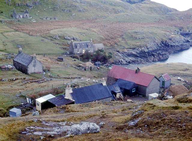
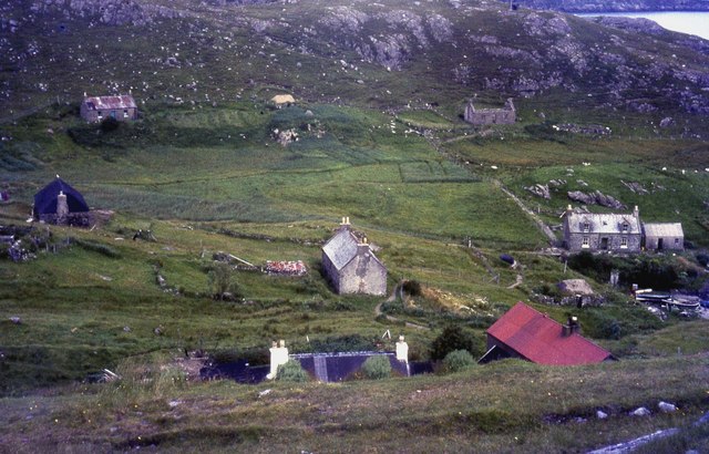
The point is known for its diverse wildlife, making it a popular spot for nature enthusiasts. Seabirds, including gulls, puffins, and cormorants, can often be spotted nesting along the cliffs, while seals and dolphins can be seen swimming in the surrounding waters. The area is also home to several species of plants and flowers that thrive in the coastal environment.

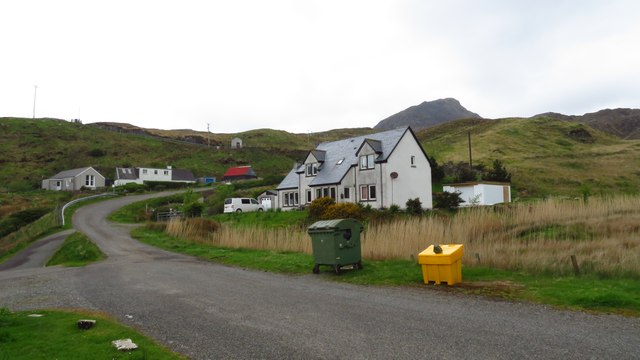
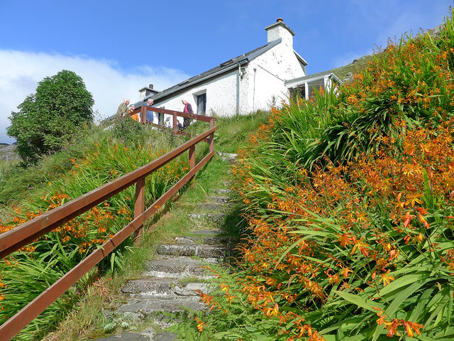
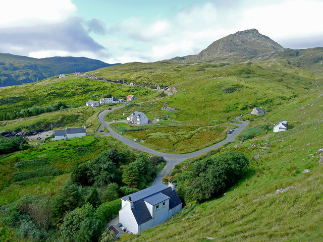
Rubha Briodog is easily accessible, with a well-maintained walking path leading to the headland. The trail offers visitors an opportunity to explore the area's natural beauty while enjoying panoramic views of the sea. At the end of the headland, there is a small lighthouse that serves as a navigational aid for seafarers.

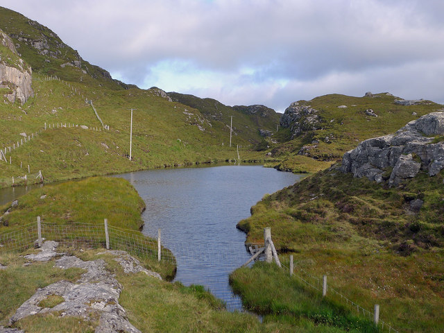
The headland's exposed location means that it can experience strong winds and rough seas, creating a dynamic and ever-changing environment. The crashing waves against the cliffs and the sound of seabirds create a sense of tranquility and natural beauty.

Overall, Rubha Briodog is a captivating coastal feature that showcases the raw power of nature. With its stunning cliffs, diverse wildlife, and breathtaking views, it is a must-visit destination for anyone exploring the Ross-shire coastline.

If you have any feedback on the listing, please let us know in the comments section below.

Rubha Briodog Images

Images are sourced within 2km of 57.918315/-6.6499083 or Grid Reference NB2401. Thanks to Geograph Open Source API. All images are credited.

Rhenigidale, Harris
Rhenigidale, Harris
Rhenigidale, Harris
Rhenigidale, Harris
Water source for Rhenigidale before mains water The small lake still has the pipework for delivering the water to Rhenigidale, but now the village is on the mains.
Water source for Rhenigidale before mains water
The small lake still has the pipework for delivering the water to Rhenigidale, but now the village is on the mains.
Path to the entrance to Rhenigidale Hostel Rhenigidale Hostel is owned by a charity - the Gatliff Hebridean Hostels Trust - and has been open for over 50 years.  The Gatliff Trust is affiliated to the SYHA.
Path to the entrance to Rhenigidale Hostel
Rhenigidale Hostel is owned by a charity - the Gatliff Hebridean Hostels Trust - and has been open for over 50 years. The Gatliff Trust is affiliated to the SYHA.
Rubha na h-Uamha  This headland has a cave and juts into Loch Seaforth.
Rubha na h-Uamha
This headland has a cave and juts into Loch Seaforth.
The entrance to Loch Seaforth from Druim Caol A bright afternoon to enjoy the coastal and mountain scenery of Rhenigidale.
The entrance to Loch Seaforth from Druim Caol
A bright afternoon to enjoy the coastal and mountain scenery of Rhenigidale.
Looking across Port Rhenigidale Beyond the entrance to Rhenigidale lies Loch Trolamaraig.
Looking across Port Rhenigidale
Beyond the entrance to Rhenigidale lies Loch Trolamaraig.
The hamlet of Rhenigidale All but one of the houses of Rhenigidale are visible here.  The school bus calls daily in term time and on demand in the school holidays.  There is a postbox, a self catering cottage and the Gatliff Trust Youth Hostel. The Hostel Warden lives here as does the last postman who did the daily walk along the "Postman's Path" from Urgha on the Tarbert to Scalpay Road.

The mountain Toddun dominates the village.  The trees and road  are recent additions to the village.
The hamlet of Rhenigidale
All but one of the houses of Rhenigidale are visible here. The school bus calls daily in term time and on demand in the school holidays. There is a postbox, a self catering cottage and the Gatliff Trust Youth Hostel. The Hostel Warden lives here as does the last postman who did the daily walk along the "Postman's Path" from Urgha on the Tarbert to Scalpay Road. The mountain Toddun dominates the village. The trees and road are recent additions to the village.
Rhenigidale from the headland of Rubha Glas 2015 A similar viewpoint to <a href="https://www.geograph.org.uk/photo/330137">NB2301 : Coastline SE of Rhenigidale</a> taken in the 1980s.  Note the two new modern houses, the new road, the introduction of trees and, not so obvious but apparent on the ground, vast numbers of fences fencing parcels of land around the village.

The Youth Hostel is hidden by the woodland - not so in the earlier image.  Unchanging is the weather and the mass of Toddun overlooking the village.
Rhenigidale from the headland of Rubha Glas 2015
A similar viewpoint to NB2301 : Coastline SE of Rhenigidale taken in the 1980s. Note the two new modern houses, the new road, the introduction of trees and, not so obvious but apparent on the ground, vast numbers of fences fencing parcels of land around the village. The Youth Hostel is hidden by the woodland - not so in the earlier image. Unchanging is the weather and the mass of Toddun overlooking the village.
Reinigeadal
Reinigeadal
Rhenigidale
Rhenigidale
Gatliff Trust Hostel Gatliff Trust Hostel at Rhenigidale.
Gatliff Trust Hostel
Gatliff Trust Hostel at Rhenigidale.
Loch Bagh Reimseabhaidh Head of Loch
Loch Bagh Reimseabhaidh
Head of Loch
Eilean Dubh a' Bhàigh Todun Hill prominent in background
Eilean Dubh a' Bhàigh
Todun Hill prominent in background
The beach at Rhenigidale A quiet evening at one of the quietest places in Harris.
The beach at Rhenigidale
A quiet evening at one of the quietest places in Harris.
Port Reinigeadal / Rhenigidale The community of Reinigeadal lies at the end of a lane which has run between the mountain of Tòdun and Loch Siophort (Seaforth) on North Harris. I think the distant land which can be seen on the horizon must be the Trotternish peninsula of the Isle of Skye.
Port Reinigeadal / Rhenigidale
The community of Reinigeadal lies at the end of a lane which has run between the mountain of Tòdun and Loch Siophort (Seaforth) on North Harris. I think the distant land which can be seen on the horizon must be the Trotternish peninsula of the Isle of Skye.
The Common Room of the Gatliff Trust Hostel at Rhenigidale The Rhenigidale hostel is owned by the Gatliff Trust and welcomes visitors from around the world.  It is proudly a One Star hostel that has little changed its internal appearance in its 49 years of existence. In 1990 for the first time a road connected the hostel with the outside world while before then all hostellers had to walk in or be ferried in by sea.  Here three French University students are relaxing after an evening meal and discussing international politics.
The Common Room of the Gatliff Trust Hostel at Rhenigidale
The Rhenigidale hostel is owned by the Gatliff Trust and welcomes visitors from around the world. It is proudly a One Star hostel that has little changed its internal appearance in its 49 years of existence. In 1990 for the first time a road connected the hostel with the outside world while before then all hostellers had to walk in or be ferried in by sea. Here three French University students are relaxing after an evening meal and discussing international politics.
Gatliff Trust Hostel at Rhenigidale Today a road and parking space are located below the hostel.  But before 1990 there was no road to Rhenigidale. Here is the hostel in 1986 before the road was built and an extra warm welcome would await those who had walked over the hills from Tarbert to stay at the hostel.
Gatliff Trust Hostel at Rhenigidale
Today a road and parking space are located below the hostel. But before 1990 there was no road to Rhenigidale. Here is the hostel in 1986 before the road was built and an extra warm welcome would await those who had walked over the hills from Tarbert to stay at the hostel.
Show me another place!

Rubha Briodog is located at Grid Ref: NB2401 (Lat: 57.918315, Lng: -6.6499083)

Unitary Authority: Na h-Eileanan an Iar

Police Authority: Highlands and Islands

What 3 Words

///pony.electrode.mild. Near Tarbert, Na h-Eileanan Siar

Related Wikis

Rèinigeadal

Rèinigeadal (or Rhenigidale) is a small settlement in Harris, in the Western Isles in Scotland. It is situated on the east coast of Harris 8 kilometres...

Loch Seaforth

Loch Seaforth (Scottish Gaelic: Loch Shiphoirt or Shìophoirt) is a sea loch in the Outer Hebrides of Scotland. It consists of three distinct sections;...

Scalpay, Outer Hebrides

Scalpay (; Scottish Gaelic: Sgalpaigh or Sgalpaigh na Hearadh; i.e. "Scalpay of Harris" to distinguish it from Scalpay off Skye) is an island in the Outer...

Eilean Glas, Scalpay

Eilean Glas is a peninsula of Scalpay in the Outer Hebrides, Scotland. Eilean Glas is home to a historic lighthouse. Eilean Glas means Grey/Green Island...

Nearby Amenities

Located within 500m of 57.918315,-6.6499083
Rubha Bridog
Natural: cape
Lat/Long: 57.9179651/-6.6488335
The data included in this document is from www.openstreetmap.org. The data is made available under ODbL.

Have you been to Rubha Briodog?

Leave your review of Rubha Briodog below (or comments, questions and feedback).