Sgeir Hal

Island in Inverness-shire

Scotland

Sgeir Hal

Junction with Postman's Path, west of Rhenigidale
Junction with Postman's Path, west of Rhenigidale Credit: Colin Park

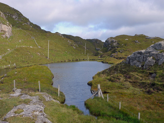
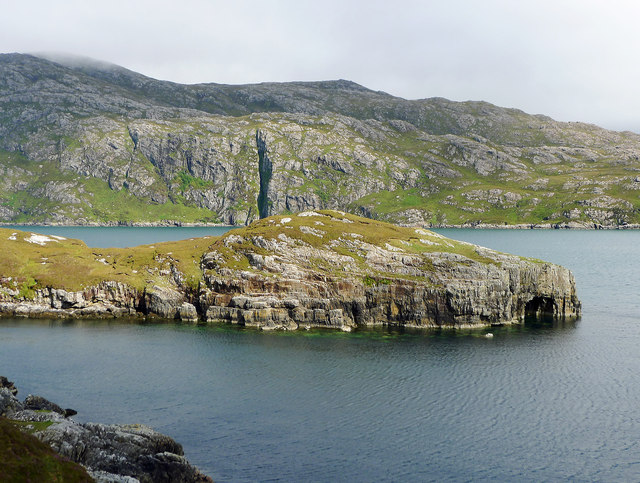
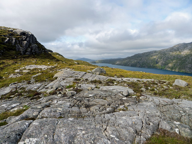
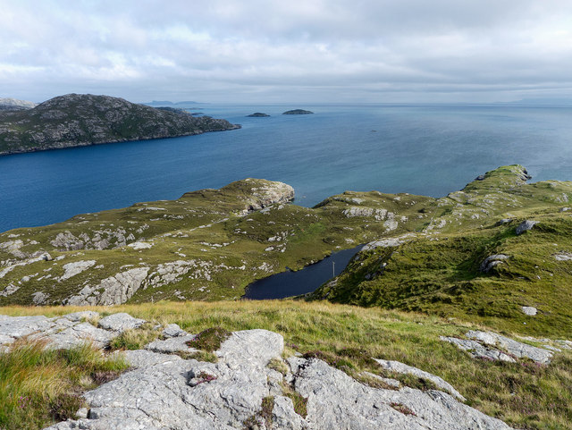
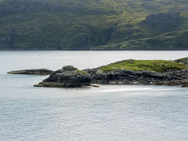
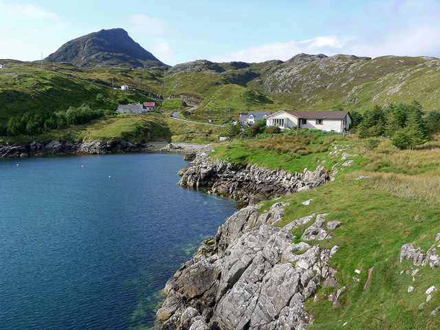
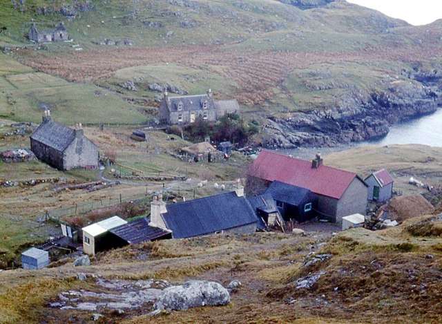
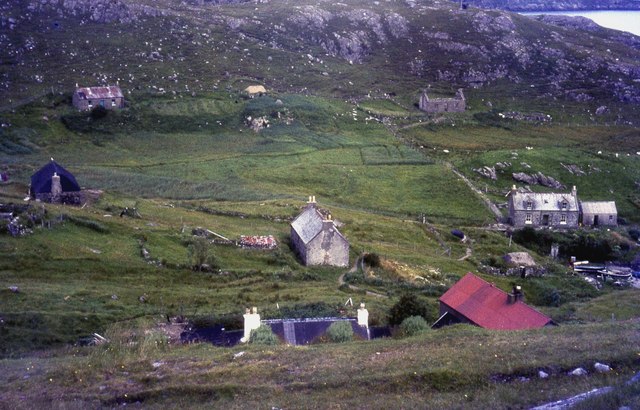
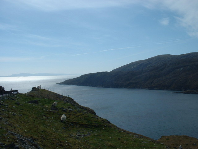
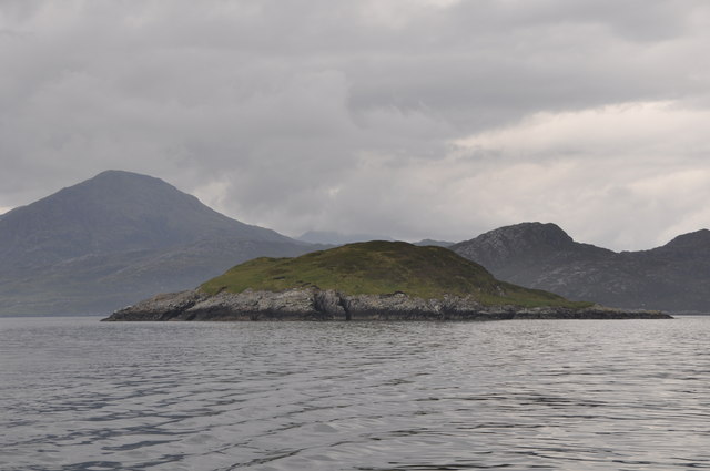
Sgeir Hal is a small, uninhabited island located off the coast of Inverness-shire in Scotland. Situated in the Moray Firth, it is part of a group of islands known as the Sgeir Hal Rocks. The island is characterized by its rocky terrain and is home to a variety of marine wildlife.

Covering an area of approximately 0.2 hectares, Sgeir Hal has no vegetation and is primarily composed of rugged cliffs and rock formations. The island is accessible by boat, and visitors often come to explore its unique geological features and observe the diverse array of bird species that inhabit the area.

The waters surrounding Sgeir Hal are rich in marine life, making it a popular spot for diving and snorkeling enthusiasts. Underwater, divers can observe vibrant coral reefs, kelp forests, and a variety of fish species.

Sgeir Hal is also renowned for its bird colonies, providing nesting sites for species such as guillemots, razorbills, and puffins. During the breeding season, the island becomes a hub of activity as birds gather to lay their eggs and rear their young.

Due to its remote location and lack of facilities, Sgeir Hal is not suitable for overnight stays or extended visits. However, its natural beauty and abundant wildlife make it a favorite destination for day trips and nature enthusiasts seeking an immersive experience in the Scottish wilderness.

If you have any feedback on the listing, please let us know in the comments section below.

Sgeir Hal Images

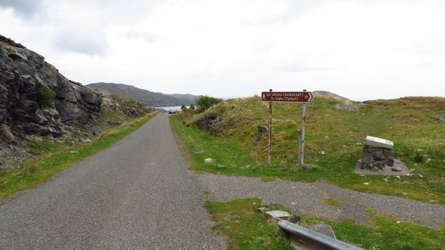
Images are sourced within 2km of 57.91413/-6.6580537 or Grid Reference NB2401. Thanks to Geograph Open Source API. All images are credited.

Junction with Postman's Path, west of Rhenigidale
Rhenigidale, Harris
Rhenigidale, Harris
Rhenigidale, Harris
Rhenigidale, Harris
Postman's Path between Rhenigidale to Gearraidh Lotaigear
Water source for Rhenigidale before mains water The small lake still has the pipework for delivering the water to Rhenigidale, but now the village is on the mains.
Water source for Rhenigidale before mains water
The small lake still has the pipework for delivering the water to Rhenigidale, but now the village is on the mains.
Path to the entrance to Rhenigidale Hostel Rhenigidale Hostel is owned by a charity - the Gatliff Hebridean Hostels Trust - and has been open for over 50 years.  The Gatliff Trust is affiliated to the SYHA.
Path to the entrance to Rhenigidale Hostel
Rhenigidale Hostel is owned by a charity - the Gatliff Hebridean Hostels Trust - and has been open for over 50 years. The Gatliff Trust is affiliated to the SYHA.
Rubha na h-Uamha  This headland has a cave and juts into Loch Seaforth.
Rubha na h-Uamha
This headland has a cave and juts into Loch Seaforth.
Gearraidh Mhurchaidh A well restored cottage that may be accessed by a minor path from Rhenigidale or by boat to a small pier far below the cottage.  A "railway"connects the pier to the lawn beside the house allowing supplies to be easily taken up to the house.
Gearraidh Mhurchaidh
A well restored cottage that may be accessed by a minor path from Rhenigidale or by boat to a small pier far below the cottage. A "railway"connects the pier to the lawn beside the house allowing supplies to be easily taken up to the house.
Mountain terrain above Loch Seaforth The rock outcrops made for easier walking than the heather of the hillside. The east side of Loch Seaforth is seen as being excessively steep.
Mountain terrain above Loch Seaforth
The rock outcrops made for easier walking than the heather of the hillside. The east side of Loch Seaforth is seen as being excessively steep.
The entrance to Loch Seaforth from Druim Caol A bright afternoon to enjoy the coastal and mountain scenery of Rhenigidale.
The entrance to Loch Seaforth from Druim Caol
A bright afternoon to enjoy the coastal and mountain scenery of Rhenigidale.
Looking across Port Rhenigidale Beyond the entrance to Rhenigidale lies Loch Trolamaraig.
Looking across Port Rhenigidale
Beyond the entrance to Rhenigidale lies Loch Trolamaraig.
The hamlet of Rhenigidale All but one of the houses of Rhenigidale are visible here.  The school bus calls daily in term time and on demand in the school holidays.  There is a postbox, a self catering cottage and the Gatliff Trust Youth Hostel. The Hostel Warden lives here as does the last postman who did the daily walk along the "Postman's Path" from Urgha on the Tarbert to Scalpay Road.

The mountain Toddun dominates the village.  The trees and road  are recent additions to the village.
The hamlet of Rhenigidale
All but one of the houses of Rhenigidale are visible here. The school bus calls daily in term time and on demand in the school holidays. There is a postbox, a self catering cottage and the Gatliff Trust Youth Hostel. The Hostel Warden lives here as does the last postman who did the daily walk along the "Postman's Path" from Urgha on the Tarbert to Scalpay Road. The mountain Toddun dominates the village. The trees and road are recent additions to the village.
Rhenigidale from the headland of Rubha Glas 2015 A similar viewpoint to <a href="https://www.geograph.org.uk/photo/330137">NB2301 : Coastline SE of Rhenigidale</a> taken in the 1980s.  Note the two new modern houses, the new road, the introduction of trees and, not so obvious but apparent on the ground, vast numbers of fences fencing parcels of land around the village.

The Youth Hostel is hidden by the woodland - not so in the earlier image.  Unchanging is the weather and the mass of Toddun overlooking the village.
Rhenigidale from the headland of Rubha Glas 2015
A similar viewpoint to NB2301 : Coastline SE of Rhenigidale taken in the 1980s. Note the two new modern houses, the new road, the introduction of trees and, not so obvious but apparent on the ground, vast numbers of fences fencing parcels of land around the village. The Youth Hostel is hidden by the woodland - not so in the earlier image. Unchanging is the weather and the mass of Toddun overlooking the village.
Reinigeadal
Reinigeadal
Rhenigidale
Rhenigidale
Gatliff Trust Hostel Gatliff Trust Hostel at Rhenigidale.
Gatliff Trust Hostel
Gatliff Trust Hostel at Rhenigidale.
Loch Trolamaraig View south from unfinished picnic table area, eastern slope to Leac Easgadil on right, road to Reinigeadal built in 1990 to left, Skye in distance.
Loch Trolamaraig
View south from unfinished picnic table area, eastern slope to Leac Easgadil on right, road to Reinigeadal built in 1990 to left, Skye in distance.
Eilean Dubh a' Bhàigh Todun Hill prominent in background
Eilean Dubh a' Bhàigh
Todun Hill prominent in background
Show me another place!

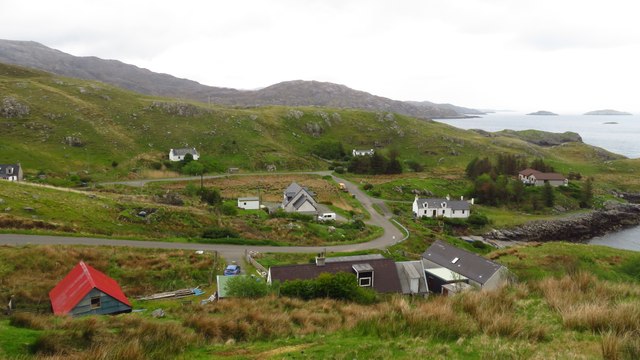
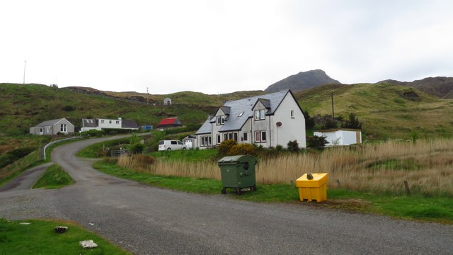
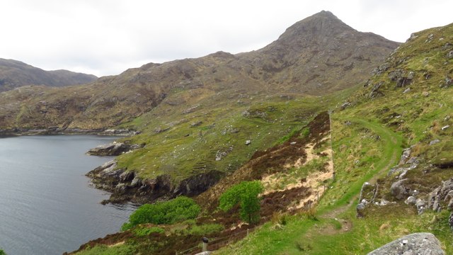
Sgeir Hal is located at Grid Ref: NB2401 (Lat: 57.91413, Lng: -6.6580537)

Unitary Authority: Na h-Eileanan an Iar

Police Authority: Highlands and Islands

What 3 Words

///steady.lunching.tastier. Near Tarbert, Na h-Eileanan Siar

Related Wikis

Rèinigeadal

Rèinigeadal (or Rhenigidale) is a small settlement in Harris, in the Western Isles in Scotland. It is situated on the east coast of Harris 8 kilometres...

Loch Seaforth

Loch Seaforth (Scottish Gaelic: Loch Shiphoirt or Shìophoirt) is a sea loch in the Outer Hebrides of Scotland. It consists of three distinct sections;...

Scalpay, Outer Hebrides

Scalpay (; Scottish Gaelic: Sgalpaigh or Sgalpaigh na Hearadh; i.e. "Scalpay of Harris" to distinguish it from Scalpay off Skye) is an island in the Outer...

Eilean Glas, Scalpay

Eilean Glas is a peninsula of Scalpay in the Outer Hebrides, Scotland. Eilean Glas is home to a historic lighthouse. Eilean Glas means Grey/Green Island...

Eilean Glas Lighthouse

Eilean Glas Lighthouse is situated on the east coast of the island of Scalpay in the Outer Hebrides of Scotland. It was one of the original four lights...

Sgeotasaigh

Scotasay (Scottish Gaelic: Sgeotasaigh) is small island in the Outer Hebrides of Scotland. It lies 1 kilometre (0.6 miles) off the east coast of Harris...

East Loch Tarbert

East Loch Tarbert (Scottish Gaelic: Loch an Tairbeairt) is a sea loch that lies to the east of Harris in the Outer Hebrides of Scotland. The loch contains...

Harris distillery

Harris distillery is a Scotch whisky and Gin distillery in Tarbert on the Isle of Harris, Scotland. The distillery was the first legal distillery ever...

Have you been to Sgeir Hal?

Leave your review of Sgeir Hal below (or comments, questions and feedback).