Barton Green

Settlement in Staffordshire East Staffordshire

England

Barton Green

The Barton Turns Inn This public house lies on the Barton Turn road, between the A38 and the Trent and Mersey canal. The Way for the Millennium passes in front of this Inn.
The Barton Turns Inn Credit: Mick Malpass

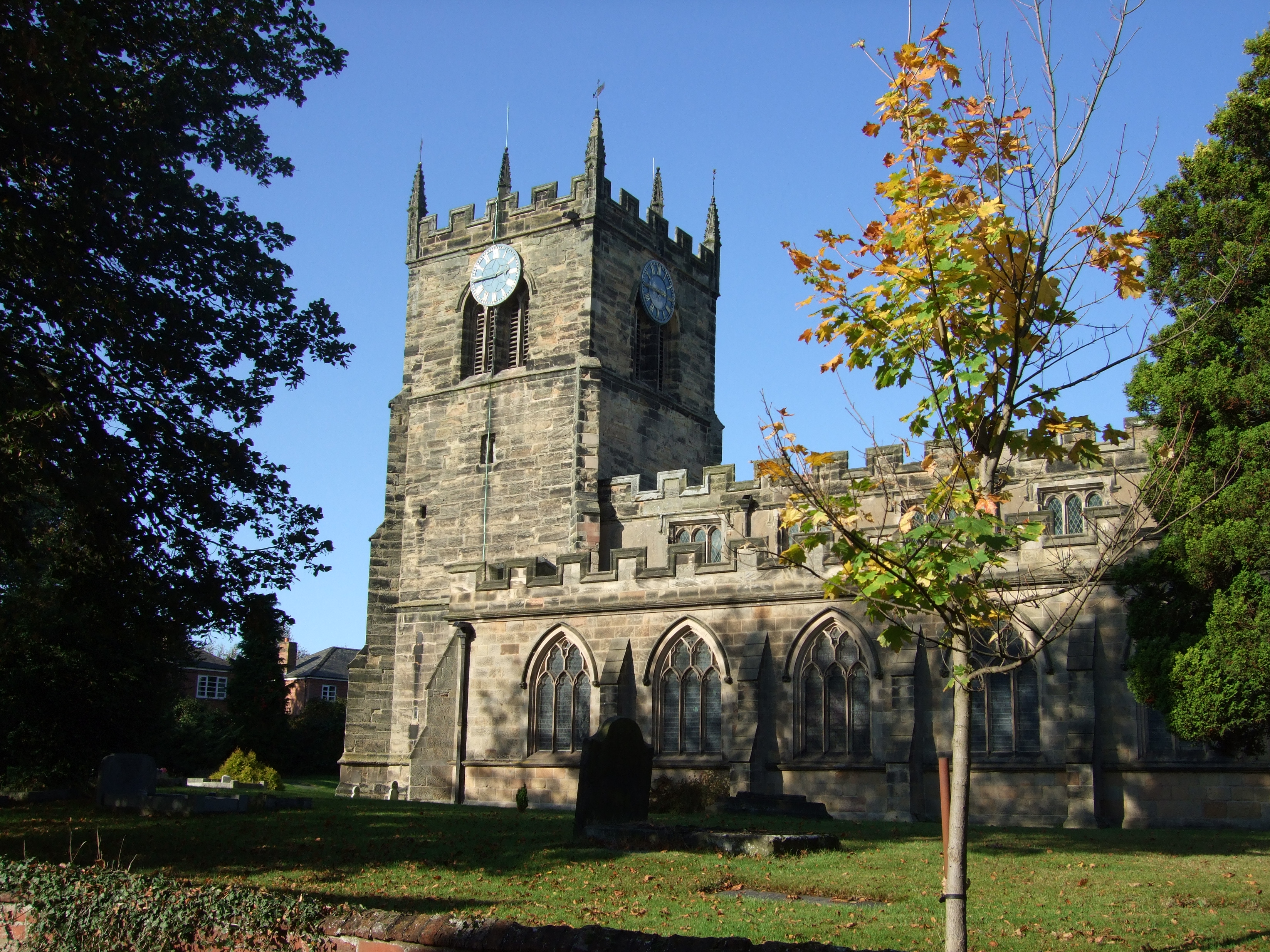
Barton Green is a small village located in the county of Staffordshire, England. Situated approximately 8 miles east of Stafford, it is known for its picturesque countryside and tranquil atmosphere. The village is surrounded by rolling hills, lush green fields, and scattered woodlands, making it an attractive destination for nature enthusiasts and those seeking a peaceful retreat.

The village itself is characterized by a charming blend of traditional and modern architecture. It features a mix of quaint cottages, farmhouses, and more contemporary houses, providing a diverse range of housing options. The local community is tight-knit, with a population of around 500 residents who enjoy a close proximity to nature while still being within easy reach of nearby towns and amenities.

Barton Green offers a variety of recreational activities for its residents and visitors. The village boasts several well-maintained walking trails, allowing visitors to explore the surrounding countryside and take in the scenic views. Additionally, the nearby Cannock Chase Area of Outstanding Natural Beauty provides opportunities for outdoor pursuits such as cycling, horseback riding, and birdwatching.

For those seeking cultural experiences, Barton Green is conveniently located near Stafford, which offers a range of attractions including Stafford Castle, Ancient High House, and the Shire Hall Gallery. The village is also within driving distance of the bustling cities of Birmingham and Stoke-on-Trent, with their extensive shopping, dining, and entertainment options.

Overall, Barton Green is a charming village that offers a peaceful and picturesque setting, making it an ideal place to live or visit for those looking to escape the hustle and bustle of city life.

If you have any feedback on the listing, please let us know in the comments section below.

Barton Green Images

Images are sourced within 2km of 52.759279/-1.731458 or Grid Reference SK1818. Thanks to Geograph Open Source API. All images are credited.

The Barton Turns Inn This public house lies on the Barton Turn road, between the A38 and the Trent and Mersey canal. The Way for the Millennium passes in front of this Inn.
The Barton Turns Inn
This public house lies on the Barton Turn road, between the A38 and the Trent and Mersey canal. The Way for the Millennium passes in front of this Inn.
The Wharf House, Barton Turn
Wharf House chimney stack at Barton Turn, Staffordshire Two types of chimney pot are shown on this large 18th century Grade II listed house by the Trent and Mersey Canal.
Wharf House chimney stack at Barton Turn, Staffordshire
Two types of chimney pot are shown on this large 18th century Grade II listed house by the Trent and Mersey Canal.
Central Rivers railway depot Showing part of the locomotive maintenance depot completed in 2001. "Purposefully located near a number of major cross-country train routes, the depots facilities of inspection and working pits, hoisting facilities, train washing and refuelling is designed for a planned turnaround of up to twenty serviced trains per night" <span class="nowrap"><a title="http://en.wikipedia.org/wiki/Central_Rivers_TMD" rel="nofollow ugc noopener" href="http://en.wikipedia.org/wiki/Central_Rivers_TMD">Link</a><img style="margin-left:2px;" alt="External link" title="External link - shift click to open in new window" src="https://s1.geograph.org.uk/img/external.png" width="10" height="10"/></span> . View from a train travelling between Burton and Lichfield.
Central Rivers railway depot
Showing part of the locomotive maintenance depot completed in 2001. "Purposefully located near a number of major cross-country train routes, the depots facilities of inspection and working pits, hoisting facilities, train washing and refuelling is designed for a planned turnaround of up to twenty serviced trains per night" LinkExternal link . View from a train travelling between Burton and Lichfield.
Wharfe House, Barton Turn by Barton Turn Lock, Trent and Mersey Canal Grade II 18th century House.
Wharfe House, Barton Turn by Barton Turn Lock, Trent and Mersey Canal
Grade II 18th century House.
Wharf House at Barton Turn Next to Barton Turn Bridge and Lock along the Trent & Mersey Canal.
Wharf House at Barton Turn
Next to Barton Turn Bridge and Lock along the Trent & Mersey Canal.
Barton Turn next to the Trent & Mersey Canal Looking towards the Barton Turns Inn.
Barton Turn next to the Trent & Mersey Canal
Looking towards the Barton Turns Inn.
Postbox and Wharf House at Barton Turn Next to Barton Turn Bridge No 38 along the Trent & Mersey Canal.
Postbox and Wharf House at Barton Turn
Next to Barton Turn Bridge No 38 along the Trent & Mersey Canal.
Barton Turn Lock No 10 Next to Barton Turn Bridge No 38 along the Trent & Mersey Canal.
Barton Turn Lock No 10
Next to Barton Turn Bridge No 38 along the Trent & Mersey Canal.
Trent & Mersey Canal at Barton Turn Looking towards Barton Turn Lock No 10 and Wharf House.
Trent & Mersey Canal at Barton Turn
Looking towards Barton Turn Lock No 10 and Wharf House.
Trent and Mersey Canal near Barton Turn, Staffordshire Looking north-east towards Barton Turn Lock, No 10.
Trent and Mersey Canal near Barton Turn, Staffordshire
Looking north-east towards Barton Turn Lock, No 10.
Barton Turn Lock near Barton-under-Needwood in Staffordshire Looking north-east towards Barton Turn Lock, No 10, and Burton-upon-Trent. The lock provides a fall (or rise) of 5ft 8in (1·7 metres).
Trent and Mersey Canal.
Barton Turn Lock near Barton-under-Needwood in Staffordshire
Looking north-east towards Barton Turn Lock, No 10, and Burton-upon-Trent. The lock provides a fall (or rise) of 5ft 8in (1·7 metres). Trent and Mersey Canal.
Barton Turn Lock near Barton-under-Needwood in Staffordshire Looking north-east towards Burton-upon-Trent at Barton Turn Lock, No 10. The lock provides a fall (or rise) of 5ft 8in (1·7 metres).
Trent and Mersey Canal.
Barton Turn Lock near Barton-under-Needwood in Staffordshire
Looking north-east towards Burton-upon-Trent at Barton Turn Lock, No 10. The lock provides a fall (or rise) of 5ft 8in (1·7 metres). Trent and Mersey Canal.
Barton Turn Lock No 10 – 1978 Not greatly changed 30 years later <a title="https://www.geograph.org.uk/photo/1635053" href="https://www.geograph.org.uk/photo/1635053">Link</a> although the grass is under better control!
Barton Turn Lock No 10 – 1978
Not greatly changed 30 years later Link although the grass is under better control!
Trent & Mersey Canal towards bridge #38
Canal boat Seolfor II, Trent & Mersey Canal
The Burton Turns public house Taken from the Trent & Mersey Canal.
The Burton Turns public house
Taken from the Trent & Mersey Canal.
Trent & Mersey Canal at bridge #38
Show me another place!

Barton Green is located at Grid Ref: SK1818 (Lat: 52.759279, Lng: -1.731458)

Administrative County: Staffordshire

District: East Staffordshire

Police Authority: Staffordshire

What 3 Words

///disposing.alternate.shopper. Near Barton under Needwood, Staffordshire

Related Wikis

Barton-under-Needwood

Barton-under-Needwood is a large village in the East Staffordshire district of Staffordshire, England. Situated a mile from the A38, and located between...

Barton Gate

Barton Gate is a village in Staffordshire, England.For population details at the 2011 census see Barton-under-Needwood.

John Taylor High School

John Taylor High School is a specialist science and leadership academy located in the East Staffordshire village of Barton-under-Needwood, near Burton...

Barton Green

Barton Green is a village in Staffordshire, England. For population details taken at the 2011 census see Barton-under-Needwood

Catholme ceremonial complex

The Catholme ceremonial complex is an archaeological site of the Neolithic period in Staffordshire, England, near Barton-under-Needwood. It is a scheduled...

Central Rivers TMD

Central Rivers TMD (also known as Barton-under-Needwood CMD) is a railway maintenance depot, located in Barton-under-Needwood, 4 miles (6 km) south-west...

Wychnor

Wychnor (or Wichnor, ) is a village and civil parish in Staffordshire, England. It is situated in the East Staffordshire local government district, adjoining...

Wichnor Junction railway station

Wichnor Junction railway station was a short-lived station in Staffordshire from 1855 to 1877. == History == The South Staffordshire Railway opened their...

Related Videos

Barton marina visit

We travelled to Barton Marina which is a genuinely nice area in the village Barton-under-Needwood, in Staffordshire, in the heart ...

Barton marina hidden gem 🚤❤️

Great little marina relaxed atmosphere Good amenities. All you need for a relaxing morning or afternoon out # Bartonmarina ...

National Forest Way Escapades: The Adventure Continues

For lovers of English forests and woodlands, the the National Forest Way is a must to experience. It's a long distance path first ...

Nearby Amenities

Located within 500m of 52.759279,-1.731458
Note: Road name changes
Lat/Long: 52.761493/-1.7270959
Crossing
Crossing: unmarked
Crossing Island: no
Tactile Paving: no
Lat/Long: 52.7616046/-1.7286011
Turning Circle
Lat/Long: 52.7613387/-1.7291356
Pub
The Royal Oak
Addr City: Burton-on-Trent
Addr Housenumber: 74
Addr Postcode: DE13 8JD
Addr Street: The Green
Addr Village: Barton-under-Needwood
Fhrs Id: 1248606
Lat/Long: 52.7596607/-1.7313892
Disused Amenity: post_box
Post Box Type: wall
Postal Code: DE13
Ref: DE13 1078
Royal Cypher: GR
Lat/Long: 52.7614733/-1.7272162
Post Box
Collection Times: Mo-Fr 09:00; Sa 07:00
Operator: Royal Mail
Ref: DE13 1055
Royal Cypher: EIIR
Royal Cypher Wikidata: Q33102113
Lat/Long: 52.7618634/-1.7317932
Power: tower
Source: Bing
Lat/Long: 52.7549968/-1.7323847
Bus Stop
Short Lane
Bench: no
Bin: no
Bus: yes
Naptan AtcoCode: 3800C324601
Naptan NaptanCode: stadgdtm
Public Transport: platform
Shelter: no
Tactile Paving: no
Lat/Long: 52.7618205/-1.727057
Bus Stop
Short Lane
Bus: yes
Public Transport: platform
Lat/Long: 52.7610796/-1.7274955
Bus Stop
Ash Tree Road
Bench: no
Bin: no
Bus: yes
Lit: yes
Naptan AtcoCode: 3800C300601
Naptan NaptanCode: stadajta
Public Transport: platform
Shelter: no
Tactile Paving: no
Lat/Long: 52.7593176/-1.7276712
Bus Stop
Ash Tree Road
Bench: no
Bin: no
Bus: yes
Lit: yes
Naptan AtcoCode: 3800C300600
Naptan NaptanCode: stadajpw
Public Transport: platform
Shelter: no
Tactile Paving: no
Lat/Long: 52.7595108/-1.7282988
Kerb: raised
Lat/Long: 52.7634694/-1.7292548
Direction: 190
Generator Method: photovoltaic
Generator Output Electricity: yes
Generator Solar Modules: 12
Generator Source: solar
Generator Type: solar_photovoltaic_panel
Location: roof
Power: generator
Lat/Long: 52.7616981/-1.7284374
Kerb: raised
Lat/Long: 52.7618999/-1.7301442
Direction: ESE
Generator Method: photovoltaic
Generator Output Electricity: yes
Generator Solar Modules: 11
Generator Source: solar
Generator Type: solar_photovoltaic_panel
Location: roof
Power: generator
Lat/Long: 52.7611765/-1.7307226
Direction: 195
Generator Method: photovoltaic
Generator Output Electricity: yes
Generator Solar Modules: 14
Generator Source: solar
Generator Type: solar_photovoltaic_panel
Location: roof
Power: generator
Lat/Long: 52.7615348/-1.7318559
Direction: 105
Generator Method: photovoltaic
Generator Output Electricity: yes
Generator Solar Modules: 8
Generator Source: solar
Generator Type: solar_photovoltaic_panel
Location: roof
Power: generator
Lat/Long: 52.7614982/-1.7317164
Direction: 285
Generator Method: photovoltaic
Generator Output Electricity: yes
Generator Solar Modules: 8
Generator Source: solar
Generator Type: solar_photovoltaic_panel
Location: roof
Power: generator
Lat/Long: 52.7614913/-1.73176
Direction: SSW
Generator Method: photovoltaic
Generator Output Electricity: yes
Generator Solar Modules: 16
Generator Source: solar
Generator Type: solar_photovoltaic_panel
Location: roof
Power: generator
Lat/Long: 52.7607119/-1.7264818
Direction: SSW
Generator Method: photovoltaic
Generator Output Electricity: yes
Generator Solar Modules: 16
Generator Source: solar
Generator Type: solar_photovoltaic_panel
Location: roof
Power: generator
Lat/Long: 52.7606374/-1.7265363
Direction: SSW
Generator Method: photovoltaic
Generator Output Electricity: yes
Generator Solar Modules: 16
Generator Source: solar
Generator Type: solar_photovoltaic_panel
Location: roof
Power: generator
Lat/Long: 52.7605684/-1.7265752
Direction: SSW
Generator Method: photovoltaic
Generator Output Electricity: yes
Generator Solar Modules: 16
Generator Source: solar
Generator Type: solar_photovoltaic_panel
Location: roof
Power: generator
Lat/Long: 52.7604921/-1.7266248
Direction: SSW
Generator Method: photovoltaic
Generator Output Electricity: yes
Generator Solar Modules: 16
Generator Source: solar
Generator Type: solar_photovoltaic_panel
Location: roof
Power: generator
Lat/Long: 52.7605351/-1.7260776
Direction: SSW
Generator Method: photovoltaic
Generator Output Electricity: yes
Generator Solar Modules: 16
Generator Source: solar
Generator Type: solar_photovoltaic_panel
Location: roof
Power: generator
Lat/Long: 52.760398/-1.7261581
Direction: SSW
Generator Method: photovoltaic
Generator Output Electricity: yes
Generator Solar Modules: 16
Generator Source: solar
Generator Type: solar_photovoltaic_panel
Location: roof
Power: generator
Lat/Long: 52.7607218/-1.725808
Direction: 235
Generator Method: photovoltaic
Generator Output Electricity: yes
Generator Solar Modules: 16
Generator Source: solar
Generator Type: solar_photovoltaic_panel
Location: roof
Power: generator
Lat/Long: 52.7604831/-1.7270211
Direction: 235
Generator Method: photovoltaic
Generator Output Electricity: yes
Generator Solar Modules: 16
Generator Source: solar
Generator Type: solar_photovoltaic_panel
Location: roof
Power: generator
Lat/Long: 52.7604024/-1.7272457
Direction: 235
Generator Method: photovoltaic
Generator Output Electricity: yes
Generator Solar Modules: 18
Generator Source: solar
Generator Type: solar_photovoltaic_panel
Location: roof
Power: generator
Lat/Long: 52.7603626/-1.7273423
Direction: SSW
Generator Method: photovoltaic
Generator Output Electricity: yes
Generator Solar Modules: 15
Generator Source: solar
Generator Type: solar_photovoltaic_panel
Location: roof
Power: generator
Lat/Long: 52.7601353/-1.7263733
Direction: SSW
Generator Method: photovoltaic
Generator Output Electricity: yes
Generator Solar Modules: 10
Generator Source: solar
Generator Type: solar_photovoltaic_panel
Location: roof
Power: generator
Lat/Long: 52.7600915/-1.7261695
Direction: 185
Generator Method: photovoltaic
Generator Output Electricity: yes
Generator Solar Modules: 13
Generator Source: solar
Generator Type: solar_photovoltaic_panel
Location: roof
Power: generator
Lat/Long: 52.7603421/-1.7257551
Direction: 185
Generator Method: photovoltaic
Generator Output Electricity: yes
Generator Solar Modules: 15
Generator Source: solar
Generator Type: solar_photovoltaic_panel
Location: roof
Power: generator
Lat/Long: 52.7603607/-1.7255733
Direction: 185
Generator Method: photovoltaic
Generator Output Electricity: yes
Generator Solar Modules: 15
Generator Source: solar
Generator Type: solar_photovoltaic_panel
Location: roof
Power: generator
Lat/Long: 52.7603737/-1.7252287
Direction: SSW
Generator Method: photovoltaic
Generator Output Electricity: yes
Generator Solar Modules: 15
Generator Source: solar
Generator Type: solar_photovoltaic_panel
Location: roof
Power: generator
Lat/Long: 52.7591895/-1.7253534
Direction: SSW
Generator Method: photovoltaic
Generator Output Electricity: yes
Generator Solar Modules: 10
Generator Source: solar
Generator Type: solar_photovoltaic_panel
Location: roof
Power: generator
Lat/Long: 52.7591563/-1.7252548
Barrier: bollard
Bollard: fixed
Lat/Long: 52.7615981/-1.7285115
Barrier: bollard
Bollard: fixed
Lat/Long: 52.7616115/-1.7286732
Barrier: stile
Stile: stepover
Lat/Long: 52.7573269/-1.7311021
Barrier: stile
Stile: stepover
Lat/Long: 52.7596466/-1.7286419
The data included in this document is from www.openstreetmap.org. The data is made available under ODbL.

Have you been to Barton Green?

Leave your review of Barton Green below (or comments, questions and feedback).