Barton Hartshorn

Settlement in Buckinghamshire

England

Barton Hartshorn

Old Great Central Railway trackbed A view south east on the old overgrown Great Central Railway trackbed just north of Barton Hill Farm Road which was carried over the railway by this three arch bridge.  The line was closed in 1966 and the area has reverted to woodland.  They are building the new HS2 line close to here, just to the left of this picture, which means that this woodland will be left undisturbed.
Old Great Central Railway trackbed Credit: Bob Walters

Barton Hartshorn is a small village located in the county of Buckinghamshire, England. Situated approximately 12 miles northwest of the county town of Aylesbury, this rural settlement is nestled within the picturesque landscape of the Aylesbury Vale.

With a population of around 300 residents, Barton Hartshorn boasts a tight-knit community that prides itself on its tranquil and idyllic surroundings. The village is known for its charming thatched cottages, historic buildings, and well-preserved architecture that reflects its rich heritage.

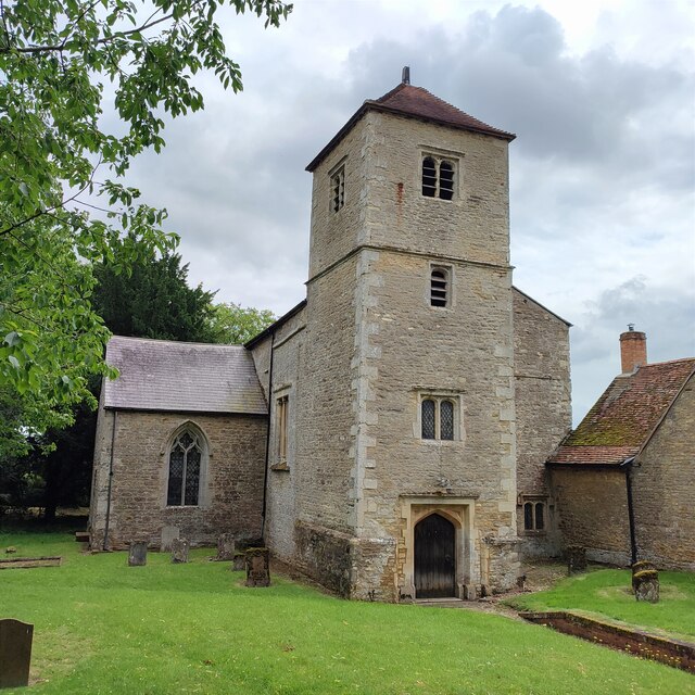
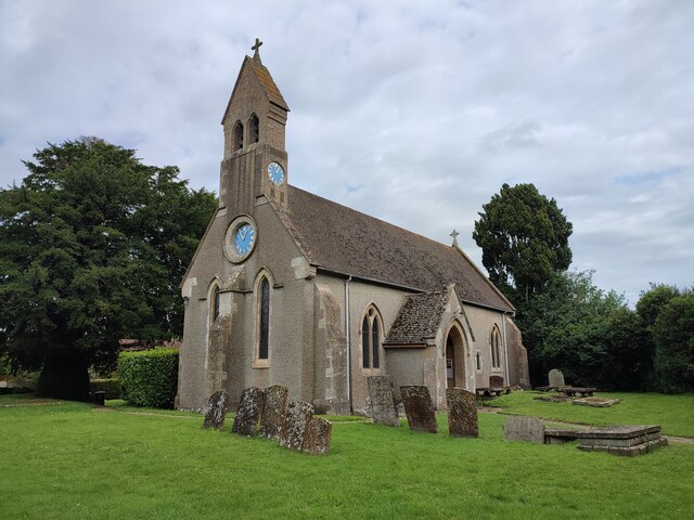
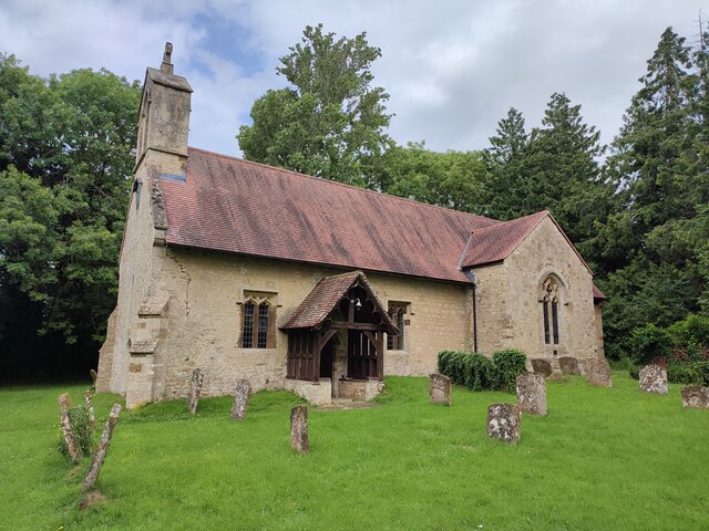
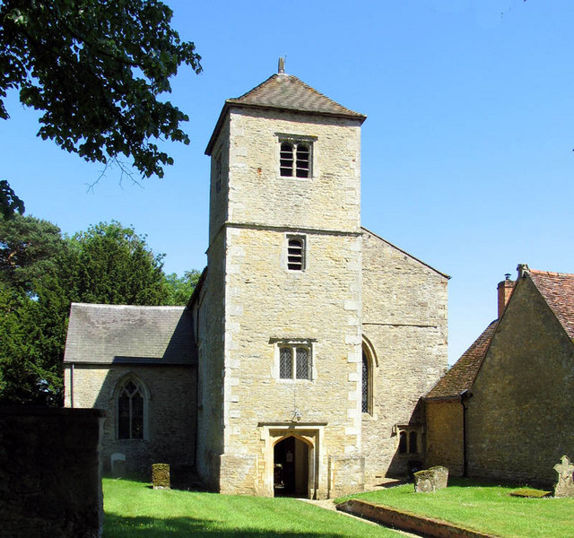
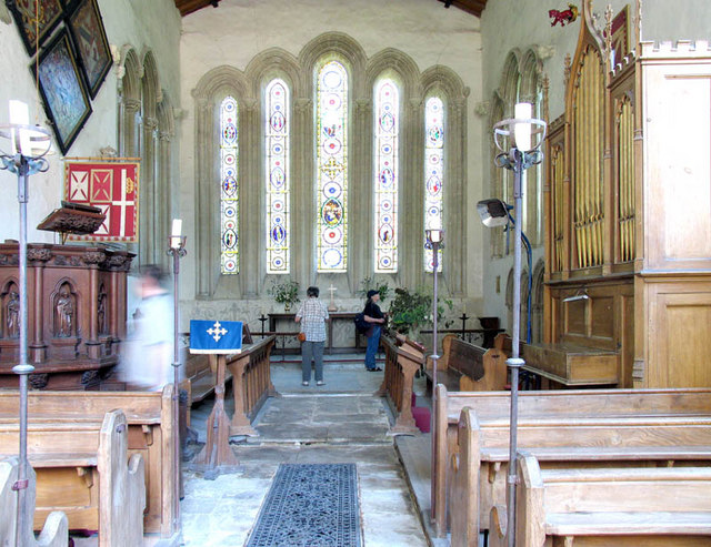
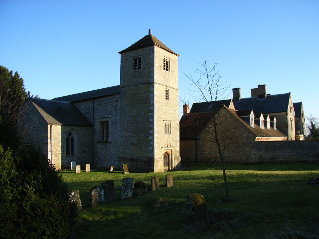
The heart of Barton Hartshorn is the All Saints Church, a Grade II listed building dating back to the 13th century. This stunning church showcases stunning stained glass windows and intricate woodwork, offering visitors a glimpse into the village's past. The village also features a local pub, The Royal Oak, which serves as a gathering place for both residents and visitors alike.

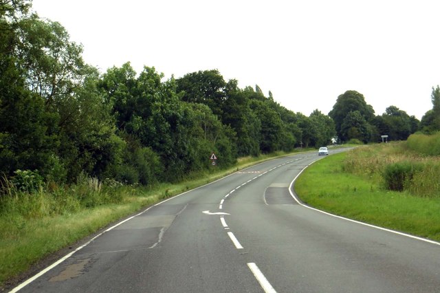
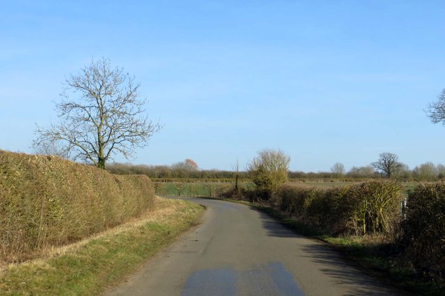
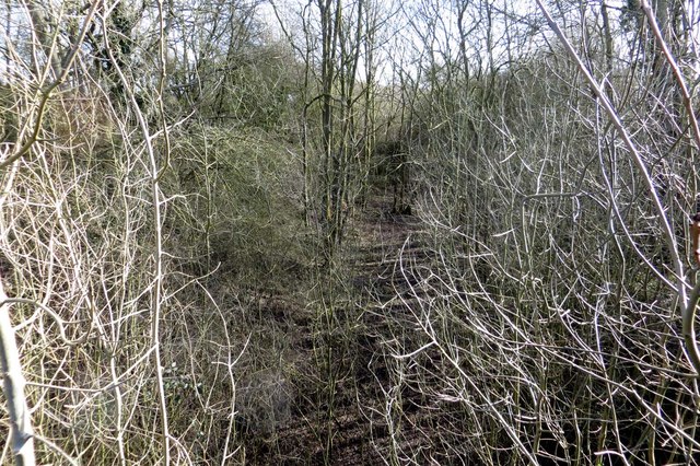
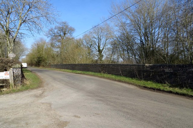
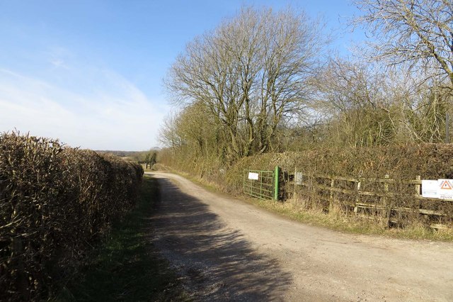
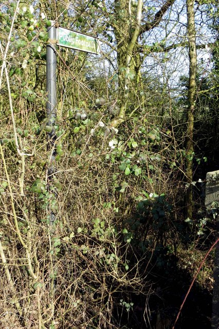
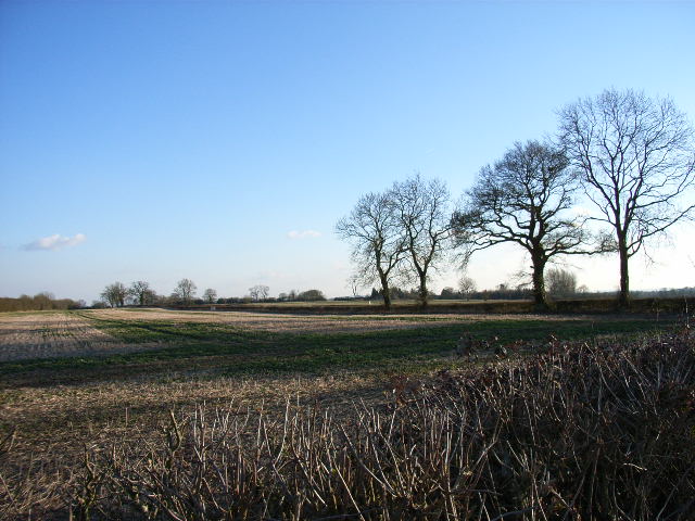
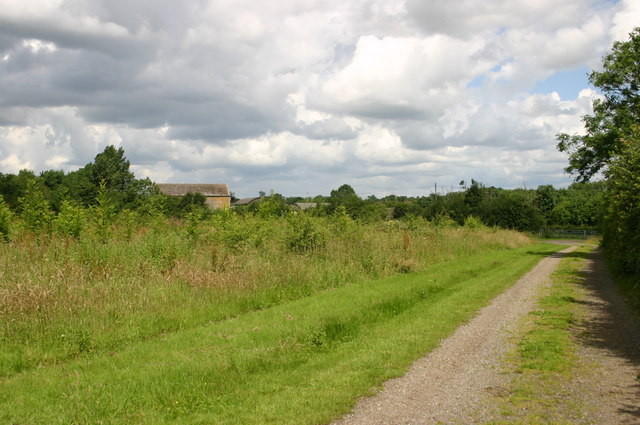
Surrounded by rolling green fields and flourishing woodlands, Barton Hartshorn is a haven for nature enthusiasts. The area offers numerous walking trails and footpaths, providing opportunities for leisurely strolls and exploration of the countryside. The village is also located near the historic Bernwood Forest, a designated Site of Special Scientific Interest, where wildlife enthusiasts can observe a diverse range of flora and fauna.

Although small in size, Barton Hartshorn maintains a strong sense of community spirit. Regular events and activities are organized by the residents, including village fairs, charity fundraisers, and social gatherings, fostering a warm and welcoming atmosphere for all.

If you have any feedback on the listing, please let us know in the comments section below.

Barton Hartshorn Images

Images are sourced within 2km of 51.97379/-1.073494 or Grid Reference SP6331. Thanks to Geograph Open Source API. All images are credited.

Old Great Central Railway trackbed A view south east on the old overgrown Great Central Railway trackbed just north of Barton Hill Farm Road which was carried over the railway by this three arch bridge.  The line was closed in 1966 and the area has reverted to woodland.  They are building the new HS2 line close to here, just to the left of this picture, which means that this woodland will be left undisturbed.
Old Great Central Railway trackbed
A view south east on the old overgrown Great Central Railway trackbed just north of Barton Hill Farm Road which was carried over the railway by this three arch bridge. The line was closed in 1966 and the area has reverted to woodland. They are building the new HS2 line close to here, just to the left of this picture, which means that this woodland will be left undisturbed.
St Mary and St Nicholas Church, Chetwode
New HS2 bridge at Finmere Station A new steel bridge was installed in July to replace the old Great Central Railway bridges at the site of the old GCR Finmere Station.  The new bridge will take the double track HS2 line over the A4421.  The new bridge will enable road widening on this busy road.  The tall stanchions on the bridge will carry noise suppression panels.  It's a pity the old bridges had to go, but that's progress?
New HS2 bridge at Finmere Station
A new steel bridge was installed in July to replace the old Great Central Railway bridges at the site of the old GCR Finmere Station. The new bridge will take the double track HS2 line over the A4421. The new bridge will enable road widening on this busy road. The tall stanchions on the bridge will carry noise suppression panels. It's a pity the old bridges had to go, but that's progress?
The bricked up entrance to the old station The bricked up entrance to the former Finmere Station is in its last throes as the new HS2 bridge girders have been installed over it.  Soon these old walls will be demolished and the road widened underneath the new bridge.
The bricked up entrance to the old station
The bricked up entrance to the former Finmere Station is in its last throes as the new HS2 bridge girders have been installed over it. Soon these old walls will be demolished and the road widened underneath the new bridge.
St Michael and All Angels Church, Newton Purcell
Church of St James, Barton Hartshorn
The A4421 to Bicester
Bend in the road The road runs from Stratton Audley to Tingewick.
Bend in the road
The road runs from Stratton Audley to Tingewick.
Overgrown trackbed near Chetwode The Great Central Railway between Aylesbury and Rugby was closed in 1966.
Overgrown trackbed near Chetwode
The Great Central Railway between Aylesbury and Rugby was closed in 1966.
Bridge over the former Great Central Railway
Footpath to Newton Purcell
Footpath to Preston Bissett
Former railway line at Chetwode
Church and priory, Chetwode
Farmland near Chetwode Looking southwards, near the entrance to Chetwode Grange.
Farmland near Chetwode
Looking southwards, near the entrance to Chetwode Grange.
St Mary & St Nicholas, Chetwode, Bucks
Nearing Chetwode The Bernwood Way nearing Chetwode
Nearing Chetwode
The Bernwood Way nearing Chetwode
Show me another place!

Barton Hartshorn is located at Grid Ref: SP6331 (Lat: 51.97379, Lng: -1.073494)

Unitary Authority: Buckinghamshire

Police Authority: Thames Valley

What 3 Words

///pumps.knees.ketchup. Near Tingewick, Buckinghamshire

Nearby Locations

Barton Hartshorn

Related Wikis

Barton Hartshorn

Barton Hartshorn is a civil parish about 4 miles (6.4 km) southwest of Buckingham in Buckinghamshire, within the Buckinghamshire Council unitary authority...

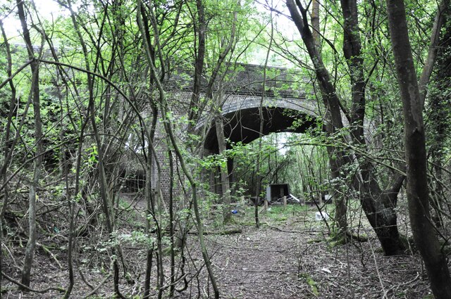
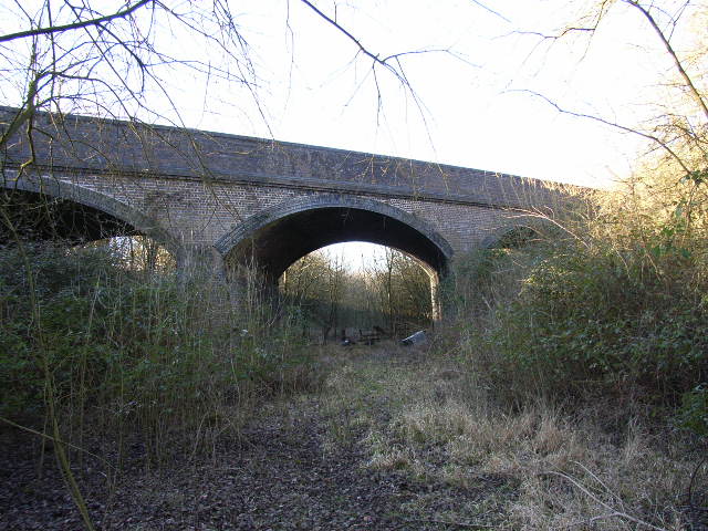
Finmere railway station

Finmere was a railway station on the former Great Central Main Line which ran between Manchester London Road and London Marylebone. It was opened in 1899...

Newton Purcell

Newton Purcell is a village in the civil parish of Newton Purcell with Shelswell, in the Cherwell district, in the county of Oxfordshire, England, 4+1...

RAF Finmere

Royal Air Force Finmere, or more simply RAF Finmere is a former Royal Air Force satellite station located to the south-east of Finmere and south of Tingewick...

Tingewick Meadows

Tingewick Meadows is an 11.1-hectare (27-acre) biological Site of Special Scientific Interest south of Tingewick in Buckinghamshire.The site is one of...

Chetwode

Chetwode () is a village and civil parish about 4 miles (6.4 km) southwest of Buckingham in the Aylesbury Vale district of Buckinghamshire. The parish...

Finmere

Finmere is a village and civil parish in Oxfordshire, south of the River Great Ouse. It is on the county boundary with Buckinghamshire, almost 4 miles...

Newton Purcell with Shelswell

Newton Purcell with Shelswell is a civil parish in Oxfordshire, England. It was formed in 1932 by merger of the parishes of Newton Purcell (grid reference...

Related Videos

Car Boot Sale #SGFAM

Welcome to the #SGFAM!, #autismfamilyvlogs #autism #autismfamily On Today's Vlog we visit the local Car Boot Sale and find ...

A windy day to try Blokart sailing for the first time!

It was deceptively windy while these two tried Blokart sailing for the very first time. We know they enjoyed themselves and both ...

Nearby Amenities

Located within 500m of 51.97379,-1.073494
Barton Hartshorn
Is In: Buckinghamshire, England, UK
Place: village
Wikidata: Q4865638
Wikipedia: en:Barton Hartshorn
Lat/Long: 51.9737407/-1.0717526
Post Box
Collection Times: Mo-Fr 16:15; Sa 09:30
Operator: Royal Mail
Post Box Type: lamp
Ref: MK18 185
Source: survey
Survey Date: 2015-05-04
Lat/Long: 51.9735267/-1.069451
Power: pole
Source: Bing
Lat/Long: 51.9767836/-1.072645
Power: pole
Source: Bing
Lat/Long: 51.9751843/-1.0765289
Power: pole
Source: Bing
Lat/Long: 51.9768281/-1.0725243
Power: pole
Source: Bing
Lat/Long: 51.9759476/-1.0747077
Power: pole
Source: Bing
Lat/Long: 51.9776129/-1.0742678
Power: pole
Source: Bing
Lat/Long: 51.9772892/-1.0735275
Power: pole
Source: Bing
Lat/Long: 51.9763986/-1.073616
Power: pole
Source: Bing
Lat/Long: 51.9755709/-1.0756169
The data included in this document is from www.openstreetmap.org. The data is made available under ODbL.

Have you been to Barton Hartshorn?

Leave your review of Barton Hartshorn below (or comments, questions and feedback).