A' Chairidhe
Island in Argyllshire
Scotland
A' Chairidhe
A' Chairidhe is a small island located off the west coast of Scotland in Argyllshire. With an area of approximately 10 square kilometers, it is known for its stunning natural beauty and rich history. The island is sparsely populated, with a small and tight-knit community of residents.
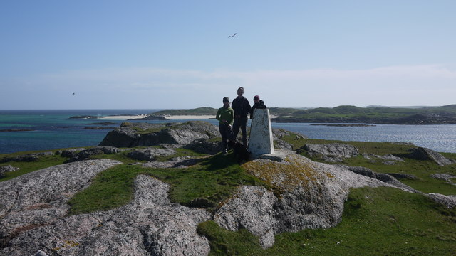
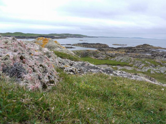
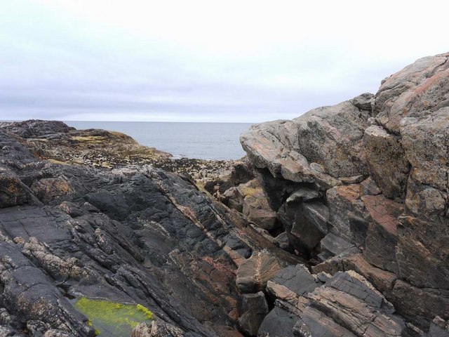
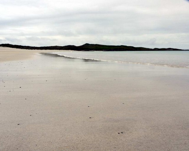
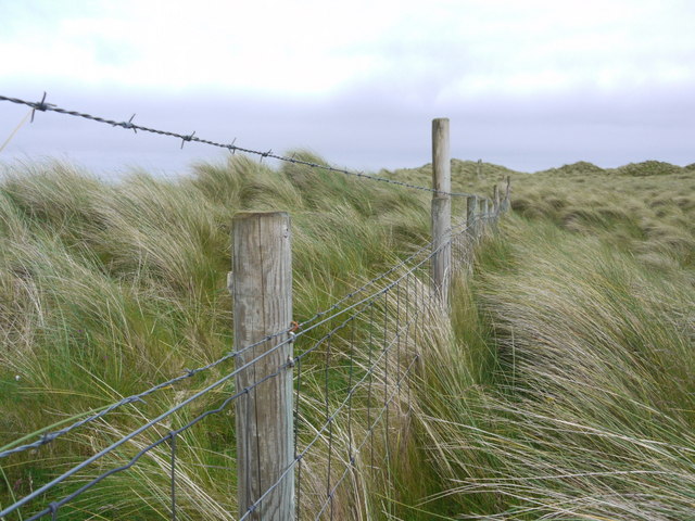
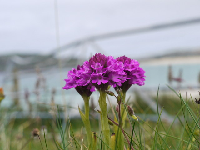
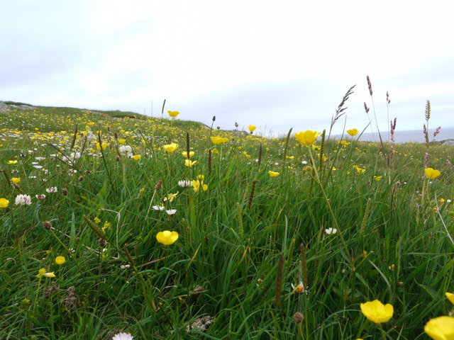
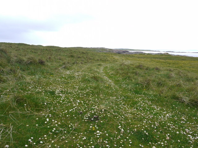
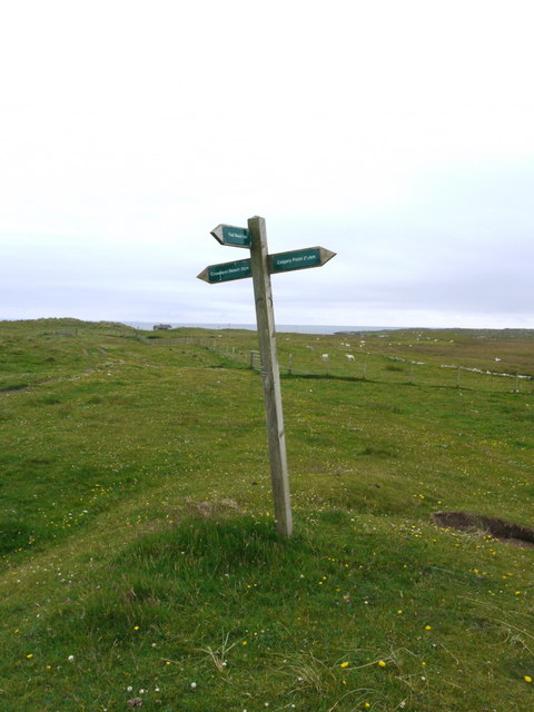
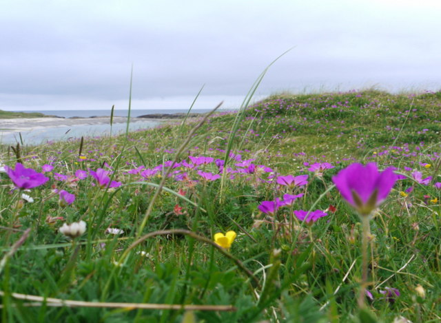
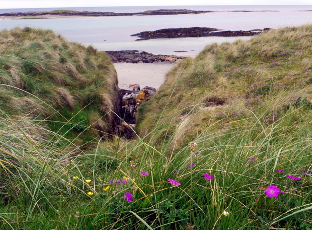
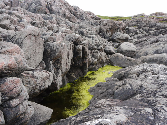
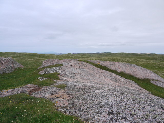
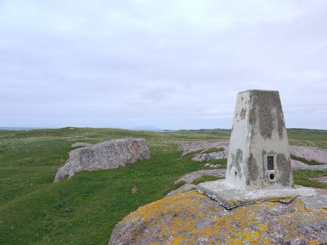
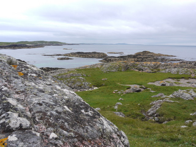
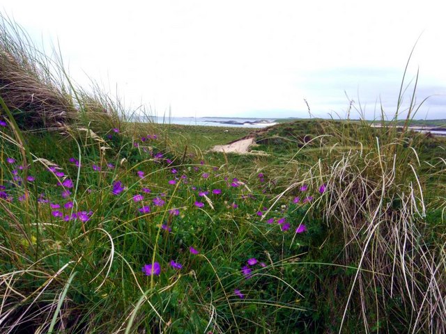
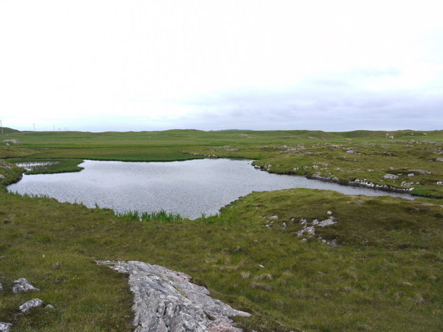
The landscape of A' Chairidhe is characterized by rolling hills, rugged cliffs, and picturesque beaches. It is a haven for outdoor enthusiasts, offering a variety of activities such as hiking, birdwatching, and fishing. The island's diverse wildlife includes seals, otters, and a wide range of bird species.
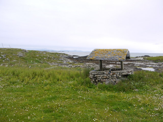
A' Chairidhe has a fascinating history that dates back centuries. It was once a strategic location for Norse settlers and played a prominent role in the region's maritime trade. Ruins of ancient structures, including a Viking burial ground, can still be found on the island, serving as a reminder of its historical significance.
Despite its remote location, A' Chairidhe is well-connected to the mainland through regular ferry services. The island has limited amenities, including a small shop and a community hall that serves as a gathering place for locals. Visitors can experience traditional Scottish hospitality and immerse themselves in the island's unique culture.
A' Chairidhe offers an escape from the hustle and bustle of modern life, providing a tranquil and idyllic setting for those seeking solace in nature. Its untamed beauty and rich heritage make it a hidden gem in Argyllshire, attracting visitors who appreciate its unspoiled charm.
If you have any feedback on the listing, please let us know in the comments section below.
A' Chairidhe Images
Images are sourced within 2km of 56.590488/-6.7008966 or Grid Reference NM1154. Thanks to Geograph Open Source API. All images are credited.
A' Chairidhe is located at Grid Ref: NM1154 (Lat: 56.590488, Lng: -6.7008966)
Unitary Authority: Argyll and Bute
Police Authority: Argyll and West Dunbartonshire
What 3 Words
///rattler.regulates.coverings. Near Arinagour, Argyll & Bute
Nearby Locations
Related Wikis

Gunna, Scotland
Gunna (Gaelic: Gunnaigh) is an island in the Inner Hebrides of Scotland. == Geography and geology == Gunna lies between Coll and Tiree, closer to Coll...
Breachacha crannog
The Breachacha crannog is a crannog located near Loch Breachacha, on the Inner Hebridean island of Coll. The crannog is recognised in the United Kingdom...

Breachacha Castle
Breachacha Castle (also spelled Breacachadh) is either of two structures on the shore of Loch Breachacha, on the Inner Hebridean island of Coll, Scotland...

Dùn Beic
Dùn Beic is a dun located on the Inner Hebridean island of Coll. It is located at grid reference NM15495644 and is thought to date to between 1000 BCE...

Coll Airport
Coll Island Airport (IATA: COL, ICAO: EGEL) (Scottish Gaelic: Port-adhair Cholla) is located 5 NM (9.3 km; 5.8 mi) west southwest of Arinagour on the island...

Totamore dun
Totamore Dun is a dun located at grid reference NM17625713; near the settlement of Totamore, on the Inner Hebridean island of Coll. It occupies the summit...

Dùn an Achaidh
Dùn an Achaidh, sometimes Anglicised as Dun Acha, is a dun located near the village of Acha on the Inner Hebridean island of Coll. It is considered the...
An Caisteal (Coll)
An Caisteal (English: The Castle) is a hill fort located on the island of Coll. This island is one of the islands which make up the Inner Hebrides located...
Nearby Amenities
Located within 500m of 56.590488,-6.7008966Have you been to A' Chairidhe?
Leave your review of A' Chairidhe below (or comments, questions and feedback).