Gousam

Island in Ross-shire

Scotland

Gousam
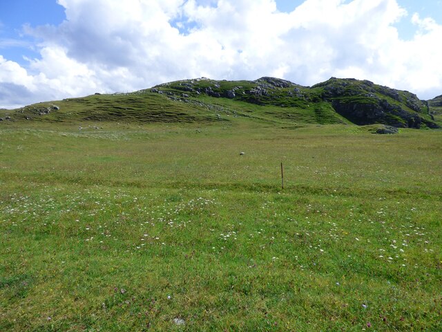
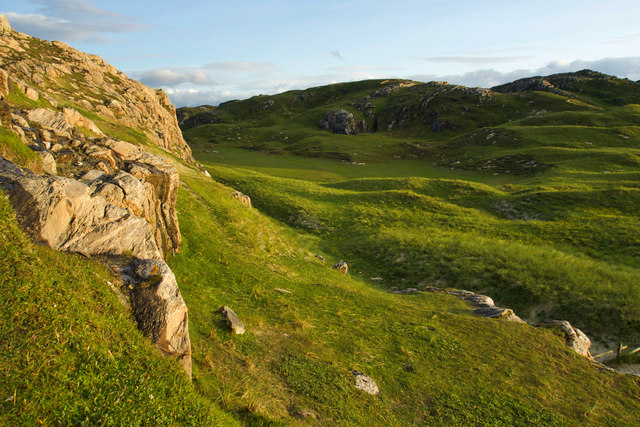
Lazy Beds at Tràigh na Beirigh Ridges formed by hand digging of fields.  These one are unusual in that some of the ridges are lined with small stones.
Lazy Beds at Tràigh na Beirigh Credit: Sandy Gerrard

Gousam is a small island located off the coast of Ross-shire in the Scottish Highlands. The island is known for its rugged, rocky coastline and stunning views of the surrounding sea. Gousam is only accessible by boat, adding to its secluded and peaceful atmosphere.

The island is sparsely populated, with only a handful of residents living in small, traditional cottages scattered throughout the landscape. The main industries on the island are fishing and farming, with residents relying on the sea and the land for their livelihoods.

Gousam is a popular destination for tourists looking to escape the hustle and bustle of mainland Scotland. Visitors can enjoy hiking along the rugged cliffs, birdwatching in the coastal marshes, or simply relaxing on the sandy beaches.

The island has a rich history, with ancient ruins and standing stones dating back thousands of years. The local community takes pride in preserving the island's heritage and natural beauty, ensuring that Gousam remains a tranquil and unspoiled paradise for generations to come.

If you have any feedback on the listing, please let us know in the comments section below.

Gousam Images

Images are sourced within 2km of 58.198557/-6.9216409 or Grid Reference NB1033. Thanks to Geograph Open Source API. All images are credited.

Lazy Beds at Tràigh na Beirigh Ridges formed by hand digging of fields.  These one are unusual in that some of the ridges are lined with small stones.
Lazy Beds at Tràigh na Beirigh
Ridges formed by hand digging of fields. These one are unusual in that some of the ridges are lined with small stones.
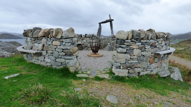
An Sùileachan Monument A monument to the Lewis land clearances <span class="nowrap"><a title="https://bhaltostrust.co.uk/suileachan-project/" rel="nofollow ugc noopener" href="https://bhaltostrust.co.uk/suileachan-project/">Link</a><img style="margin-left:2px;" alt="External link" title="External link - shift click to open in new window" src="https://s1.geograph.org.uk/img/external.png" width="10" height="10"/></span>
An Sùileachan Monument
A monument to the Lewis land clearances LinkExternal link
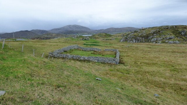
Sheepfold at Riof
Sheepfold at Riof
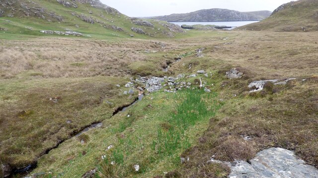
Norse Mill on burn leading from Loch Lionais The mill is very ruinous and survives as a spread of rubble overlying the lower courses of the building.  The leat serving the mill is represented by the bright green stripe.
Norse Mill on burn leading from Loch Lionais
The mill is very ruinous and survives as a spread of rubble overlying the lower courses of the building. The leat serving the mill is represented by the bright green stripe.
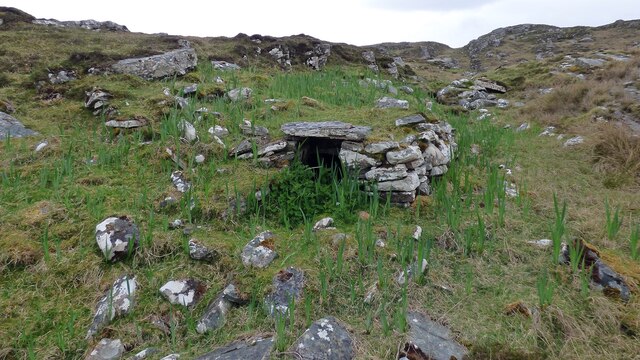
Norse Mill on burn leading from Loch Lionais The lower mill is rather better preserved with the tail race opening still intact.
Norse Mill on burn leading from Loch Lionais
The lower mill is rather better preserved with the tail race opening still intact.
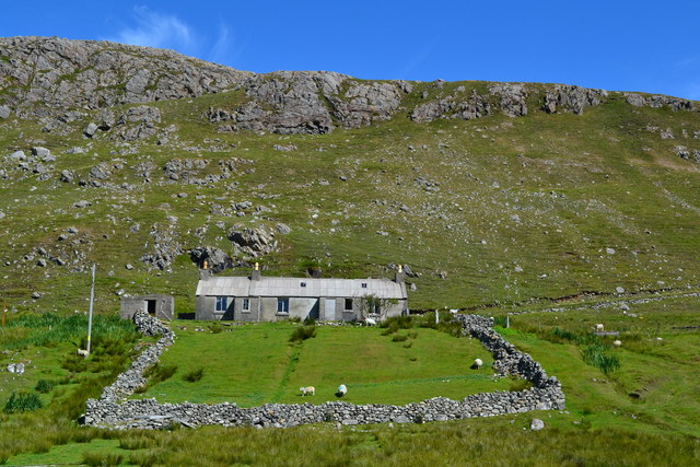
Derelict house on slope of Beinn a' Ghlinne Ruaidh
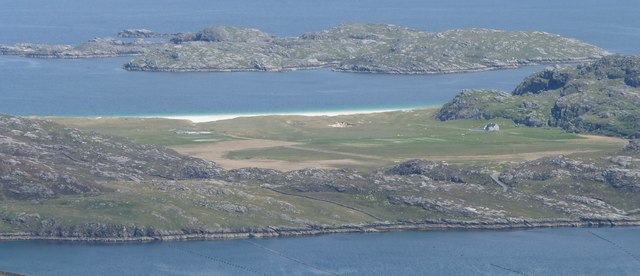
A' Bheirigh from Suaineabhal
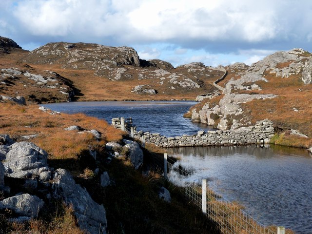
Lochan at Cragavig An old boundary wall snakes across the moorland
Lochan at Cragavig
An old boundary wall snakes across the moorland
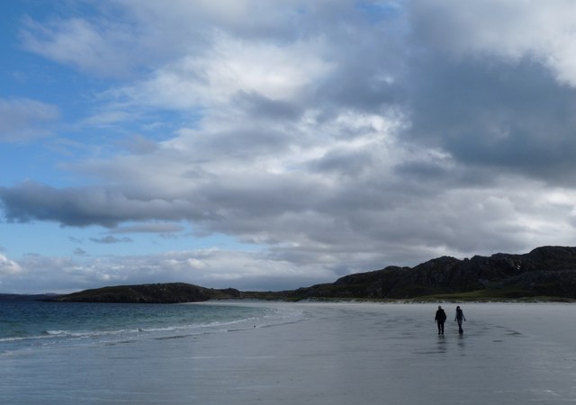
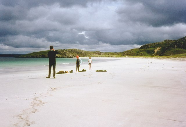
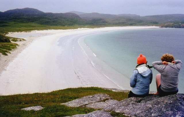
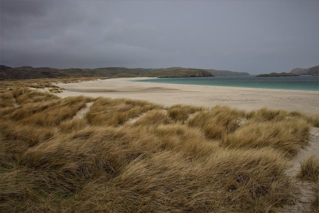
Tràigh na Beirigh A perfect crescent beach
Tràigh na Beirigh
A perfect crescent beach
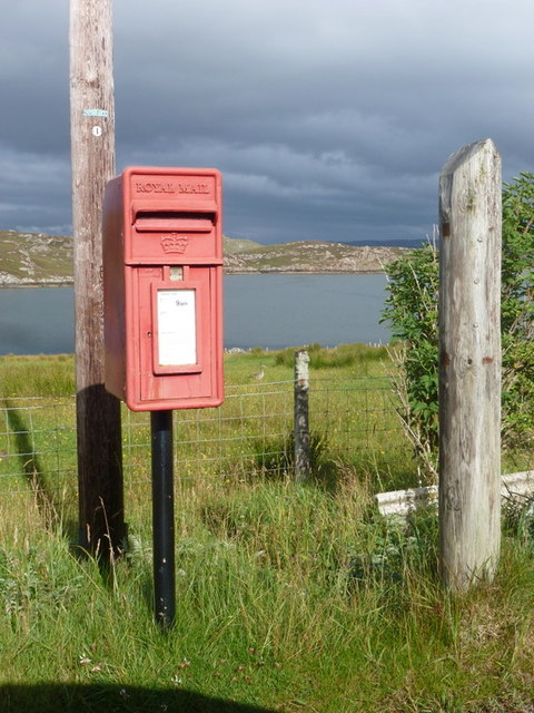
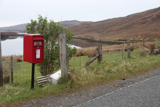
Cerishader: postbox № HS2 158 A small postbox on the B8011, with its back to Loch Ròg. It is emptied at 9 o'clock each morning, except Sunday.
Cerishader: postbox № HS2 158
A small postbox on the B8011, with its back to Loch Ròg. It is emptied at 9 o'clock each morning, except Sunday.
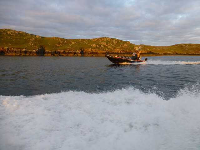
Morning RIB Commute Seatrek worker on morning commute to work at Miabhaig on a RIB. Photo taken from the MV Lochlann.
Morning RIB Commute
Seatrek worker on morning commute to work at Miabhaig on a RIB. Photo taken from the MV Lochlann.
Traigh na Berie
Traigh na Berie
Tràigh na Beirigh from the east
A' Bheirigh
A' Bheirigh
Tràigh Teinish
Tràigh Teinish
Traigh na Berie
Traigh na Berie
Carishader postbox The sea inlet is part of Loch Ròg.
Carishader postbox
The sea inlet is part of Loch Ròg.
Show me another place!

Gousam is located at Grid Ref: NB1033 (Lat: 58.198557, Lng: -6.9216409)

Unitary Authority: Na h-Eileanan an Iar

Police Authority: Highlands and Islands

What 3 Words

///shelter.undertook.initial. Near Carloway, Na h-Eileanan Siar

Related Wikis

Flodaigh, Lewis

Flodaigh is a small island in Loch Roag on the west coast of Lewis in the Outer Hebrides of Scotland. It is about 33 hectares (82 acres) in extent and...

Fuaigh Beag

Fuaigh Beag or Vuia Be(a)g is an island in the Outer Hebrides. It is off the west coast of Lewis near Great Bernera in Loch Roag. Its name means "little...

Loch na Berie

Loch Na Berie is a broch in the Outer Hebrides of Scotland, located approximately 400 yards from the shore, and is thought to have been located on an island...

Loch Ròg

Loch Ròg or Loch Roag is a large sea loch on the west coast of Lewis, Outer Hebrides. It is broadly divided into East Loch Roag and West Loch Roag with...

Nearby Amenities

Located within 500m of 58.198557,-6.9216409
Ele: 48
Natural: peak
Source: OS7
Lat/Long: 58.19535/-6.9256051
The data included in this document is from www.openstreetmap.org. The data is made available under ODbL.

Have you been to Gousam?

Leave your review of Gousam below (or comments, questions and feedback).