Gunna Soy
Island in Argyllshire
Scotland
Gunna Soy
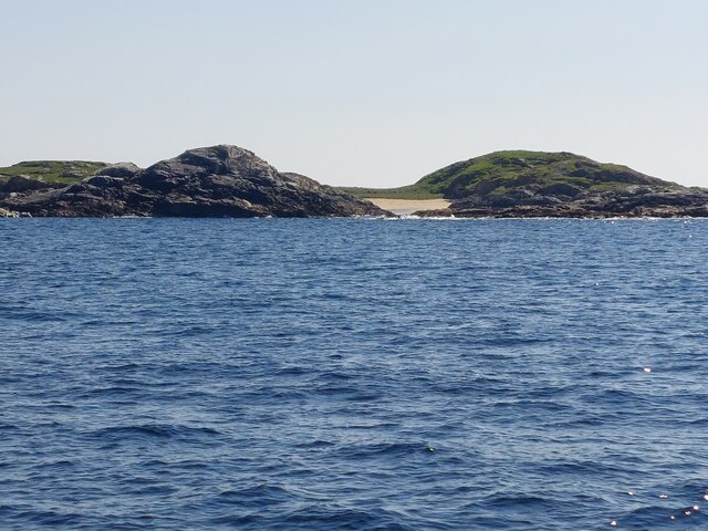
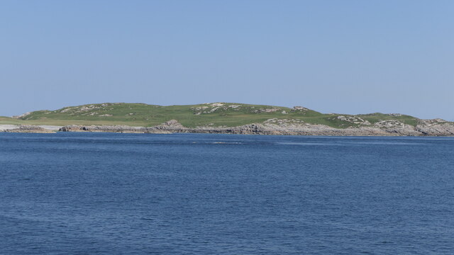
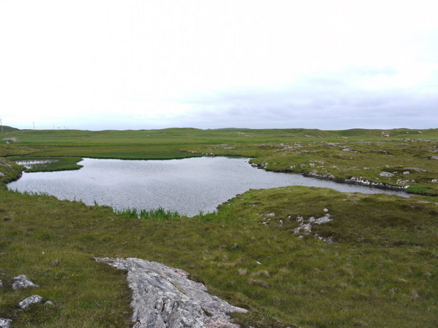
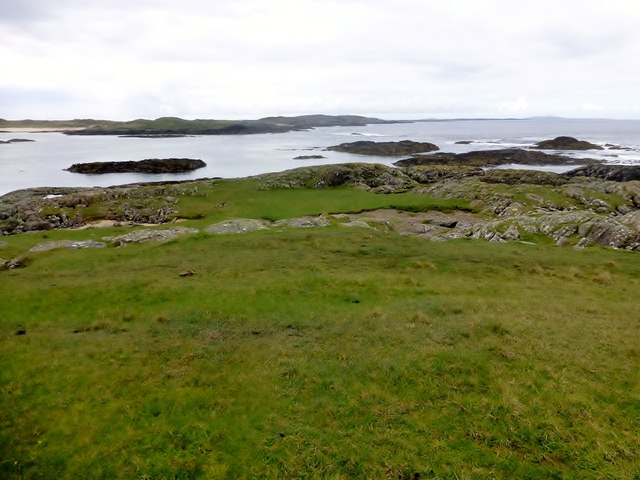
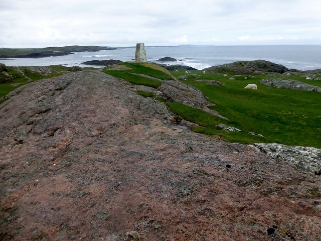
Gunna Soy is a small island located in Argyllshire, Scotland. Situated off the west coast of the mainland, it is part of the Inner Hebrides archipelago. With an area of approximately 60 acres, the island is characterized by its rugged and wild landscape.
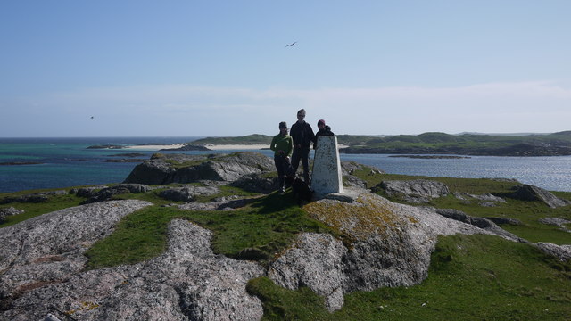
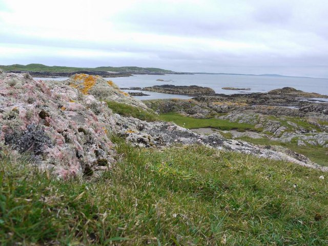
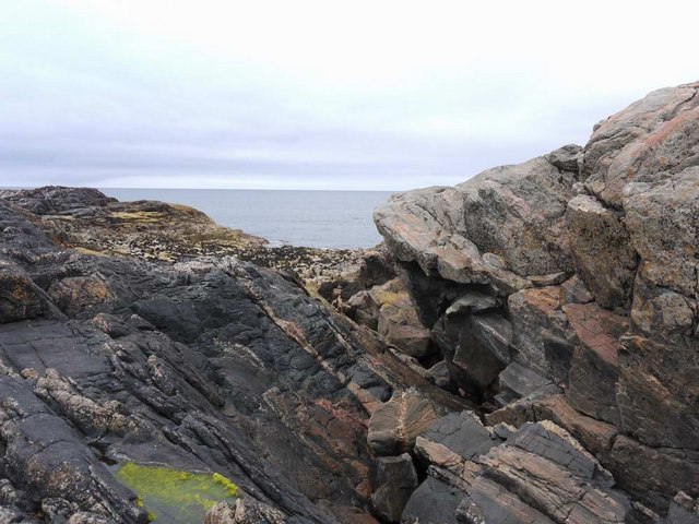
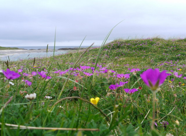
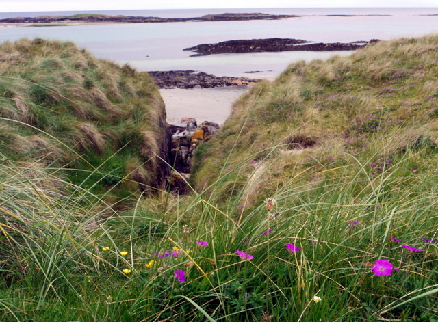
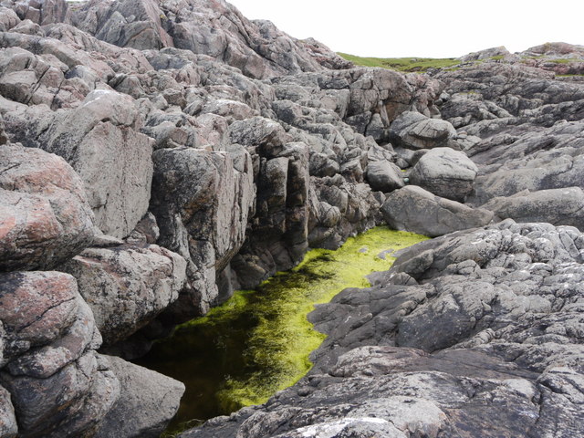
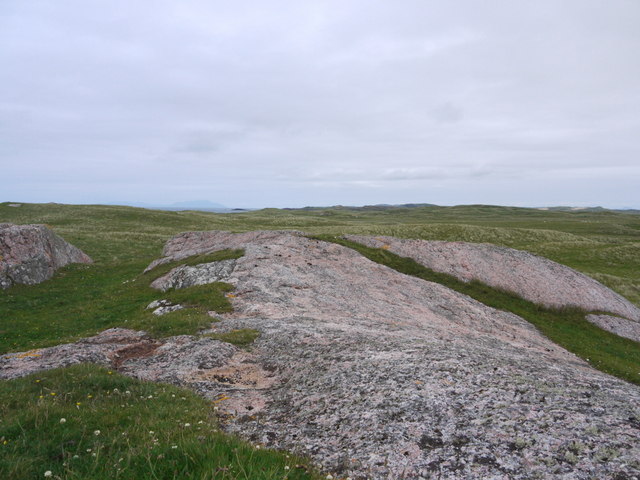
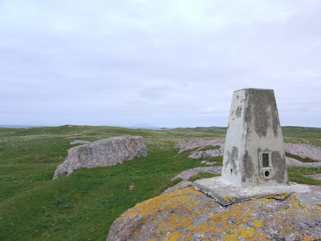
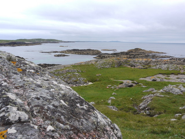
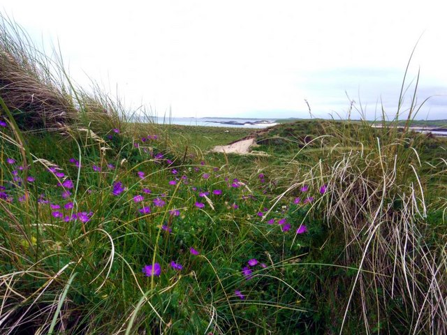
The terrain of Gunna Soy is diverse, encompassing rolling hills, rocky cliffs, and sandy beaches. Its coastline is indented with numerous small coves and inlets, providing stunning views of the surrounding sea and neighboring islands. The island is also home to a variety of flora and fauna, including seabirds, seals, and wildflowers.
Access to Gunna Soy is primarily by boat, as there are no permanent residents or ferry services to the island. However, it is a popular destination for day trips and wildlife enthusiasts. Visitors can explore the island's walking trails, which offer opportunities for birdwatching and scenic photography.
The history of Gunna Soy is shrouded in mystery. The island has been the site of various archaeological discoveries, including ancient burial grounds and Viking artifacts. It is believed to have been inhabited in the past, but there is no evidence of permanent settlement today.
Overall, Gunna Soy is a secluded and picturesque island, providing a tranquil escape for nature lovers. Its unspoiled beauty and rich wildlife make it a hidden gem in the Argyllshire region, attracting those seeking a peaceful retreat amidst breathtaking scenery.
If you have any feedback on the listing, please let us know in the comments section below.
Gunna Soy Images
Images are sourced within 2km of 56.570294/-6.712237 or Grid Reference NM1051. Thanks to Geograph Open Source API. All images are credited.


Gunna Soy is located at Grid Ref: NM1051 (Lat: 56.570294, Lng: -6.712237)
Unitary Authority: Argyll and Bute
Police Authority: Argyll and West Dunbartonshire
What 3 Words
///pets.latest.efficient. Near Scarinish, Argyll & Bute
Nearby Locations
Related Wikis

Gunna, Scotland
Gunna (Gaelic: Gunnaigh) is an island in the Inner Hebrides of Scotland. == Geography and geology == Gunna lies between Coll and Tiree, closer to Coll...
Breachacha crannog
The Breachacha crannog is a crannog located near Loch Breachacha, on the Inner Hebridean island of Coll. The crannog is recognised in the United Kingdom...

Breachacha Castle
Breachacha Castle (also spelled Breacachadh) is either of two structures on the shore of Loch Breachacha, on the Inner Hebridean island of Coll, Scotland...

Dùn Beic
Dùn Beic is a dun located on the Inner Hebridean island of Coll. It is located at grid reference NM15495644 and is thought to date to between 1000 BCE...

Coll Airport
Coll Island Airport (IATA: COL, ICAO: EGEL) (Scottish Gaelic: Port-adhair Cholla) is located 5 NM (9.3 km; 5.8 mi) west southwest of Arinagour on the island...

Dun Mor Vaul
Dun Mor Vaul (or simply Dun Mor; Scottish Gaelic: Dùn Mòr) is an iron-age broch located on the north coast of the island of Tiree, in Scotland. ��2�...

Dùn an Achaidh
Dùn an Achaidh, sometimes Anglicised as Dun Acha, is a dun located near the village of Acha on the Inner Hebridean island of Coll. It is considered the...

Acha, Coll
Acha (Gaelic: An t-Achadh, tranlsating to "The Field") is a small hamlet on the Scottish island of Coll. == References == == See also == Dùn an Achaidh...
Nearby Amenities
Located within 500m of 56.570294,-6.712237Have you been to Gunna Soy?
Leave your review of Gunna Soy below (or comments, questions and feedback).