Seanna Chaisteal
Island in Inverness-shire
Scotland
Seanna Chaisteal
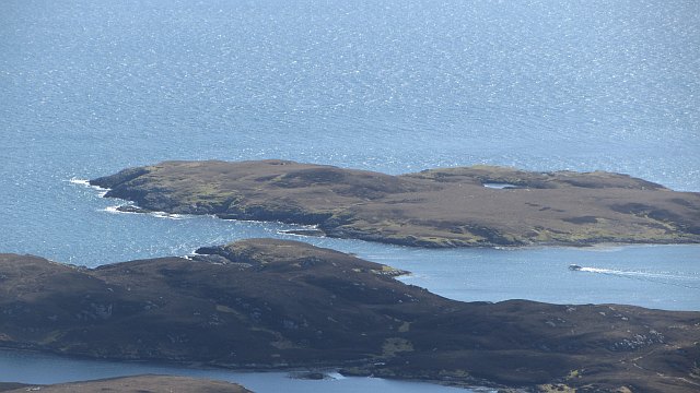
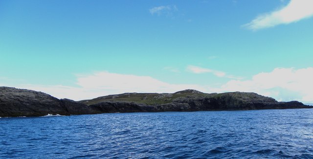
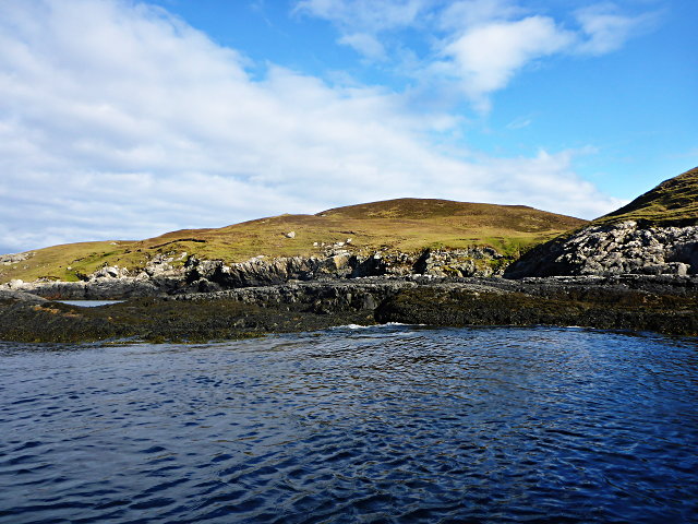
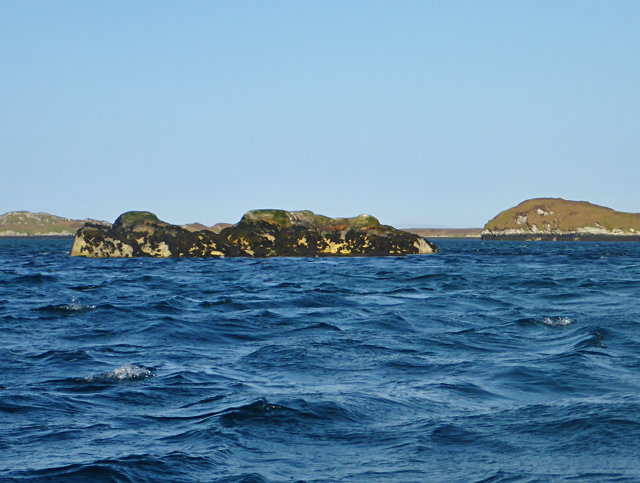
Seanna Chaisteal is a small island located in Inverness-shire, Scotland. Situated in the picturesque waters of Loch Dunvegan, Seanna Chaisteal is known for its stunning natural beauty and historical significance.
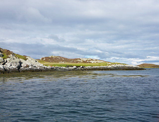
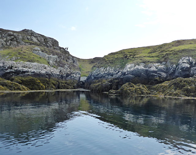
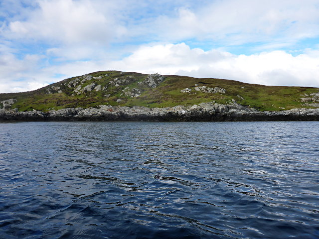
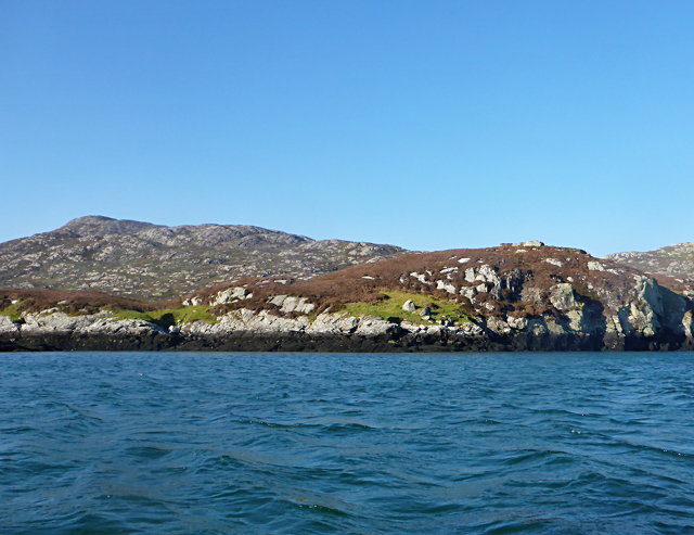
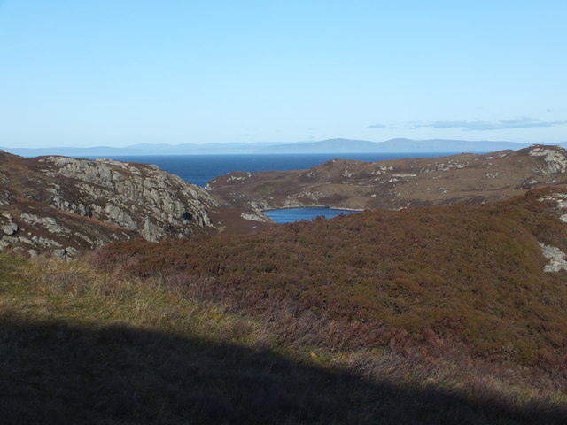
The island covers an area of approximately 0.2 square kilometers and is characterized by rocky cliffs, lush greenery, and a diverse range of wildlife. The rugged coastline provides breathtaking views of the surrounding landscape, including the majestic Cuillin Mountains in the distance.
One of the main attractions on Seanna Chaisteal is the ancient castle that stands proudly on the island's highest point. The castle, which shares the same name as the island, is believed to date back to the 13th century and offers visitors a glimpse into the rich history of the area. Although the castle is in ruins, its imposing structure and strategic location are a testament to its past significance.
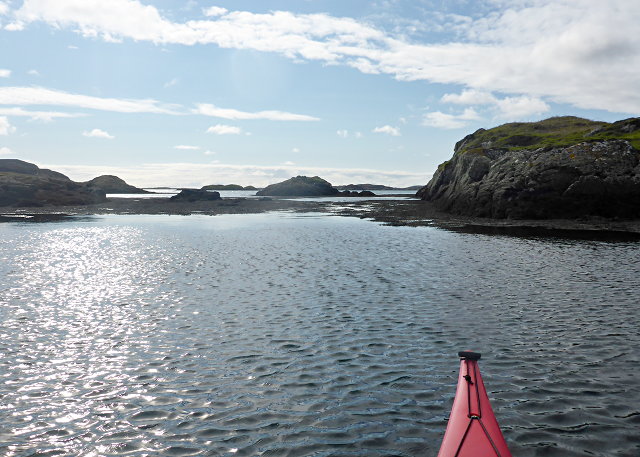
Visitors to Seanna Chaisteal can explore the island on foot, taking in the tranquil atmosphere and enjoying the abundance of natural beauty. The island is home to a variety of bird species, making it a popular spot for birdwatching enthusiasts. The clear waters surrounding the island are also ideal for fishing and boating activities.
Access to Seanna Chaisteal is by boat, with regular ferry services available from nearby ports. The island offers limited facilities, so visitors are advised to bring their own provisions and plan accordingly. Despite its remote location, Seanna Chaisteal is a hidden gem that offers a unique and memorable experience for those seeking a tranquil retreat in the heart of Inverness-shire.
If you have any feedback on the listing, please let us know in the comments section below.
Seanna Chaisteal Images
Images are sourced within 2km of 57.503032/-7.1754002 or Grid Reference NF9057. Thanks to Geograph Open Source API. All images are credited.

Seanna Chaisteal is located at Grid Ref: NF9057 (Lat: 57.503032, Lng: -7.1754002)
Unitary Authority: Na h-Eileanan an Iar
Police Authority: Highlands and Islands
What 3 Words
///full.whirlpool.forks. Near Lochmaddy, Na h-Eileanan Siar
Nearby Locations
Related Wikis

Flodaigh Mòr
Flodaigh Mòr (or Floddaymore) is an uninhabited island in the Outer Hebrides of Scotland. == Geography and geology == Flodaigh Mòr lies east of North Uist...

Ronay
Ronay (Scottish Gaelic: Rònaigh) is an island in the Outer Hebrides of Scotland, which lies a short distance off the east coast of Grimsay. == Geography... ==
Grimsay
Grimsay (Scottish Gaelic: Griomasaigh) is a tidal island in the Outer Hebrides of Scotland. == Geography == Grimsay is the largest of the low-lying stepping...

Fraoch-Eilean
Fraoch-eilean is a small island with an uncertain population north of Benbecula in the Outer Hebrides of Scotland. It is about 55 hectares (140 acres...
Have you been to Seanna Chaisteal?
Leave your review of Seanna Chaisteal below (or comments, questions and feedback).