Eilean an t-Sruith
Island in Inverness-shire
Scotland
Eilean an t-Sruith
Eilean an t-Sruith, also known as The Shiel or The Isle of Shiel, is a small island located in Inverness-shire, Scotland. Situated in Loch Shiel, the island is approximately 2 miles long and 1 mile wide. It is a privately owned island and is not inhabited.
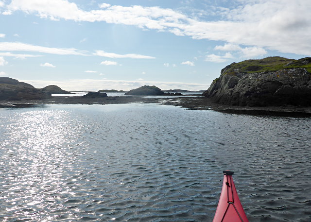
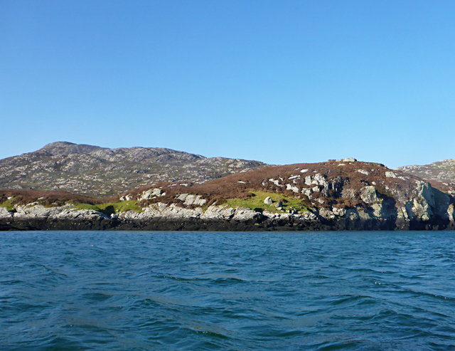
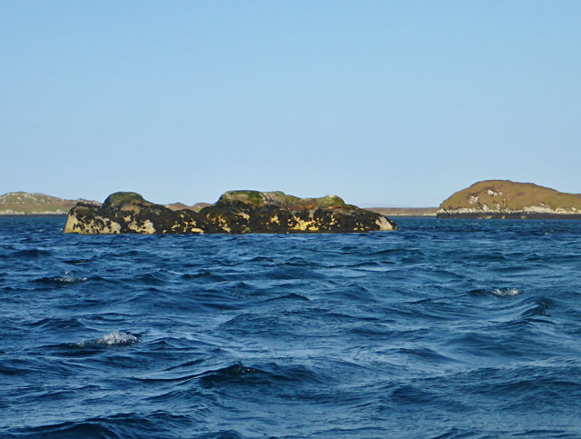
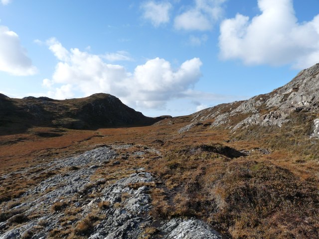
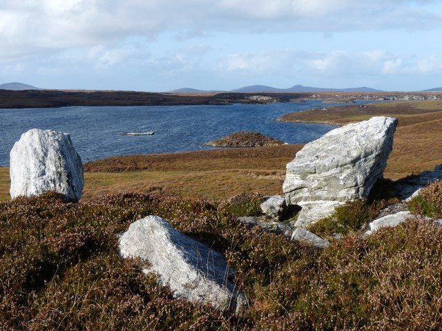
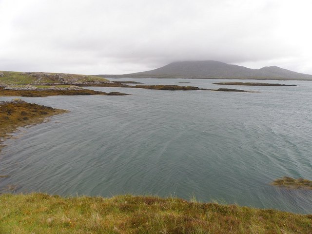
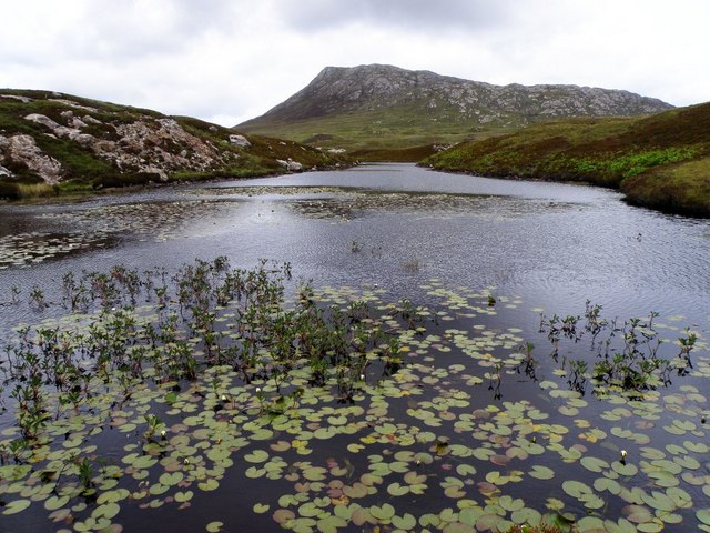
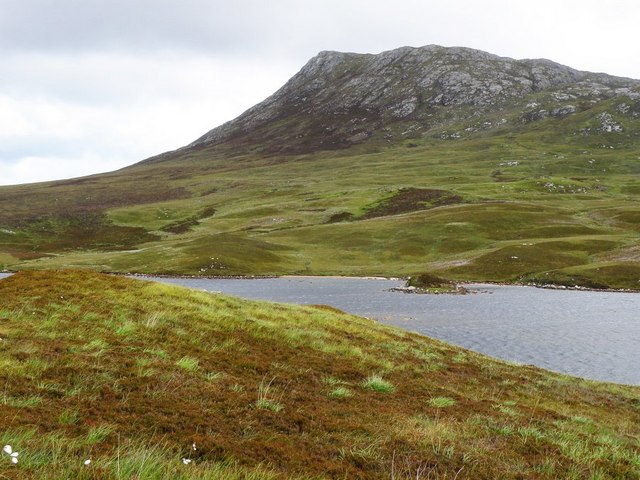
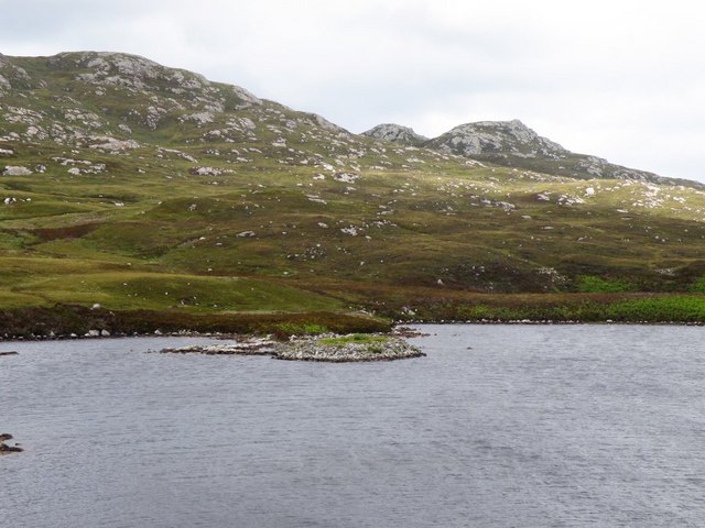
The landscape of Eilean an t-Sruith is characterized by its rugged terrain, with rolling hills covered in heather and scattered birch trees. The island offers stunning panoramic views of the surrounding loch and the nearby mountains, including the famous Ben Nevis.
The island is home to a wide variety of wildlife, including red deer, otters, and a variety of bird species. Its remote location and untouched natural habitat make it an ideal spot for nature enthusiasts and photographers.
Access to the island is primarily by boat, with several boat trips available from nearby towns. Visitors can explore the island on foot, taking in its natural beauty and tranquility. There are no facilities or amenities on the island, so visitors are advised to bring their own supplies and be prepared for outdoor activities.
Eilean an t-Sruith has historical significance, with ruins of an old chapel and a small burial ground dating back to the 18th century. The island is also mentioned in Scottish folklore and is believed to be haunted by the spirit of a woman who was banished there centuries ago.
Overall, Eilean an t-Sruith offers a remote and picturesque experience for those seeking natural beauty and a sense of tranquility in the heart of Inverness-shire.
If you have any feedback on the listing, please let us know in the comments section below.
Eilean an t-Sruith Images
Images are sourced within 2km of 57.506072/-7.1974805 or Grid Reference NF8858. Thanks to Geograph Open Source API. All images are credited.


Eilean an t-Sruith is located at Grid Ref: NF8858 (Lat: 57.506072, Lng: -7.1974805)
Unitary Authority: Na h-Eileanan an Iar
Police Authority: Highlands and Islands
What 3 Words
///wasp.protrude.scavenger. Near Lochmaddy, Na h-Eileanan Siar
Nearby Locations
Related Wikis

Ronay
Ronay (Scottish Gaelic: Rònaigh) is an island in the Outer Hebrides of Scotland, which lies a short distance off the east coast of Grimsay. == Geography... ==

Flodaigh Mòr
Flodaigh Mòr (or Floddaymore) is an uninhabited island in the Outer Hebrides of Scotland. == Geography and geology == Flodaigh Mòr lies east of North Uist...

Fraoch-Eilean
Fraoch-eilean is a small island with an uncertain population north of Benbecula in the Outer Hebrides of Scotland. It is about 55 hectares (140 acres...
Grimsay
Grimsay (Scottish Gaelic: Griomasaigh) is a tidal island in the Outer Hebrides of Scotland. == Geography == Grimsay is the largest of the low-lying stepping...
Nearby Amenities
Located within 500m of 57.506072,-7.1974805Have you been to Eilean an t-Sruith?
Leave your review of Eilean an t-Sruith below (or comments, questions and feedback).