Liernis
Coastal Feature, Headland, Point in Inverness-shire
Scotland
Liernis

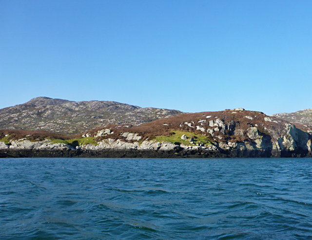
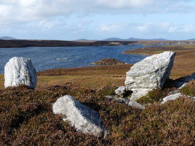
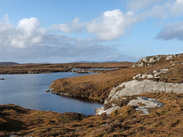
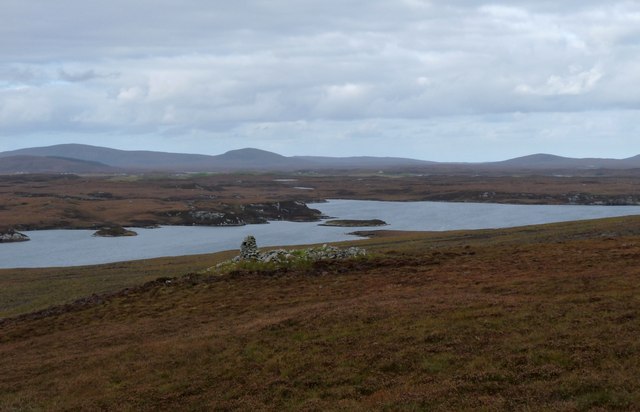
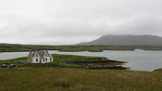
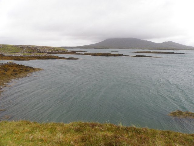
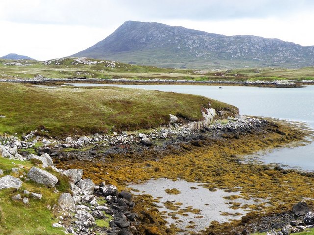
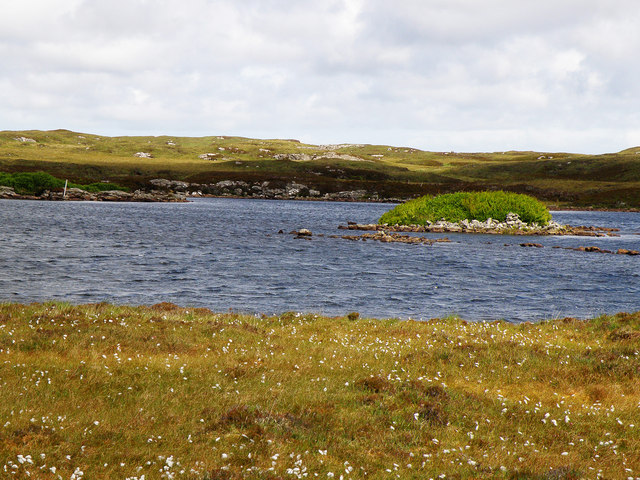
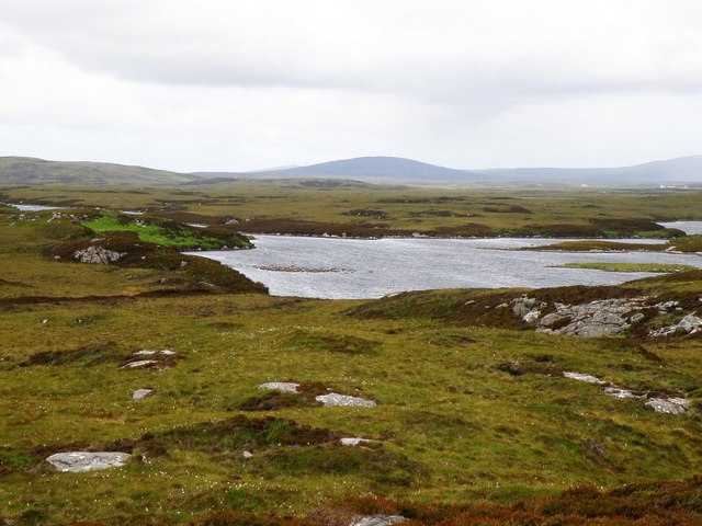
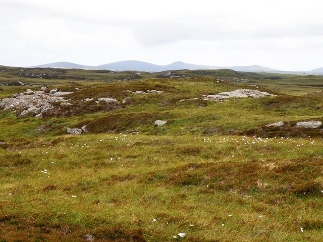
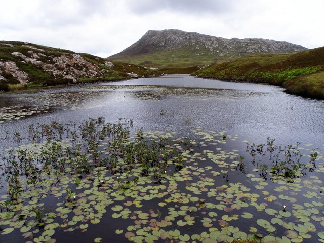
Liernis is a prominent coastal feature located in Inverness-shire, Scotland. It is classified as a headland, also known as a point, and is situated along the rugged coastline of the North Atlantic Ocean. Liernis is renowned for its striking natural beauty and is a popular destination for tourists and nature enthusiasts alike.
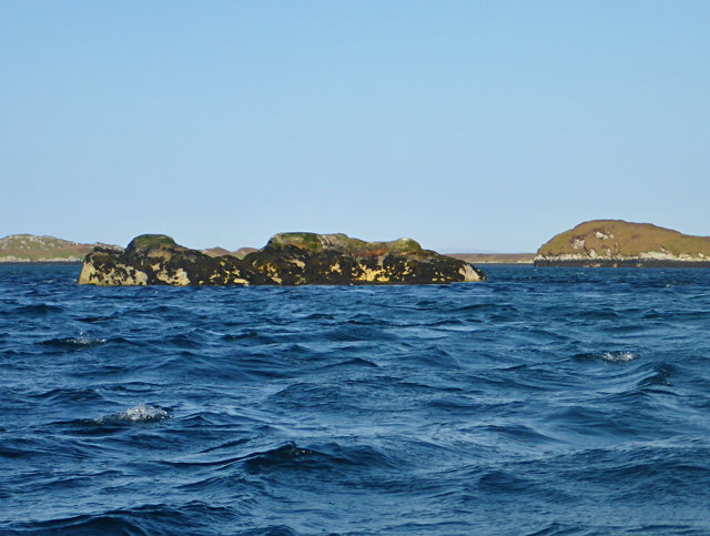
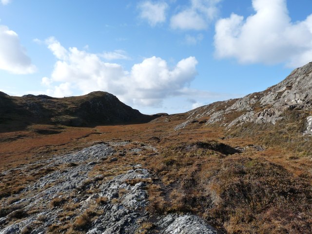
Rising majestically above the surrounding landscape, Liernis offers breathtaking panoramic views of the surrounding seascape. Its rocky cliffs, battered by the relentless waves, add to its dramatic allure. The headland is composed of ancient rock formations, predominantly composed of granite, that have been shaped by centuries of erosion and weathering.
The unique geographical position of Liernis makes it an ideal spot for observing marine wildlife. The nutrient-rich waters surrounding the headland attract a diverse array of species, including seals, dolphins, and a variety of seabirds. This makes it a haven for birdwatchers and wildlife photographers.
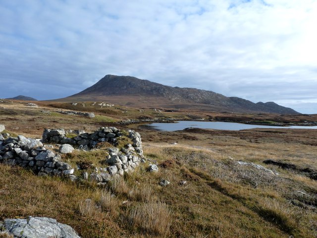
Liernis is also steeped in history and has been inhabited for centuries. The headland boasts the remnants of ancient settlements, such as stone circles and burial grounds, providing a glimpse into the lives of early inhabitants. Additionally, the headland has been a strategic location for navigational purposes, with a lighthouse constructed in the 19th century to guide ships safely through the treacherous coastal waters.
In summary, Liernis is a captivating headland in Inverness-shire, Scotland, offering stunning coastal vistas, abundant wildlife, and a rich historical legacy. Its striking beauty and diverse ecosystem make it a must-visit destination for nature lovers and those seeking to immerse themselves in Scotland's natural wonders.
If you have any feedback on the listing, please let us know in the comments section below.
Liernis Images
Images are sourced within 2km of 57.511129/-7.2107414 or Grid Reference NF8858. Thanks to Geograph Open Source API. All images are credited.


Liernis is located at Grid Ref: NF8858 (Lat: 57.511129, Lng: -7.2107414)
Unitary Authority: Na h-Eileanan an Iar
Police Authority: Highlands and Islands
What 3 Words
///rejects.tucked.press. Near Balivanich, Na h-Eileanan Siar
Nearby Locations
Related Wikis

Fraoch-Eilean
Fraoch-eilean is a small island with an uncertain population north of Benbecula in the Outer Hebrides of Scotland. It is about 55 hectares (140 acres...

Grimsay
Grimsay (Scottish Gaelic: Griomasaigh) is a tidal island in the Outer Hebrides of Scotland. == Geography == Grimsay is the largest of the low-lying stepping...

Ronay
Ronay (Scottish Gaelic: Rònaigh) is an island in the Outer Hebrides of Scotland, which lies a short distance off the east coast of Grimsay. == Geography... ==

Baile Glas
Baile Glas or Ballaglasa (Scottish Gaelic: Am Baile Glas) is a settlement on Grimsay in the Outer Hebrides, Scotland. Ballaglasa is within the parish of...
Related Videos

Why visit the outer Hebrides? #vlogmas2022 Day 4 #bucketlist
Why visit the outer Hebrides? #vlogmas2022 Day 4 #bucketlist Welcome back all, So why come to Uist? It has by far some of the ...

The WINDIEST permaculture project on Youtube/Croft tour July 2022 /future earth works and squatters?
The WINDIEST permaculture project on Youtube/Croft tour July 2022 /future earth works and squatters? Firstly, let me just say I ...

Can you squeeze a Tick with your hand and kill it? and a sneak peak at the ducks #vlogmas2022 Day 5
Can you squeeze a Tick with your hand and kill it? and a sneak peak at the ducks #vlogmas2022 Day 5 #northuist #outerhebdries ...

Croft tour / Future croft plans / underground greenhouse?
Croft tour / Future croft plans / underground greenhouse? Welcome back all, If your new here, my names Alexander So I've had a ...
Have you been to Liernis?
Leave your review of Liernis below (or comments, questions and feedback).