Eilean an Fhraoich Miatha
Island in Inverness-shire
Scotland
Eilean an Fhraoich Miatha
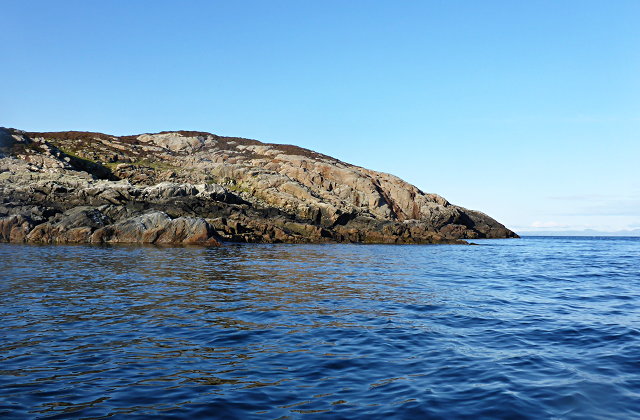
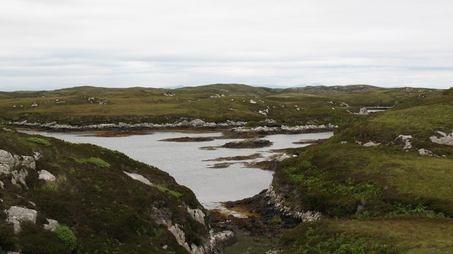
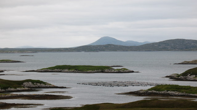
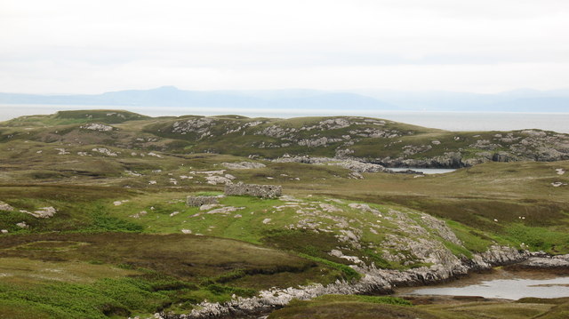
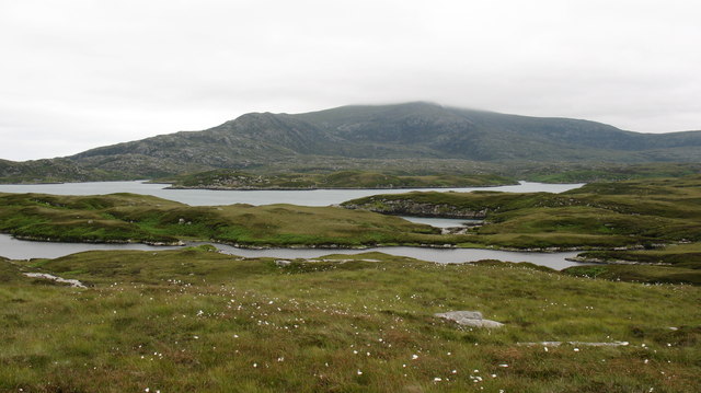
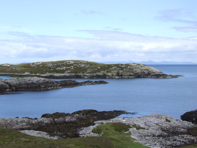
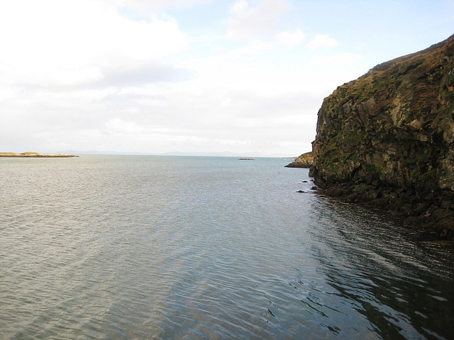
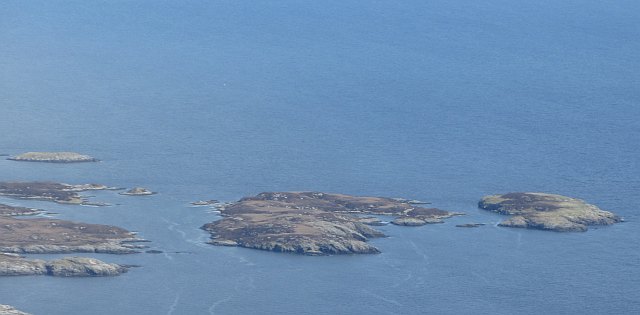
Eilean an Fhraoich Miatha, also known as the Isle of the Silent Men, is a small island located in the county of Inverness-shire, Scotland. Situated in the middle of Loch Eilt, the island is surrounded by stunning natural beauty, with its tranquil waters and picturesque landscapes.
The island's name, which translates to "Island of the Silent Men" in English, comes from its association with a local folk tale. Legend has it that the island was inhabited by a group of monks who took a vow of silence, hence the name. This tale adds an air of mystery and intrigue to the island's already captivating allure.
Eilean an Fhraoich Miatha is accessible via boat or kayak, making it a popular destination for nature enthusiasts and outdoor adventurers. The island is known for its diverse wildlife, including various bird species and occasional sightings of otters and seals. Visitors can also enjoy fishing in the surrounding waters, as Loch Eilt is well-known for its abundance of trout and salmon.
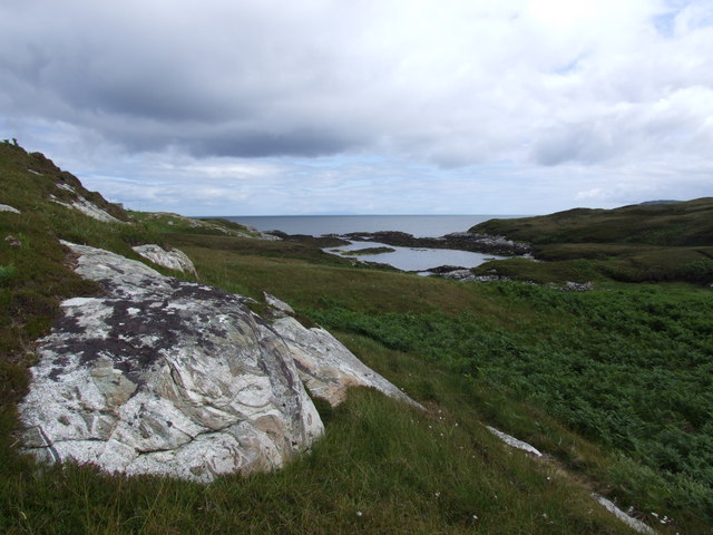
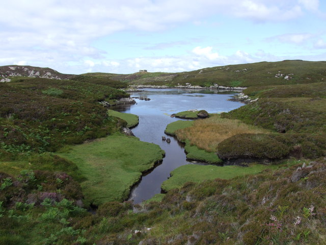
The island's landscape is predominantly rugged and hilly, with lush greenery covering its slopes. Visitors can explore the island's trails, which offer breathtaking views of the surrounding loch and the nearby mountains. The island's isolation and peaceful atmosphere make it an ideal place for relaxation and meditation, attracting those seeking solitude and tranquility.
Overall, Eilean an Fhraoich Miatha is a hidden gem in Inverness-shire, offering a unique blend of natural beauty, folklore, and a serene atmosphere. Whether exploring its trails, observing wildlife, or simply enjoying the peace and quiet, a visit to this enchanting island is sure to leave a lasting impression.
If you have any feedback on the listing, please let us know in the comments section below.
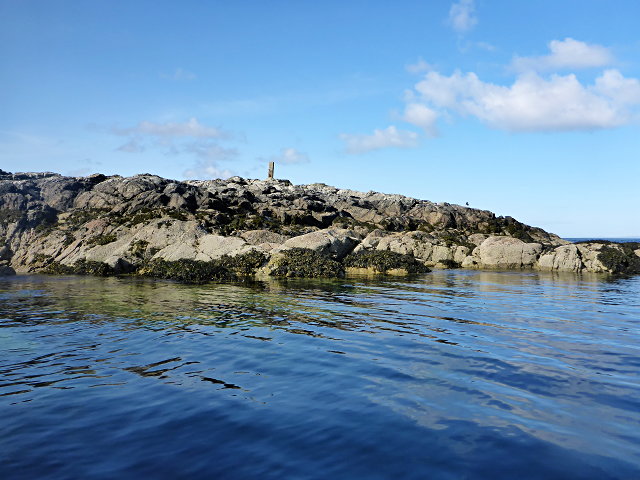
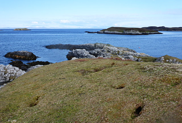
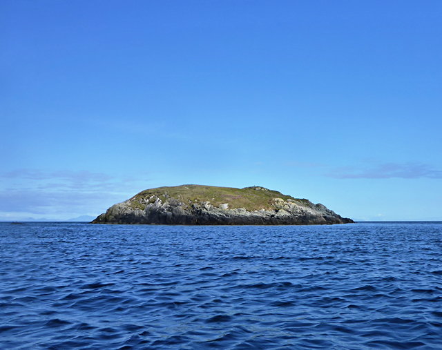
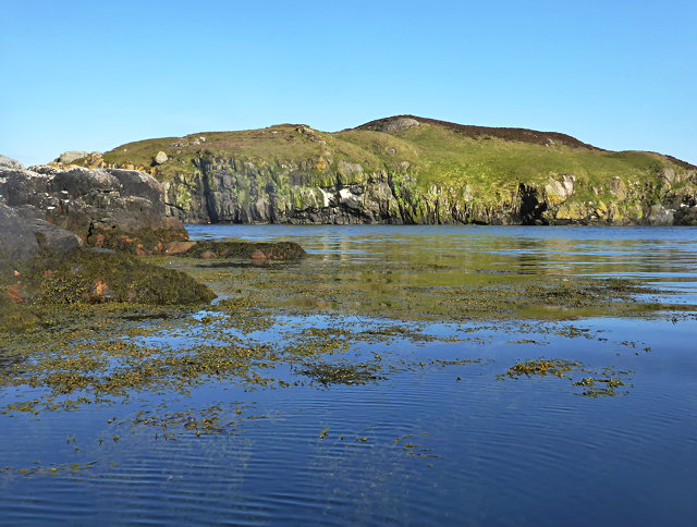
Eilean an Fhraoich Miatha Images
Images are sourced within 2km of 57.35164/-7.2255524 or Grid Reference NF8541. Thanks to Geograph Open Source API. All images are credited.
Eilean an Fhraoich Miatha is located at Grid Ref: NF8541 (Lat: 57.35164, Lng: -7.2255524)
Unitary Authority: Na h-Eileanan an Iar
Police Authority: Highlands and Islands
What 3 Words
///solve.unsigned.agreeable. Near Balivanich, Na h-Eileanan Siar
Nearby Locations
Related Wikis

Eilean na Cille
Eilean na Cille, south east of Benbecula is an island of the Outer Hebrides connected to Grimsay (South) by a causeway which carries the B891. The road...

Wiay, Outer Hebrides
Wiay (Scottish Gaelic: Bhuia or Fuidheigh) is an uninhabited island in the Outer Hebrides. It lies south-east of Benbecula and measures approximately...

Ushenish Lighthouse
The Ushenish Lighthouse is an active lighthouse located in South Uist, Outer Hebrides, Scotland. == History == Ushenish Lighthouse was designed by engineers...

Grimsay (South East Benbecula)
Grimsay, south east of Benbecula is a tidal island of the Outer Hebrides. It is connected to Benbecula by a causeway which carries the B891. In the 2001...
Have you been to Eilean an Fhraoich Miatha?
Leave your review of Eilean an Fhraoich Miatha below (or comments, questions and feedback).