Eilean a' Bhogha

Island in Inverness-shire

Scotland

Eilean a' Bhogha

Eilean a' Geòidh Gasaidh is visible on the extreme right.
Eilean a' Geòidh Credit: Toby Speight

Eilean a' Bhogha, also known as Bow Island, is a small island located in the Scottish Highlands in Inverness-shire, Scotland. The island is situated in the middle of Loch Ness, approximately 20 kilometers southwest of the city of Inverness.

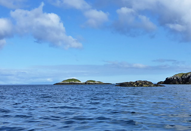
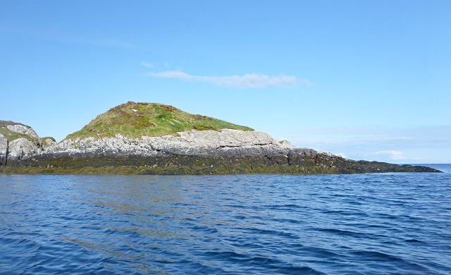
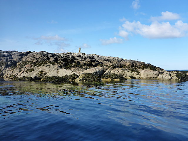
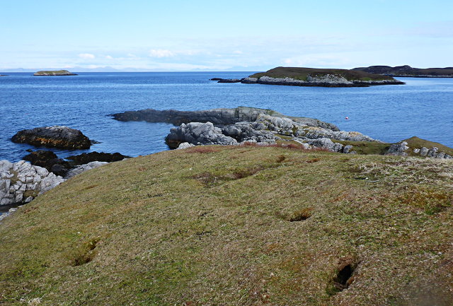
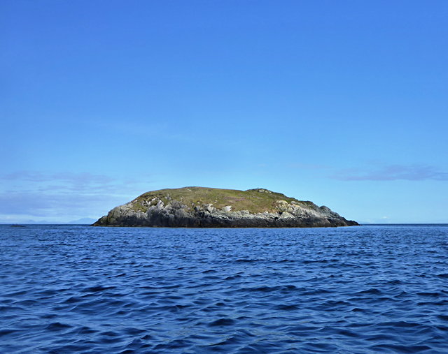
Eilean a' Bhogha covers an area of around 0.5 acres and is accessible only by boat. The island is known for its picturesque beauty, with lush greenery, rocky shores, and stunning views of the surrounding mountains and Loch Ness.

The island is home to a single building, a small cottage that was originally built as a hunting lodge in the 19th century. The cottage has since been renovated and is now privately owned. It offers a unique and secluded retreat for those looking to escape the hustle and bustle of everyday life.

Nature enthusiasts and birdwatchers are particularly drawn to Eilean a' Bhogha, as the island provides a tranquil habitat for a variety of bird species, including ducks, swans, and herons. Visitors can often spot these birds nesting or feeding in the surrounding waters.

Due to its location on Loch Ness, the island also holds a certain allure for fans of the legendary Loch Ness Monster. Many believe that the deep, dark waters surrounding Eilean a' Bhogha could be a potential hiding place for the elusive creature.

Overall, Eilean a' Bhogha offers a serene and scenic setting, making it an ideal destination for nature lovers and those seeking a peaceful retreat in the heart of the Scottish Highlands.

If you have any feedback on the listing, please let us know in the comments section below.

Eilean a' Bhogha Images

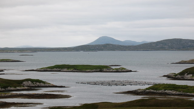
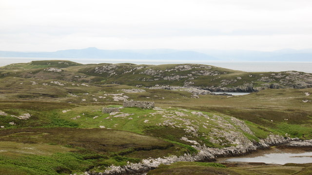
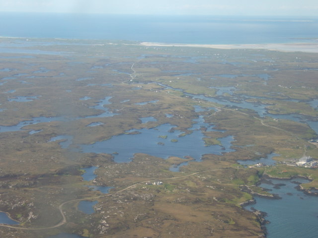
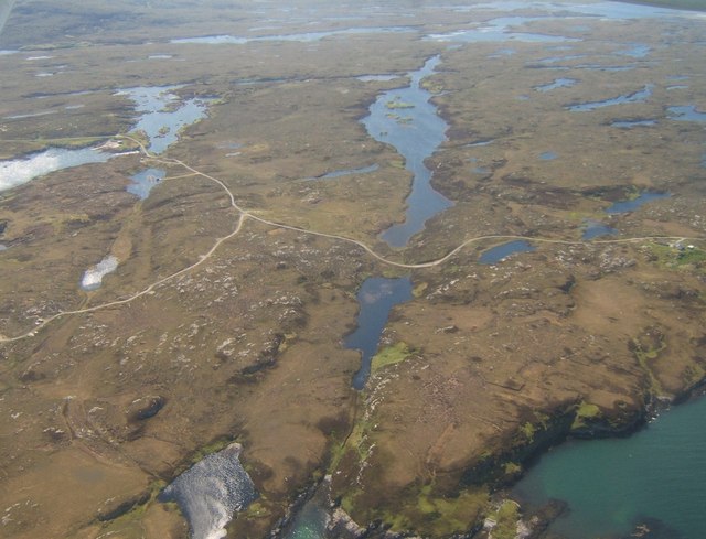
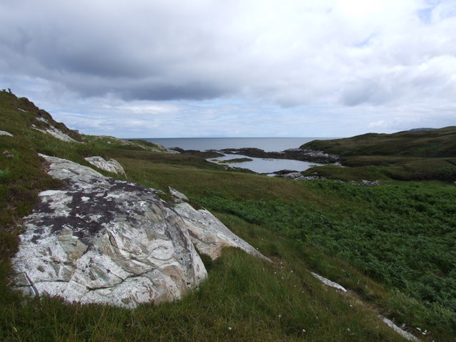
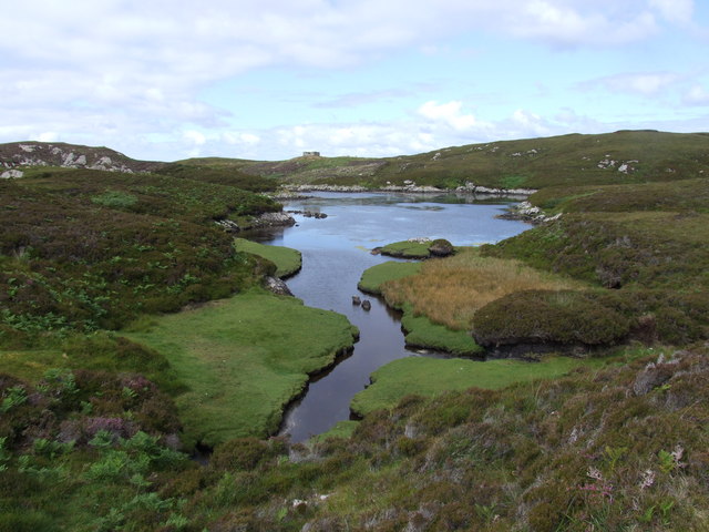
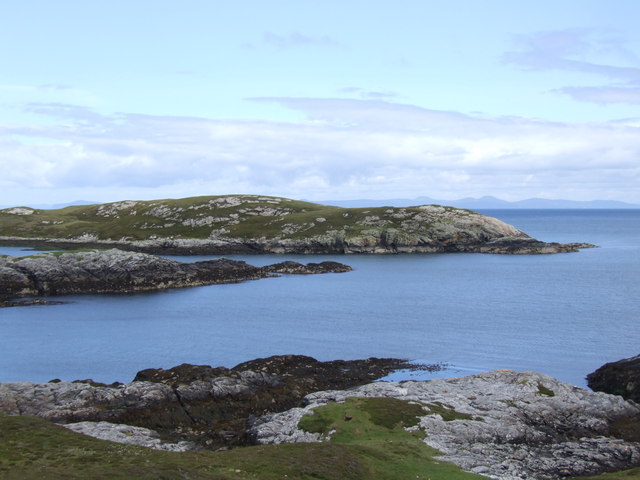
Images are sourced within 2km of 57.356035/-7.2394979 or Grid Reference NF8541. Thanks to Geograph Open Source API. All images are credited.

Eilean a' Geòidh Gasaidh is visible on the extreme right.
Eilean a' Geòidh
Gasaidh is visible on the extreme right.
Eilean a' Mhadaidh
Eilean a' Mhadaidh
Sgeir Mhic Iamain There's a concrete pillar on top of this islet.  I can't be sure, but it's likely that it's a former navigation aid.  There's also an oystercatcher - I'm more sure of that, and it hasn't stayed as long.
Sgeir Mhic Iamain
There's a concrete pillar on top of this islet. I can't be sure, but it's likely that it's a former navigation aid. There's also an oystercatcher - I'm more sure of that, and it hasn't stayed as long.
Eilean Mhic'ille Phadruig I think the burrows are puffin nests.
Eilean Mhic'ille Phadruig
I think the burrows are puffin nests.
Southernmost of the Glas-eileanan
Loch Carnan no. 1 port-side channel buoy This is the most seaward of the marker buoys for Loch Carnan (excepting <a href="https://www.geograph.org.uk/photo/4974591">NF8843 : Loch nan Carnan Landfall Buoy</a>).  There are 4 port buoys and 2 starboard, with Port no. 2 and Starboard no. 1 paired.
Loch Carnan no. 1 port-side channel buoy
This is the most seaward of the marker buoys for Loch Carnan (excepting NF8843 : Loch nan Carnan Landfall Buoy). There are 4 port buoys and 2 starboard, with Port no. 2 and Starboard no. 1 paired.
On the road to Caolas Liubharsaigh
Thin Loch near Tholmair. Just one of the hundreds of lochs on South Uist. This one is only just above sea level and seems to be named as 'Caslub'. [shown on OS map]
Thin Loch near Tholmair.
Just one of the hundreds of lochs on South Uist. This one is only just above sea level and seems to be named as 'Caslub'. [shown on OS map]
Lon Dubh near Loch Sheileabhaig One of the maze of tidal inlets on the small peninsula to the north of Loch Skipport.
Lon Dubh near Loch Sheileabhaig
One of the maze of tidal inlets on the small peninsula to the north of Loch Skipport.
Islands in the bay. Looking across Bagh a Tuath towards islets, skerries and a fish farm.
Islands in the bay.
Looking across Bagh a Tuath towards islets, skerries and a fish farm.
Ruin above the bay. Crofting ruin above Bagh Clann Alasdair on the east coast of South Uist.
Ruin above the bay.
Crofting ruin above Bagh Clann Alasdair on the east coast of South Uist.
Loch Sheilabhaig
Loch Sheilabhaig
Looking over Tholmair to Loch Shnathaid In the distance are the white sands beyond Iochdar, on the Atlantic coast.
Looking over Tholmair to Loch Shnathaid
In the distance are the white sands beyond Iochdar, on the Atlantic coast.
Near Caltanais Looking westward along Loch Caslub - see also <a href="https://www.geograph.org.uk/photo/505742">NF8341 : Thin Loch near Tholmair.</a>.
Near Caltanais
Looking westward along Loch Caslub - see also NF8341 : Thin Loch near Tholmair..
Bagh Clann Alasdair from below the ruined croft
Ob Dubh Loch Shieleabhaig has the most complex series of tidal inlets.  Some are dry at low tide, whilst some are isolated salt-water or brackish lagoons.  A wonderful and complex area.  Ob is the local name for this kind of sheltered (usually tidal) loch.
Ob Dubh
Loch Shieleabhaig has the most complex series of tidal inlets. Some are dry at low tide, whilst some are isolated salt-water or brackish lagoons. A wonderful and complex area. Ob is the local name for this kind of sheltered (usually tidal) loch.
Liursaigh Dubh
Liursaigh Dubh
House, Rubha Bhuailte An isolated building on the shores of Loch Sheileabhaig.
House, Rubha Bhuailte
An isolated building on the shores of Loch Sheileabhaig.
Show me another place!

Eilean a' Bhogha is located at Grid Ref: NF8541 (Lat: 57.356035, Lng: -7.2394979)

Unitary Authority: Na h-Eileanan an Iar

Police Authority: Highlands and Islands

What 3 Words

///sparkles.save.reverses. Near Balivanich, Na h-Eileanan Siar

Related Wikis

Eilean na Cille

Eilean na Cille, south east of Benbecula is an island of the Outer Hebrides connected to Grimsay (South) by a causeway which carries the B891. The road...

Wiay, Outer Hebrides

Wiay (Scottish Gaelic: Bhuia or Fuidheigh) is an uninhabited island in the Outer Hebrides. It lies south-east of Benbecula and measures approximately...

Grimsay (South East Benbecula)

Grimsay, south east of Benbecula is a tidal island of the Outer Hebrides. It is connected to Benbecula by a causeway which carries the B891. In the 2001...

Eileanan Chearabhaigh

Eileanan Chearabhaigh is a collection of small uninhabited tidal islands off the south east coast of Benbecula in the Outer Hebrides of Scotland. The English...

Have you been to Eilean a' Bhogha?

Leave your review of Eilean a' Bhogha below (or comments, questions and feedback).