Eilean Mhic' ille Phadruig
Island in Inverness-shire
Scotland
Eilean Mhic' ille Phadruig
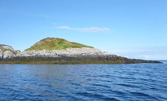
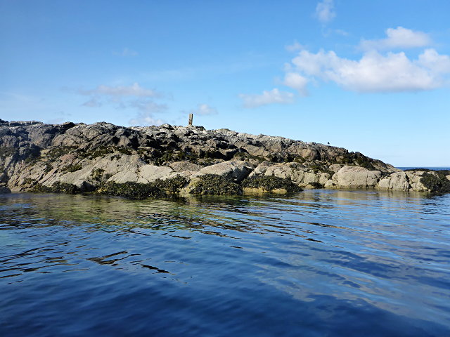
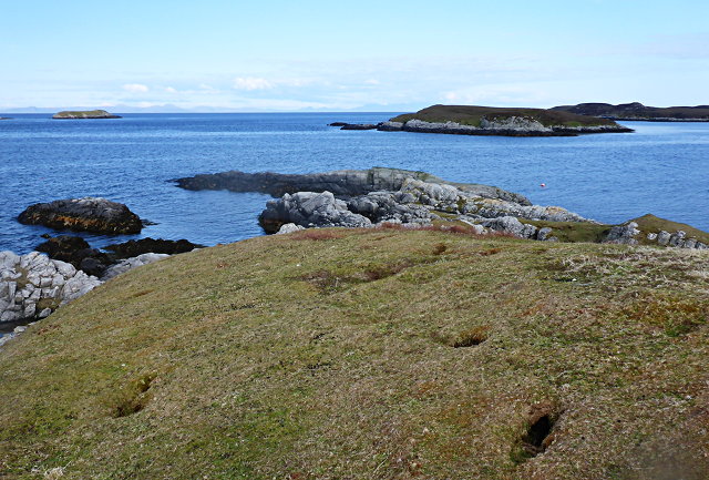
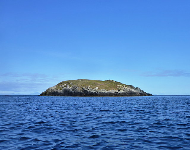
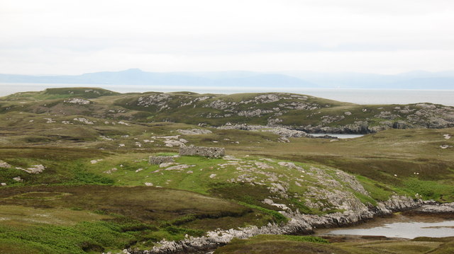
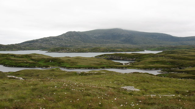
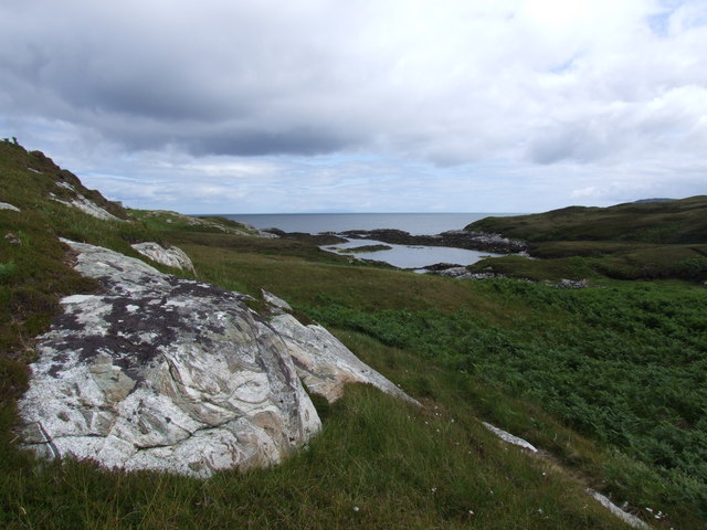
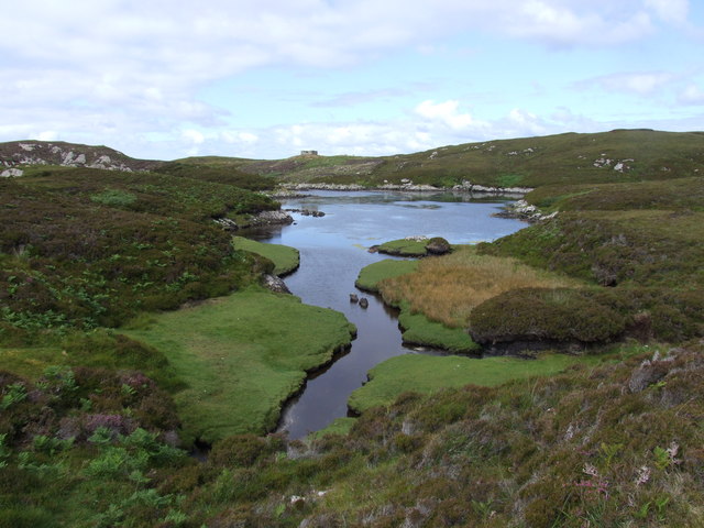
Eilean Mhic' ille Phadruig is a small island located in Inverness-shire, Scotland. It is situated in Loch Maree, which is a freshwater lake known for its stunning natural beauty. The island is approximately 0.6 hectares in size, making it quite small in comparison to other islands in the area.
The name "Eilean Mhic' ille Phadruig" translates to "the island of the son of Peter" in English. The island is named after a local family who once owned the land in the 19th century. The island is uninhabited and is mainly covered in dense vegetation, including various types of trees and shrubs.
The island is a popular spot for nature lovers and birdwatchers due to its diverse wildlife. It is home to a variety of bird species, including golden eagles, ospreys, and various waterfowl. Visitors can often spot these birds nesting or hunting in the surrounding waters.
Access to Eilean Mhic' ille Phadruig is possible by boat, with several local operators offering tours to the island. Visitors can enjoy a peaceful and serene experience, surrounded by the stunning landscape of Loch Maree. There are no facilities or amenities on the island, so visitors are advised to bring their own supplies and be respectful of the natural environment.
Overall, Eilean Mhic' ille Phadruig is a picturesque and tranquil island in Inverness-shire, offering visitors a chance to immerse themselves in the beauty of Scotland's wilderness.
If you have any feedback on the listing, please let us know in the comments section below.
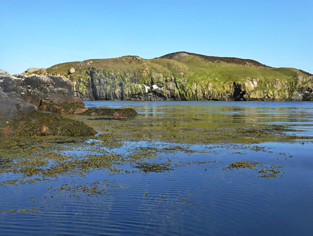
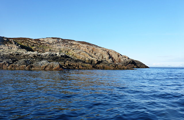
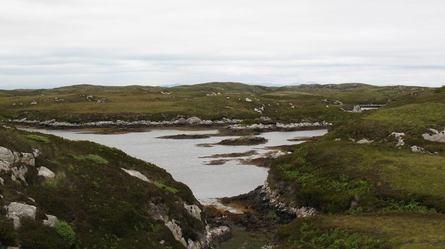
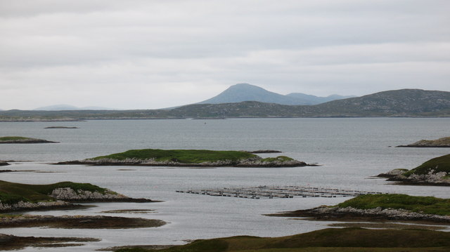
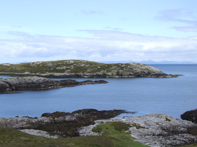
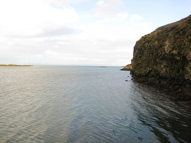
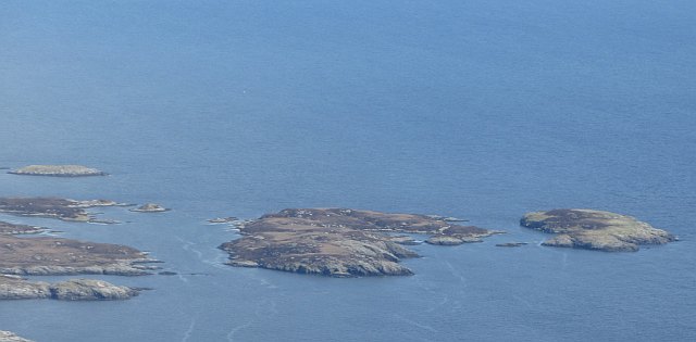
Eilean Mhic' ille Phadruig Images
Images are sourced within 2km of 57.352942/-7.2323137 or Grid Reference NF8541. Thanks to Geograph Open Source API. All images are credited.


Eilean Mhic' ille Phadruig is located at Grid Ref: NF8541 (Lat: 57.352942, Lng: -7.2323137)
Unitary Authority: Na h-Eileanan an Iar
Police Authority: Highlands and Islands
What 3 Words
///seaweed.alpha.brother. Near Balivanich, Na h-Eileanan Siar
Nearby Locations
Related Wikis

Eilean na Cille
Eilean na Cille, south east of Benbecula is an island of the Outer Hebrides connected to Grimsay (South) by a causeway which carries the B891. The road...

Wiay, Outer Hebrides
Wiay (Scottish Gaelic: Bhuia or Fuidheigh) is an uninhabited island in the Outer Hebrides. It lies south-east of Benbecula and measures approximately...

Grimsay (South East Benbecula)
Grimsay, south east of Benbecula is a tidal island of the Outer Hebrides. It is connected to Benbecula by a causeway which carries the B891. In the 2001...

Ushenish Lighthouse
The Ushenish Lighthouse is an active lighthouse located in South Uist, Outer Hebrides, Scotland. == History == Ushenish Lighthouse was designed by engineers...
Have you been to Eilean Mhic' ille Phadruig?
Leave your review of Eilean Mhic' ille Phadruig below (or comments, questions and feedback).