Moelwynion
Range Of Mountains, Range Of Hills in Merionethshire
Wales
Moelwynion
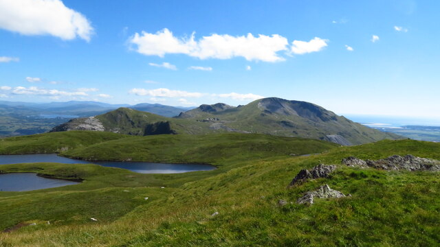
Moelwynion is a range of mountains located in the county of Merionethshire, Wales. Situated in Snowdonia National Park, it forms a part of the vast Snowdonia mountain range. Moelwynion stretches approximately 12 miles from north to south, and its highest peak, Moelwyn Mawr, stands at an impressive elevation of 2,526 feet.
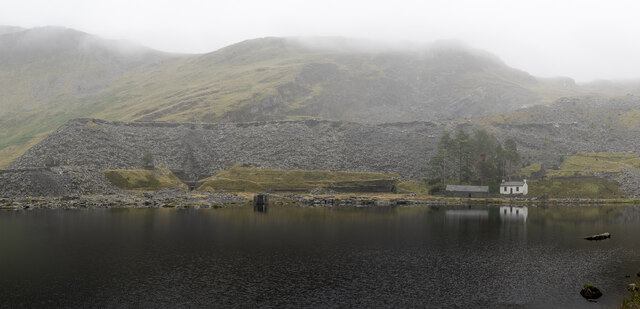
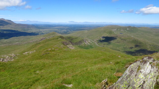
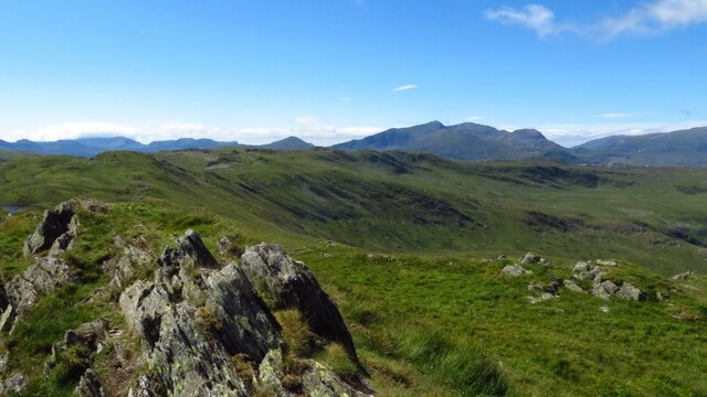
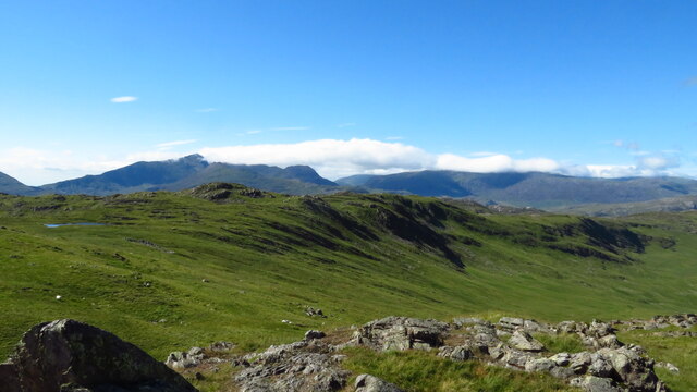
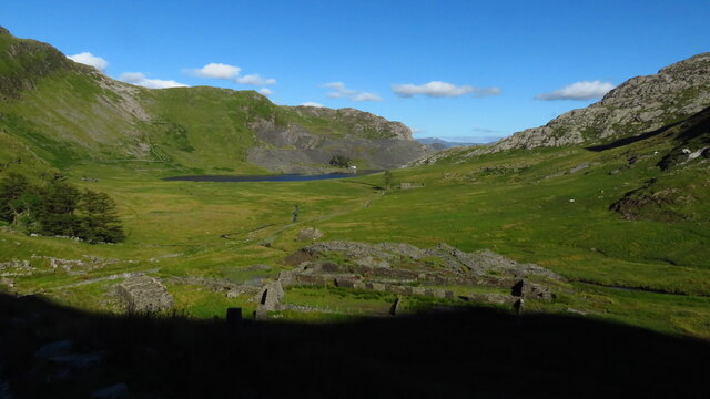
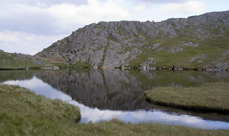
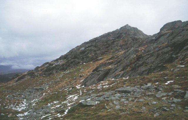
The range is composed of a series of steep, craggy peaks, with deep valleys and rugged terrain. Moelwynion is characterized by its distinctive slate grey and rocky landscapes, which provide breathtaking views for hikers and mountaineers. The mountains are also home to several lakes, including Llyn Stwlan and Llyn Cwmorthin, adding to the natural beauty of the area.
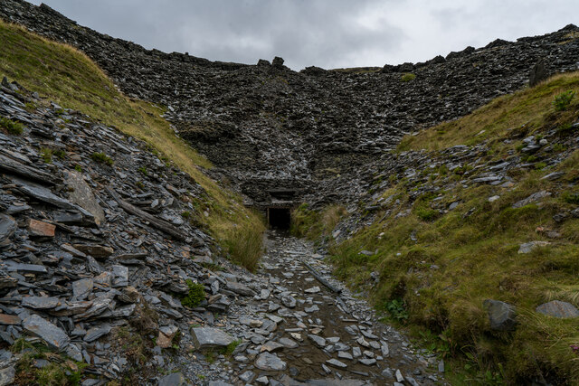
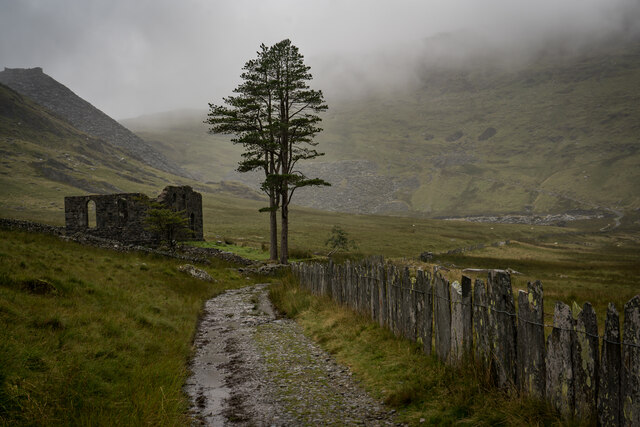
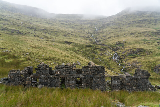
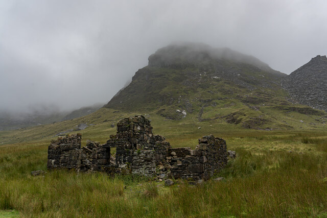
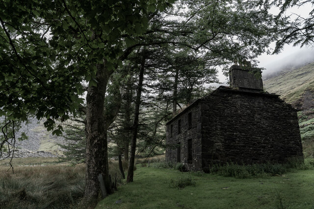
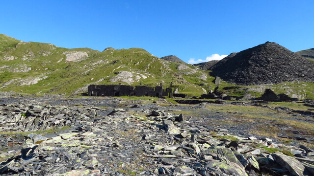
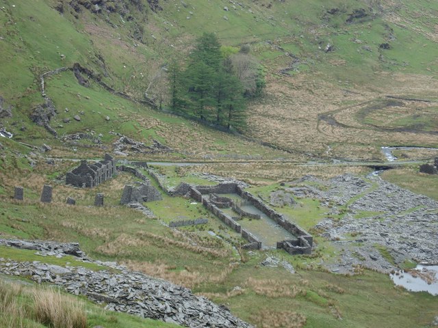
Moelwynion has a rich history, with evidence of human activity dating back to the Bronze Age. The mountains were once a hub for slate mining, with numerous mines operating in the area during the 19th and early 20th centuries. Today, remnants of the mining industry, such as old mine entrances and abandoned buildings, can still be seen scattered throughout the range.
The range offers a variety of outdoor activities, attracting nature enthusiasts and adventure seekers year-round. Hiking and climbing are popular pursuits, with several well-marked trails and challenging routes available for all levels of experience. Additionally, the area is renowned for its picturesque scenery, making it a favorite destination for photographers and artists alike.
Overall, Moelwynion in Merionethshire is a stunning range of mountains, offering a unique blend of natural beauty, cultural heritage, and outdoor recreation opportunities.
If you have any feedback on the listing, please let us know in the comments section below.
Moelwynion Images
Images are sourced within 2km of 53.008653/-3.9897577 or Grid Reference SH6647. Thanks to Geograph Open Source API. All images are credited.


Moelwynion is located at Grid Ref: SH6647 (Lat: 53.008653, Lng: -3.9897577)
Unitary Authority: Gwynedd
Police Authority: North Wales
Also known as: The Moelwyns
What 3 Words
///harmony.botanists.bashful. Near Blaenau-Ffestiniog, Gwynedd
Nearby Locations
Related Wikis

Moel Druman
Moel Druman is a mountain in Snowdonia, North Wales and forms part of the Moelwynion. It is a subsidiary summit of Allt-fawr. == References == == External... ==

Ysgafell Wen
Ysgafell Wen is a subsidiary summit of Allt-fawr in Snowdonia, North Wales. It is the highest point on a broad ridge that stretches to the north-west of...
Ysgafell Wen Far North Top
Ysgafell Wen Far North Top is a top of Ysgafell Wen North Top in Snowdonia, North Wales. It lies directly to the west of Ysgafell Wen North Top, and rises...
Ysgafell Wen North Top
Ysgafell Wen North Top is a peak on a ridge in Snowdonia, North Wales. It lies to the north of the highest summit on the ridge Ysgafell Wen. It is a subsidiary...
Conglog quarry
Conglog quarry was a small enterprise situated to the north-west of Tanygrisiau, near Blaenau Ffestiniog in Wales. It was overshadowed by the much bigger...

North West Wales
North West Wales (Welsh: Gogledd-Orllewin Cymru) is an area or region of Wales, commonly defined as a grouping of the principal areas of Conwy County Borough...

Rhosydd quarry
Rhosydd quarry was a slate quarry in the Moelwyn mountains, northeast of Porthmadog in North Wales. Small-scale working of the site began in the 1830s...

Allt-fawr
Allt-fawr is a mountain in Snowdonia, North Wales and forms part of the Moelwynion group. It is on the internal border of Snowdonia National Park, and...
Nearby Amenities
Located within 500m of 53.008653,-3.9897577Have you been to Moelwynion?
Leave your review of Moelwynion below (or comments, questions and feedback).