Llyn Côch
Lake, Pool, Pond, Freshwater Marsh in Merionethshire
Wales
Llyn Côch
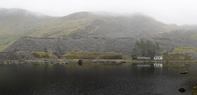
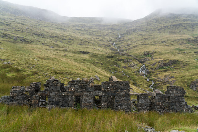
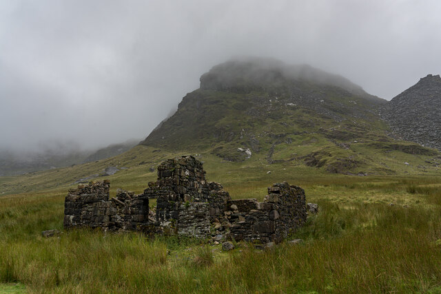
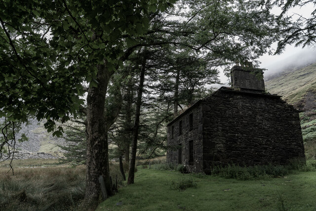
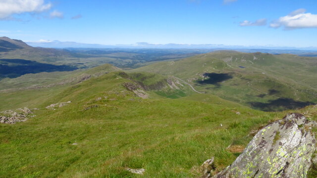
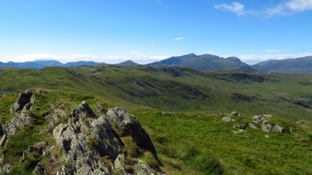
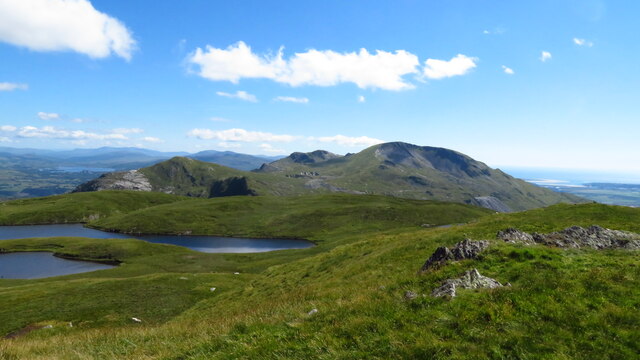
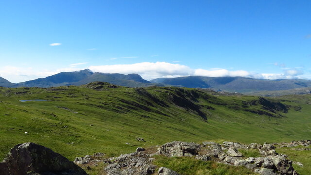
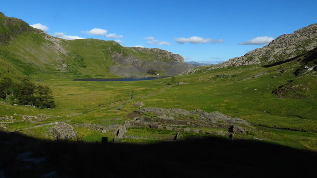
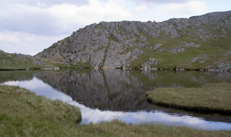
Llyn Côch is a stunning freshwater lake located in Merionethshire, Wales. Nestled amidst the breathtaking Snowdonia National Park, this lake is a true gem of natural beauty. With its tranquil waters and picturesque surroundings, Llyn Côch attracts both locals and tourists alike.
Covering an area of approximately 60 acres, Llyn Côch is surrounded by lush greenery and rolling hills, creating a serene and peaceful atmosphere. The lake is fed by numerous small streams that flow down from the adjacent mountains, ensuring a constant supply of fresh water. Its crystal-clear waters reflect the stunning landscape, making it a popular spot for photographers and nature enthusiasts.
Llyn Côch is home to a diverse array of wildlife, including several species of fish and birds. Anglers flock to the lake to try their luck at catching trout, perch, and pike, while birdwatchers can spot a variety of waterfowl, such as swans, ducks, and herons.
The lake is also surrounded by a rich tapestry of vegetation, including cattails, reeds, and water lilies, which provide a haven for insects and small amphibians. This vibrant ecosystem contributes to the overall biodiversity of the area.
Visitors to Llyn Côch can enjoy a range of outdoor activities, including boating, fishing, and hiking. The lake is easily accessible, with a nearby car park and footpaths leading to its shores. Whether it's a peaceful stroll, a picnic by the water's edge, or simply admiring the stunning vistas, Llyn Côch offers a refreshing escape into nature.
If you have any feedback on the listing, please let us know in the comments section below.
Llyn Côch Images
Images are sourced within 2km of 53.010131/-3.9857414 or Grid Reference SH6647. Thanks to Geograph Open Source API. All images are credited.


Llyn Côch is located at Grid Ref: SH6647 (Lat: 53.010131, Lng: -3.9857414)
Unitary Authority: Gwynedd
Police Authority: North Wales
What 3 Words
///awoken.signature.photo. Near Blaenau-Ffestiniog, Gwynedd
Nearby Locations
Related Wikis

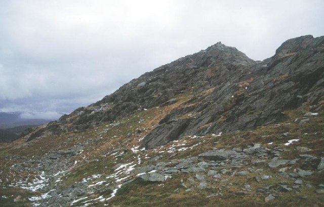
Moel Druman
Moel Druman is a mountain in Snowdonia, North Wales and forms part of the Moelwynion. It is a subsidiary summit of Allt-fawr. == References == == External... ==

Ysgafell Wen
Ysgafell Wen is a subsidiary summit of Allt-fawr in Snowdonia, North Wales. It is the highest point on a broad ridge that stretches to the north-west of...
Ysgafell Wen Far North Top
Ysgafell Wen Far North Top is a top of Ysgafell Wen North Top in Snowdonia, North Wales. It lies directly to the west of Ysgafell Wen North Top, and rises...
Ysgafell Wen North Top
Ysgafell Wen North Top is a peak on a ridge in Snowdonia, North Wales. It lies to the north of the highest summit on the ridge Ysgafell Wen. It is a subsidiary...
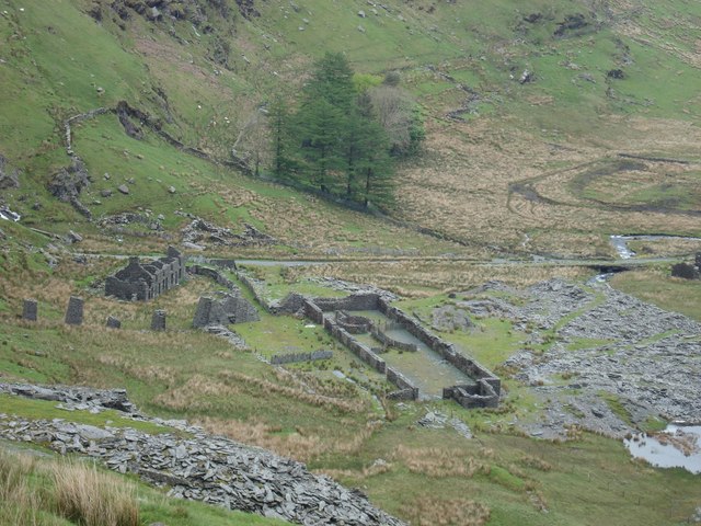
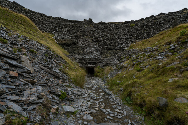
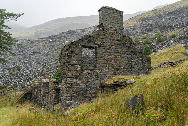
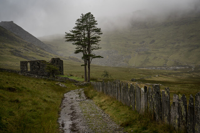
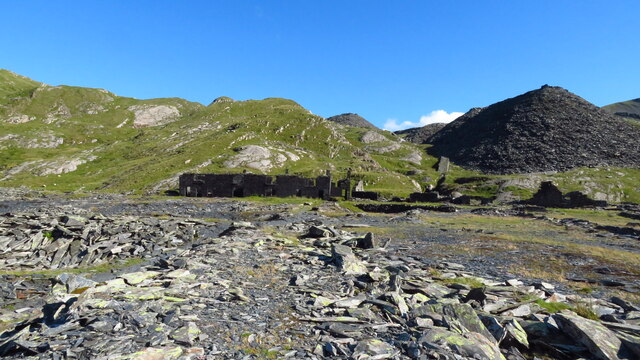
Conglog quarry
Conglog quarry was a small enterprise situated to the north-west of Tanygrisiau, near Blaenau Ffestiniog in Wales. It was overshadowed by the much bigger...

Allt-fawr
Allt-fawr is a mountain in Snowdonia, North Wales and forms part of the Moelwynion group. It is on the internal border of Snowdonia National Park, and...

North West Wales
North West Wales (Welsh: Gogledd-Orllewin Cymru) is an area or region of Wales, commonly defined as a grouping of the principal areas of Conwy County Borough...

Rhosydd quarry
Rhosydd quarry was a slate quarry in the Moelwyn mountains, northeast of Porthmadog in North Wales. Small-scale working of the site began in the 1830s...
Nearby Amenities
Located within 500m of 53.010131,-3.9857414Have you been to Llyn Côch?
Leave your review of Llyn Côch below (or comments, questions and feedback).