Hills of Grobsness

Range Of Mountains, Range Of Hills in Shetland

Scotland

Hills of Grobsness

Pier at Gon Firth, Shetland The pier is used to work the salmon cages seen further out in Gon Firth.
Pier at Gon Firth, Shetland Credit: John Dally

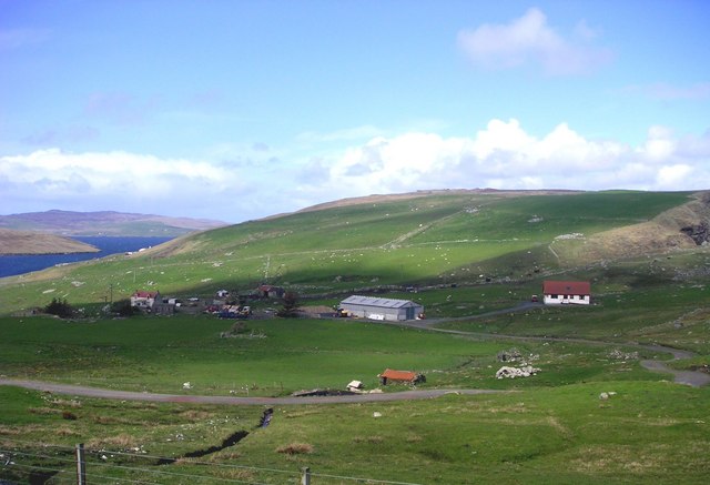
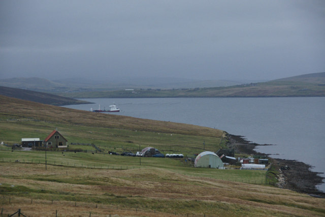
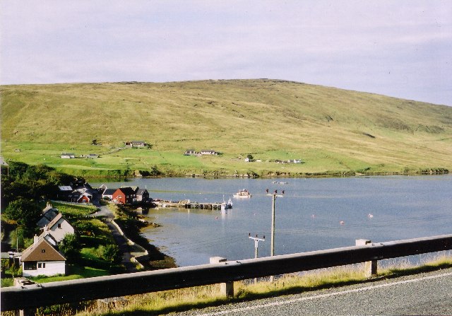
The Hills of Grobsness is a range of mountains located in the Shetland Islands, off the northeastern coast of Scotland. This range, also referred to as the Grobsness Hills or Grobsness Range, is situated in the southern part of the Shetland Mainland.

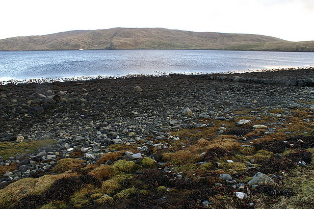
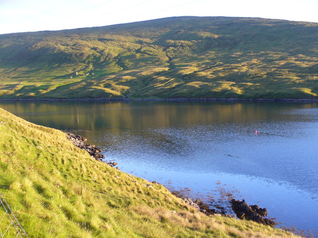
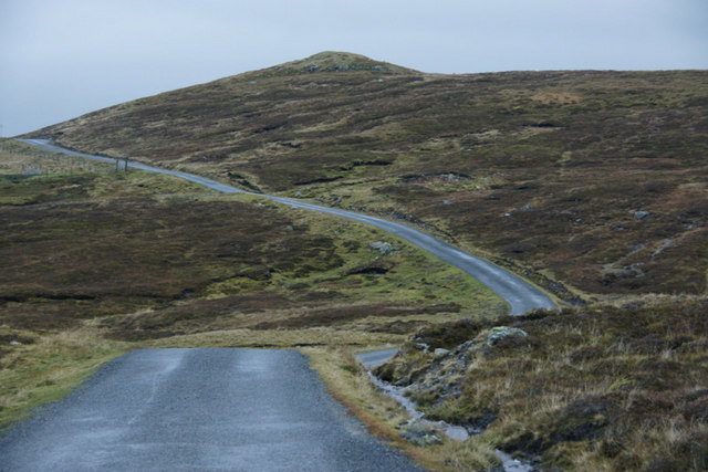
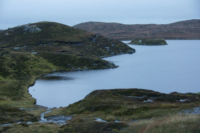
The Hills of Grobsness stretch across approximately 7 kilometers (4.3 miles) and boast an average elevation of around 200 meters (656 feet). Despite not being particularly high, they offer stunning panoramic views of the surrounding landscapes and the North Sea.

These hills are characterized by their gentle slopes and rounded peaks, which are a result of glacial erosion during the Ice Age. The rocks found in the range are mainly composed of granite and gneiss, adding to the scenic beauty of the area.

The Grobsness Hills are home to a variety of flora and fauna, including heather, mosses, and diverse bird species. The area is also rich in archaeological sites, with ancient settlements and burial grounds scattered throughout the hills. These historical remnants provide insights into the early human habitation of the Shetland Islands.

The Hills of Grobsness attract nature enthusiasts, hikers, and photographers who are drawn to the picturesque landscapes and the tranquility of the surroundings. Visitors can explore the hills through a network of walking paths, which offer different levels of difficulty to suit various skill levels.

Overall, the Hills of Grobsness present a captivating natural setting, showcasing the unique beauty and geological history of the Shetland Islands.

If you have any feedback on the listing, please let us know in the comments section below.

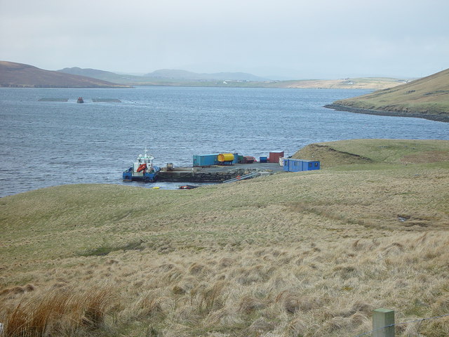
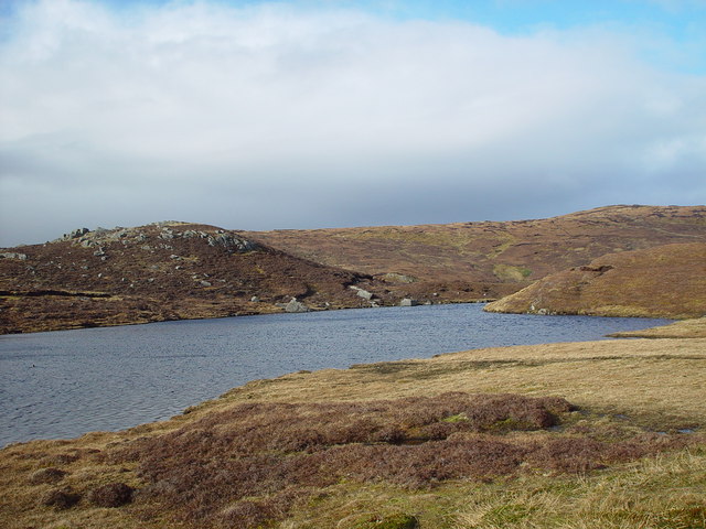
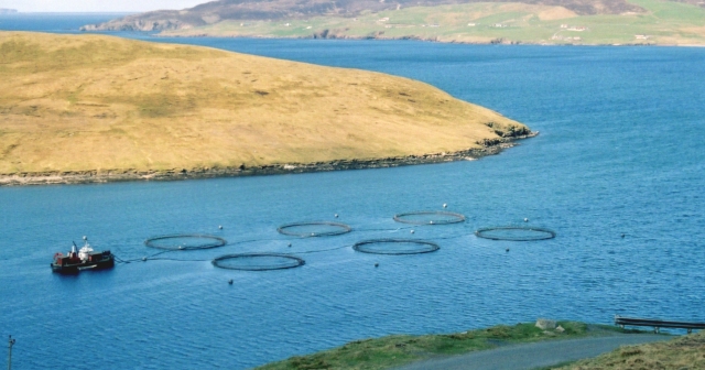
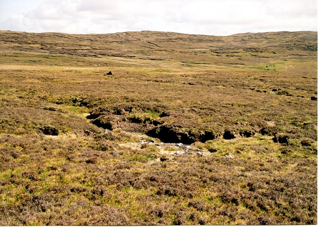
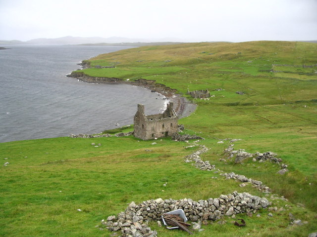
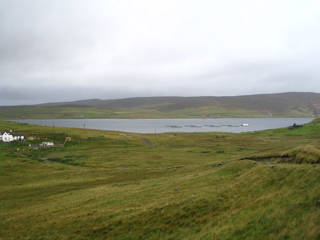
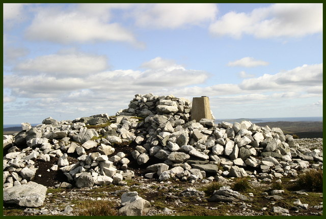
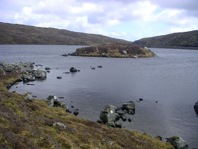
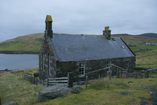
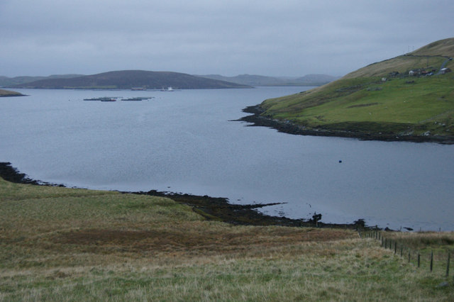
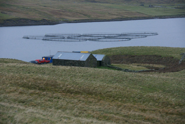
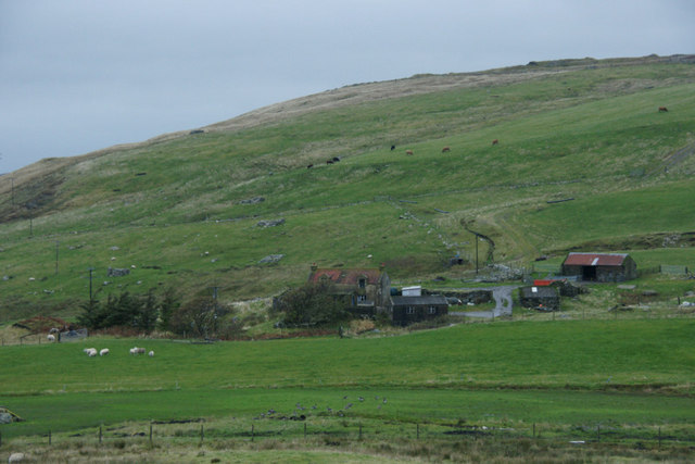
Hills of Grobsness Images

Images are sourced within 2km of 60.350298/-1.3205821 or Grid Reference HU3763. Thanks to Geograph Open Source API. All images are credited.

Pier at Gon Firth, Shetland The pier is used to work the salmon cages seen further out in Gon Firth.
Pier at Gon Firth, Shetland
The pier is used to work the salmon cages seen further out in Gon Firth.
Lochan near Loch of Gonfirth, Shetland Just SW of the Loch of Gonfirth lies another small lochan.
Lochan near Loch of Gonfirth, Shetland
Just SW of the Loch of Gonfirth lies another small lochan.
Gon Firth Fish farms take advantage of the sheltered waters of Shetland, such as Gon Firth.
Gon Firth
Fish farms take advantage of the sheltered waters of Shetland, such as Gon Firth.
Hill of Lee Heather moor above Lee of Gonfirth
Hill of Lee
Heather moor above Lee of Gonfirth
Ruined Haa at Grobsness
Valley between Grobs Ness and the Hills of Grobsness "The Houses" of Grobsness are on the extreme left and Olna is visible across Olna Firth.
Valley between Grobs Ness and the Hills of Grobsness
"The Houses" of Grobsness are on the extreme left and Olna is visible across Olna Firth.
Triangulation Point Trig point surrounded by rocks. Location gives panoramic views all round including the township of Voe and Brae. Muckle Roe and the isles of Linga, Papa Little and on the horizon Foula which dominates most views to the west.
Triangulation Point
Trig point surrounded by rocks. Location gives panoramic views all round including the township of Voe and Brae. Muckle Roe and the isles of Linga, Papa Little and on the horizon Foula which dominates most views to the west.
Loch of Gonfirth View from the west shore looking out to the small holm with interesting archaeological features and may have been connected to the shore in the past.
Loch of Gonfirth
View from the west shore looking out to the small holm with interesting archaeological features and may have been connected to the shore in the past.
Gonfirth houses.
Gonfirth houses.
Coastline west of Foula Wick, Wethersta Looking across Olna Firth to the Hill of Grobsness.
Coastline west of Foula Wick, Wethersta
Looking across Olna Firth to the Hill of Grobsness.
Kurkigarth, Olna Firth The hollows on the hillside along the southern side of the firth are picked out by the low evening sunshine. Kurkigarth ruins are visible on the lower slopes of the hill, Sneugie.
Kurkigarth, Olna Firth
The hollows on the hillside along the southern side of the firth are picked out by the low evening sunshine. Kurkigarth ruins are visible on the lower slopes of the hill, Sneugie.
Houses at Cole beside Gon Firth
Former church at Gonfirth
Head of Gon Firth
Head of Gon Firth
Fish farm in Gon Firth The buildings are beside a small pier.
Fish farm in Gon Firth
The buildings are beside a small pier.
Houses at Gonfirth
Houses at Gonfirth
The road to Grobsness
Loch of Gonfirth
Loch of Gonfirth
Show me another place!

Hills of Grobsness is located at Grid Ref: HU3763 (Lat: 60.350298, Lng: -1.3205821)

Unitary Authority: Shetland Islands

Police Authority: Highlands and Islands

What 3 Words

///flagging.bedroom.warriors. Near Brae, Shetland Islands

Related Wikis

Shetland

Shetland, also called the Shetland Islands, is an archipelago in Scotland lying between Orkney, the Faroe Islands, and Norway. It is the northernmost region...

Linga, Busta Voe

Linga is a small, uninhabited island, 1 km (0.62 mi) east of Muckle Roe in the Shetland Islands. The island is roughly circular in shape and its highest...

Voe, Delting

Voe is a village in Delting parish on Mainland, Shetland, Scotland. It is one of the three main settlements in Delting. It is at the junction of the A968...

Busta Voe

Busta Voe, (HU665350), in the north central Mainland, Shetland, is a sea inlet lying between the village of Brae and the island of Muckle Roe. At the head...

Have you been to Hills of Grobsness?

Leave your review of Hills of Grobsness below (or comments, questions and feedback).