Grobsness

Settlement in Shetland

Scotland

Grobsness

Gon Firth Gon Firth is a short inlet to the south of Olna Firth. This is the head of the inlet, with the houses of South Voxter on the hill above it.
Gon Firth Credit: Anne Burgess

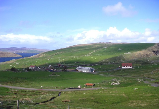
Grobsness is a picturesque village located on the west coast of Shetland, an archipelago off the north coast of Scotland. Situated on the mainland of Shetland, Grobsness is known for its stunning natural beauty, rugged landscapes, and rich history.

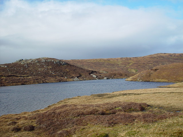
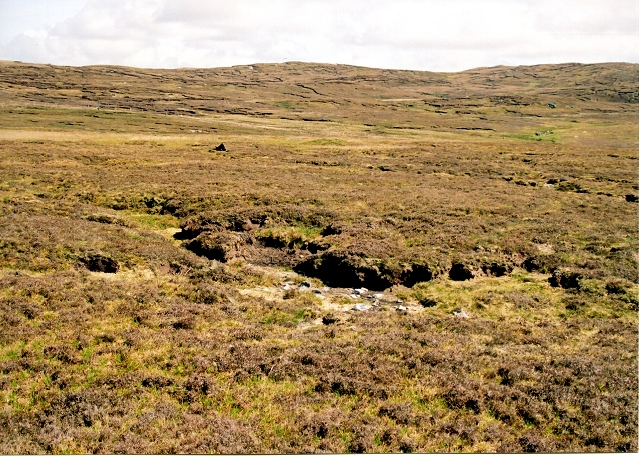
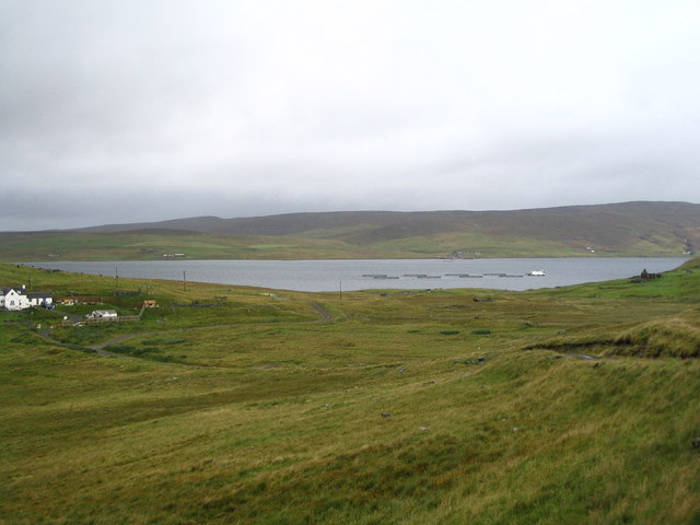
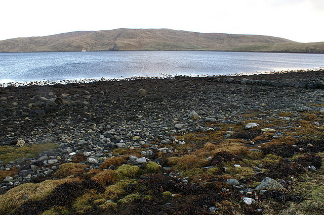
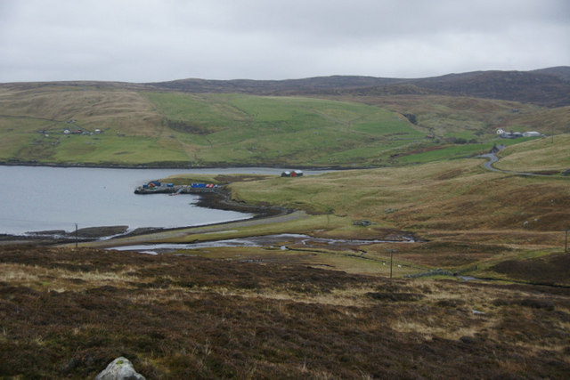
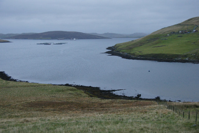
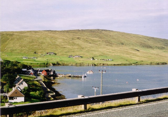
The village is surrounded by rolling hills, sandy beaches, and pristine coastline, offering breathtaking views of the North Atlantic Ocean. Its remote location makes it an ideal destination for those seeking tranquility and a chance to connect with nature. Grobsness is home to a diverse range of wildlife, including seals, seabirds, and even otters, which can often be spotted along the shore.

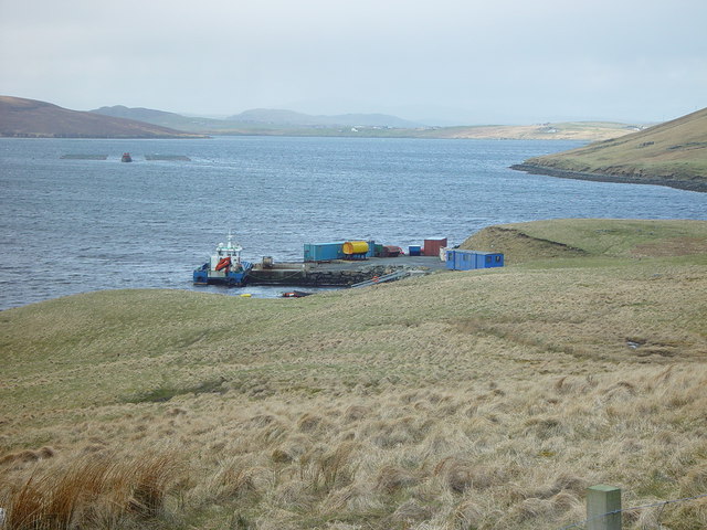
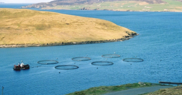
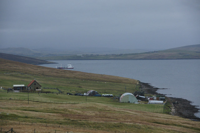
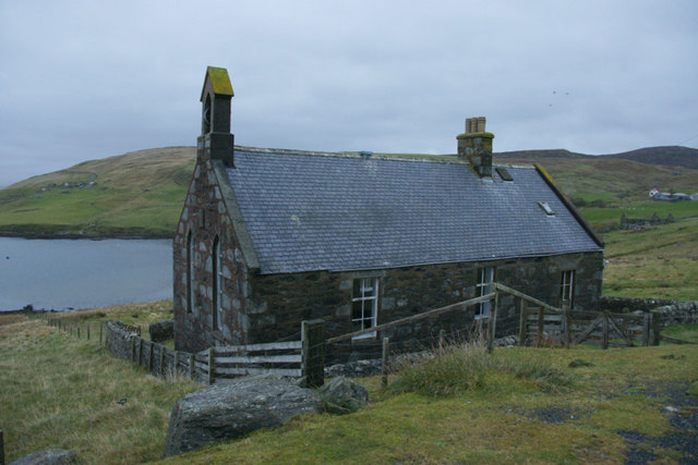
The village itself is small but charming, with traditional stone houses and friendly locals. It has a close-knit community, and visitors are often welcomed with warmth and hospitality. The nearby Grobsness Bay is a popular spot for fishing and boating, attracting both locals and tourists alike.

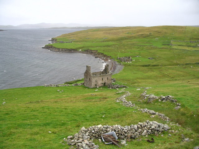
Grobsness has a rich history that dates back centuries. The ruins of an ancient broch, a type of Iron Age roundhouse, can still be seen in the area. These historical sites serve as a reminder of the village's past and offer a glimpse into the lives of its early inhabitants.

Overall, Grobsness is a hidden gem in Shetland, offering visitors a chance to immerse themselves in nature, explore historical sites, and experience the unique charm of a remote Scottish village.

If you have any feedback on the listing, please let us know in the comments section below.

Grobsness Images

Images are sourced within 2km of 60.349338/-1.3314015 or Grid Reference HU3763. Thanks to Geograph Open Source API. All images are credited.

Gon Firth Gon Firth is a short inlet to the south of Olna Firth. This is the head of the inlet, with the houses of South Voxter on the hill above it.
Gon Firth
Gon Firth is a short inlet to the south of Olna Firth. This is the head of the inlet, with the houses of South Voxter on the hill above it.
Ayre of Voxter, Gon Firth, Shetland Where the Burn of Voxter enters Gon Firth a strip of land or 'ayre' extends across from east to west with the burn cutting through at the west end.
Ayre of Voxter, Gon Firth, Shetland
Where the Burn of Voxter enters Gon Firth a strip of land or 'ayre' extends across from east to west with the burn cutting through at the west end.
Pier at Gon Firth, Shetland The pier is used to work the salmon cages seen further out in Gon Firth.
Pier at Gon Firth, Shetland
The pier is used to work the salmon cages seen further out in Gon Firth.
Lochan near Loch of Gonfirth, Shetland Just SW of the Loch of Gonfirth lies another small lochan.
Lochan near Loch of Gonfirth, Shetland
Just SW of the Loch of Gonfirth lies another small lochan.
Gon Firth Fish farms take advantage of the sheltered waters of Shetland, such as Gon Firth.
Gon Firth
Fish farms take advantage of the sheltered waters of Shetland, such as Gon Firth.
Hill of Lee Heather moor above Lee of Gonfirth
Hill of Lee
Heather moor above Lee of Gonfirth
Ruined Haa at Grobsness
Valley between Grobs Ness and the Hills of Grobsness "The Houses" of Grobsness are on the extreme left and Olna is visible across Olna Firth.
Valley between Grobs Ness and the Hills of Grobsness
"The Houses" of Grobsness are on the extreme left and Olna is visible across Olna Firth.
Triangulation Point Trig point surrounded by rocks. Location gives panoramic views all round including the township of Voe and Brae. Muckle Roe and the isles of Linga, Papa Little and on the horizon Foula which dominates most views to the west.
Triangulation Point
Trig point surrounded by rocks. Location gives panoramic views all round including the township of Voe and Brae. Muckle Roe and the isles of Linga, Papa Little and on the horizon Foula which dominates most views to the west.
Loch of Gonfirth View from the west shore looking out to the small holm with interesting archaeological features and may have been connected to the shore in the past.
Loch of Gonfirth
View from the west shore looking out to the small holm with interesting archaeological features and may have been connected to the shore in the past.
Gonfirth houses.
Gonfirth houses.
Coastline west of Foula Wick, Wethersta Looking across Olna Firth towards Grobsness.
Coastline west of Foula Wick, Wethersta
Looking across Olna Firth towards Grobsness.
Coastline west of Foula Wick, Wethersta Looking across Olna Firth to the Hill of Grobsness.
Coastline west of Foula Wick, Wethersta
Looking across Olna Firth to the Hill of Grobsness.
Ayre of Voxter, Gonfirth
Houses at Cole beside Gon Firth
Ruined crofthouse at Moon, South Voxter
Former church at Gonfirth
Head of Gon Firth
Head of Gon Firth
Show me another place!

Grobsness is located at Grid Ref: HU3763 (Lat: 60.349338, Lng: -1.3314015)

Unitary Authority: Shetland Islands

Police Authority: Highlands and Islands

What 3 Words

///hamper.cookbooks.films. Near Brae, Shetland Islands

Related Wikis

Linga, Busta Voe

Linga is a small, uninhabited island, 1 km (0.62 mi) east of Muckle Roe in the Shetland Islands. The island is roughly circular in shape and its highest...

Shetland

Shetland, also called the Shetland Islands, is an archipelago in Scotland lying between Orkney, the Faroe Islands, and Norway. It is the northernmost region...

Voe, Delting

Voe is a village in Delting parish on Mainland, Shetland, Scotland. It is one of the three main settlements in Delting. It is at the junction of the A968...

Papa Little

Papa Little (Scots: Papa Little; Old Norse: Papey Litla, meaning "the little island of the priests") is an island in St Magnus Bay, Shetland, Scotland...

Nearby Amenities

Located within 500m of 60.349338,-1.3314015
Power: pole
Lat/Long: 60.3464914/-1.3375644
Power: pole
Lat/Long: 60.3470776/-1.3379147
Power: pole
Lat/Long: 60.3474635/-1.3375599
Power: pole
Lat/Long: 60.3483164/-1.3367525
Power: pole
Lat/Long: 60.3490972/-1.3360157
Power: pole
Lat/Long: 60.3496462/-1.3354903
Power: pole
Lat/Long: 60.3502358/-1.3349513
Power: pole
Lat/Long: 60.3507848/-1.3344283
Power: pole
Lat/Long: 60.3514621/-1.3337938
Power: pole
Lat/Long: 60.3520111/-1.3332775
Power: pole
Lat/Long: 60.3524937/-1.3328295
Power: pole
Lat/Long: 60.3532924/-1.3320858
The data included in this document is from www.openstreetmap.org. The data is made available under ODbL.

Have you been to Grobsness?

Leave your review of Grobsness below (or comments, questions and feedback).