Barton
Settlement in Somerset
England
Barton

Barton is a small village located in the county of Somerset, England. Situated in the Mendip district, it lies approximately 8 miles south of the city of Bristol. With a population of around 600 residents, Barton boasts a charming rural setting that is highly sought after by those seeking a peaceful and idyllic lifestyle.
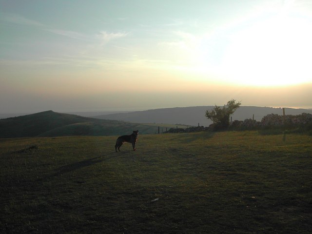
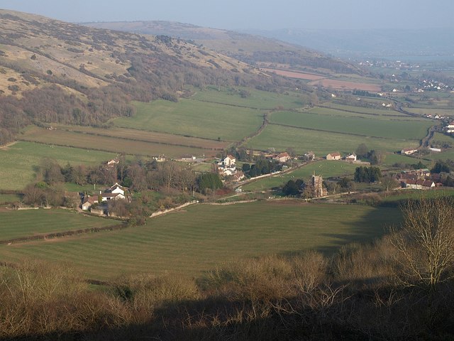
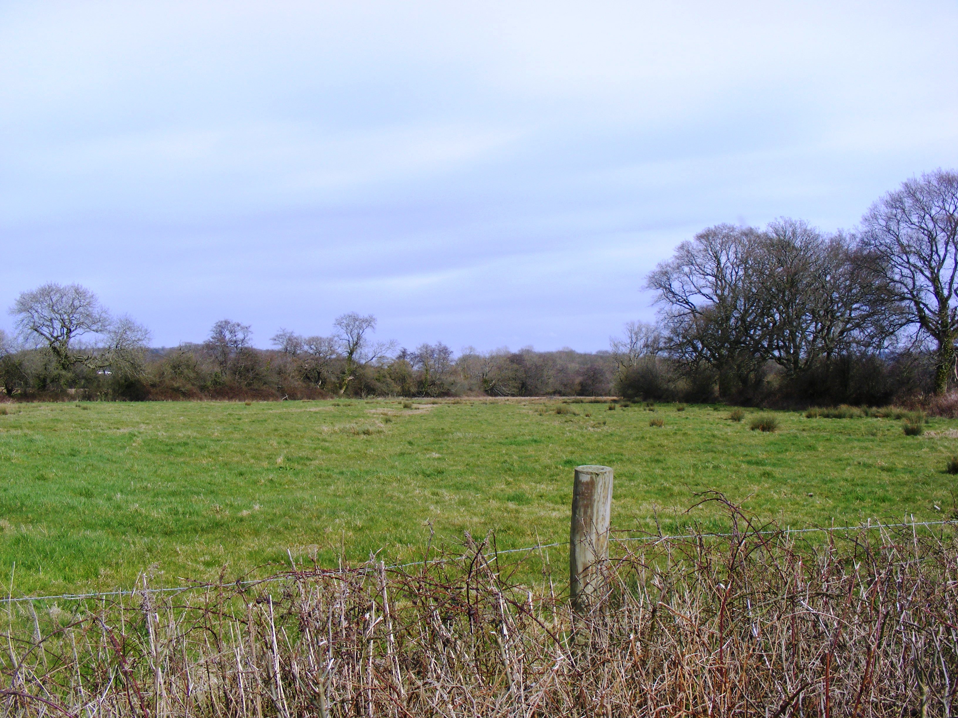
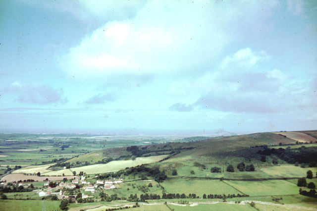
The village is known for its picturesque landscapes, surrounded by rolling hills and lush green fields. The River Chew flows through Barton, adding to its natural beauty and providing opportunities for leisurely walks along its banks. The nearby Mendip Hills offer stunning views and are popular among hikers and nature enthusiasts.
Barton is a close-knit community with a strong sense of community spirit. It has a primary school that caters to local children, ensuring easy access to education within the village. The village also has a village hall, which serves as a hub for various community events and activities.
While mainly a residential area, Barton is in close proximity to larger towns and cities, including Bristol and Bath, which provide residents with a range of amenities and employment opportunities. The village benefits from good transport links, with nearby motorways and railway stations making commuting to nearby urban areas convenient.
Overall, Barton, Somerset, offers a tranquil and scenic setting for residents to enjoy a peaceful countryside lifestyle while still being within reach of larger towns and cities.
If you have any feedback on the listing, please let us know in the comments section below.
Barton Images
Images are sourced within 2km of 51.306233/-2.868321 or Grid Reference ST3956. Thanks to Geograph Open Source API. All images are credited.


Barton is located at Grid Ref: ST3956 (Lat: 51.306233, Lng: -2.868321)
Unitary Authority: North Somerset
Police Authority: Avon and Somerset
What 3 Words
///singer.galloping.stepping. Near Banwell, Somerset
Nearby Locations
Related Wikis
Compton Bishop
Compton Bishop is a small village and civil parish, at the western end of the Mendip Hills in the English county of Somerset. It is located close to the...
Max Bog
Max Bog is a 10.6 hectare biological Site of Special Scientific Interest in North Somerset, notified in 1988. The site is owned by North Somerset Council...

Crook Peak to Shute Shelve Hill
Crook Peak to Shute Shelve Hill is a 332.2 hectare (820.9 acre) geological and biological Site of Special Scientific Interest near the western end of the...

Picken's Hole
Picken's Hole is a small cave on the southern side of Crook Peak in the Mendip Hills in the English county of Somerset. It has been designated as a scheduled...

Banwell Castle
Banwell Castle is a Victorian Gothic Revival mansion in Banwell, Somerset, England. It is a Grade II* listed building. == History == The land on which...

Lox Yeo
The Lox Yeo is a short river in North Somerset, England. It rises at Winscombe and flows south west for about 6 kilometres (4 mi) to join the River Axe...
Loxton, Somerset
Loxton is a village and civil parish in Somerset, England. It is close to the M5 motorway in the unitary authority of North Somerset. The parish includes...

Banwell
Banwell is a village and civil parish on the River Banwell in the North Somerset district of Somerset, England. Its population was 3,251 according to the...
Nearby Amenities
Located within 500m of 51.306233,-2.868321Have you been to Barton?
Leave your review of Barton below (or comments, questions and feedback).