Barton Hill

Hill, Mountain in Somerset

England

Barton Hill

Compton Bishop Church The church of St Andrew, dating from 1306, in the Somerset village of Compton Bishop, nestles beneath the slopes of Crook Peak and the Mendip Hills.
Compton Bishop Church Credit: Martin Clark

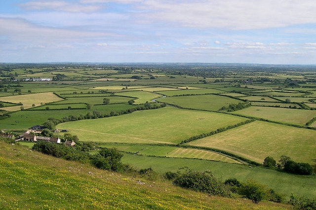
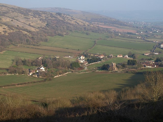
Barton Hill is a prominent hill located in the picturesque county of Somerset, England. Situated in the Mendip Hills Area of Outstanding Natural Beauty, it offers breathtaking panoramic views of the surrounding countryside. Rising to an elevation of approximately 307 meters (1,007 feet), Barton Hill is often referred to as a mountain due to its impressive height and steep slopes.

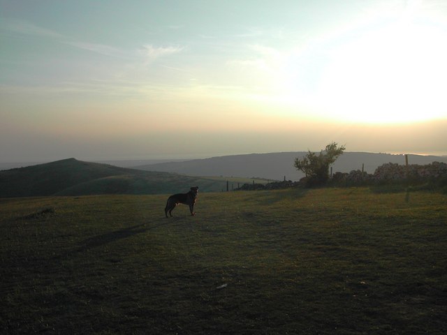
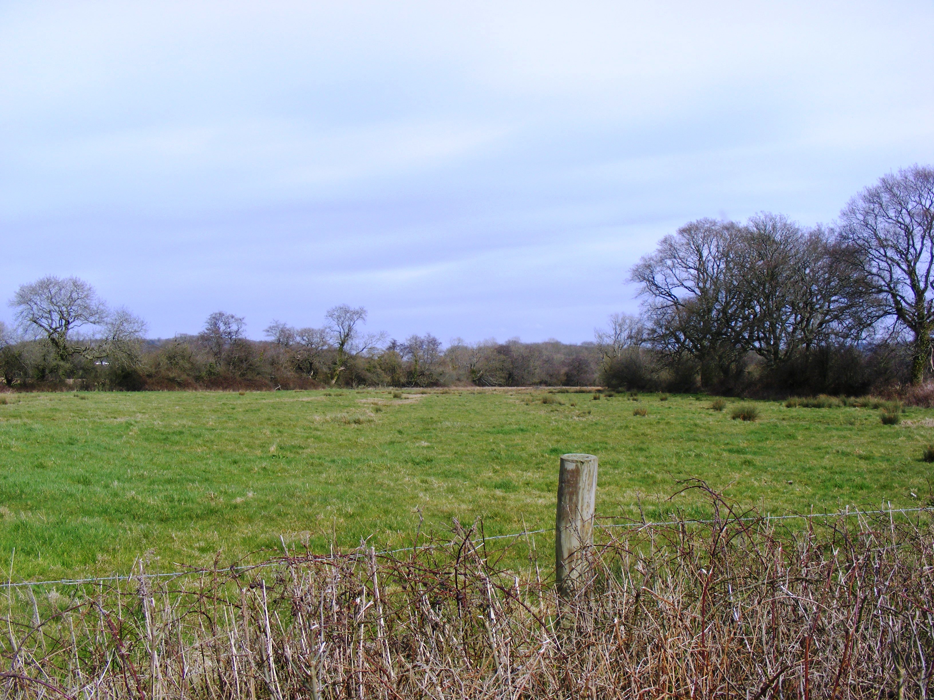
The hill is covered in lush greenery, with a diverse range of vegetation including grasses, bracken, and heathland. It is home to a variety of wildlife, with birds such as buzzards and kestrels commonly spotted soaring above its slopes. The area also supports a rich array of plant species, including rare orchids and wildflowers.

Barton Hill boasts a fascinating geological history, with evidence of ancient limestone quarrying activities dating back to the Roman era. The hill is composed of Carboniferous limestone, providing a valuable resource for construction and agriculture in the region.

The hill is a popular destination for outdoor enthusiasts and nature lovers. It offers a network of footpaths and trails, allowing visitors to explore its stunning landscapes and enjoy peaceful walks. Additionally, Barton Hill is a renowned spot for paragliding and other outdoor activities, attracting thrill-seekers from far and wide.

Overall, Barton Hill is a remarkable natural feature of Somerset, offering both scenic beauty and recreational opportunities. Its combination of stunning views, diverse wildlife, and geological significance make it a must-visit destination for those seeking to immerse themselves in the wonders of the British countryside.

If you have any feedback on the listing, please let us know in the comments section below.

Barton Hill Images

Images are sourced within 2km of 51.302191/-2.8674486 or Grid Reference ST3956. Thanks to Geograph Open Source API. All images are credited.

Compton Bishop Church The church of St Andrew, dating from 1306, in the Somerset village of Compton Bishop, nestles beneath the slopes of Crook Peak and the Mendip Hills.
Compton Bishop Church
The church of St Andrew, dating from 1306, in the Somerset village of Compton Bishop, nestles beneath the slopes of Crook Peak and the Mendip Hills.
Compton Bishop: church and village View north east from a footpath, with the western Mendip ridge above. The village lies in a small valley in the lee of Crook Peak
Compton Bishop: church and village
View north east from a footpath, with the western Mendip ridge above. The village lies in a small valley in the lee of Crook Peak
Looking SSE from Winthill, near Banwell Looking South South East from Winthill, near Banwell and Weston-super-Mare. Brent Knoll is on the far right.
Looking SSE from Winthill, near Banwell
Looking South South East from Winthill, near Banwell and Weston-super-Mare. Brent Knoll is on the far right.
Field View of fields from Yarberry Farm.
Field
View of fields from Yarberry Farm.
Fields Taken from Yarberry Farm
Fields
Taken from Yarberry Farm
Crook Peak
Crook Peak
Home Farm in Barton Village
Disused Quarry At the foot of Crooks Peak
Disused Quarry
At the foot of Crooks Peak
Lox Yeo River With the M5 in the background
Lox Yeo River
With the M5 in the background
Looking towards Wavering Down
Mendip dry stone wall
Free ranging cattle
Free ranging cattle
Somerset Levels
Somerset Levels
Crook Peak Brent Knoll and the M5 going south from Crook Peak.
Crook Peak
Brent Knoll and the M5 going south from Crook Peak.
Crook Peak and Barton Hill from Wavering Down A view along the Mendips from the last high point on Wavering Down along Barton Hill to the summit of Crook Peak, a fine little mountain that stands above the M5, overlooking the Somerset Levels and Brent Knoll.
Crook Peak and Barton Hill from Wavering Down
A view along the Mendips from the last high point on Wavering Down along Barton Hill to the summit of Crook Peak, a fine little mountain that stands above the M5, overlooking the Somerset Levels and Brent Knoll.
St Andrew's church at Compton Bishop A view towards St Andrew's church and the small village of Compton Bishop, with Wavering Down in the background.  Taken from the footpath that eventually leads to Crook Peak.
St Andrew's church at Compton Bishop
A view towards St Andrew's church and the small village of Compton Bishop, with Wavering Down in the background. Taken from the footpath that eventually leads to Crook Peak.
Show me another place!

Barton Hill is located at Grid Ref: ST3956 (Lat: 51.302191, Lng: -2.8674486)

Unitary Authority: North Somerset

Police Authority: Avon and Somerset

What 3 Words

///ladder.mixing.abundance. Near Banwell, Somerset

Nearby Locations

Barton Barton Hill

Related Wikis

Compton Bishop

Compton Bishop is a small village and civil parish, at the western end of the Mendip Hills in the English county of Somerset. It is located close to the...

Crook Peak to Shute Shelve Hill

Crook Peak to Shute Shelve Hill is a 332.2 hectare (820.9 acre) geological and biological Site of Special Scientific Interest near the western end of the...

Picken's Hole

Picken's Hole is a small cave on the southern side of Crook Peak in the Mendip Hills in the English county of Somerset. It has been designated as a scheduled...

Max Bog

Max Bog is a 10.6 hectare biological Site of Special Scientific Interest in North Somerset, notified in 1988. The site is owned by North Somerset Council...

Nearby Amenities

Located within 500m of 51.302191,-2.8674486
Barton
Place: hamlet
Source: New Popular Edition
Lat/Long: 51.306378/-2.8663157
Barton Cave
Natural: cave_entrance
Lat/Long: 51.3031471/-2.8690438
Barrier: stile
Lat/Long: 51.3034075/-2.865946
Barrier: stile
Lat/Long: 51.3034829/-2.8659917
Barrier: stile
Lat/Long: 51.3039931/-2.8677478
The data included in this document is from www.openstreetmap.org. The data is made available under ODbL.

Have you been to Barton Hill?

Leave your review of Barton Hill below (or comments, questions and feedback).