Bird's Hill

Hill, Mountain in Cumberland Carlisle

England

Bird's Hill

Road junction at Bird's Hill
Road junction at Bird's Hill Credit: Steven Brown

Bird's Hill is a prominent natural feature located in Cumberland, a town in Providence County, Rhode Island. It is commonly referred to as either Bird's Hill, Cumberland Hill, or Bird's Hill Mountain. Rising to an elevation of approximately 395 feet (120 meters), it serves as one of the highest points in the region.

The hill is known for its picturesque landscape and is a popular destination for outdoor enthusiasts. It features a diverse mix of flora and fauna, including various species of birds, hence its name. The surrounding area is predominantly wooded, with a mix of deciduous and coniferous trees.

Bird's Hill offers several trails and paths that allow visitors to explore its natural beauty. Hiking and walking are popular activities, providing opportunities to enjoy the scenic views and observe wildlife. The trails range in difficulty, catering to both casual strollers and more experienced hikers.

At the summit of Bird's Hill, visitors are rewarded with stunning panoramic views of the surrounding countryside. On clear days, it is possible to see as far as the neighboring towns, adding to the allure of the location.

The hill is easily accessible, with parking facilities available nearby. It attracts a mix of locals and tourists throughout the year, who come to appreciate the tranquil and serene environment it offers.

Overall, Bird's Hill in Cumberland is a captivating natural landmark that combines breathtaking vistas, diverse wildlife, and a range of recreational activities, making it a cherished destination for nature lovers and outdoor enthusiasts alike.

If you have any feedback on the listing, please let us know in the comments section below.
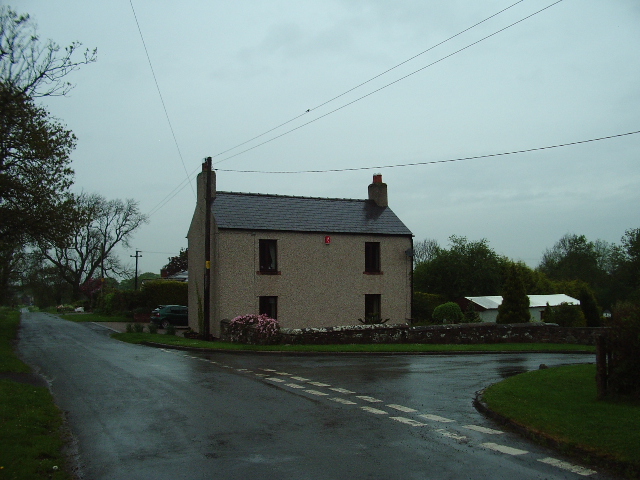
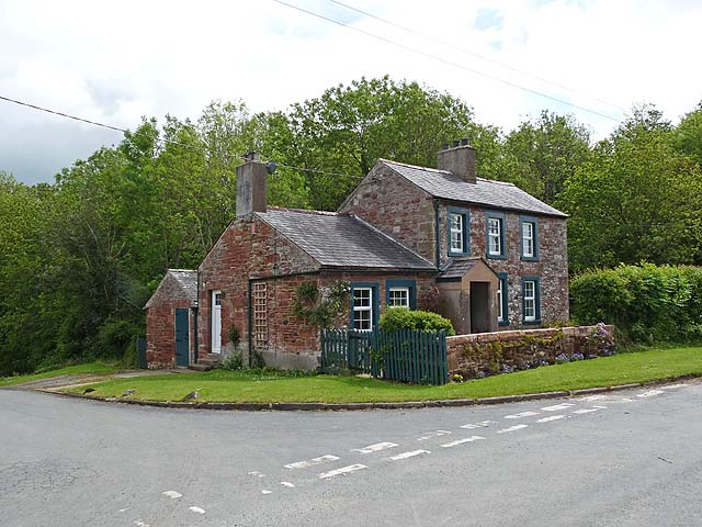
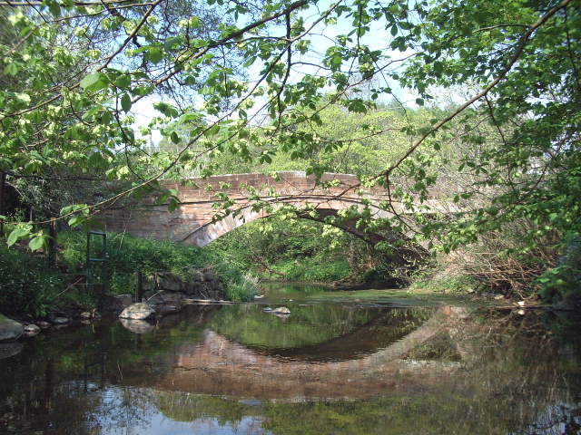
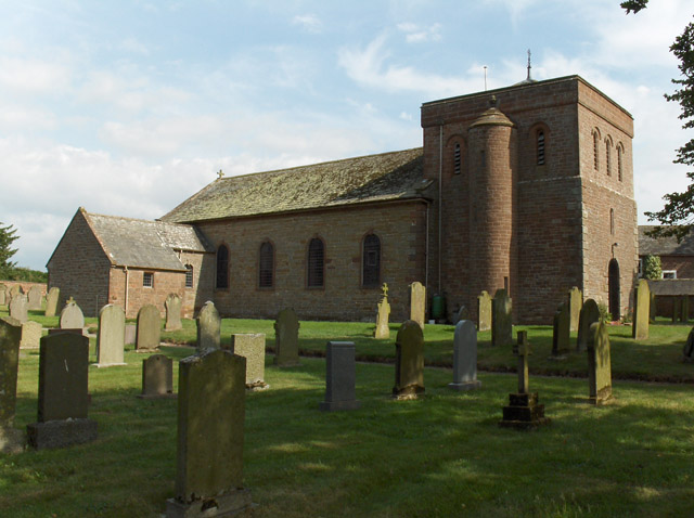
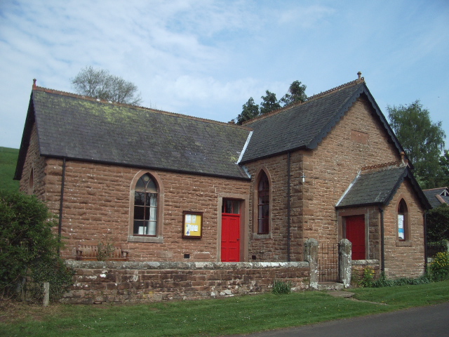
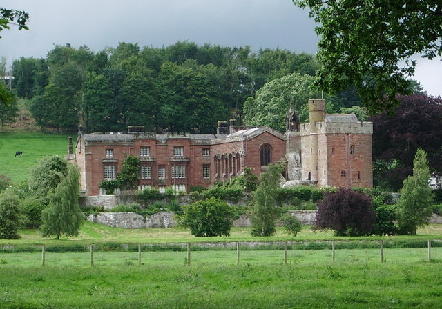
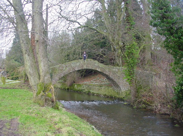
Bird's Hill Images

Images are sourced within 2km of 54.818272/-2.9412484 or Grid Reference NY3947. Thanks to Geograph Open Source API. All images are credited.

Road junction at Bird's Hill
Road through Raughton
Road junction near Sprunston
Greensyke An isolated cottage and barn near Dalston.
Greensyke
An isolated cottage and barn near Dalston.
Cottage at Unthank Across the road from Unthank House <a href="https://www.geograph.org.uk/photo/173680">NY3948 : Unthank House</a>.
Cottage at Unthank
Across the road from Unthank House NY3948 : Unthank House.
Pasture and woodland, Gaitsgill, Dalston Beside the River Roe at Thrangholm Bridge.
Pasture and woodland, Gaitsgill, Dalston
Beside the River Roe at Thrangholm Bridge.
Pasture, Dalston Cattle to the east of Gaitsgill.
Pasture, Dalston
Cattle to the east of Gaitsgill.
Track to Dobcross Hall
The road to Red Gyll
Town Foot Farm
Town Foot Farm
The Road to Greensyke
Unthank House Situated on the north side of the junction Unthank House has recently been renovated
Unthank House
Situated on the north side of the junction Unthank House has recently been renovated
High Carnaby and Keeper Cottage, Raughton
Bird's Hill The red door stood out and brightened up an otherwise very dull and wet day
Bird's Hill
The red door stood out and brightened up an otherwise very dull and wet day
The main street Gaitsgill The old 1940 map says Gatesgill so do some of the road signs but the 2005 map says Gaitsgill also, some of the road signs say that. So which is right and which is wrong is anyone's guess. I will say Gaitsgill, anyone for a discussion?
The main street Gaitsgill
The old 1940 map says Gatesgill so do some of the road signs but the 2005 map says Gaitsgill also, some of the road signs say that. So which is right and which is wrong is anyone's guess. I will say Gaitsgill, anyone for a discussion?
Farmland near Gaitsgill Beside the track that heads to Dalston.
Farmland near Gaitsgill
Beside the track that heads to Dalston.
Gaitsgill Bridge Over the River Roe.
Gaitsgill Bridge
Over the River Roe.
Straw bales, Raughton Head Fields near Raughtonhead Hill Farm.
Straw bales, Raughton Head
Fields near Raughtonhead Hill Farm.
Show me another place!

Bird's Hill is located at Grid Ref: NY3947 (Lat: 54.818272, Lng: -2.9412484)

Administrative County: Cumbria

District: Carlisle

Police Authority: Cumbria

What 3 Words

///boxing.husband.sniff. Near Dalston, Cumbria

Related Wikis

Nearby Amenities

Located within 500m of 54.818272,-2.9412484
Raughton Cottages.
Local Ref: AT
Naptan AtcoCode: 090033151358
Naptan Bearing: W
Naptan BusStopType: CUS
Naptan CommonName: Raughton Cottages.
Naptan Indicator: at
Naptan Landmark: junction near Raughton Cottages.
Naptan NaptanCode: cumaptdm
Naptan Street: No Name.
Naptan Verified: no
Source: naptan_import
Lat/Long: 54.8183754/-2.9473629
Birds Hill
Place: locality
Lat/Long: 54.8178512/-2.9440945
The data included in this document is from www.openstreetmap.org. The data is made available under ODbL.

Have you been to Bird's Hill?

Leave your review of Bird's Hill below (or comments, questions and feedback).