Ochil Hills
Range Of Mountains, Range Of Hills in Perthshire
Scotland
Ochil Hills
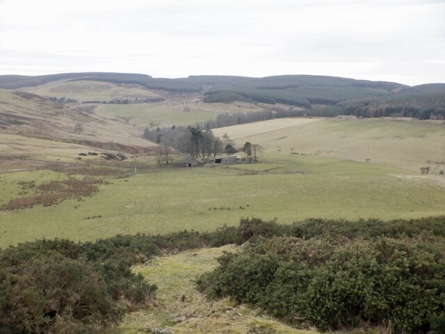
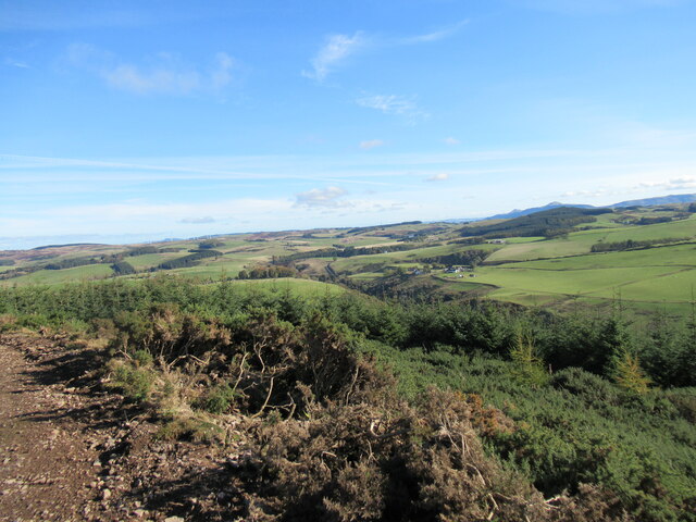
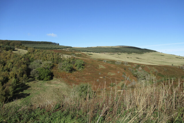
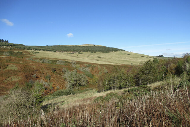
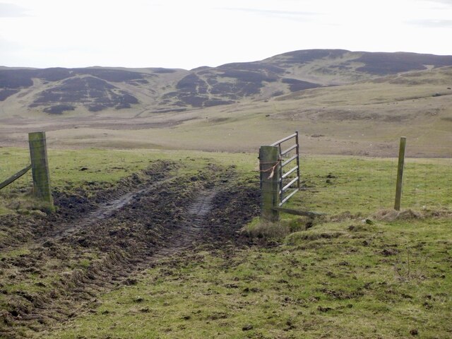
The Ochil Hills, located in Perthshire, Scotland, are a range of hills that stretch across approximately 25 miles from the Firth of Tay in the east to Stirling in the west. While they are referred to as hills, some peaks reach a height of over 2,500 feet, giving them a mountainous appearance.
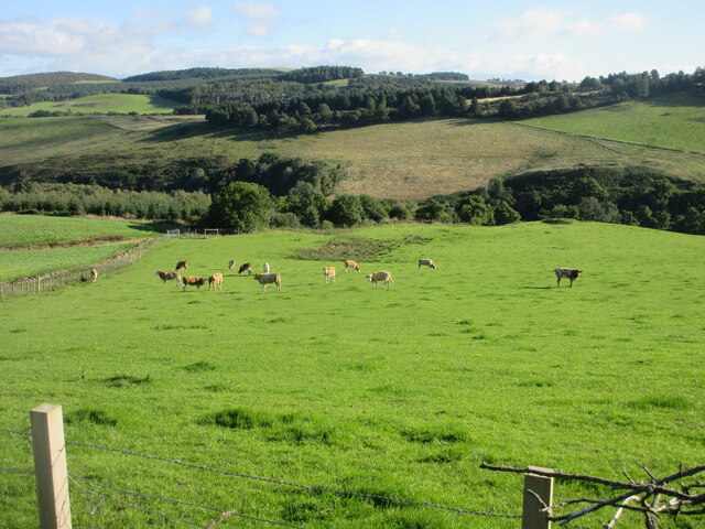
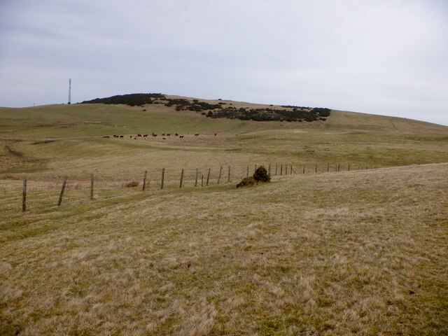
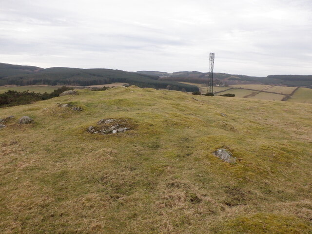
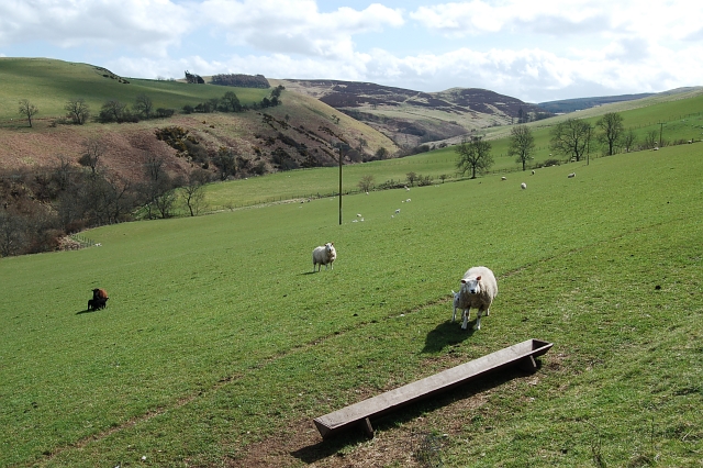
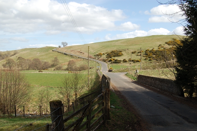
The Ochil Hills are composed of a variety of geological formations, including volcanic rock, sandstone, and limestone. This diverse geology has resulted in a rich and varied landscape, with steep slopes, deep valleys, and narrow ridges. The hills are covered in verdant grasslands and heather moorlands, and many streams and rivers flow through the valleys, providing a habitat for a diverse range of flora and fauna.
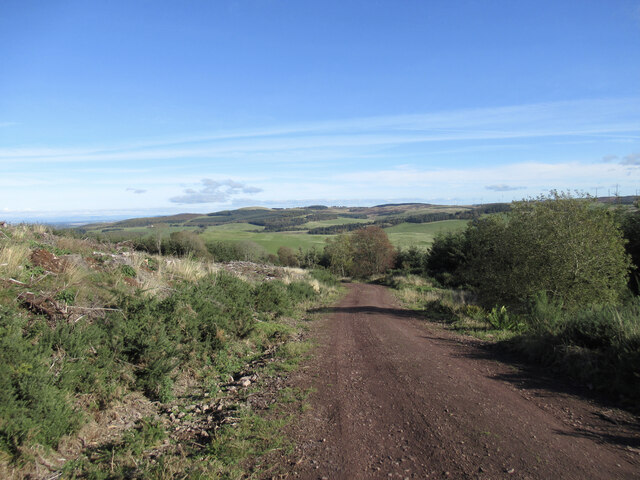
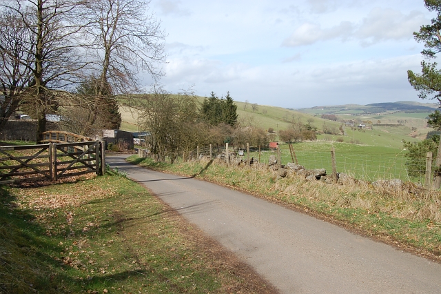
The Ochil Hills are a popular destination for outdoor enthusiasts, offering a wide range of activities such as hiking, mountain biking, and wildlife watching. There are numerous well-marked trails and paths that lead visitors through the hills, providing breathtaking views of the surrounding countryside and beyond. The area is also home to several nature reserves, including the Ochil Hills Woodland Park and the Gannel Estate, which provide opportunities for birdwatching and nature photography.
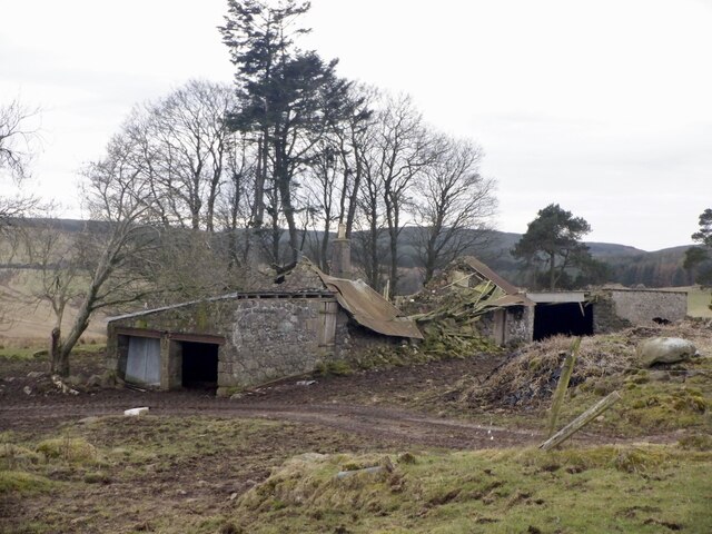
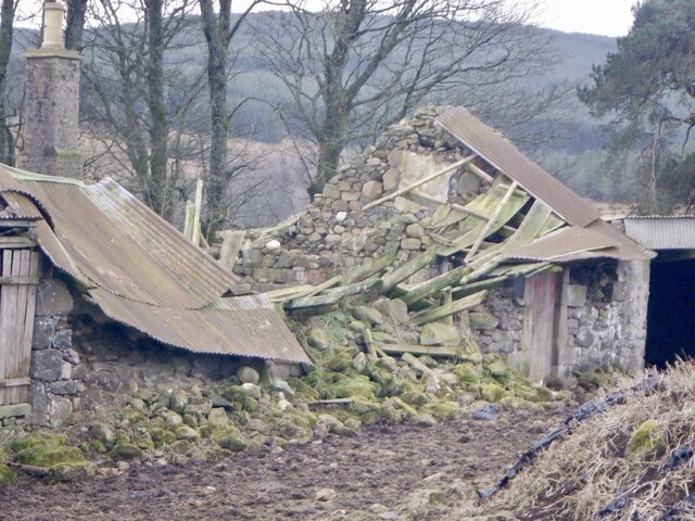
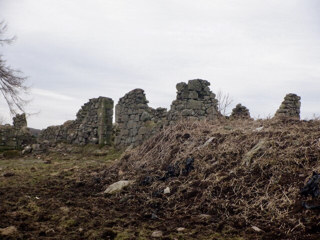
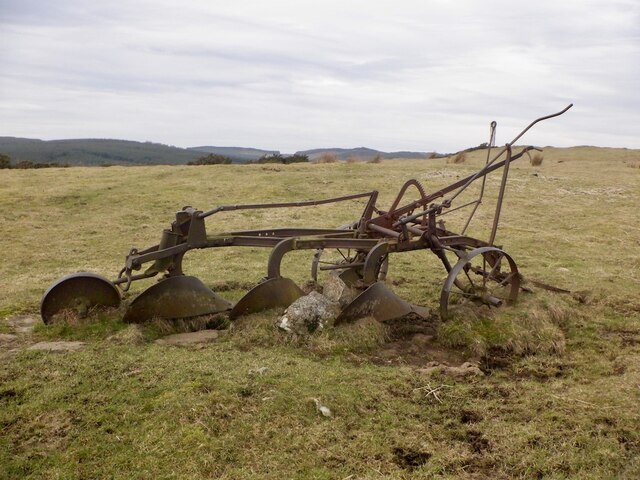
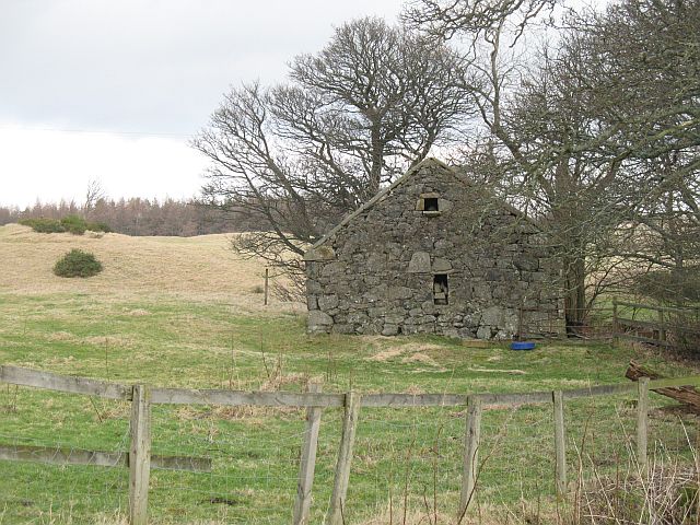
In addition to their natural beauty, the Ochil Hills are steeped in history and folklore. The hills are dotted with ancient sites, including hillforts, stone circles, and burial mounds, which offer insights into the lives of the people who inhabited this area thousands of years ago. The Ochil Hills also played a significant role in the development of Scotland's industrial past, with remnants of coal mines and quarries still visible today.
Overall, the Ochil Hills in Perthshire are a stunning and diverse range of mountains and hills, offering a wealth of natural beauty, outdoor activities, and historical intrigue for visitors to explore and enjoy.
If you have any feedback on the listing, please let us know in the comments section below.
Ochil Hills Images
Images are sourced within 2km of 56.283775/-3.4883663 or Grid Reference NO0711. Thanks to Geograph Open Source API. All images are credited.
Ochil Hills is located at Grid Ref: NO0711 (Lat: 56.283775, Lng: -3.4883663)
Unitary Authority: Perth and Kinross
Police Authority: Tayside
What 3 Words
///newest.dwell.lessening. Near Milnathort, Perth & Kinross
Nearby Locations
Related Wikis

Ochil and South Perthshire (UK Parliament constituency)
Ochil and South Perthshire is a county constituency of the House of Commons of the Parliament of the United Kingdom. It elects one Member of Parliament...
Abbots Deuglie
Abbots Deuglie () is a hamlet in Perth and Kinross, Scotland. It is located in the Ochil Hills, in Arngask parish, about one mile (1.5 km) west of Glenfarg...

Orwell, Kinross-shire
Orwell is a parish in Kinross-shire, Scotland. It contains the market town of Milnathort, as well as the hamlet of Middleton. The name comes from the Gaelic...

Invermay
Invermay ( ) is a diffuse settlement in Perth and Kinross, Scotland. It is situated approximately 2 km southeast of Forteviot on the Water of May, some...
Have you been to Ochil Hills?
Leave your review of Ochil Hills below (or comments, questions and feedback).